Unstad Beach Lofoten Islands

Unstad Beach Lofoten Islands

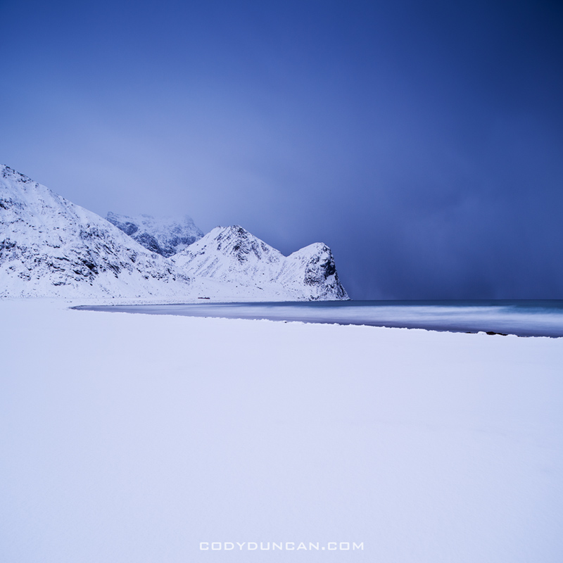
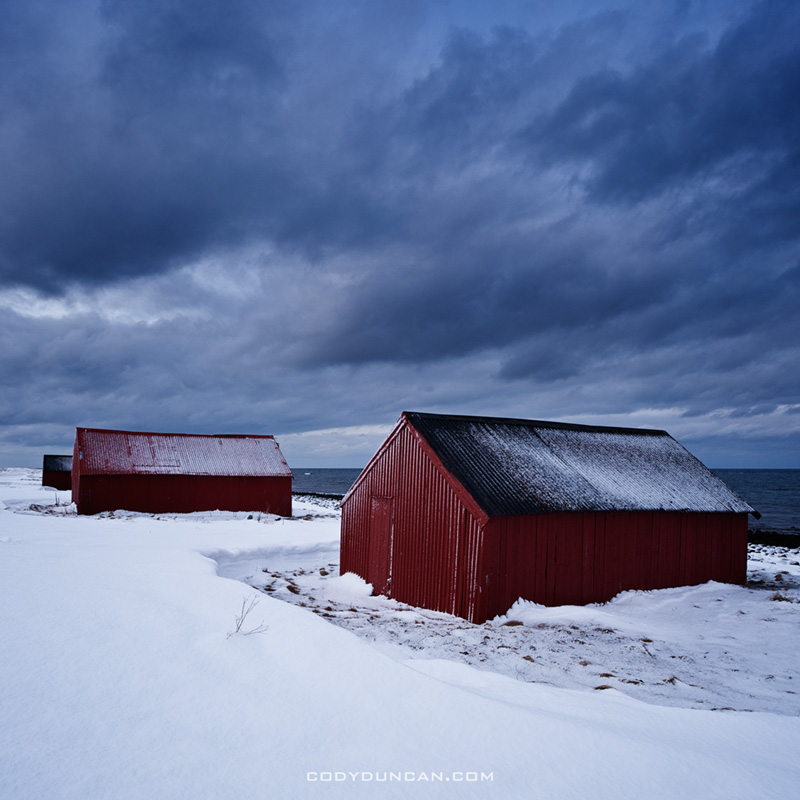
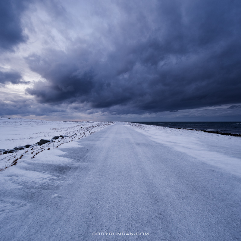
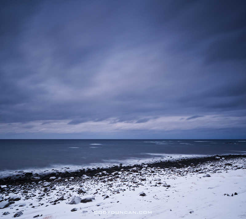
Photo: Snow covered Unstad beach, Lofoten Islands, Norway

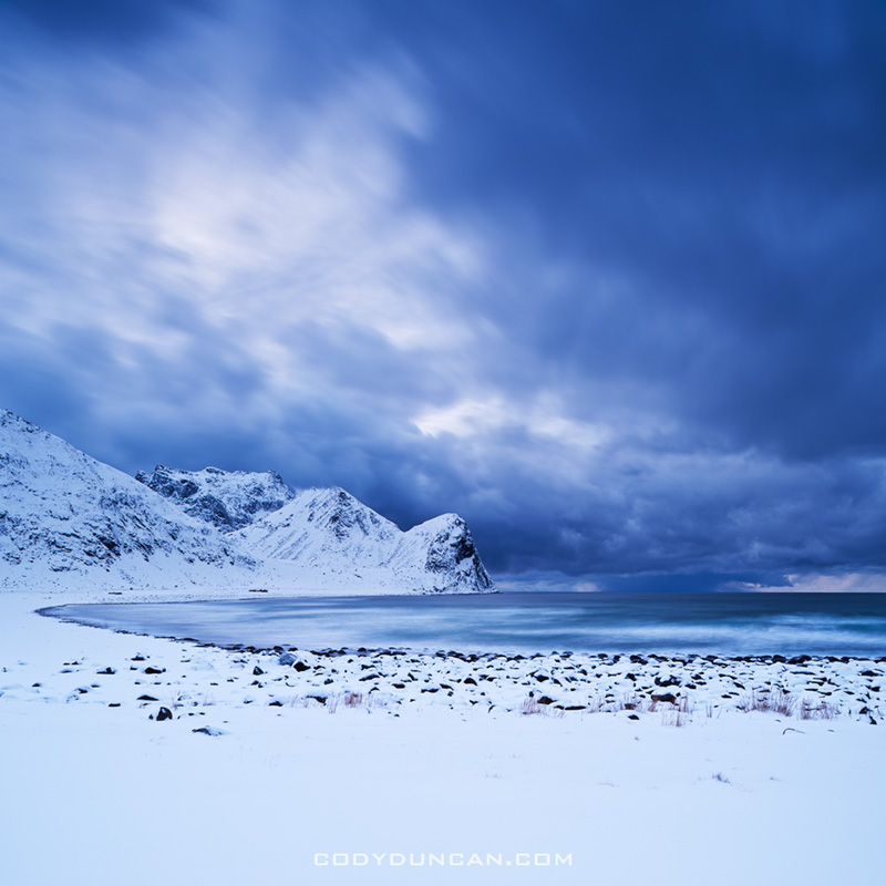
A hunch, as well as some minor understanding of Lofoten weather patterns (if such a thing can exist) led me out a of a never ending snow storm to the relative calm at Unstad.  The light was nearly gone from an already short January day, but there was enough.

Unstad Beach Lofoten Islands

Photo: Storm clouds over Unstad beach, Lofoten Islands, Norway

Lofoten Islands Winter Sunrise

Lofoten islands norway winter sunrise

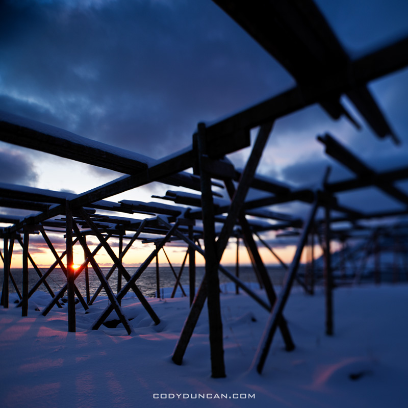
Photo: January sun shines through empty stockfish racks, Lofoten islands, Norway

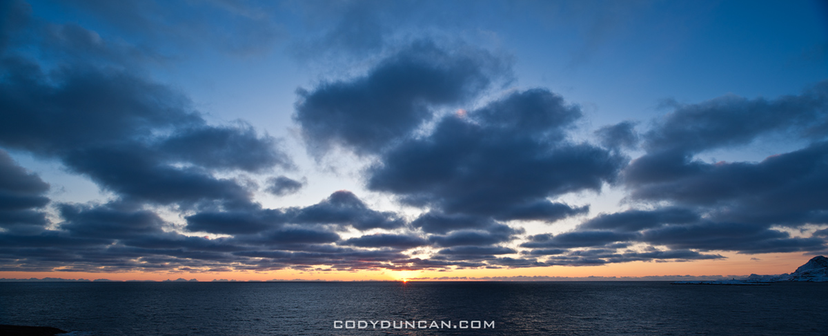
These two images are from the 6th of January, when the sun does not fully rise above the horizon on the Lofoten islands.  Normally we’re used to sunrise in the east, sunset in the west.  However, north of the arctic circle, this isn’t really true.  In winter, the sun rises and sets towards the south, where as in summer, it sets towards the north.  In relation to this is that the sun travels much more parallel in relation to the horizon – I wont go into the numbers right now, maybe some other time I’ll bring out the astronomy nerd in me.  So, the result of this for the viewer, or photographer, is that the sun appears to rise and set very slowly.  Or in more practical terms, sunrise/sunset lasts a lot longer that here in California.  On the case of the 6th of January, the sun travels along the southern horizon for about an hour before disappearing once more.  Yep, that’s it, 1 hour of sun for the day.  Just a few days previous, New Years for example, there is no sun at all.  Though it is not far below the horizon, giving a magical twilight light if the skies are clear.


Lofoten islands norway winter sunrise

Photo: January winter sun on horizon over Vestfjorden, Lofoten islands, Norway.

Ågvatnet – Å I Lofoten Norway

Ågvatnet lofoten islands norway

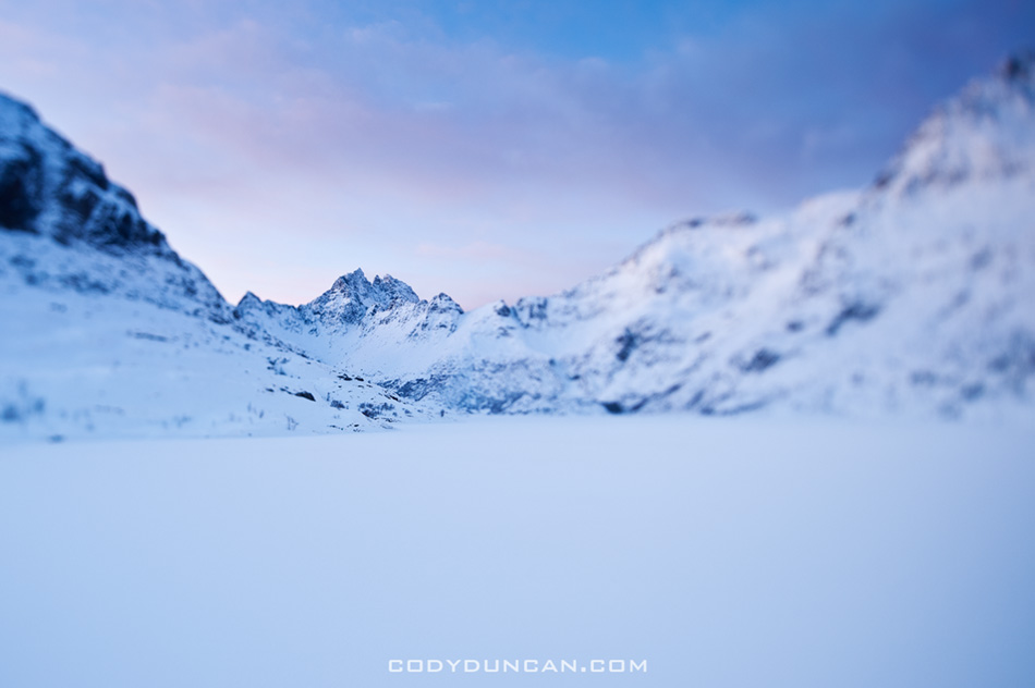
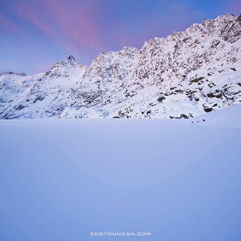
Photo: Ågvatnet cloaked in winter snow.  Jan 2010

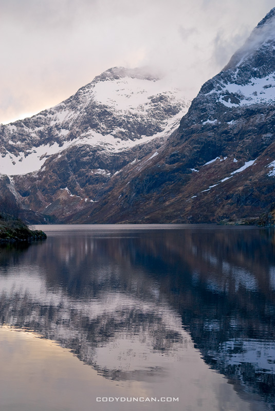
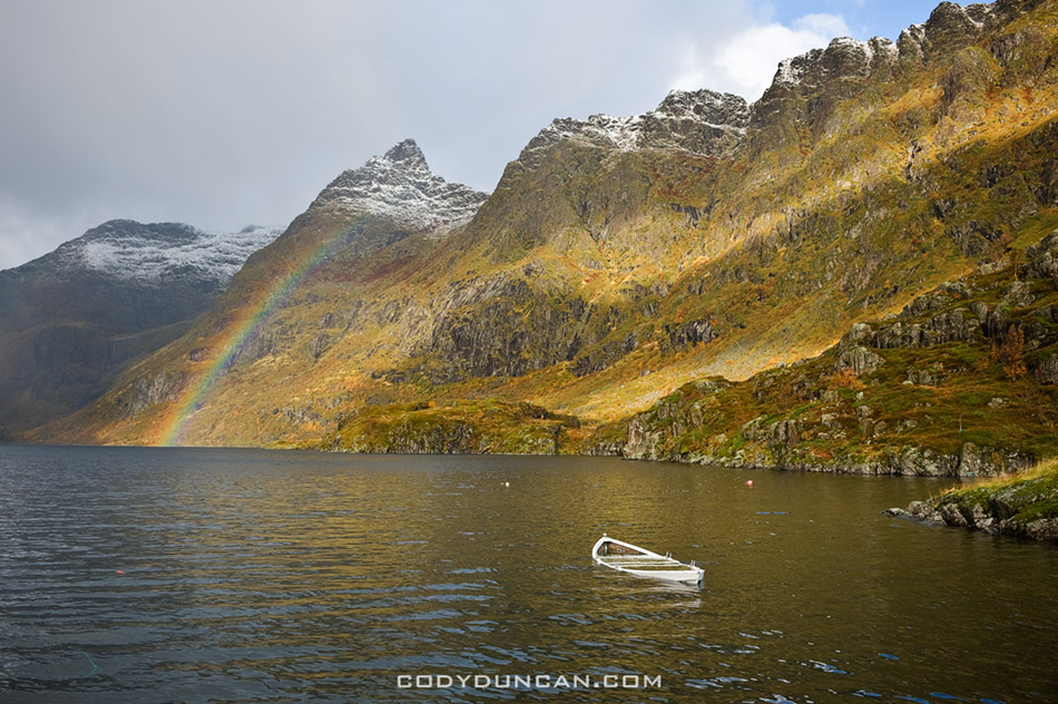
In my last post I wrote about returning to Ågvatnet to try and make a ‘better’ version of a photo that I like very much, and was good for a 20 year having only ever taken a high school photo class, but by today’s standards is a bit lacking.  Ågvatnet is the small lake behind the village of Å I Lofoten, which is the westernmost village, and end of the road, in the Lofoten islands.  It can be a gnarly tourist trap in summer  – the road ends in a parking lot after a 1.5 lane tunnel and it can be stuffed to the brim with motorhomes on a nice July afternoon.  So I usually avoid the area at this time of year.   Though that being said, I’m not usually on the islands in the summer anyways.

Anyhow, here’s a few images of the lake during other parts of the year: winter, spring, and autumn.  The autumn image is the closest I’ve come to my first photo, yet as you can see the boat is not exactly in top form.  The Rainbow towards the left of the image is from the rain that would soak me in another minute.

Ågvatnet lofoten islands norway

Ågvatnet lofoten islands norway

Ågvatnet lofoten islands norway

10 years

Lofoten islands, Norway

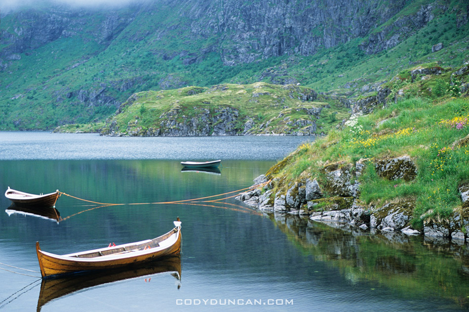
Photo: Boats at rest in Ågvatnet, Å I Lofoten, Norway.  2001

I know the above photo kind of sucks.  I shot it 10 years ago within a couple hours of stepping foot on Lofoten for the first time.  It’s taken with an old Nikon FE and a crappy 35-105mm lens on Fuji Provia 100, hand held sometime shortly before midnight.  I made a print of it, where it hung on my wall for 5 years before I was able to return again.  Over the years I’ve tried to take a ‘better’ version of this photo, but I’ve never encountered proper conditions.  Despite all its faults, it’s still one of my favorites.  I can remember those moments with stunning clarity; it was the point where I knew I had ended up someplace special.  With luck and hard work, Lofoten will be my home by the end of the year.  Something I’ve dreamed about all those years, yet never managed to make much progress towards.  Maybe I just needed to get a little older.

stamsund

Lofoten Islands Hiking – Steinetinden

steinetinden, stamsund lofoten islands norway

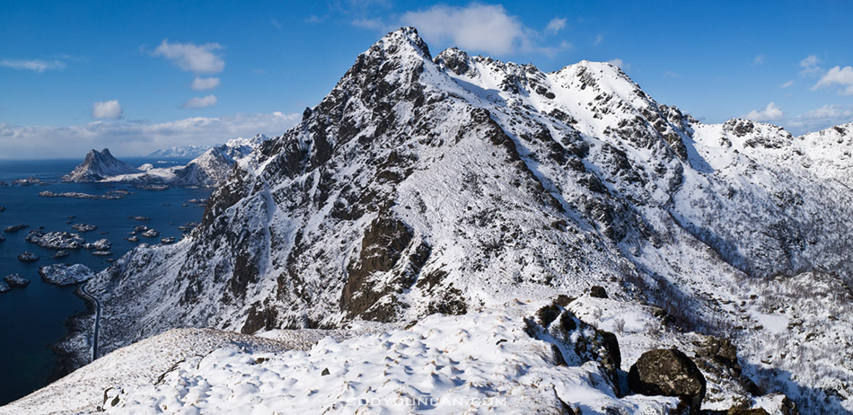
Photo: Winter view from Stamsundheia towards Steinetinden in distance.  Mar 2009

Steinetinden (sometimes called Steinstind, Steinstinden) is a relatively small 509 meter high peak located between Stamsund and Steine on Vestvågøy in the Lofoten islands.  By Lofoten standards its not anything spectacular.  The main attraction of the peak is its close location to the Stamsund youth hostel, about a 5 minute walk across the street for the beginning of the trail.  If you have access to a car, I would recommend setting you’re sights on more aesthetic peaks.  If you just got off the Hurtigruten in Stamsund, are lucky enough to have some fair weather, then Steinetinden is the perfect introduction to what the Lofoten Islands have to offer.  The views aren’t bad, just not as good as elsewhere on the islands.

Location:
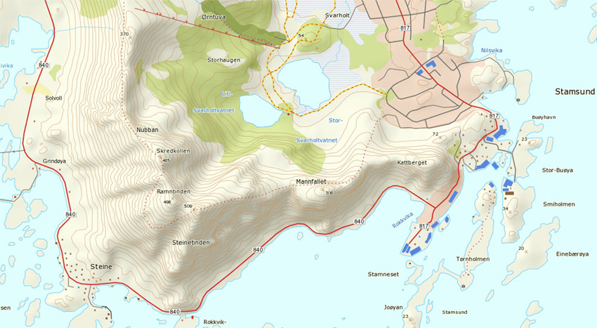
Steinetinden is the highest peak along the circular mountain ridge towards the east of Stamsund.  The most direct and straight forward way is walk up ‘Ringveien’ street which is located across from the Joker market.  From Ringveien one has several options.  One way is to turn on Halsbakken street and continue walking east towards the mountain.  When you see a yellow house with what looks like a parking area  for 2-3 cars in the street before it, head into the bushes at the back of the parking area.  You should detect a faint and probably overgrown trail.  This way will take you up and over Mannfallet first.

Otherwise, from Ringveien take the pathway into the forest at the back of the road that heads towards the lakes (this is also the cross-country ski route in winter).  After several hundred meters on the trail, there should be a sign and a small trail coming from the left.  Once on this trail, there are also two options when one comes to the fork.  Towards the left takes one up the middle peak of Mannfallet (308 meters), towards the right the trail continues through the forest and up a steep, often muddy trail towards Steinetinden.  Personally I think hiking up Mannfallet first is the more scenic route, and even slightly easier.  I generally save the steeper, more direct route for the way down, to make a bit of a loop out of things.

Whether going over Mannfallet first or heading direct towards Steinetinden you will eventually find yourself in a flat grassy area between the two peaks.  From here the trail steeply climbs about another 150 meters up to the summit of Steinetinden.

A word of caution:
while for the most part the trail is not anything technical, there are several locations where it passes quite close to high, steep cliffs and one is exposed to a possible fall of 400-500 meters.  In wet conditions the trail can also be quite slippery/muddy.  There are also several short rock steps that need to be negotiated, again with some exposure to a possible long fall. Go with a group of people if possible, and especially if you’re new to mountains.  Be sure to have proper footwear and don’t be afraid to turn around if necessary.

steinetinden, stamsund lofoten islands norway

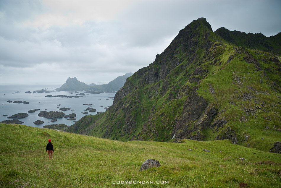
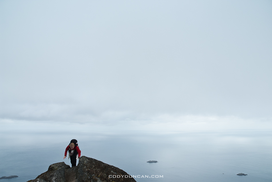
Photo: Final climb towards summit.  July 2006

steinetinden, stamsund lofoten islands norway

Photo: Summer view from Manfallet towards Steinetinden.  July 2006


steinetinden, stamsund lofoten islands norway

Photo: Spring view from Mannfallet towards Steinetinden.  April 2007

steinetinden, stamsund lofoten islands norway

Photo: A bit of exposure near the summit.  July 2006

steinetinden stamsund lofoten islands

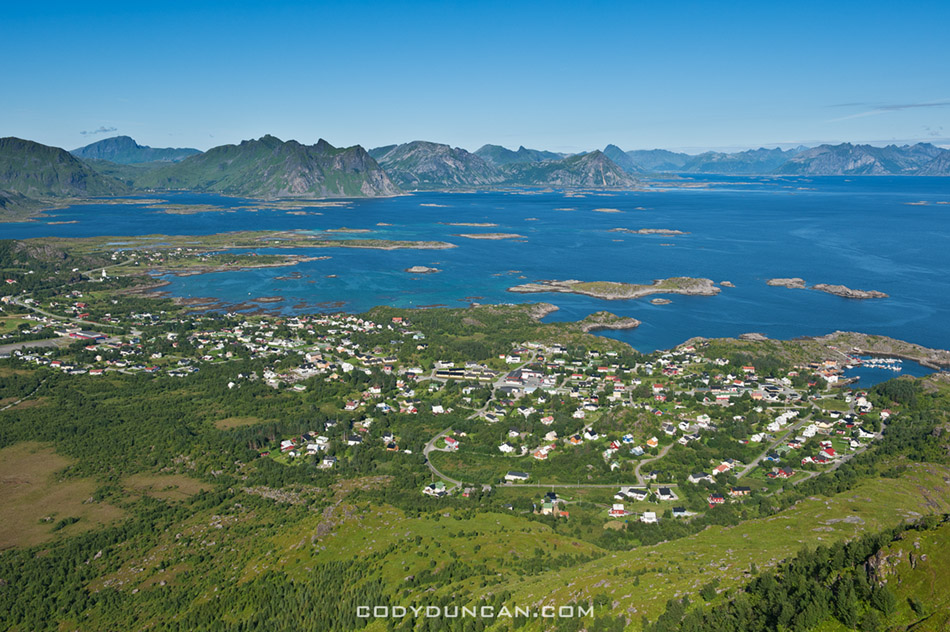
Photo: View of Stamsund from summit. Aug 2010

map

Hadselfjorden – Norway

Hadselfjorden vesteralen norway

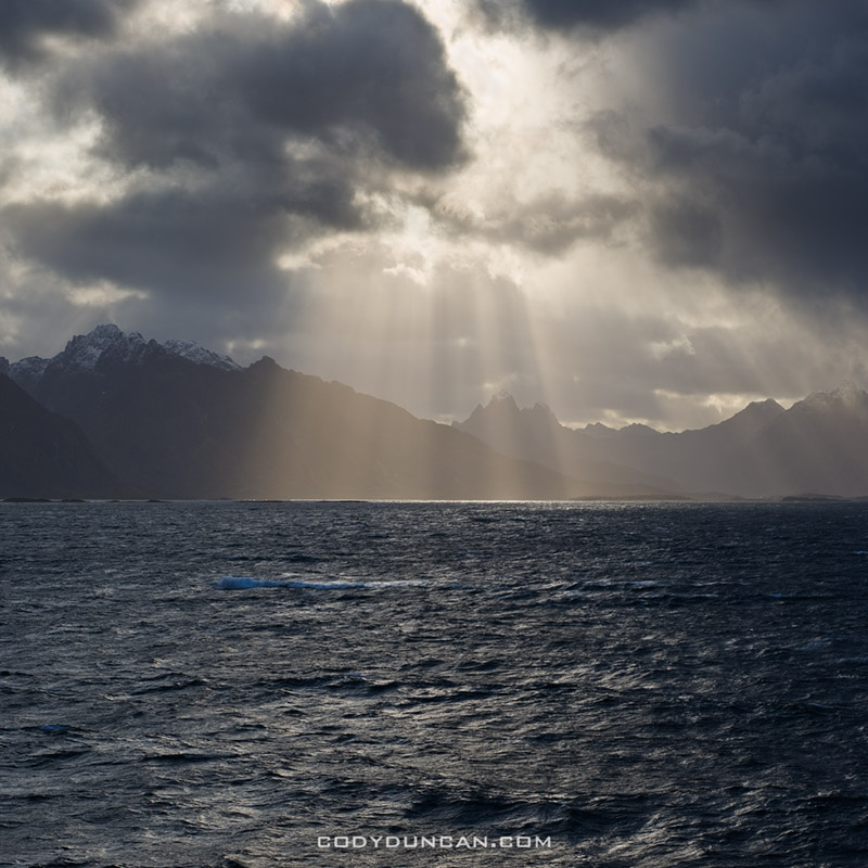
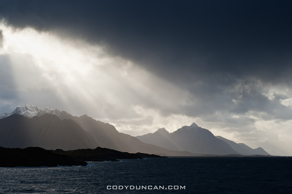
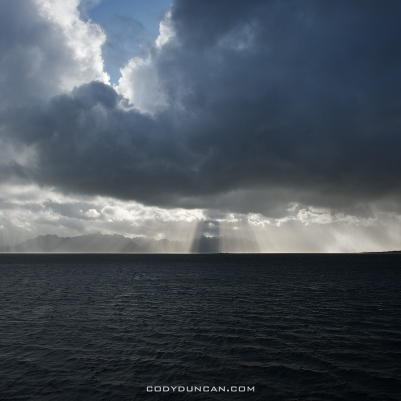
Photo: Autumn storms over mountains of Vesterålen while traveling on Hurtigruten ferry through Hadselfjorden, Norway. Sept 2009

I think Hadselfjorden is not really a fjord but a straight, separating some of the Vesterålen islands and a bit of Lofoten as well.  But in Norwegian, if its made of salt water, and you can see land from it, they call it a fjord. Forget about firths, bays, straights, bights, coves, channels, etc.  Fjord it is in Norway. (Yes, I know this is not totally true.  I’m attempting to be slightly humorous.  No need to correct me.)

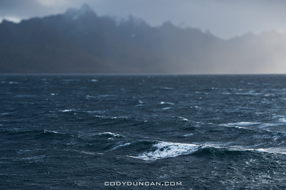
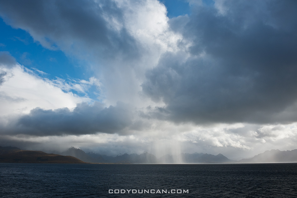
I usually have pretty good luck with dramatic light and stormy weather while traveling along the Norwegian coast, making it one of my favorite ways to get up and down the country.  Maybe its just always stormy.  These images are from one autumn afternoon while traveling on the Hurtigruten from Sortland to Stamsund. 


Stormy seas of Hadselfjord, Vesteralen, Norway

Dramatic skies over rising mountain peaks of Vesteralen viewed from Hadselfjord, Norway

Steep mountains rise from sea, Lofoten islands, Norway

Dramatic light over mountains of vesteralen as viewed from Hurtigruten

Moonrise over Vestfjord

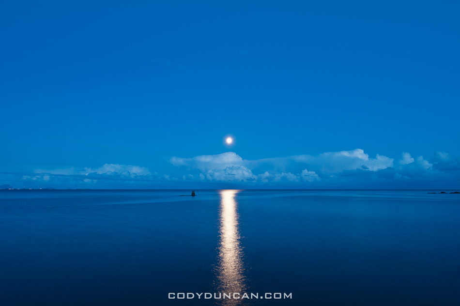
Full moon rising over Vestfjord, Stamsund, Lofoten islands, Norway

Photo: Full moon rises over Vestfjord on a calm autumn evening, Stamsund, Lofoten islands, Norway.  Oct 2009

The last month has been pretty slow for me so I’ve been processing some older stuff to send into my agencies.  Mostly its crap that I passed over for a reason, but I’ve found a few decent images here and there.  I think looking back on work after a year or two gives a different perspective than that of immediately after the trip.  Perhaps the separation of time means I look more at the image alone, without the added memories or emotions that may be associated with it.  Or maybe I was simply going for a particular look or theme immediately after a trip.  Whereas now I can look back and figure if its a halfway decent photo, I might as well see if my agency wants it.  Though I’m sure there are slightly more productive things that I should be doing, like writing a business plan that will hopefully allow me a work visa for Norway.


Panoramic Landscape Photography

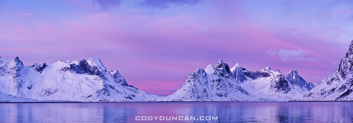
Scenic winter view across Kjerkfjorden towards Vindstad, near Reine, Lofoten islands, Norway

Winter view across Kjerkfjorden towards Vindstad, Lofoten islands, Norway.  Jan 2010.  This was perhaps one of the most perfect days I’ve experienced in my life.  The day to which I have since judged every other; none having come close in the last 18 months since I took this photo.  But as with all good things, the 4 hours of light of the polar winter was gone all to quickly.  An amazing 4 hours it was.

I now have close to 600 images in my panoramic gallery.  CLICK HERE to view more.

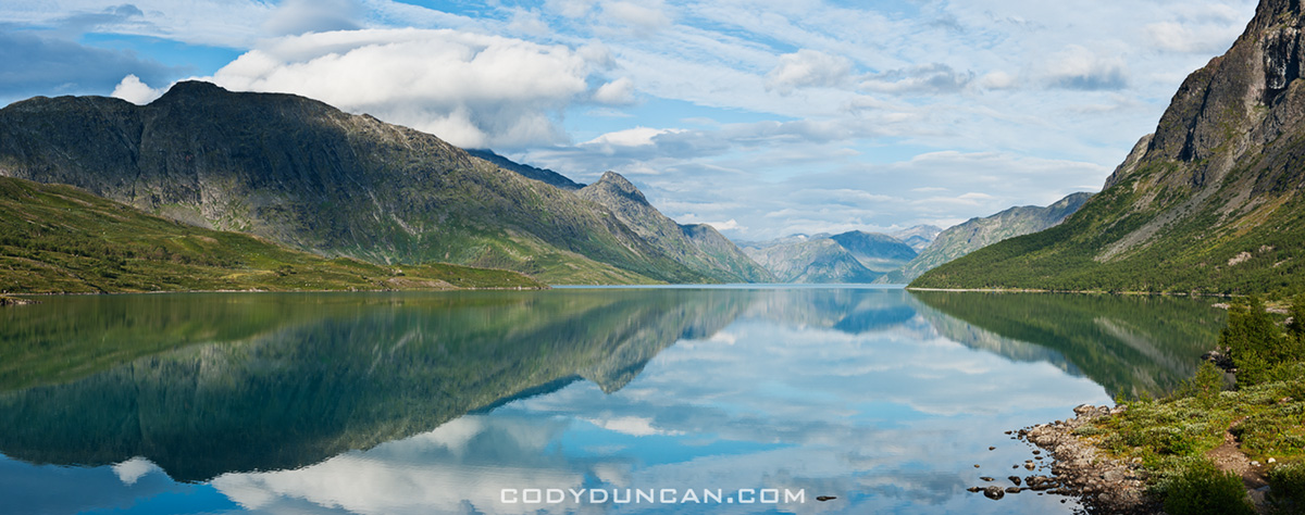
Reflection on lake Gjende, Gjendesheim, Jotunheimen national park, Norway

Lake Gjende, Jotunheimen national park, Norway.  Aug 2010.  I rose early for sunrise, yet nothing of much interest materialized so I returned to my tent for a few more hours of rest.  A few ours later I peeked out the door and saw this scene of total calm.  I checked my watch, shit, the ferry leaves in a few minutes, time to get moving.  I hoped up, ran down barefooted (to the mosquitoes liking) to the shore of the lake.  5 minutes later, the morning ferry to Gjendesheim passes by, the wake leaving the lake rippled there after…

Dramatic light over Lofoten and Vesteralen islands, Norway

Lofoten and Vesteraalen islands, Norway.  Sept 2009.  Taken from on board the Hurtigruten ferry as I traveled from Sortland to Stamsund on a rather stormy and windy day.  Luckily storms and wind make for nice light is one is brave enough to face the elements.  I made many nice Photos during this journey.

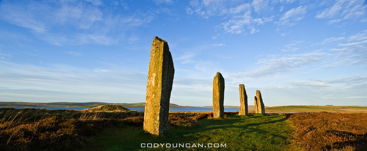
Ring of Brodgar standing stones, Orkney, Scotland

Ring of Brodgar, Orkney, Scotland. Dec 2009.  The barren, windswept islands which make up the Orkney islands are one of my favorite places.  While the short days of December are probably not the most ideal time to visit, it had been three years since I last stepped foot here, so my return was long overdue.  Despite a bit of wind, the weather cooperated quite well over the few days I was there.

Welsh Mountain Pony

Welsh Mountain Pony, Hay Bluff, Brecon Beacons national park, Wales. Jun 2010.  Hay Bluff, just above the town of Hay-on-Wye was one of my favorite places for a summer afternoon of wandering around the hills.  Quite often the weather was typically ‘Welsh’ (rain), yet some days managed to turn out quite nice, there in a Welsh Mountain Pony, and there you go, the photo is almost made for you.

Stamsund, Lofoten islands Norway

Stamsund, Lofoten islands, Norway.  July 2010.  I’ve stood in this very spot a hundred times in the last 10 years, and walked away with a hundred different images.  It’s a little rocky point out beyond the harbor from the Stamsund Vandrerhjem.  To the north is this view towards Henningsvaer.  East looks across the Vestfjord towards the Norwegian mainland, visible on clear days.  This photo was taken after 11:00pm, on one of those magically endless Lofoten summer days.  Stamsund is quite simply the center of the universe, enter and you may never return…

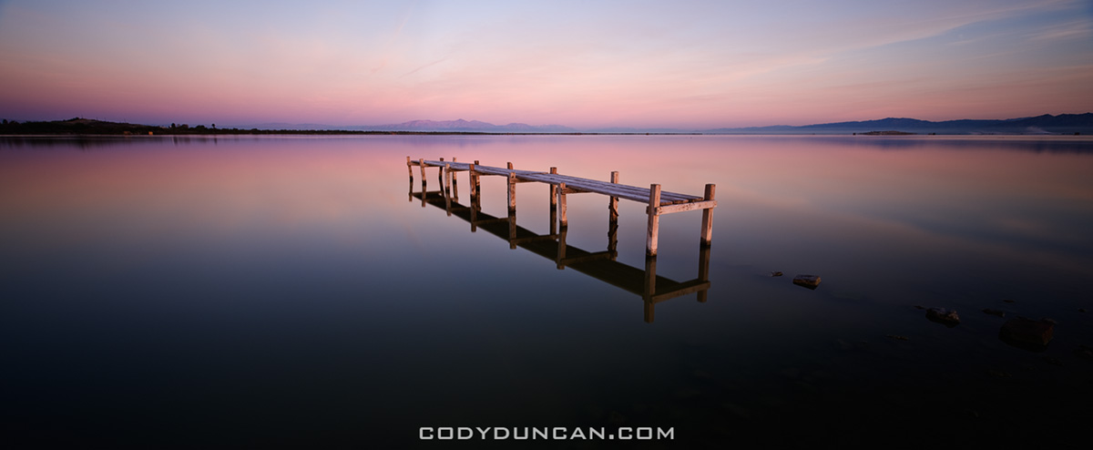
Abandoned walkay in water, Salton Sea, California

Salton Sea, California.  Mar 2010.  The Salton Sea is always an interesting place, both for ones eyes and nose.  I arrived in darkness to a location that I thought I knew, yet I wasn’t aware just how far the lake level had declined since my last visit.  This is what I found waiting in the morning light.

Eureka dunes, Death Valley national park, California

Eureka Dunes, Death Valley national park, California. Feb 2011.  Isolated in the northern end of Death Valley national park are the Eureka Dunes.  Less frequented than other areas of the park, one can escape here for a bit more isolation and a better chance at footprint-less dunes.

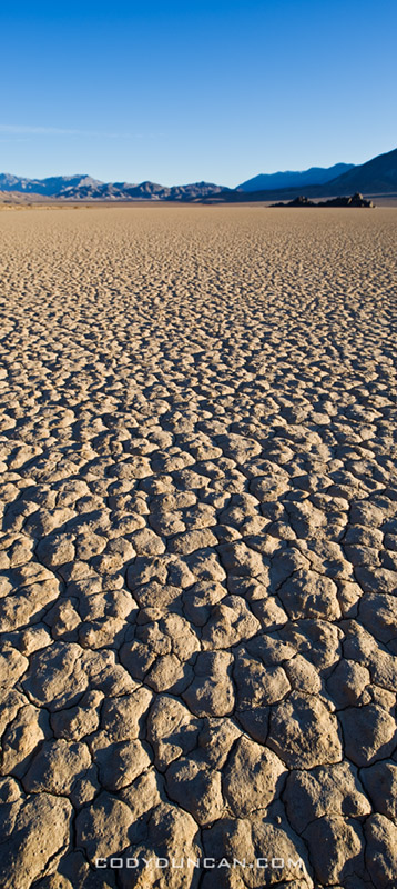
Dry lake bed of the Racetrack playa, Death Valley national park, California

Devil’s Racetrack, Death Valley national park, California. Feb 2010.  Vertical panoramic to emphasize the texture of the dry lake bed playa.


Eggum – Lofoten

Eggum winter lofoten islands

Photo: Boat sheds in winter, Eggum, Lofoten islands, Norway. Jan 2010

In summer, with it’s north facing coastline, Eggum is a popular location for campers hoping to see the midnight sun. The grassy, green fields past the town are often filled with tents and RV’s enjoying the 24 hours of daylight during the Lofoten summer. After the road ends there is also a nice, easy coastal walk which connects to the village of Unstad.

In winter, Eggum is a lonely place. There is no light, and cold northern winds often sweep across the landscape.

Eggum winter lofoten islands

Photo: Empty windswept road, Eggum, Lofoten islands, Norway.  Jan 2010

Winter coastline at Eggum, Lofoten islands, Norway

Photo: Rocky coastline in winter, Eggum, Lofoten islands, Norway.  Jan 2010

Lake Gjende viewed from Besseggen ridge, Jotunheimen national park, Norway

Hiking the Besseggen Ridge – Jotunheimen National Park, Norway

Hiking the Besseggen Ridge – Jotunheimen national park, Norway
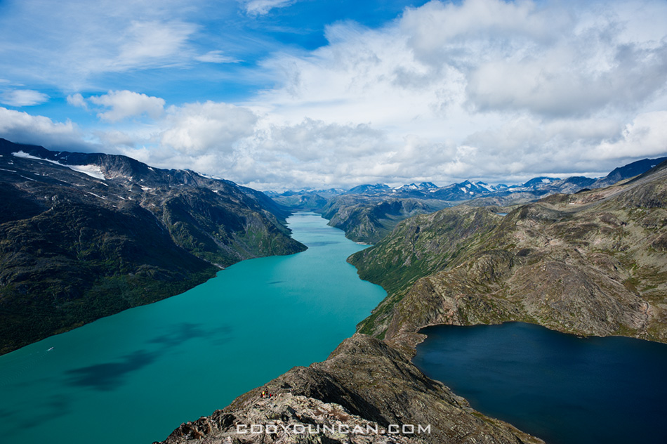
Lake Gjende viewed from Besseggen ridge, Jotunheimen national park, Norway

Photo: Lake Gjende and Bessvatnet from Besseggen ridge, Jotunheimen national park, Norway

The Besseggen ridge hike is one of the most popular in Norway, with some 30,000 people making the trek between Gjendesheim and Memurubu each year.  Located in the stunning mountain scenery of Norway’s Jotunheimen national park, the trail roughly follows a ridge on the north side of lake Gjende and provides amazing views of the whole length of the long and colorful lake as it sits surrounded by glaciated mountain peaks.

With a distance of about 8 miles (13 km) and climbing 2,500 feet (759 m) above lake Gjende the hike requires a moderate level of physical fitness.   Expect to take 5-7 hours to complete the hike between Gjendesheim and Memurubu.  The trail is well marked and easy to follow, and due to its popularity, it’s doubtful you’ll be alone – even in bad and rainy weather.

From Gjendesheim, the trail climbs at a moderate gain for several kilometers until finally reaching a high and rocky alpine plateau.  Even if the wind is calm at lake level, it can be cold and windy once up high, be prepared.   The steepest and narrowest section occurs shortly after passing the high point of 5,718 feet (1743 M) – marked with a large cairn.   After this point, the trail then proceeds to quickly drop down to the southern shore of lake Bessvatnet at 4,504 feet (1373m).  Here is were you have one of the best views of Lake Gjende. Lake Bessvatnet represents the approximate half way point and is a good place to sit in the sun (if your lucky) and have a nice lunch.

Continuing from lake Bessvatnet the trail is relatively flat with only moderate climbs/descents until the final short and steep descent to Memurubu and the shores of lake Gjende.

HERE is a good online topo map for all of Norway.  Take a quick look so you can get a bit more comfortable with my descriptions and not mix up Gjende for Gjendebu for Gjendesheim.  Enter either ‘Besseggen’ or ‘Gjende’ in the search box and hit the ‘Kartsøk’ button.  This will get you where you need to look…
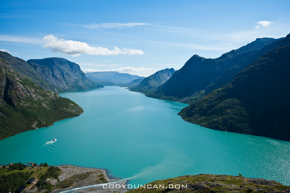
besseggen-ridge-norway3

Photo: Ferry leaves Memurubu for Gjendesheim (in far distance)

View of Besseggen ridge and Bessvatnet lake, Jotunheimen national park, Norway

Photo: view east of Besseggen ridge rising above lake Bessvatnet

Day hiking the Besseggen ridge gives one several options on how to go about things and how long of a day is desired.

• Ferry Gjendesheim – Memurubu : Hike Memurubu – Gjendesheim:
A popular way to make the hike is to take the morning ferry from Gjendesheim to Memurubu and make the hike back.  This way has the benefit of not having to meet the ferry schedule for a return trip, thus meaning that one can go as slow or fast as wanted.  One drawback is you will likely be hiking in a crowd of people all arriving with the boat, unless one sits around Memurubu while the crowd continues up the trail.

• Hike Gjendesheim – Memurubu : Ferry Memurubu – Gjendesheim:
This way one can get an early start and have the trail relatively empty.  Though if looking for mountain solitude, I suggest going elsewhere in the park.  The main drawback of this way is that one has to keep schedule to catch the ferry back to Gjendesheim.  Personally, I think the view is more scenic in this direction, and the sun will be at your back during the morning hours.

• Hike Gjendesheim – Memurubu : Hike Memurubu – Gjendesheim:
For a longer day, it’s possible to hike the ridge to Memurubu and back.  Or, to save some tired knees, there is a flat trail that follows the lake, connecting Gjendesheim and Memurubu.

• Ferry Gjendesheim – Gjendebu : Hike Gjendebu – Gjendesheim:
For a long day, take the morning ferry to the end of lake Gjende and Gjendebu and hike back to Gjendesheim.  The section between Gjendebu and Memurubu is relatively uncrowded and provides stunning views of lake Gjende and one approaches Memurubu and also some amazing views of Memurudalen – Memuru valley.

CLICK HERE for ferry schedule
CLICK HERE for ferry prices
CLICK HERE for DNT mountain hut info
CLICK HERE for a topo map of Norway. Search ‘Besseggen’ or ‘Gjende’
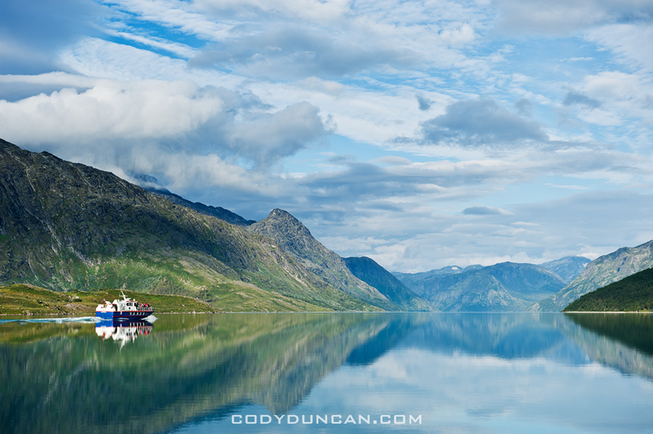
lake Gjende ferry

Photo: Ferry and mountain reflections on lake Gjende from Gjendesheim

Overnight trips to the huts:
The lake ferry boat not only carries people, it will also carry luggage.  So, say one is looking to stay overnight at Memurubu or Gjendebu hut, put your luggage on the ferry and hike from Gjendesheim.  When you arrive in Memurubu, your bags will be waiting.  This can also work in reverse, staying your first night in the hut and then hike back to Gjendesheim while your luggage takes the ferry.

Camping:
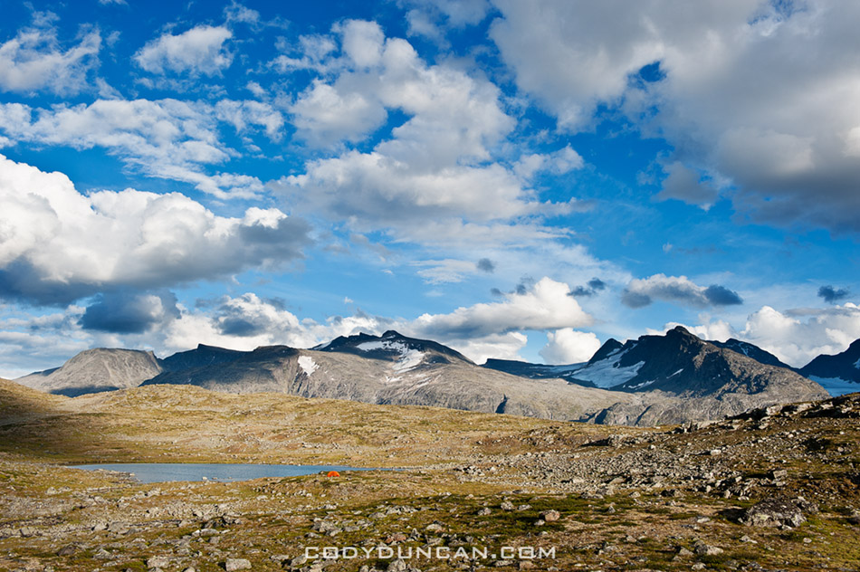
Wild camping is possible basically everywhere, the only restrictions being the immediate area around the huts.  Water is plentiful and tasty.  On the other hand, finding a flat and dry spot to pitch a tent can sometimes take a bit of searching, but is well worth the effort to sleep with some amazing views out the tent door.

Camping near Gjendesheim.  Walk past the end of the parking area and continue along the lakeside trail for 100m.  Beginning here you you see plenty of places to pitch a tent.  Can get a bit crowded on a nice summer weekend.
Scenic mountain landscape of Jotunheimen national park, Norway

Photo: Alone in the wilderness.  Wild camping in Norway’s Jotunheimen national park

Further into Jotunheimen:
Jutunheimen national park is an amazing place.  I highly recommend making a longer hike through the park, either as a multi-day loop or through hike.  While I enjoy camping in the wild, it’s also possible to carry a light pack and overnight in the well connected network of huts, many of which also serve food.

When to go:
The main summer season in the Norwegian mountains in July and August.  These months will be your best bet for sunny, warm days.

Getting there:
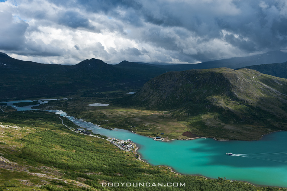
The start or finish of the Besseggen ridge is located at Gjendesheim, on the eastern end of lake Gjende and Jotunheimen national park itself.  Here you’ll find a full service DNT hut, a small (expensive!) shop/cafe, toilets, the ferry boat, and parking area.

By Bus:
Several busses travel to Gjendesheim daily.  The two options are to travel via Fagernes (to/from Oslo) in the south.  To the north the bus travels to Vagamo where one can transfer east to Otta and the train, or continue west through the fjords.

By Train:
There is no direct train link to Jotunheimen national park.  If traveling by train, say from Trondheim in the north, exit at Otta, where you will have to take the bus to Vagamo, then on to Gjendesheim.  The bus/train does not always meet at a convenient time, so be sure to check schedules.

Transportation links:
NSB – Norwegian train company
Nor-Way – Long distance bus routes incl. Olso – Gjendesheim
Ruteinfo – Local and regional bus information
Gjende – Lake Gjende ferry.  Prices and timetable

Other Useful links:
DNT – The Norwegian Trekking Assocaition
Interactive topo map including trails and huts for all of Norway
Norwegian weather

CLICK HERE for more photos of Jotunheimen national park from summer 2010

If there’s anything I seemed to miss, let me know and I’ll try and add it.
View towards Gjendesheim and lake Gjende, Jotunheimen national park, Norway

Photo: Looking towards Gjendesheim on the shore of lake Gjende from near start/finish of Besseggen Ridge trail