Mount Whitney
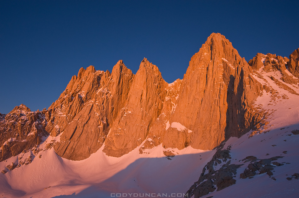
Photo: Sunrise on east face of Mount Whitney, Sierra Nevada mountains, California. May 2010
If everything has gone alright, something similar to this should be my view this morning and I should be on the top in a few hours…

Photo: Sunrise on east face of Mount Whitney, Sierra Nevada mountains, California. May 2010
If everything has gone alright, something similar to this should be my view this morning and I should be on the top in a few hours…
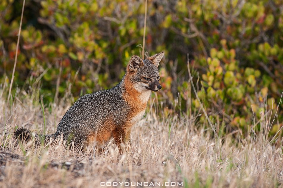
Photo: Island Fox, Santa Cruz Island, Channel Islands national park, California. April 2012
The Island Fox is native to 6 of the 8 California Channel Islands, with each island containing it’s own subspecies of the island fox.
By the year 2000, the fox population on Santa Cruz island had declined to around 135 adults. The other islands suffered and even greater decline in fox population. The reason is somewhat complex but a basic shorthand version is: Historically, Bald Eagles were present on the islands. A DDT spill in the 1950’s caused the Bald Eagle population to decline, eventually disappearing all together. In the absence of Bald Eagles, Golden Eagles took up residence on the islands. Bald Eagles eat fish, Golden Eagles eat small mammals and rodents. Conservation efforts in the 1990’s removed introduced species from the islands, mainly pigs, deer, and elk. Up to this point, pigs had been a main food source of the Golden Eagles. With the pigs gone, the eagles took up predation on the Islands Foxes and the population declined.
In 2004, four of the Island Fox subspecies were classified and protected as an endangered species and about this time a breeding program was initiated. The fox population on Santa Cruz Island is now around 700.
Over the course of the trip I saw five foxes in total. Three on San Miguel island and two on Santa Cruz island. I only wish I had had a bigger lens with me to get some better photos.
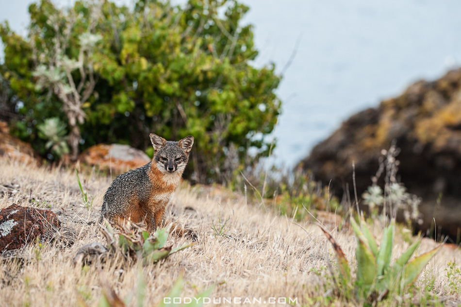
Photo: Island Fox, Santa Cruz Island, Channel Islands national park, California. April 2012
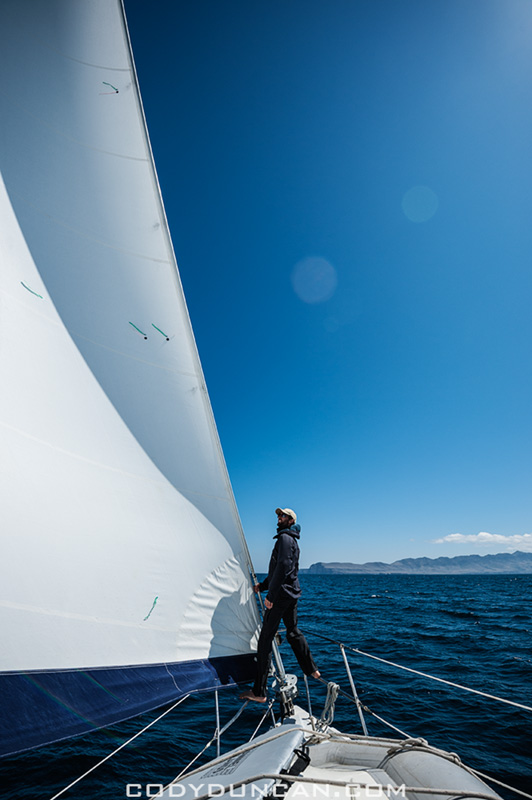
Photo: Sailing towards Santa Cruz Island, Channel Islands national park, California. April 2012
…Continuing from my last post –click here–
After leaving San Miguel Island we arrived at our first nights anchorage on the islands at Becher’s Bay on Santa Rosa Island. The next day we departed in mid morning and sailed towards Santa Cruz Island.
We made a brief stop for some exploration of Painted cave, the worlds largest sea cave. It’s quite eerie once inside and completely dark. I had a large spotlight we me on the dinghy, but in the heavy, misty air inside the cave, it hardly did anything.
The wind had pretty much died here on the north side of the island so we motored our way to the anchorage at Pelican Bay. Here the skies got dark and we were in for a raining night on the boat.
To be continued…
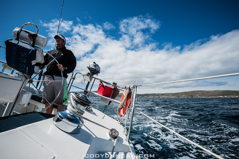
Photo: Leaving Bechers Bay at Santa Rosa Island, Channel Islands national park, California. April 2012
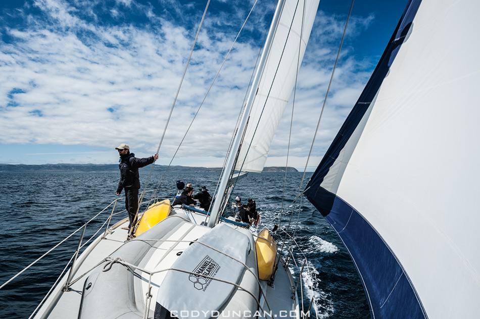
Photo: Sailing between the islands, Channel Islands national park, California. April 2012
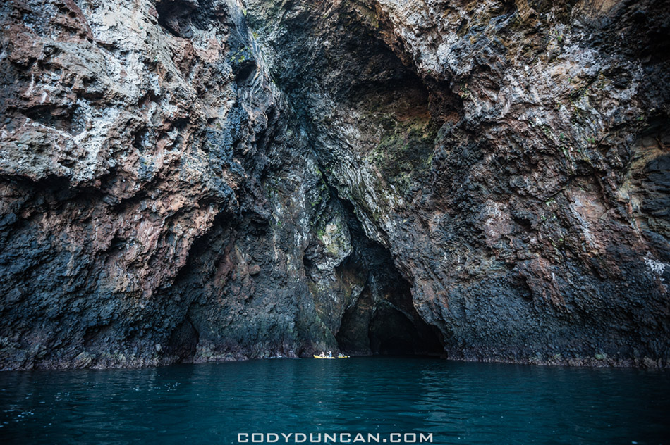
Photo: Kayaks at entrance of Painted Cave, the worlds largest sea cave, Santa Cruz Island, Channel Islands national park, California. April 2012
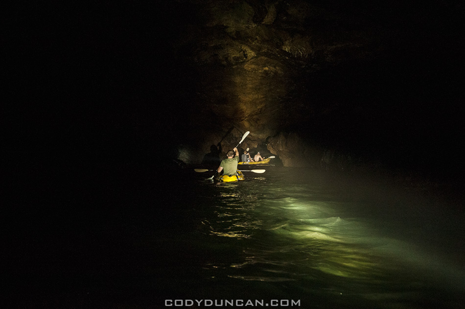
Photo: Darkness inside Painted Cave, Santa Cruz Island, Channel Islands national park, California. April 2012
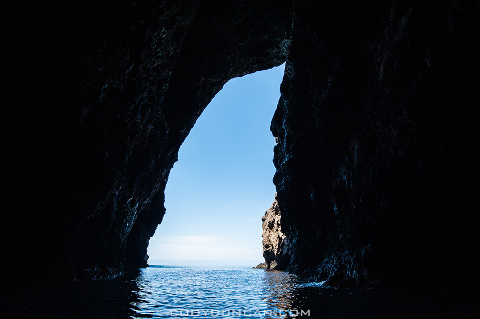
Photo: Looking out of Painted Cave, Santa Cruz Island, Channel Islands national park, California. April 2012
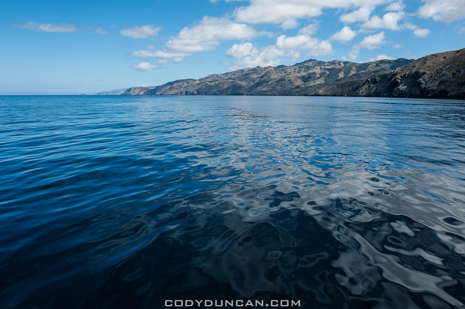
Photo: Calm waters on north side of Santa Cruz Island, Channel Islands national park, California. April 2012
 Photo: Panoramic view of anchorage at Cuyler Harbor, San Miguel Island, Channel Islands National Park, California. April 2012
Last week was a double first for me: my first time on a sailboat and more importantly, my first time on the Channel Islands. Despite looking at the islands nearly every days since I was born, it took me 31 years to finally get out there. They where always some place that I’d wanted to go but plans never really worked out or I’d head up to the mountains instead. Well now at least I can say I’ve had a ‘proper’ islands trip.
We left the Santa Barbara harbor on a Sunday at midnight with the compass set towards San Miguel Island and motored the 40 nautical miles by stars and moon. My buddy Tim and I pulled the 4am to 7am shift. Taking 20 minute turns at the wheel in the damp, cold night air we navigated by stars until Island fog crept in and then we had to use the moon as best we could to keep position. Just before dawn, after a six and a half hour crossing, we pulled into Cuyler Harbor which would be anchorage for the day. The fog cleared just enough for a fantastic sunrise over the Santa Barbara Channel and then I headed back below deck for a little bit more shut eye.
In the late morning we launched the dinghy and headed to shore. We had an appointment to meet the island’s ranger up at the station and then she led our group on a 3 mile hike out to Harris point. On the way we saw an Island fox hunting and catching something at a pretty close distance, most likely a mouse, which is a pretty rare sight. On the way back we also came across two juvenile foxes standing right in the middle of the trail.
We were back aboard the boat by around 5pm and then set sail towards Santa Rosa Island and our nights anchorage at Becher Bay. More on that and the rest of the trip in the next days…
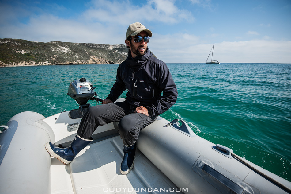
Photo: Heading to shore on the dinghy for a beach landing, Cuyler Harbor, Channel Islands National Park, California. April 2012
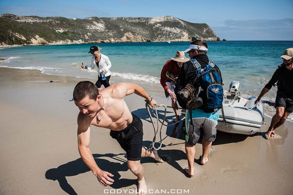
Photo: Landing the dinghy on the beach, Cuyler Harbor, Channel Islands National Park, California. April 2012
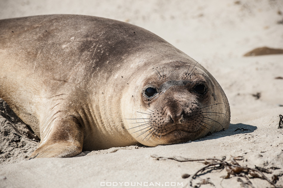
Photo: Northern Elephant Seal pup, Cuyler Harbor, Channel Islands National Park, California. April 2012
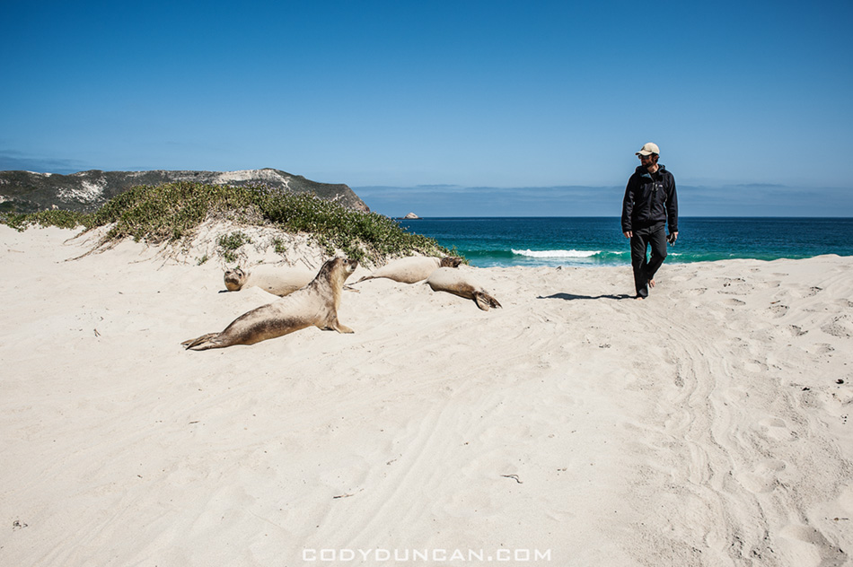
Photo: Passing seals on the beach (they where everywhere!), Cuyler Harbor, Channel Islands National Park, California. April 2012
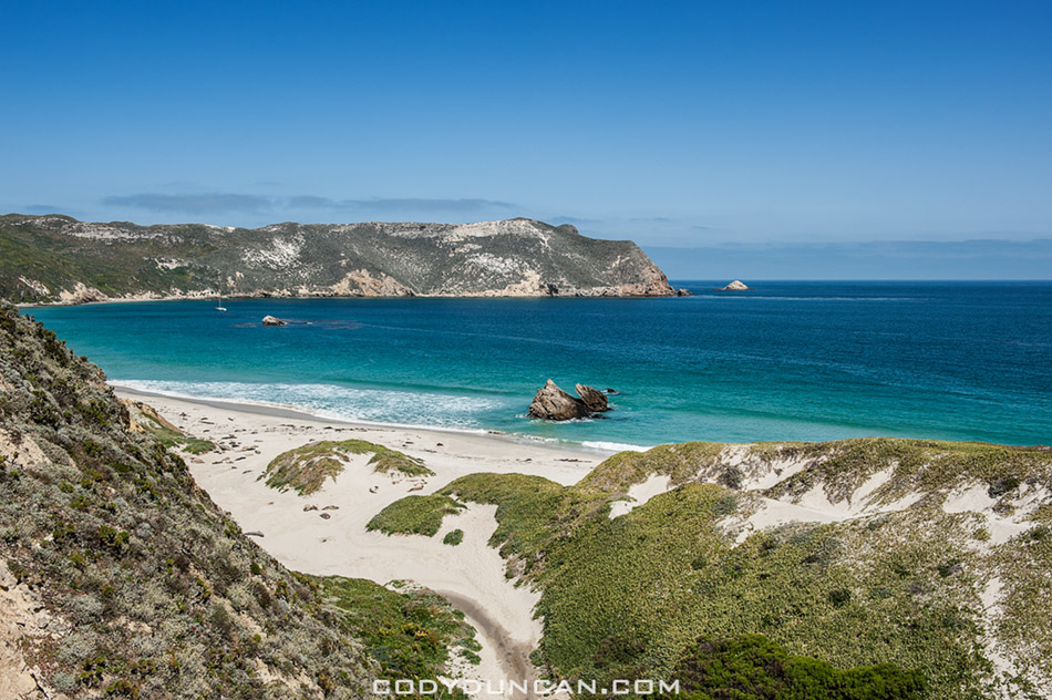
Photo: Looking back towards the beach as the trail begins to climb, Cuyler Harbor, Channel Islands National Park, California. April 2012
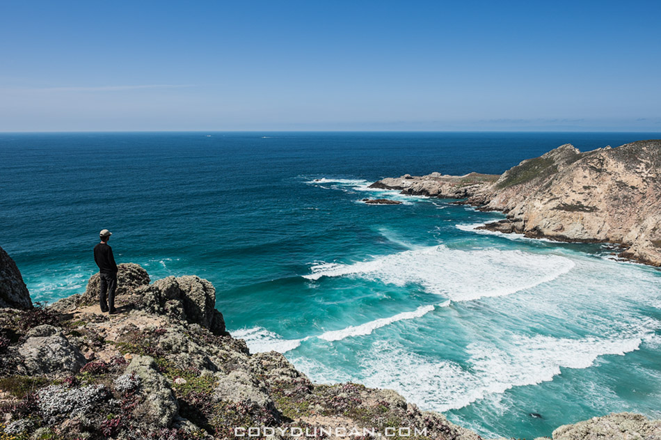
Photo: Scenic view from Harris Point at the end of the hike, Channel Islands National Park, California. April 2012
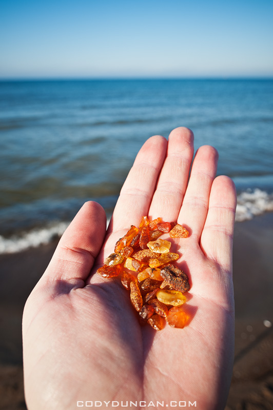
Photo: Amber from the shores of the Baltic Sea, Curonian Spit, Lithuania. Oct 2011
My first visit to the Curonian Spit on the Baltic coast of Lithuania was in February 2007. I had been planning a whole trip up through the Baltics to Finland, but that never happened as I retreated from the cold and headed back to Germany. At the time I didn’t know much about the area but I find heading towards the coast is usually a safe decision when I have no idea what I’m doing or where I’m going. So on a cold, dark, snowy February afternoon I found myself getting off a bus in the port town of Klaipeda.
After a bit of a wander I discovered the city is not the most interesting place in the world but a short ferry ride across the Curonian Lagoon would take me to the Curonian Spit, a thin slice of dunes and forest separating the lagoon from the Baltic sea. I ended up down in Nida, the last town before the border with Russia and had a wander around the frozen lagoon and snow covered dunes, eventually making my way out the the Baltic coast.
I knew there to be amber in the area and so I set about in search of some. Not having much of an idea of where to look or what exactly it looked like, all I knew was it was roughly dark-orange in color, I eventually stumbled upon a stone or two which I thought had the right look. With the hour getting late and not wanting to miss the last bus north I safely secured the stones in my bag and headed back across the dunes to Nida.
Upon my arrival back to Germany a few days later I was informed that all I had was rocks. Though somewhat disappointed, I entered the Curonian Spit into the ‘need to return to’ section of my mind, with the feeling that there’s still some mystery about the place that I’d like to further explore one day. Though perhaps not in winter next time.
So in the Autumn of last year I found myself packed like a sardine on some small mini-bus speeding through the Lithuanian countryside towards Klaipeda with a driver who must of thought he was Michael Schumacher and the old smelly diesel engine just didn’t have quite enough power for his preferred style. After a few near head-ons going around blind corners I figured I was glad I had some emergency contact numbers in my wallet incase I ended up in the hospital, or worse.
With a new bus station, supermarkets and other construction down by the waterfront, Klaipeda is getting some much needed renovations. But for me it is still merely the travel point out to the Spit.
From the harbor leaves a ferry ever 30 mins to 1 hour, depending on the season, for the 2-3 minute crossing. Arriving on the north of the Spit at Smiltyne, there are several busses per day which make the 45km journey south to Nida. Getting up early I had planned on catching the morning bus and spending the day wandering around the dunes again. But unfortunately I received a bit of mis-information and the bus schedules had changed and there was no bus coming until later in the afternoon.
I thought about just heading back to Klaipeda and coming back later but before I could make a decision the ferry was already leaving. So at that I wandered west through the forest and out the the Baltic. On the coast it is basically one long beach, somewhat reminding me of the islands of Juist in Germany where I spent some weeks on in the past. With nothing else to do I just began walking south along the water. The memories of my journey five years before were still in my mind, “Lets see if you can find some amber this time Cody, not just rocks!”
After some 20-30 minutes something shiny caught my eye. Hmmm, looks like it could be amber, but ehh, that’s what I thought last time too. Then a step later I saw another piece, and then another, partially hidden by some seaweed. And then more and more. I’ve actually found it this time, cool!
It took me a little bit to work out where it was, but it floats to the coast in something similar to what would be veins of gold in the ground. There are 5-10 meter sections where there will be a lot and then nothing for another 200-300 meters or more. Because amber is lighter than normal rocks, it often drifted to shore in sections where there was lots of other stuff like old pieces of wood or seaweed from the ocean floor. When wet, the color would immediately catch my eye and in some places a little digging under the sand would turn up more. I’ve usually heard that it gets washed up after storms, but I must have just been luckily. Though there were quite a few other locals out collecting as well, so maybe there was something a few days before that I didn’t know about.
I never did make it down to Nida or the dunes that day, feeling that I’d gotten enough sun for the day; I think I’m the only person in the world who can get a sunburn in Lithuania in October. But that’s really okay with me, more reason to go back again…
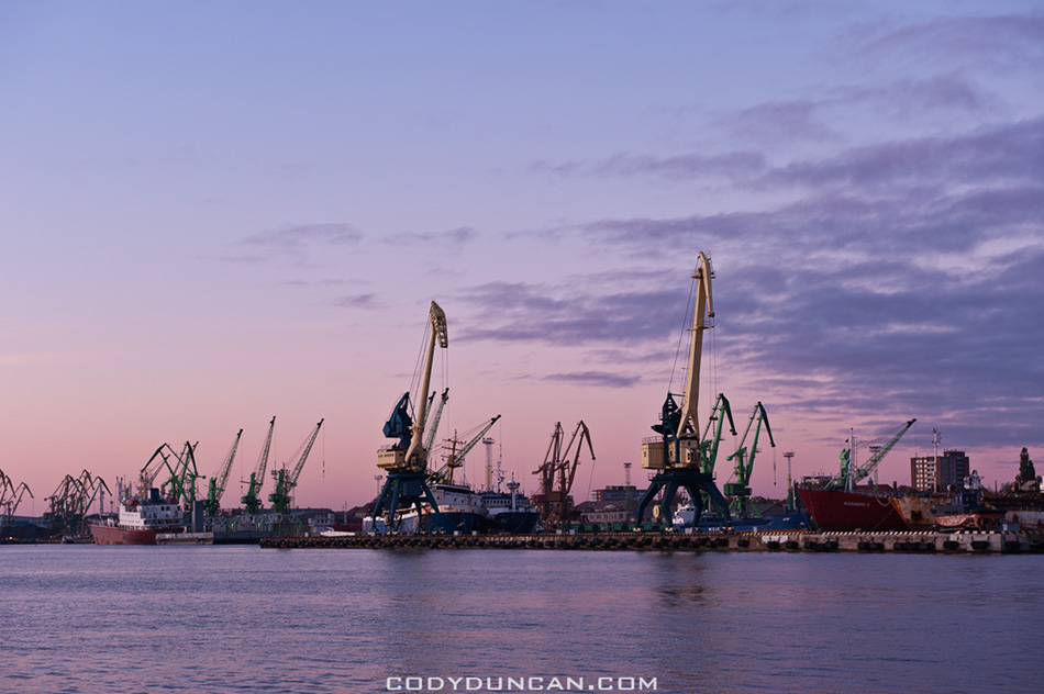
Photo: Klaipeda waterfront at dusk. Oct 2011
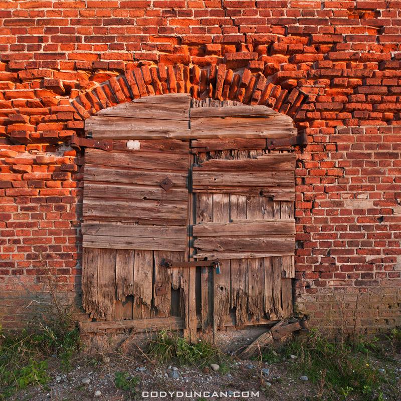
Photo: Old door and wall, Klaipeda, Lithuania. Oct 2011
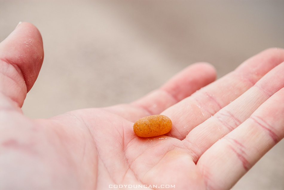
Photo: Amber? Nope, just a rock! Curonian Spit, Lithuania. Feb 2007
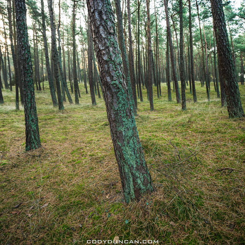
Photo: Coastal forest, Curonian Spit, Lithuania. Oct 2011
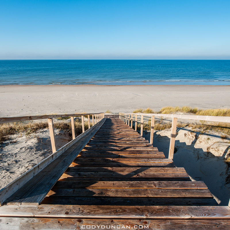
Photo: Steps to the Baltic, Curonian Spit, Lithuania. Oct 2011
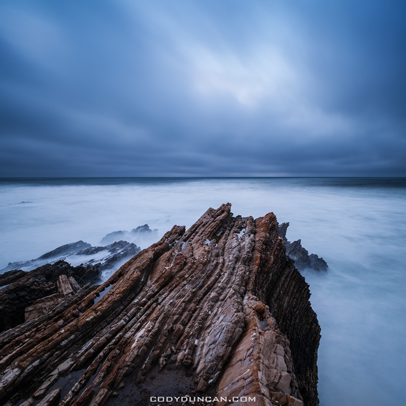
Photo: Rugged coastal landscape of Montana De Oro State Park, California. March 2012
From Thursday to Sunday I was up camping at Montana De Oro State Park. It’s only 2 hours north from me here in Santa Barbara but this is only the second time I’ve been there; the first being only last year and just for a quick stop on the way to somewhere else.
I struggled with the weather on a few days. Often it was a near impossible task to keep my lens dry while standing so close to the sea with heavy waves crashing all around me and I had a few wet feet moments where I pushed things a little too far. By the second evening I almost run out of lens wipes as I hadn’t refreshed my supply yet since getting back from Europe and my February trip to Lofoten had already nearly cleared me out. When photographing on the edge of the sea (and especially with saltwater) the disposable lens tissues are a much better option than using microfiber lens cloths as they tend to build up too much moisture and contamination from the salt and other crap in the water that they become rather infective after only a short while. Dry lens tissues in combination with ones pre-moistened with cleaning solution are the best combination I’ve found for working situations with lots of sea spray.
The central California coast is a bit of a black hole for me that I’ve never spent much time exploring, even famous areas like Big Sur I’ve only ever spent a day or two photographing at. I think it comes from memories as a kid that on the few times we would go up there it seemed like heading to the end of the world. So for some reason in my mind now it feels like the 6 hour drive to Bishop and the Eastern Sierra, where I never went as a kid and have no recollection of the journey, is quicker than heading 2-3 hours up the coast. Or maybe I think it’s too close to home and therefore less interesting than if it would be further away. I don’t know. But there is some absolutely amazing coastline up there and being so close, I hope to make it back on a more regular basis from now on.
The only negatives I feel about camping on the coast is that California State Parks are a complete and total ripoff at $25 (and up to $35) a night for a primitive camp site without even a shower, whereas on the Eastern Sierra I can largely camp for free. When traveling alone, as I largely due, that adds up to a hefty bill quite quickly. It’s actually cheaper to stay in hostels in Europe than to camp in California these days.
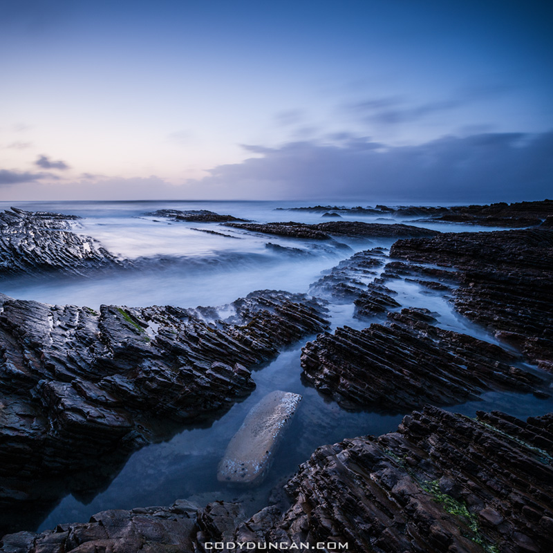
Photo: Coastal landscape of Montana De Oro State Park, California. March 2012
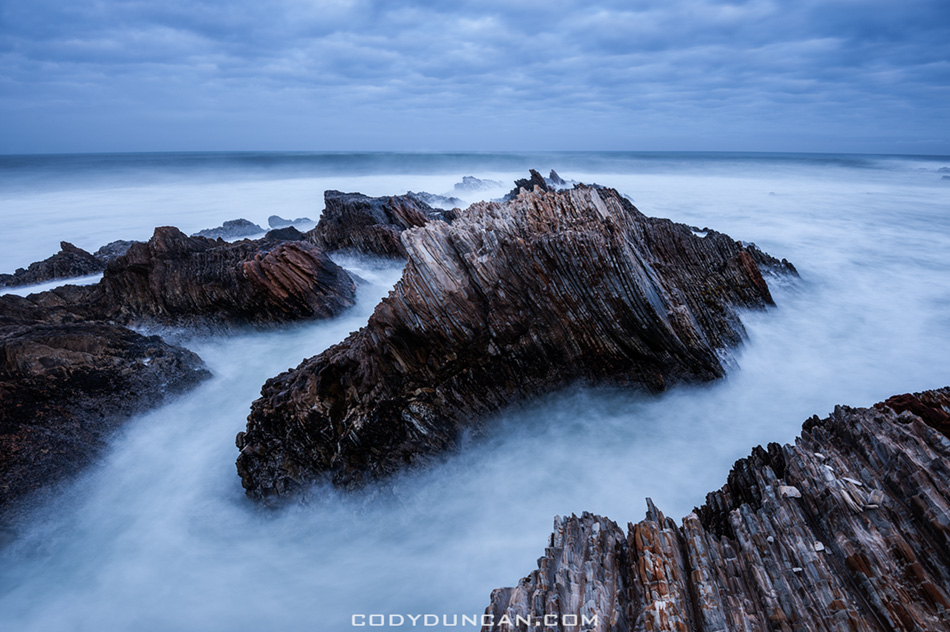
Photo: Rugged coastal landscape of Montana De Oro State Park, California. March 2012
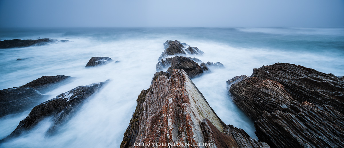 Photo: Panoramic coastal landscape of Montana De Oro State Park, California. Nikon 24mm tilt/shift lens. March 2012
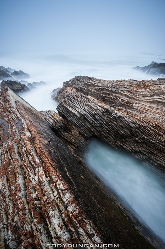
Photo: Rugged coastal landscape of Montana De Oro State Park, California. March 2012
This site uses cookies. By continuing to browse the site, you are agreeing to our use of cookies.
OKLearn moreWe may request cookies to be set on your device. We use cookies to let us know when you visit our websites, how you interact with us, to enrich your user experience, and to customize your relationship with our website.
Click on the different category headings to find out more. You can also change some of your preferences. Note that blocking some types of cookies may impact your experience on our websites and the services we are able to offer.
These cookies are strictly necessary to provide you with services available through our website and to use some of its features.
Because these cookies are strictly necessary to deliver the website, refusing them will have impact how our site functions. You always can block or delete cookies by changing your browser settings and force blocking all cookies on this website. But this will always prompt you to accept/refuse cookies when revisiting our site.
We fully respect if you want to refuse cookies but to avoid asking you again and again kindly allow us to store a cookie for that. You are free to opt out any time or opt in for other cookies to get a better experience. If you refuse cookies we will remove all set cookies in our domain.
We provide you with a list of stored cookies on your computer in our domain so you can check what we stored. Due to security reasons we are not able to show or modify cookies from other domains. You can check these in your browser security settings.
These cookies collect information that is used either in aggregate form to help us understand how our website is being used or how effective our marketing campaigns are, or to help us customize our website and application for you in order to enhance your experience.
If you do not want that we track your visit to our site you can disable tracking in your browser here:
We also use different external services like Google Webfonts, Google Maps, and external Video providers. Since these providers may collect personal data like your IP address we allow you to block them here. Please be aware that this might heavily reduce the functionality and appearance of our site. Changes will take effect once you reload the page.
Google Webfont Settings:
Google Map Settings:
Google reCaptcha Settings:
Vimeo and Youtube video embeds:
The following cookies are also needed - You can choose if you want to allow them:
