Kjerkefjord
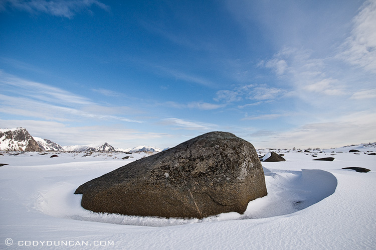
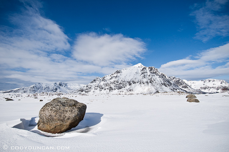
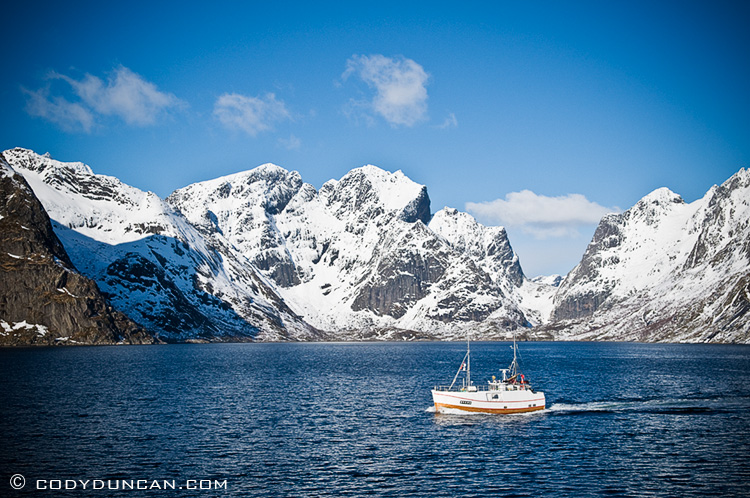
/1 Comment/in Landscape, Lofoten Islands, Mostly Photos, Mountains, Norway, Panoramics, Travel/by CodyNot long after I took this photo of the Kjerkefjord 3 days of storm enveloped the islands. Deceptively peaceful looking here.
Rocks
/0 Comments/in Landscape, Lofoten Islands, Mostly Photos, Norway, Travel/by CodyLofoten Islands – Stockfish
/3 Comments/in Lofoten Islands, Mostly Photos, Norway, Travel/by Cody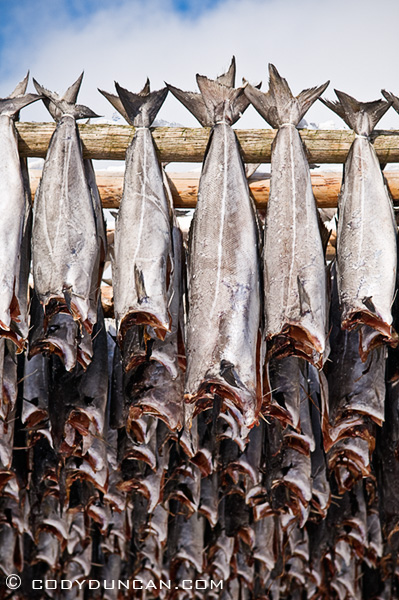
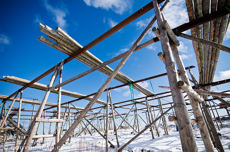
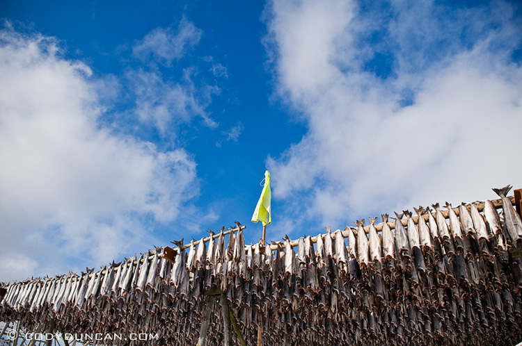
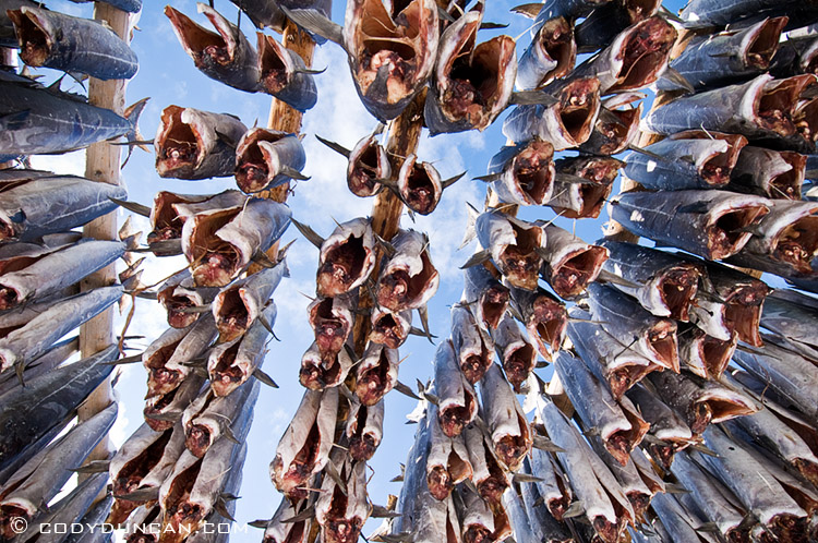
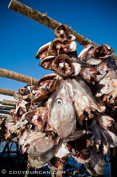
I think I’ve said it before, that the economy of the Lofoten islands runs off basically two things: German tourists in the summer and cod stockfish in the winter. During the winter months, Atlantic Cod migrate into the waters of the Vestfjord for spawning, where they have been met by Norwegian fishermen since the days of the Vikings. One would think that north of the arctic circle would not be the most hospitable place to be during this time of year, but the gulf stream keeps the Lofoten islands relatively mild temperature wise. Though an arctic gale is nothing to laugh at, having heard stories of winds so fierce that they have literally moved houses.
CLose
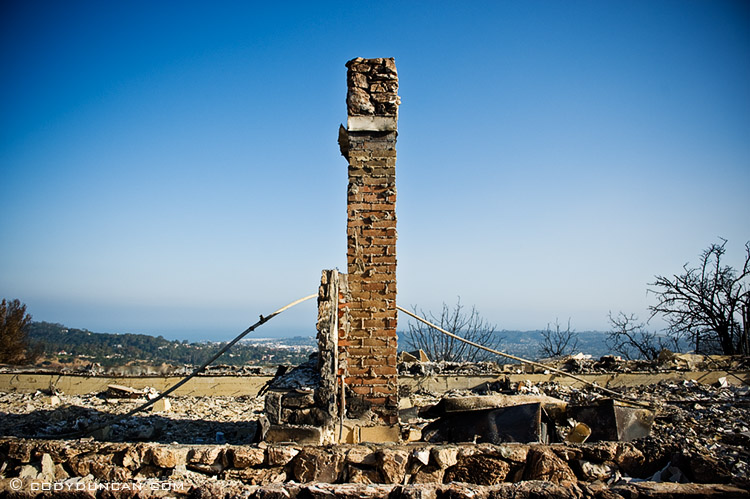
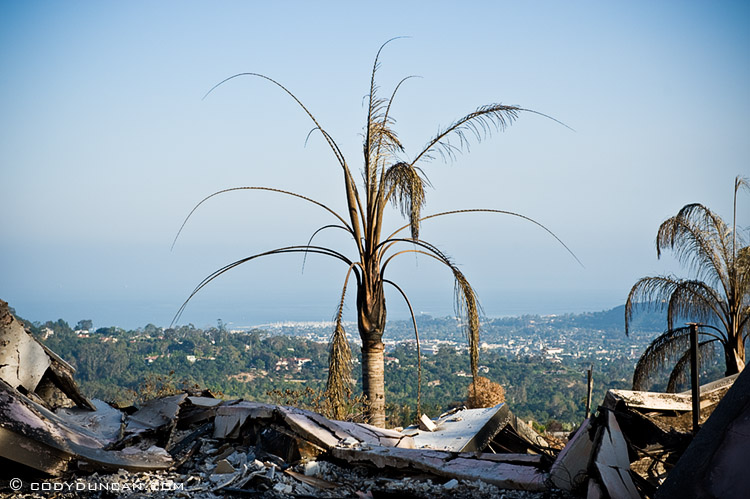
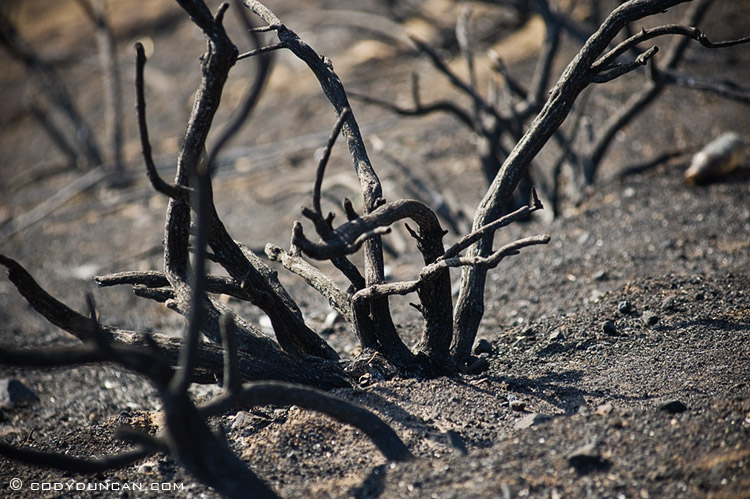
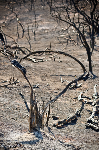
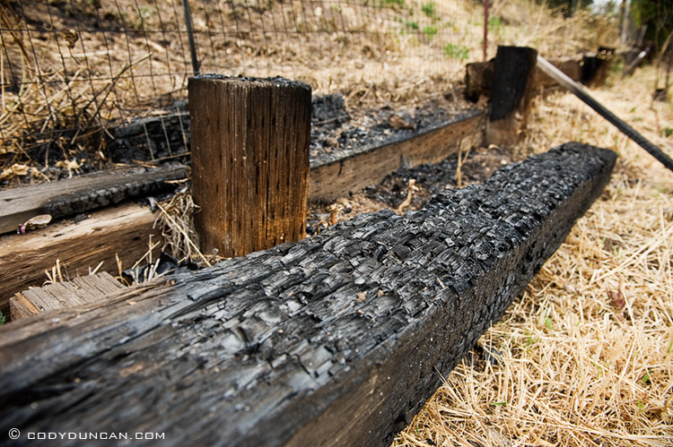
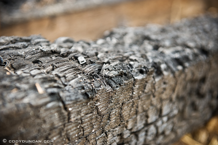
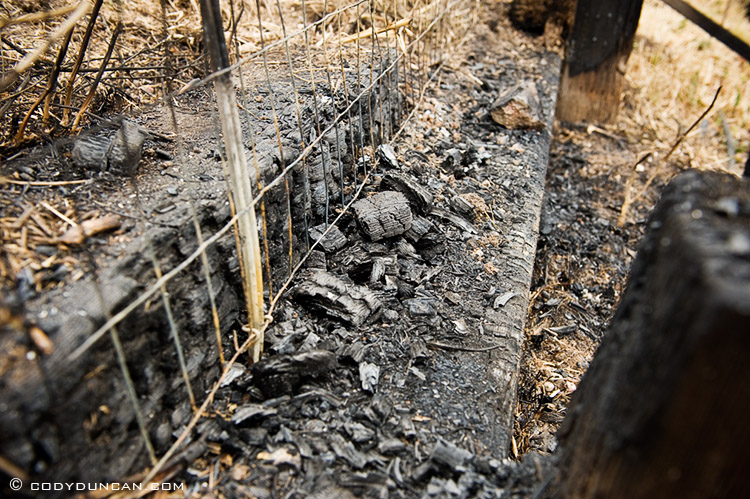
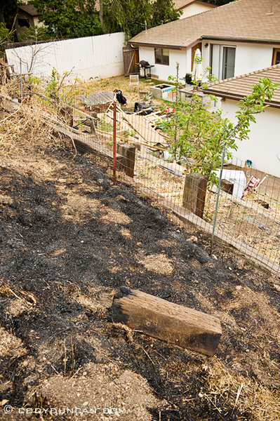
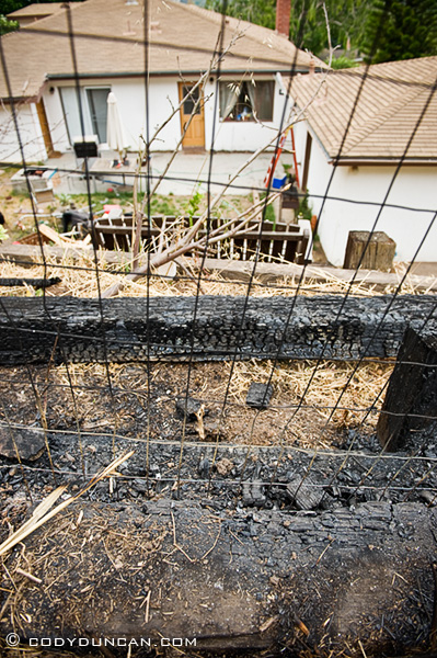
/0 Comments/in California, Mostly Photos, Santa Barbara/by CodyWe were allowed back onto my brother’s street this morning (Sunday). The fire burned to my brother’s fence in the back yard, which backs up to a mostly wild and grassy hillside that rises above. It looks like it was more of a small ‘spot fire’ caused by flying embers, while the ‘main’ front of the fire was stopped about 50-100 feet above at a small road. Definitely too close for comfort.
Jesusita fire: Thursday Night
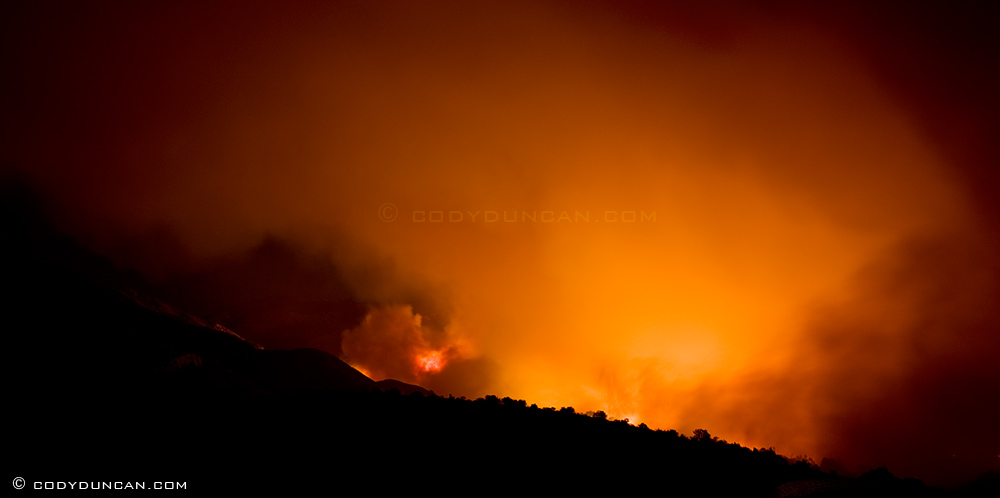
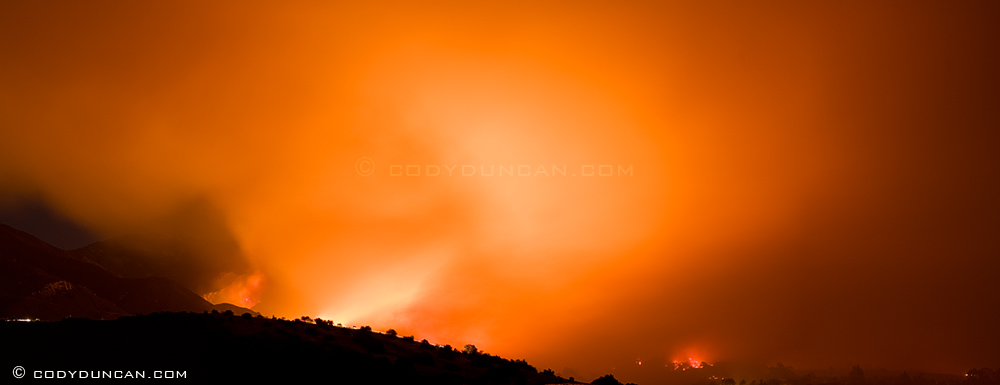
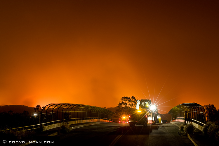
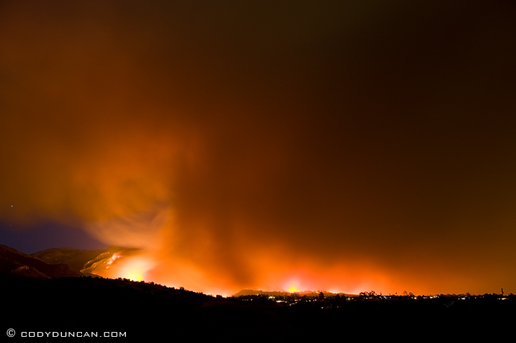
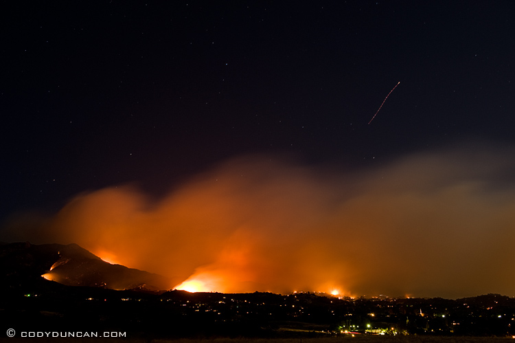
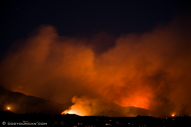
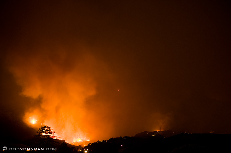
/4 Comments/in California, Mostly Photos, Santa Barbara/by CodyIf Wednesday night was bad, tonight is a thousand times worse. As I type this just after midnight ash is raining all across the city as if a volcano had exploded. The foothills above town are completely ablaze with flames going nearly all the way to the mountain ridge at the top. The temperature is still 80˚ (26 c) and winds gusts up to 40mph. Huge sections of the city are now under evacuation and the fire is moving so fast. I crossed highway 154 just prior to its closing, and an hour later, the fire had already crossed it to the west and towards Goleta. Homes are burning. Simply awful out there; devastating.
Jesusita Fire pics: Wednesday afternoon
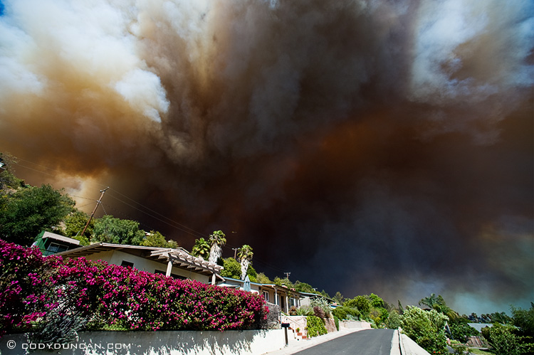
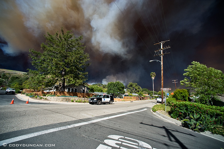
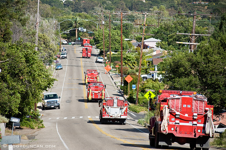
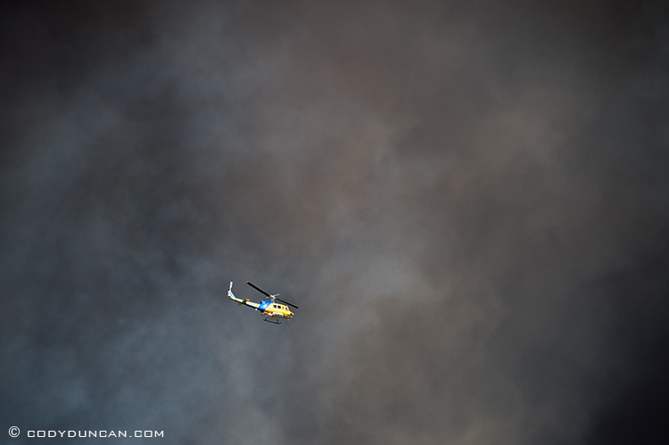
/2 Comments/in California, Mostly Photos, Random stuff, Santa Barbara/by CodyHere’s a few more pics of the Jesusita fire from Wednesday afternoon while still at my brother’s house. We had been evacauated on Tuesday afternoon, but managed to get back in on Wednesday to try and keep an eye on things. By late afternoon, the fire was getting perilously close and most of the neighborhood had cleared out. From or estimates looking at aerial photos and from driving around today, we estimate the fire got within about 200 meters. The only traffic was from fire crews driving down Foothill road and police driving through the neighborhoods telling people to leave immediately. The Mandatory evacuation zone had been moved down to State street, so we were well behind the lines. The Temperature was somewhere near 100 degrees (37 C), as the “sundowner winds” were constantly changing directions, but mostly keeping the smoke just to the east of our location. At times the sky was as black as night.
First few photos are with a 14mm lens. It was that close…
First pic: Looking east.
Corner of Foothill and Calle Laureles, looking towards Mission Canyon
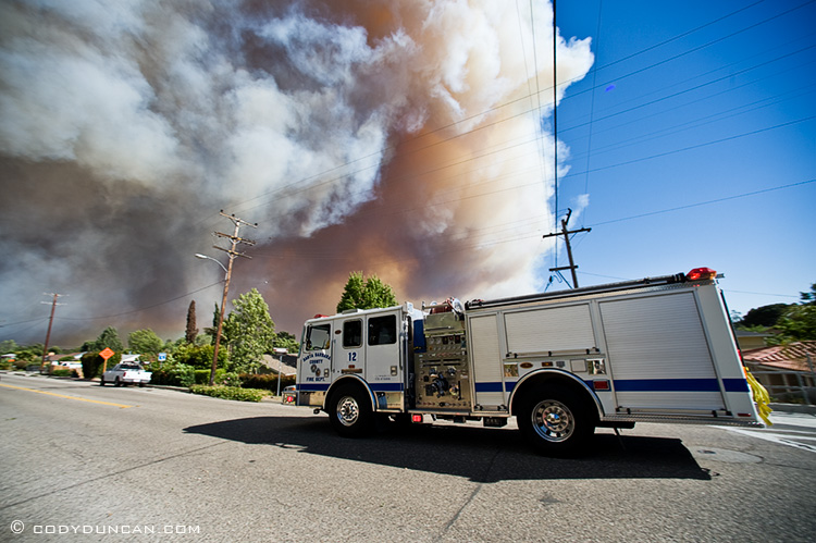
Fire crews driving east along Foothill towards Mission Canyon
Schwarzenegger comes to Santa Barbara
/0 Comments/in California, Mostly Photos, Random stuff, Santa Barbara/by CodyCalifornia governor Arnold Schwarzenegger (I think everyone knows who he is) came to Santa Barbara this morning to give a press conference in regards to the Jesusita fire, which he declared a “state of emergency” on Wednesday evening. The press conference was held at Earl Warren showgrounds, which is currently one of the main staging areas for firefighters who have come to the area to assist is the effort.



Nightmare
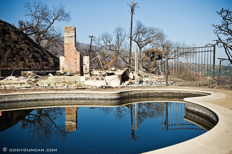
/1 Comment/in California, Mostly Photos, Santa Barbara/by CodyFor some perspective, the mountains on the left of the 1st photo are about 4000 ft. high. It is absolutely devastating out there right now.
New on the Blog
- New eBook | Lofoten Islands – Northern Light December 8, 2022
- Padjelantaleden eBook update December 5, 2022
- Ebook update – West Lofoten Hikes 4th Edition May 21, 2022


