Lofoten Coast
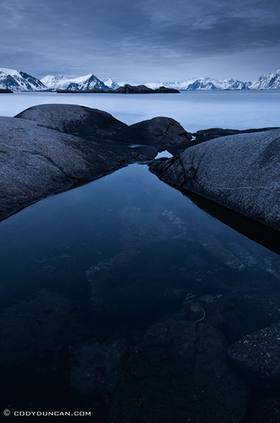
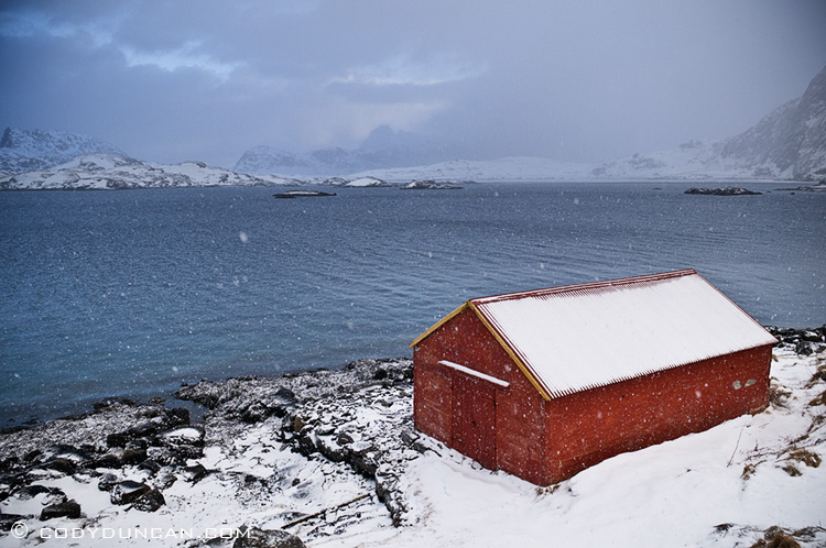
Coastline near Stamsund, Vestvågøy on a rather cold and dreary evening. Lofoten islands, Norway

Coastline near Stamsund, Vestvågøy on a rather cold and dreary evening. Lofoten islands, Norway
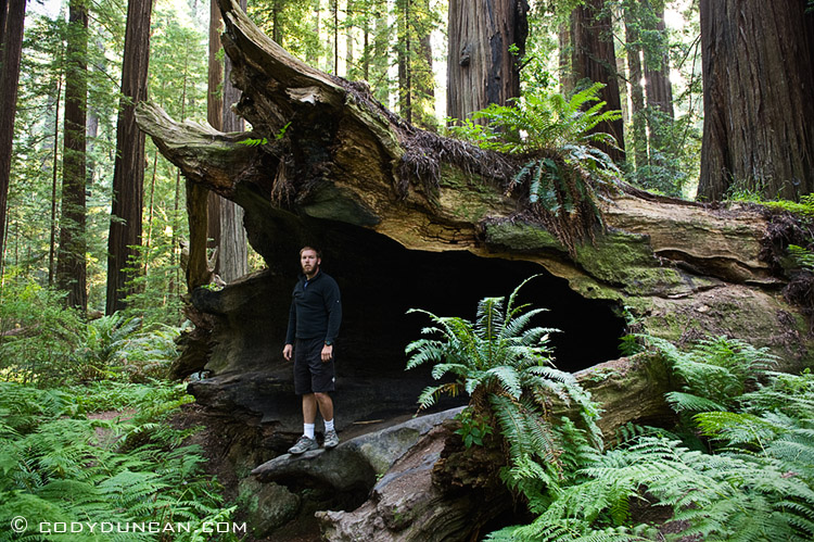
For perspective, I’m 1.83m (6 ft) tall. Redwoods are some big trees. Bad self portrait, I know…
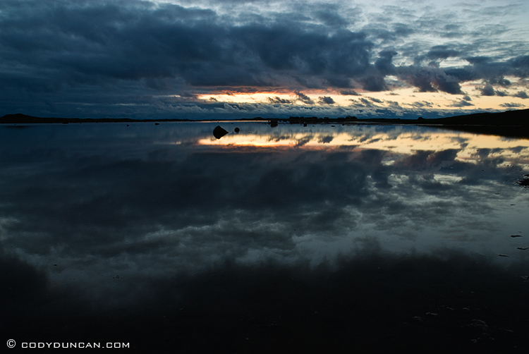
Three years ago out on the coast near Kvalnes. Unsuccessfully hunting the midnight sun with a German and two Norwegian’s. We were a day or two too late in reality, had there been no clouds. The cool thing about this time of year in the north: you can shoot sunset, sunrise, and then go to sleep for the night and not have to worry about setting your alarm.
View from the top of Stamsundheia above Stamsund, Vestvågøya towards the village of Henningsvær and mountains of Austvågøya. The mountain peak in the center of the photo is about 16km away. The second set of mountains behind that are about 35km away. The Furthest distant peaks are the Norwegain mainland (Hamarøy I think) about 65km away, sperated by the mighty Vestfjord.
The night arrives slowly this far north due to the low angle of the sun. In the weeks prior the the nearly 2 month long “day” of the summer months, night never really properly arrives, just a few hours of twilight. Though here in March the night eventually comes, delayed enough that one has enough time to walk off a mountain after sunset with relative good visibility.
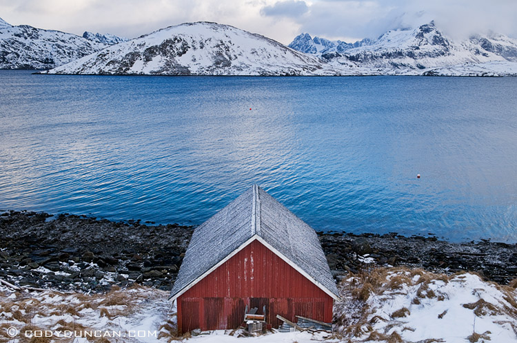
Boat sheds on the Moskenesøya side of Selfjorden, the far shore being Flakstadøya.
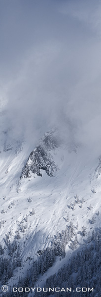
Only 15 minutes between these photos. I had been haunted by this storm for hours as I watched it slowly approach. At times it would be held up by the 1000 meter high mountain peaks rising from the sea and I would escape its arrival for a precious few minutes, but once I gained exposure to the north it hit with a fury of snow and wind. A bitter cold straight from the arctic winter, chilling me to the bone. It was a wild ride that night, alone in my tent halfway up some mountain pass.
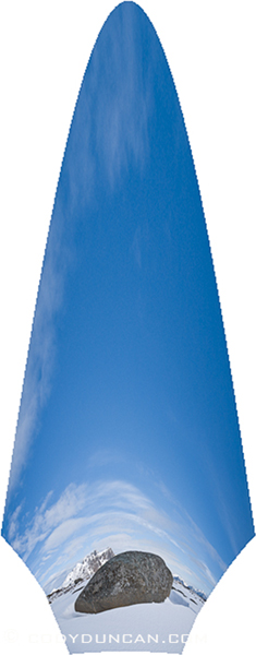
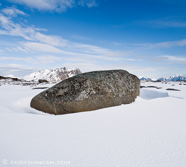
I make most my panoramic photos using photomerge in Photoshop. Normally it works super good without any problems but sometimes I just have to sit there and scratch my head with what it outputs. This first photo for example: 3 vertical images with a Nikon 85mm tilt-shift lens. In other words, it should go together absolutely perfectly, without any distortion or misalignment anywhere. What happened in photomerge? A great mystery of life. All I can think of is that the clouds may have given it some problems. I just had to use the old fashioned way and combine it by hand. No problem.

Interesting results on this second photo as well. And again, it was simple enough to align and blend by hand for a perfect result.
Further down highway 1 from the Redwood national park area, yet still a few hours north of San Francisco, is Salt Point state park. The waves here crash against rocky beaches and cliffs, rising into coastal bluffs and forests.
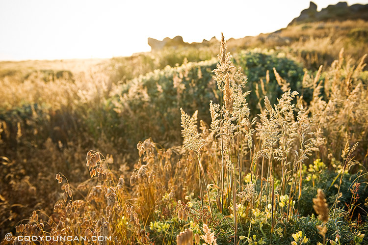
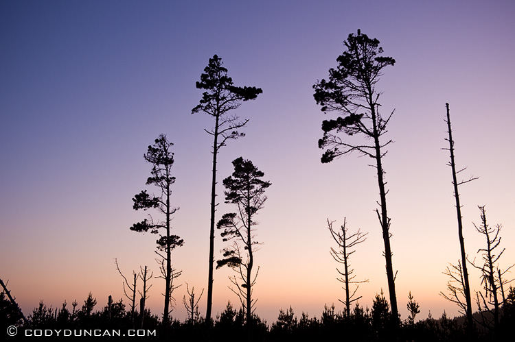
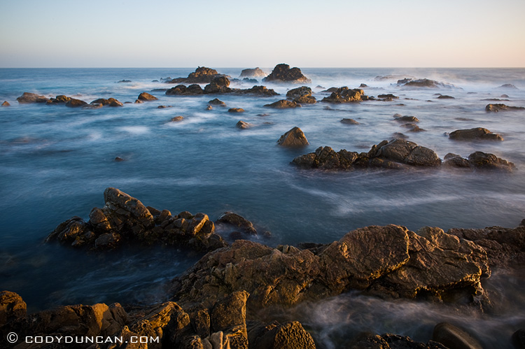
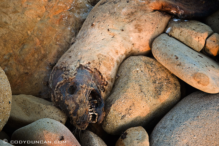
In the rugged beauty of places like this, one is often reminded in the frailty of the life that lives there. While the never ending crashing of waves may look good for my photo’s, they can be deadly obstacle for a young seal pup. I counted 4 of the little guys along the short stretch of coast I walked along at days end. The wind was blowing so fiercely that I would only pickup the smell when walking immediately down wind. A quick search among the boulders and the source would be found.
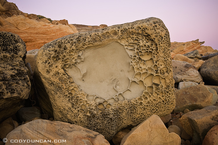
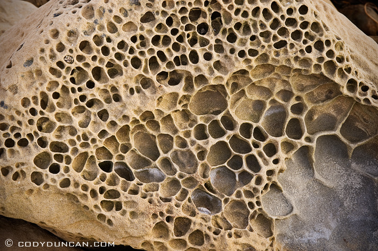
Cool looking erosion in the sandstone rocks, called Tafoni.
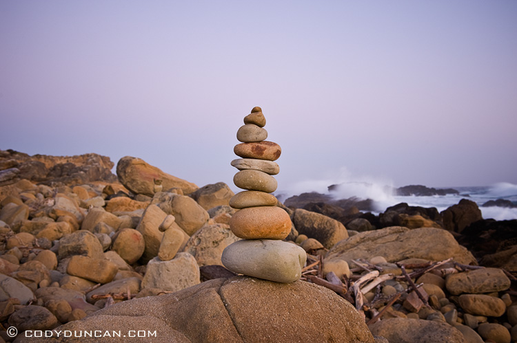
After a night in the Mt. Shasta Area I headed west, through the winding mountain roads of the Trinity Alps and out towards the coast north of Eureka, almost to the Oregon border. This area is the home to Redwood national park and numerous smaller state parks. My favorite being Prairie Creek Redwoods state park, a mixture of thick redwood forests and beautiful beaches. This area is so from my home in southern California (it is a shorter drive from Seattle, Washington than from Santa Barbara) that I only first came through here a couple years ago in the summer and then again in the autumn of 2007.
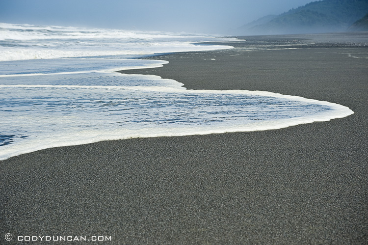
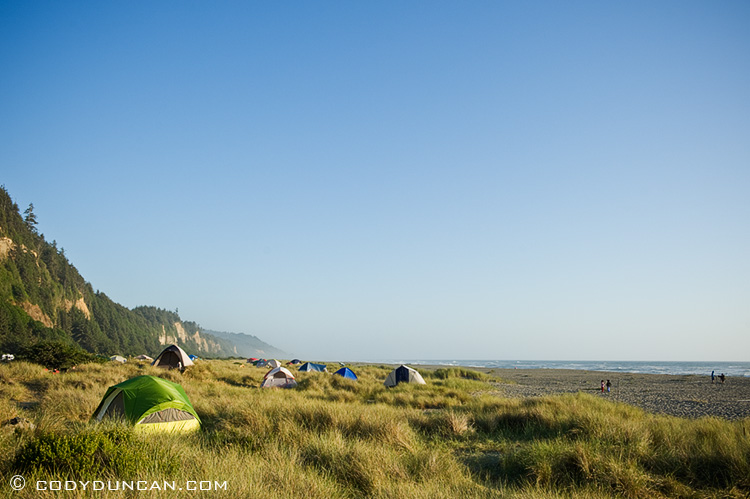
There is this super cool campground at Gold Bluffs beach, set amongst coastal dunes with the endless crashing waves of the Northern Pacific ocean just a couple hundred feet away.
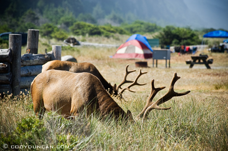
Roosevelt Elk lazily wander and graze throughout the tents and campsites. I would have liked to get a photo of them walking along the beach, but I never saw them there this time. More reason to go back again.
[…click ‘read more’ to keep reading…]
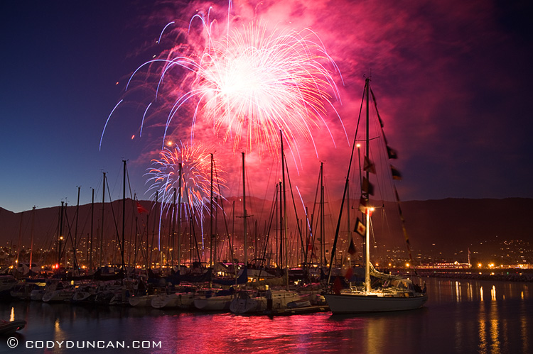
4th of July fireworks over Santa Barbara Harbor.
This site uses cookies. By continuing to browse the site, you are agreeing to our use of cookies.
OKLearn moreWe may request cookies to be set on your device. We use cookies to let us know when you visit our websites, how you interact with us, to enrich your user experience, and to customize your relationship with our website.
Click on the different category headings to find out more. You can also change some of your preferences. Note that blocking some types of cookies may impact your experience on our websites and the services we are able to offer.
These cookies are strictly necessary to provide you with services available through our website and to use some of its features.
Because these cookies are strictly necessary to deliver the website, refusing them will have impact how our site functions. You always can block or delete cookies by changing your browser settings and force blocking all cookies on this website. But this will always prompt you to accept/refuse cookies when revisiting our site.
We fully respect if you want to refuse cookies but to avoid asking you again and again kindly allow us to store a cookie for that. You are free to opt out any time or opt in for other cookies to get a better experience. If you refuse cookies we will remove all set cookies in our domain.
We provide you with a list of stored cookies on your computer in our domain so you can check what we stored. Due to security reasons we are not able to show or modify cookies from other domains. You can check these in your browser security settings.
These cookies collect information that is used either in aggregate form to help us understand how our website is being used or how effective our marketing campaigns are, or to help us customize our website and application for you in order to enhance your experience.
If you do not want that we track your visit to our site you can disable tracking in your browser here:
We also use different external services like Google Webfonts, Google Maps, and external Video providers. Since these providers may collect personal data like your IP address we allow you to block them here. Please be aware that this might heavily reduce the functionality and appearance of our site. Changes will take effect once you reload the page.
Google Webfont Settings:
Google Map Settings:
Google reCaptcha Settings:
Vimeo and Youtube video embeds:
The following cookies are also needed - You can choose if you want to allow them:
