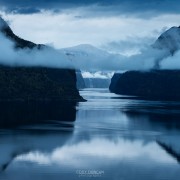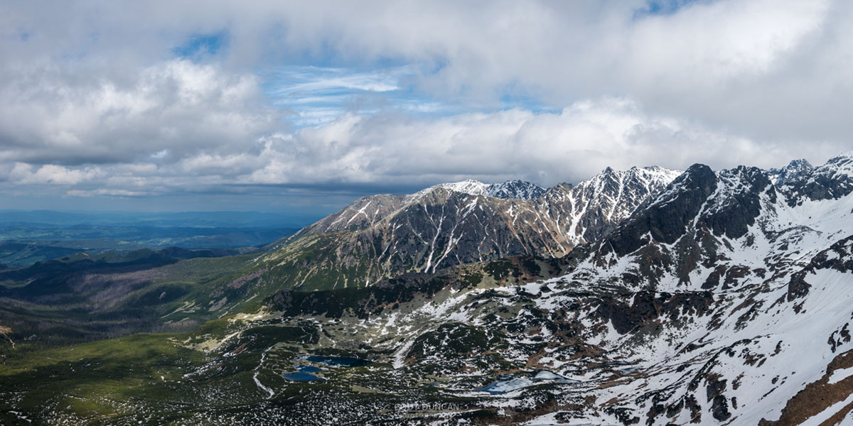
Reka – Vesterålen
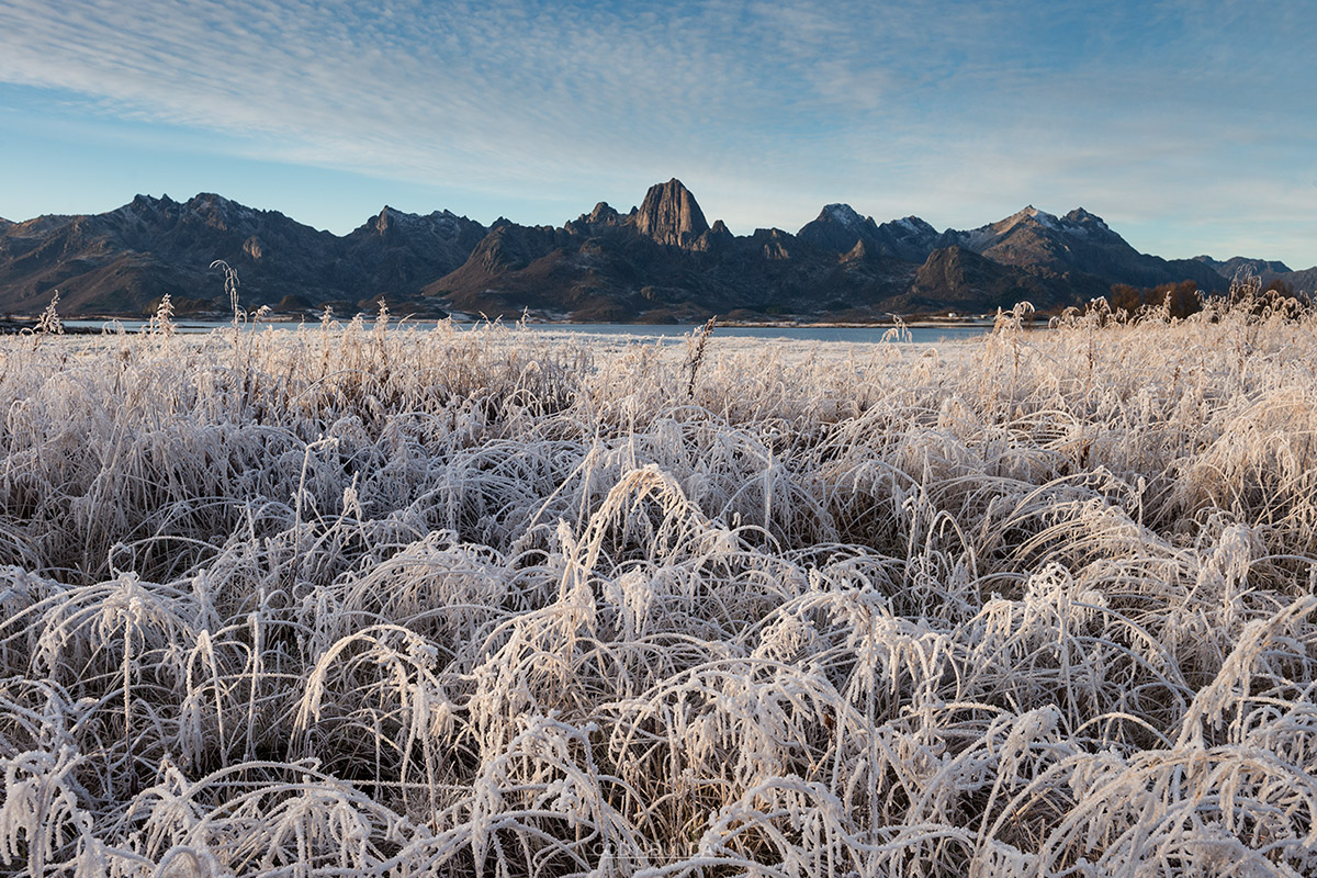
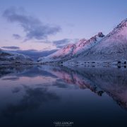
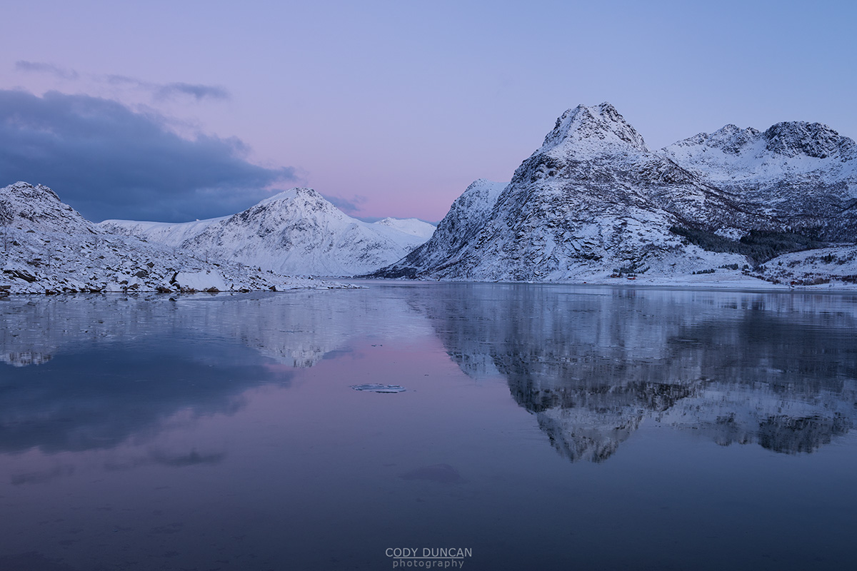
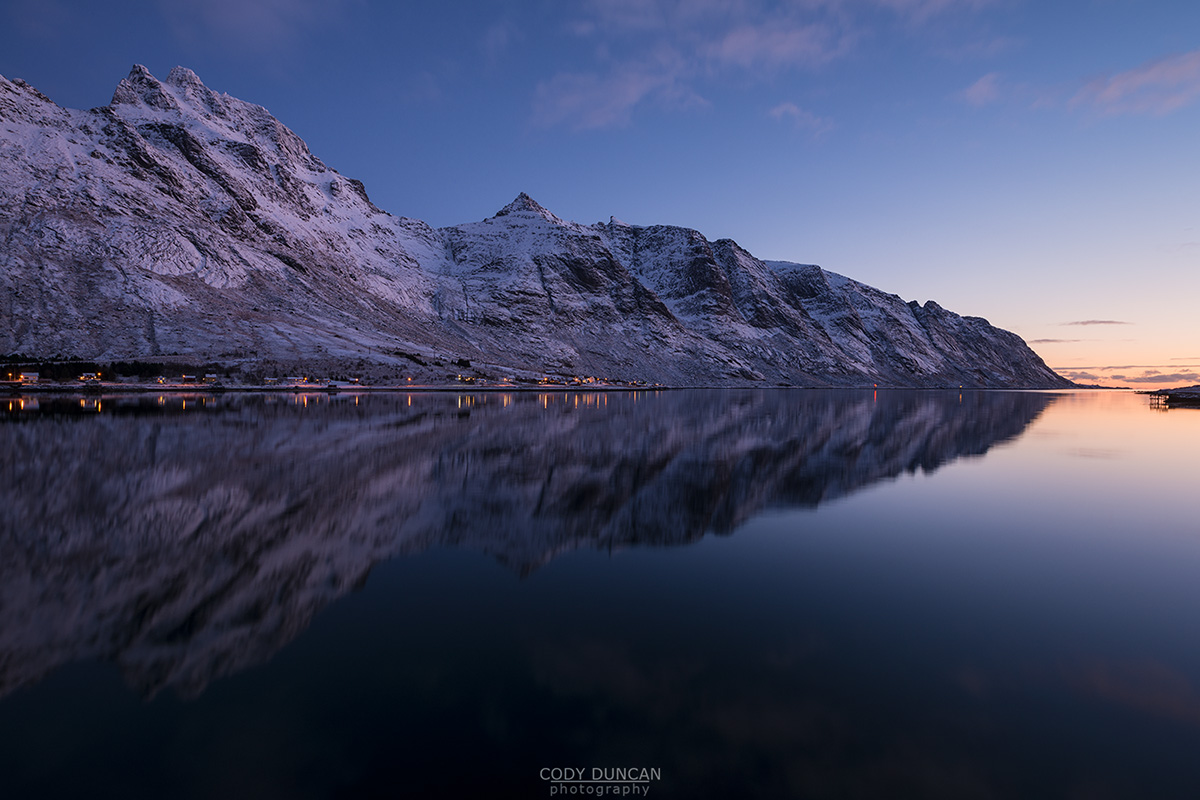
Photo: Reka rising over the frozen landscape, Vesterålen, Norway. November 2016
An October visit by a friend from the south had introduced the name ‘Reka’ to our minds. Originally calling the mountain ‘Shrimp,’ the Norwegian translation from Reke, we later learned that the name comes from an older Sami word for shove – likely due to the shape of the mountainl. Anyhow, the idea was in our minds, now to wait for the weather.
In early November came a good weather window. And after going to a showing of the Reel Rock film tour in Svolvær on Monday night, we departed early Tuesday for Vesterålen.
Arriving around noon, the clear weather had brought arctic temperatures, much colder than we had on Lofoten! I found a place to park by the cemetery and then we began our hike into the frozen landscape. We only had rough directions, and the cold made these difficult to follow. At first we tried to go the direct route, across some tidal rocks at the end of a fjord, but the water was too high and the rocks too icy, so we needed another 45 minutes to make a detour around the end of the fjord, before picking up the trail again.
We had been hoping to make make camp just below the ridge, and the start of the proper climbing. But after several hours of hiking, and with the growing darkness, we arrived at a frozen bogland, with a small flowing stream, that we both thought would make a good base camp. We just needed to get up an hour earlier for the hike up to the ridge.
The world around us was cold and frozen, the low November sun no longer shining upon it. Luckily though, the frozen land let us find a nice flat spot for the tent, which in summer would otherwise be the middle of a horrendous bog.
Surrounded by fallen birch trees, we did our best to make a fire. But after some effort and multiple attempts, which even involved using my stove, we gave up. It was too cold and all the wood was covered in rime ice. But at least the effort of trying to make a fire kept us warm for a little while longer.
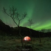
Later, the northern light arrived over camp, and I had to go out for at least a few photos.
The night was cold, Bitterly so. This was the first real night of winter for us. It didn’t help that my sleeping pad has developed a bit of a leak, and required multiple inflatings during the night; when I can feel the shivering cold soaking through my bones from the ground. I didn’t sleep much.
Ylva wakes up early as always, to cook a proper breakfast and have a hot cup of tea. I try and sleep longer, content with some frozen cheese and salami. By 07:00 we were out of the tent and ascending into the frozen landscape. We had no greater plans other than to see what we would find. The cold had taken the energy from both of us this night.
Arriving at the ridge, the sun brought warmth to our bodies. It was then that Ylva discovered that she had forgotten her climbing shoes in the tent! Anyhow, the day was still young and so we harnessed up.
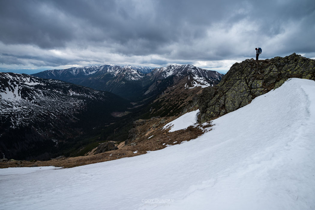
I lead the first, easy pitch. No gear was really needed, but I put in a few pieces for peace of mind. Ylva arrived and then took the lead for pitch 2. Soon I followed and attempted pitch 3, but with our little info for the route, I wasn’t sure I was going the right way, as it seemed a bit too hard – and I couldn’t see any bolts, which should have been there. So I turned back. Ylva made an attempt in her mountain boots. But it was too hard and feeling too insecure. By now it was after 13:00 in the afternoon, and the shadows were growing long. So just a short way from the summit, we decided to turn around, and hopefully return another day.
The world was growing dark by the time we reached our base camp and packed up. Making quick progress, we descended the mountain as quickly as possible, but it still took us another 2+ hours, half of which by headlamp though the frozen landscape which sparkled like a disco light, until we reached my van again. Exhausted and cold.
We headed down to Sortland to try and find some food, ending up at some not very good pizza place, before continuing further home to Lofoten until I was too tired to drive anymore, and we found a place to camp for the night somewhere near Raftsundet.
Despite not making the summit, it was a fun adventure! And I look forward to going back in the longer days of summer to make another attempt…
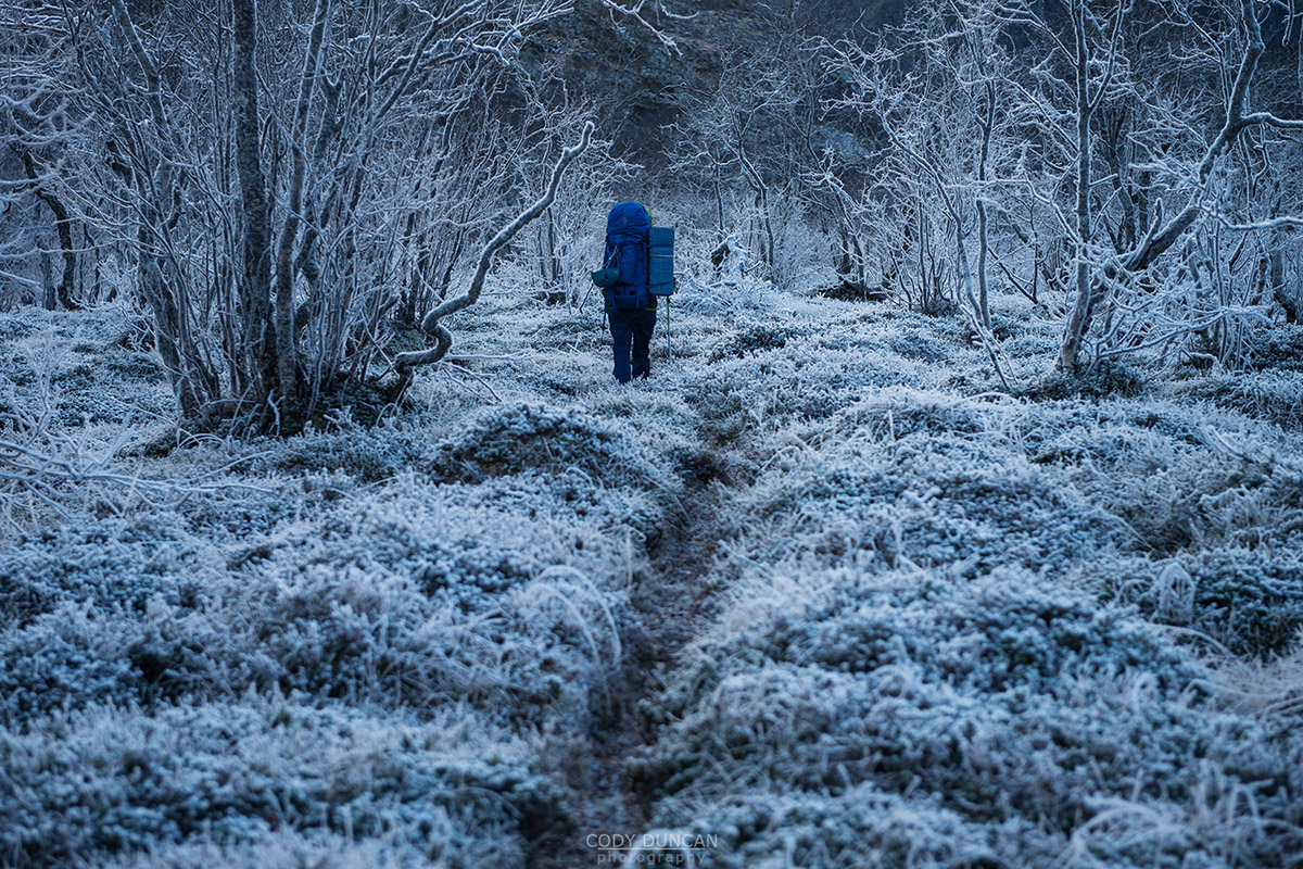
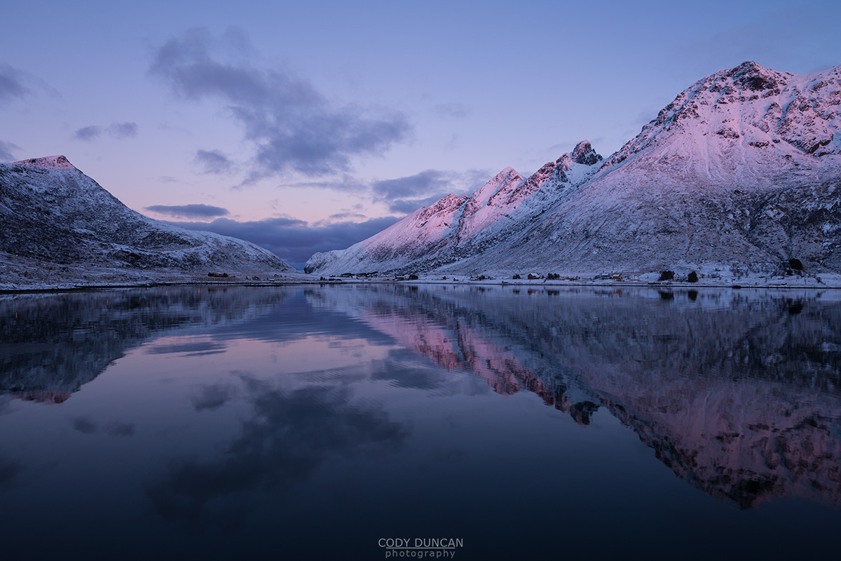
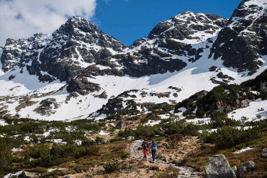
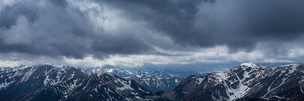
Photo: Hiking into the frozen landscape towards Reka, Vesterålen, Norway. November 2016
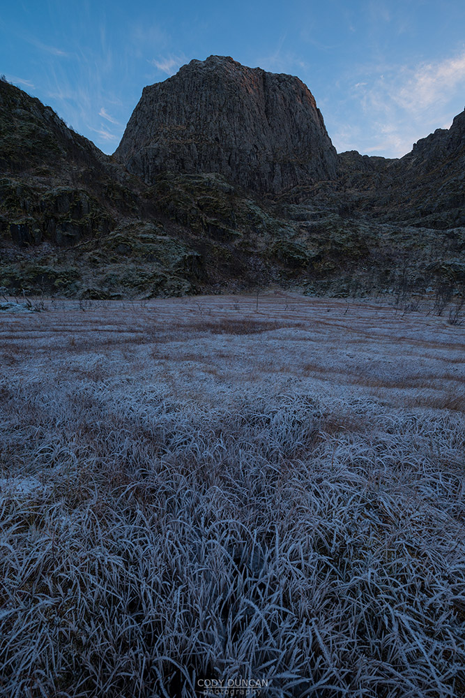
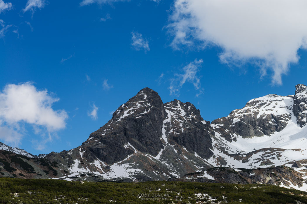
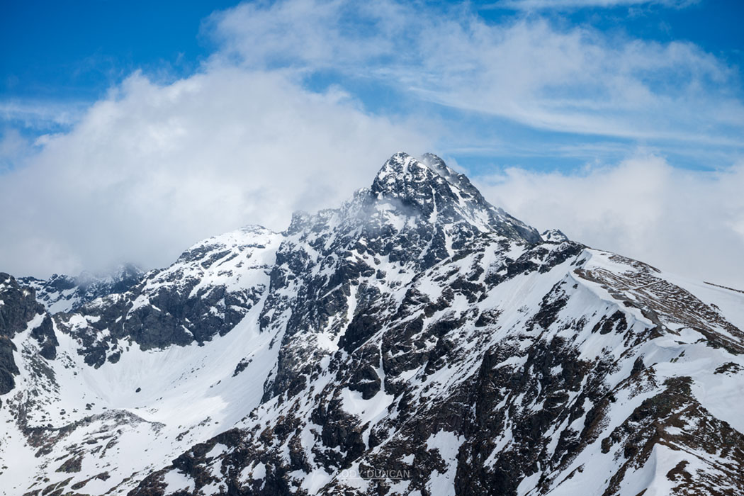
Photo: Reka rises over our base camp, Vesterålen, Norway. November 2016
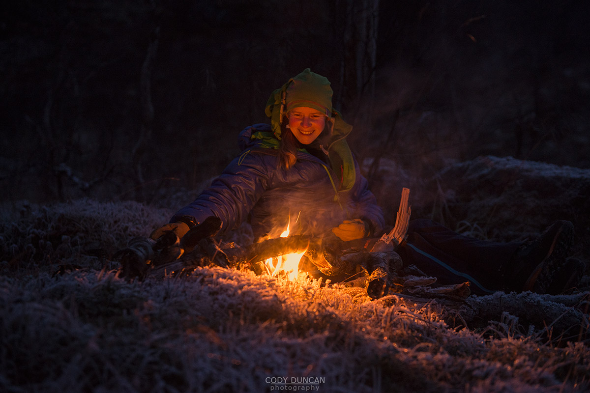
Photo: Attempt at an evening campfire in the frozen land, Vesterålen, Norway. November 2016
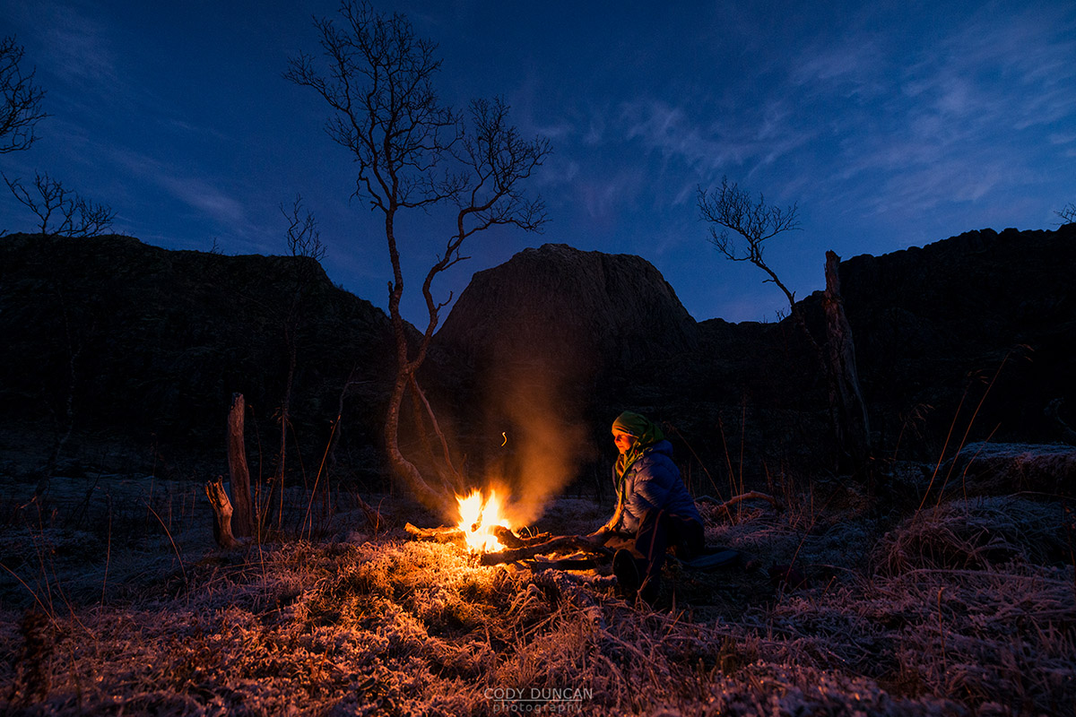
Photo: Attempt at an evening campfire in the frozen land, Vesterålen, Norway. November 2016
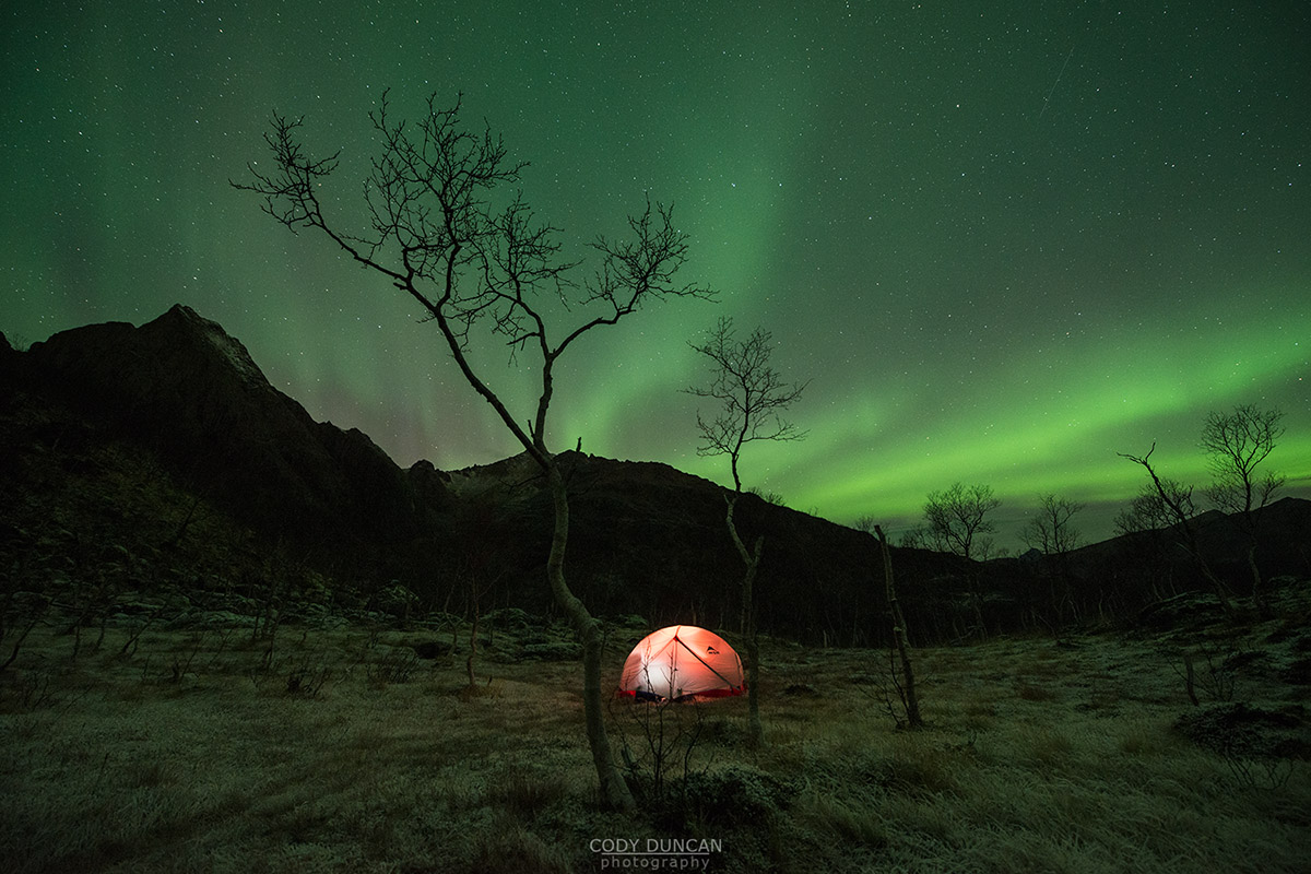
Photo: Northern lights shine over camp below Reka, Vesterålen, Norway. November 2016
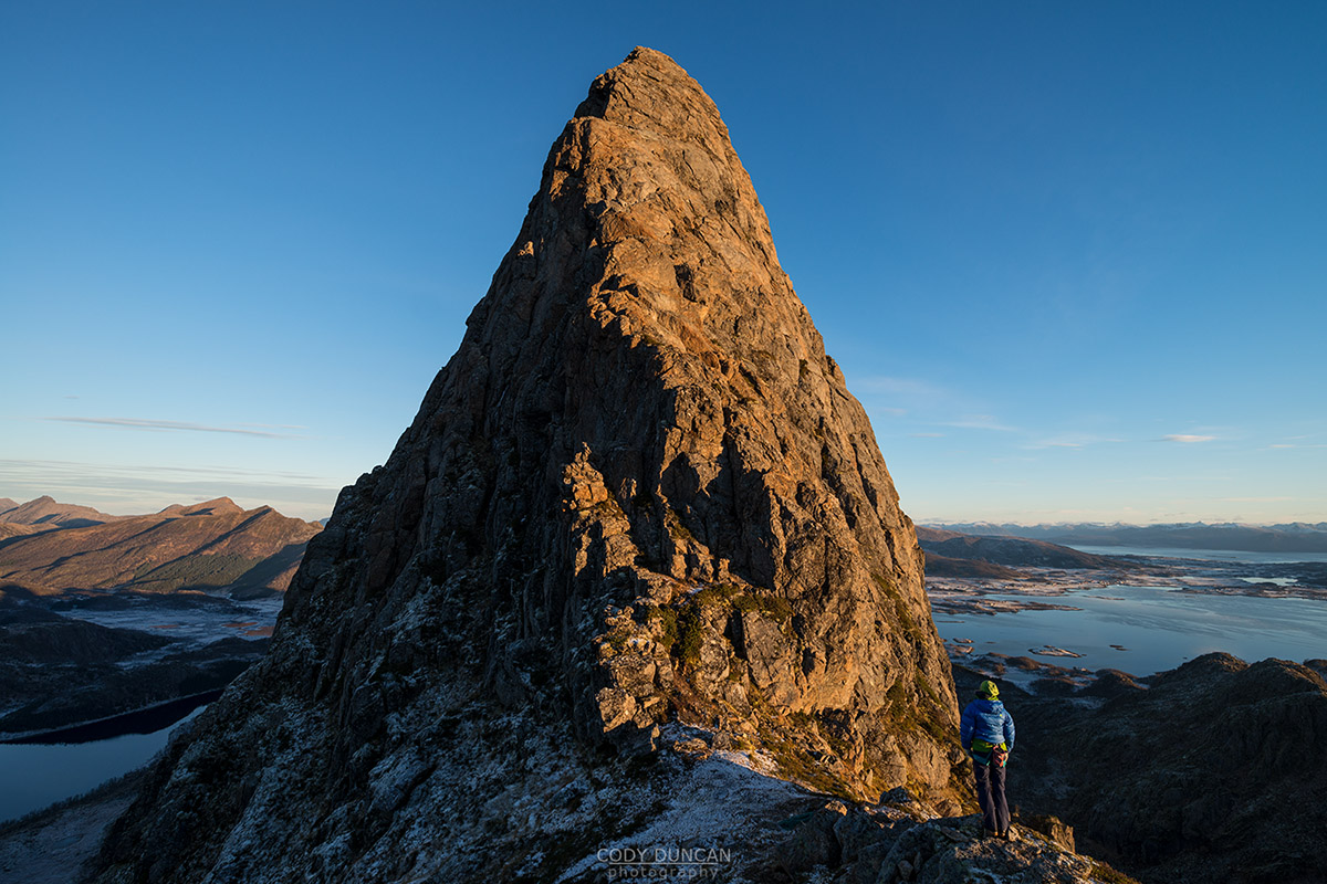
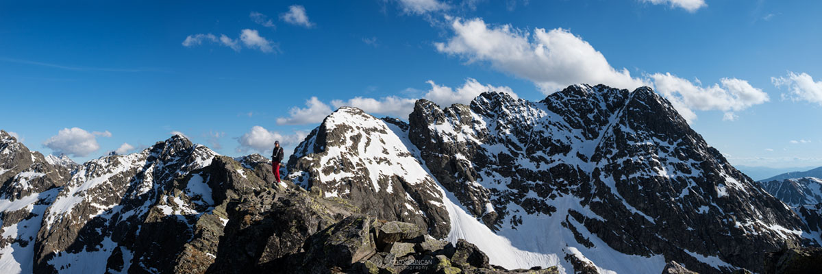
Photo: At the bast of the climbing route on Reka, Vesterålen, Norway. November 2016
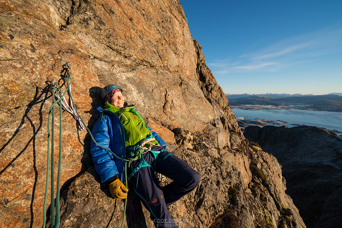
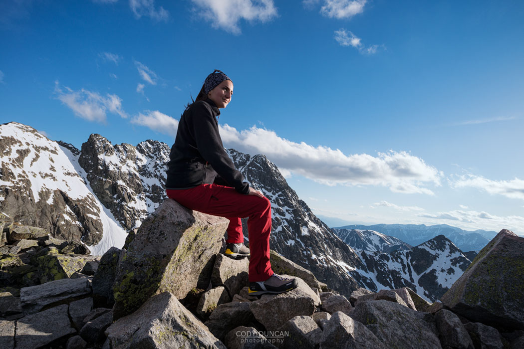
Photo: Happy in the sun at pitch 2 on Reka, Vesterålen, Norway. November 2016
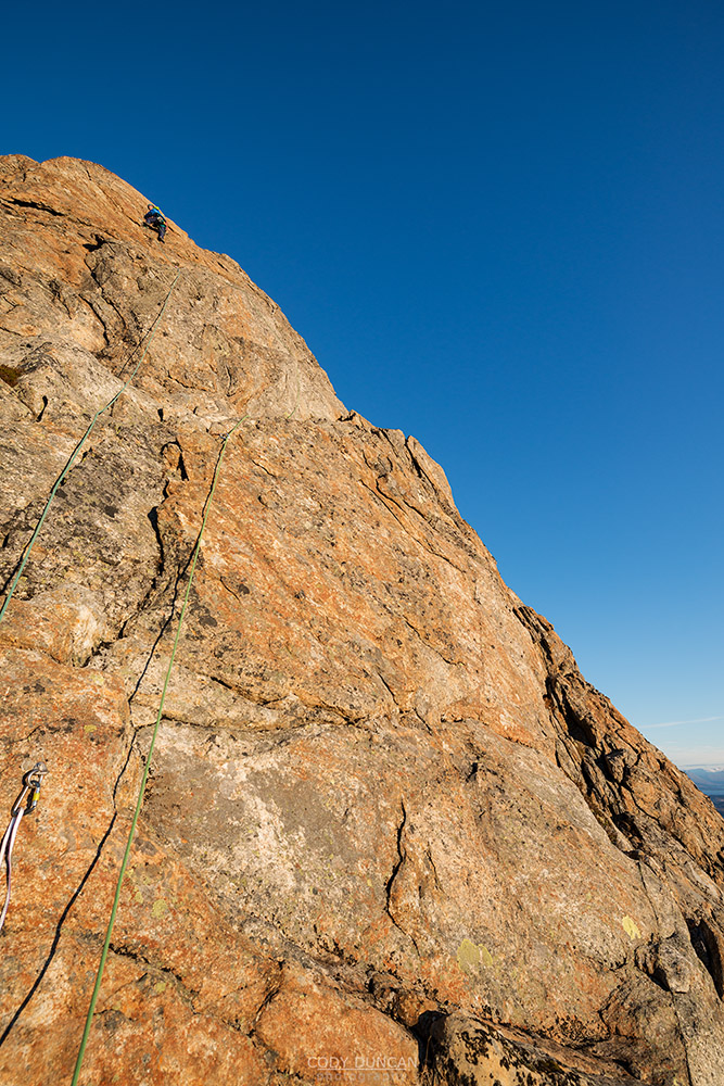
Photo: Ylva on lead for pitch 2 on Reka, Vesterålen, Norway. November 2016
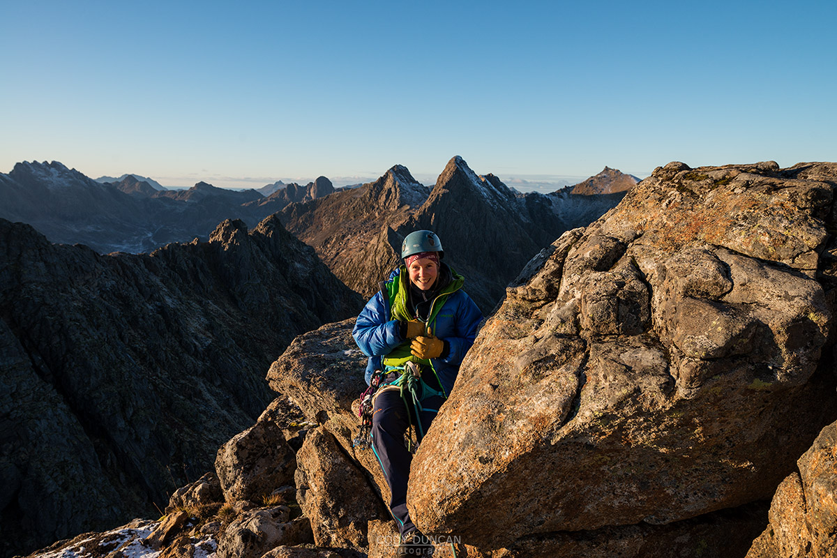
Photo: Last sunlight before turning around at pitch 3 on Reka, Vesterålen, Norway. November 2016
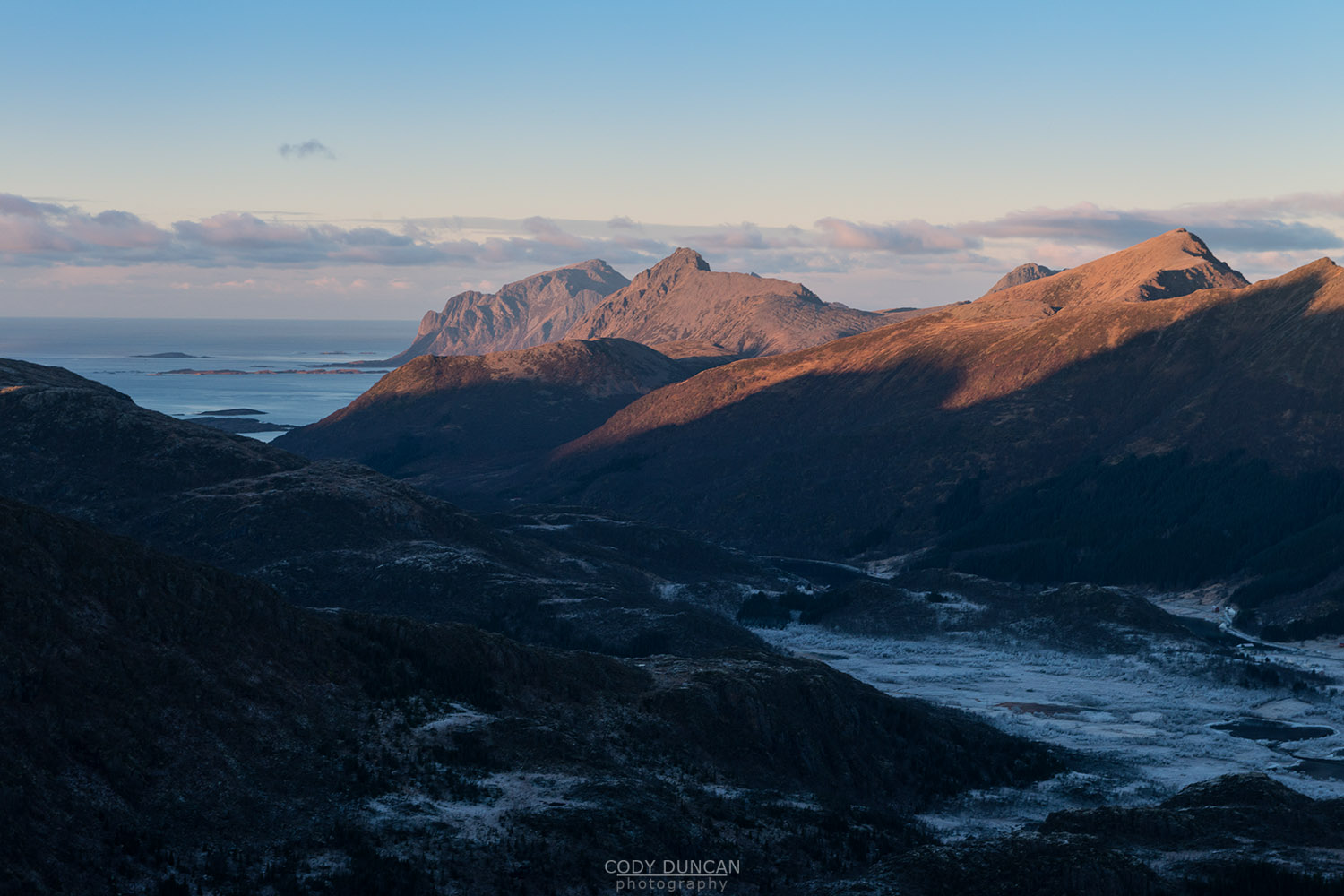
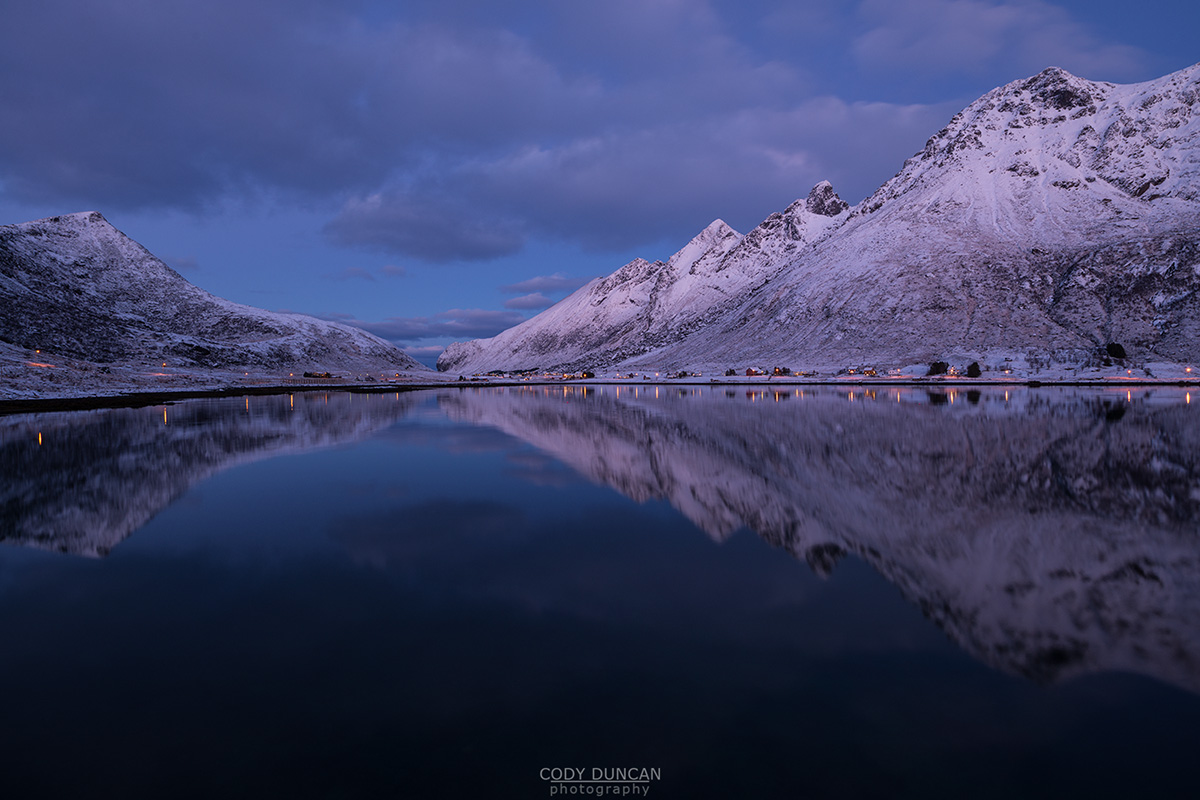
Photo: Down from the climb, our basecamp in deep shadows for the hike out, Vesterålen, Norway. November 2016