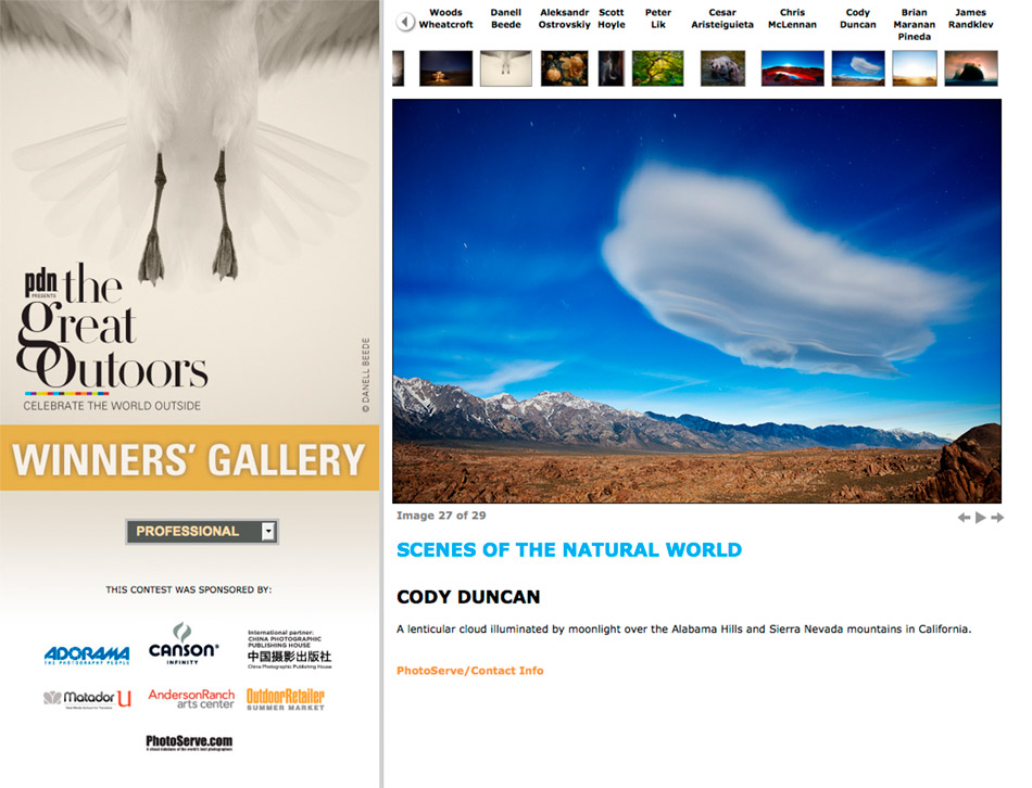
PDN Great Outdoors Photo Contest 2012 Winning Image

2012 PDN great outdoors photo contest

Photo: 2012 PDN Great Outdoors photo contest

I’m proud to announce that for the second year in a row I have a winning image in the PDN Great Outdoors photography contest.

–CLICK HERE– to view the winners gallery

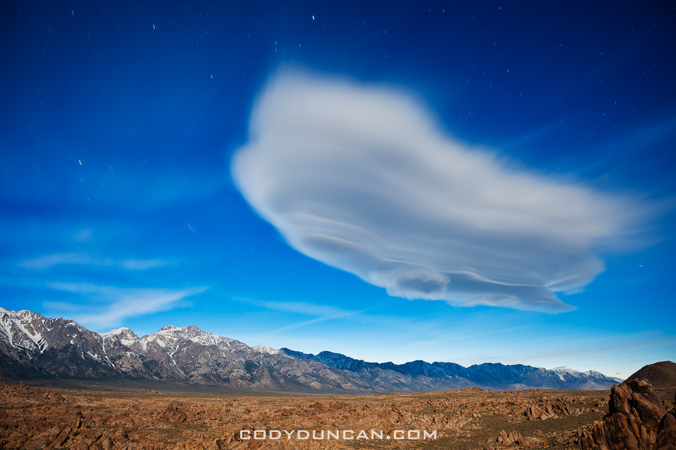
The photo is from the last night of a road trip though the desert southwest last year.  Taken in the Alabama hills, it is a 2 minute night photo of a lenticular cloud illuminated by moonlight as it hovers over the Sierra Nevada mountains of California.  I guess I’m glad I wasn’t lazy and off the bed once the sunset ended.

Ghostly lenticular cloud illuminated by full moon over Alabama Hills and Sierra Nevada mountains, California, USA

Photo: Lenticular cloud at night over Sierra Nevada Mountains, California.  April 2011

Mount Dana – Yosemite National Park

Mount Dana, Yosemite national park, California

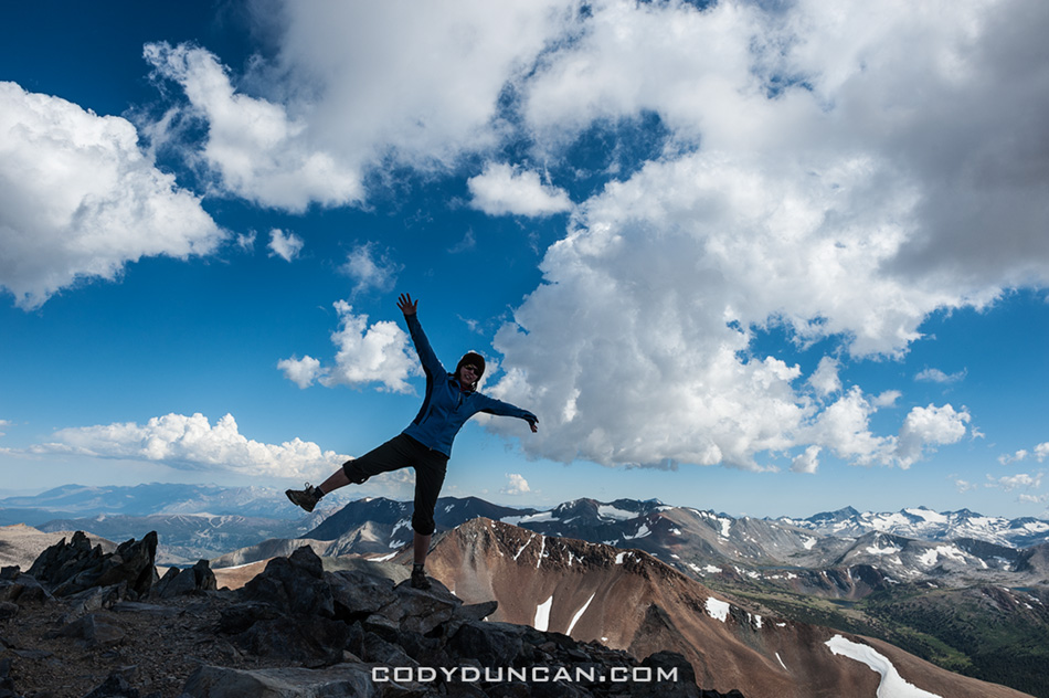
Photo: Summit of Mt. Dana, Yosemite national park, California.  July 2012

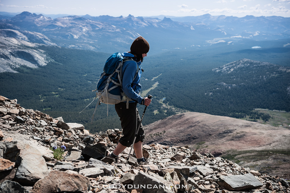
Trying to avoid being too lazy while spending a few days in the Yosemite high country, we decided to head up Mt. Dana, the 2nd highest peak in Yosemite national park.  The forecast was for mostly clear skies, but things began to cloud up as we headed up in mid afternoon.  I had initially though of staying up there for sunset, but conditions looked a bit risky.  Heading up we even had a few minutes of snow/hail as some clouds passed over.  Once back off the mountain, thunder rumbled though the sky.

For some reason I’ve never been up Mt. Dana before.  I once had plans of climbing Dana coular, but those fell though.  In reality though, I don’t spend that much time in Yosemite as I mostly stay further south in the Sierra.  There were some nice views from the top, so I’m glad I finally made it…

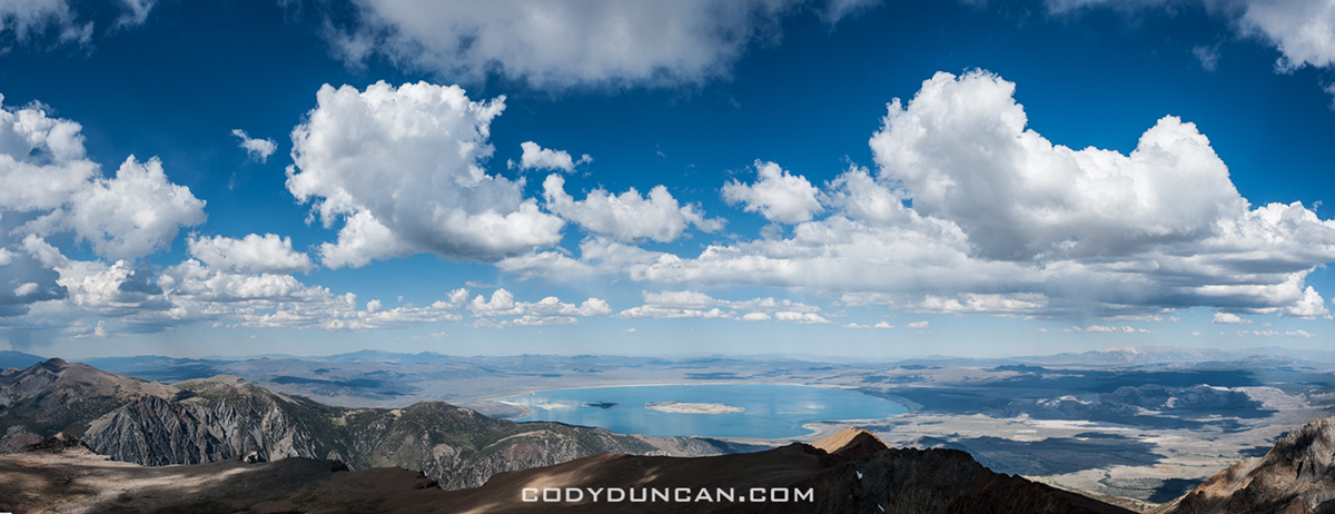
View over Mono lake from Mt. Dana, Yosemite, California

Photo: View over Mono lake from summit of Mt. Dana, Yosemite national park, California.  July 2012


Hiking mount dana yosemite california

Photo: Descending the loose talus slopes of Mt. Dana, Yosemite national park, California.  July 2012

Tuolumne Meadows

deer and mist, tuolumne meadows yosemite

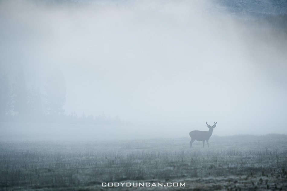
Photo: Lone deer in fog, Tuolumne meadows, Yosemite national park, California.  July 2012

After leaving Colorado we figured a few days in Yosemite would be a good way to finish off the roadtrip.  It was a long, hot drive across Utah and Nevada.  It is really amazing how many miles of emptiness this country still has.  Quite a contrast to driving in Europe (where I’ll be in a few more weeks) where one passes through town after town every few miles.  Although much of the land is probably empty for good reason, I sure as hel wouldn’t want to live out there.

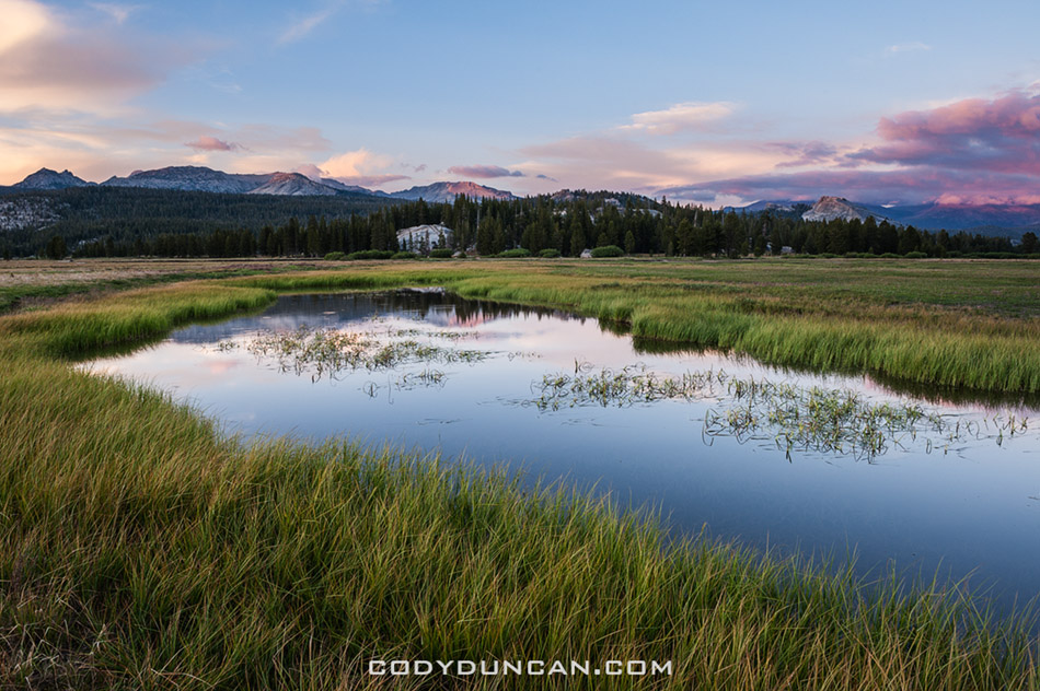
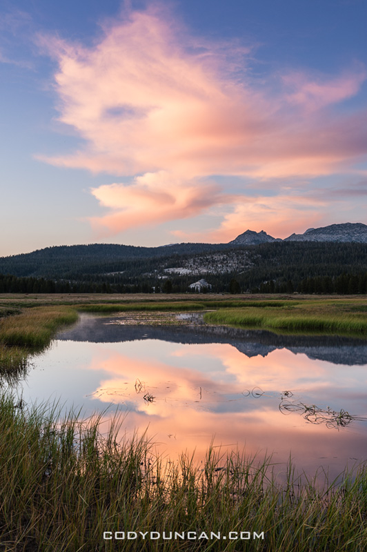
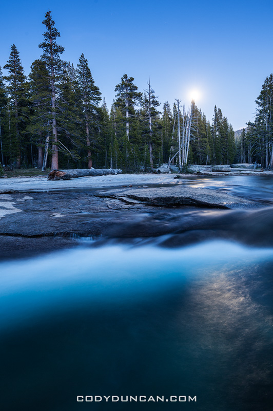
For the most part we stayed in the high country of Tuolumne.  I cruised the meadows for 3 consecutive sunrises, but my willpower was not enough to defeat the fog.  Sunset on one day provided a bit more light, but still nothing too much.  On the last night we took a walk along the Tuolumne river under the full moon, was quite warm as well and the perfect end to two weeks on the road…

Tuolumne meadows yosemite

Photo: Summer sunset, Tuolumne meadows, Yosemite national park, California.  July 2012


Tuolumne meadows yosemite

Photo: Summer sunset, Tuolumne meadows, Yosemite national park, California.  July 2012


Tuolumne river night yosemite

Photo: Moonlight over Tuolumne river, Yosemite national park, California.  July 2012

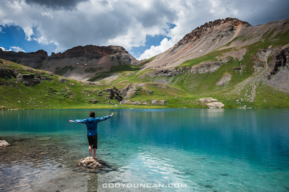
Ice Lake Basin – Colorado

Ice Lake Basin, San Juan Mountains, Colorado

Photo: Ice Lake, San Juan Mountains, Colorado.  June 2012

After hiking Mt. Sneffels on the previous day, we headed up for a night at Ice Lake Basin, near where we had begun the trip at Clear Lake a week before.  All the pictures I had seen of the basin were spectacular, and one of the reasons why I wanted to head to Colorado in the first place.  I guess I saved the best for last.

Once again, rain decided to join us on the hike up.  And this wasn’t any wussy California rain.  Colorado rain drops are so big they almost hurt as they hit you in the head.  From time to time we’d have to hide under trees for a few minutes as the heavier showers passed but luckily enough the sky began to clear as we reached to tree line and headed out into the open.

I hiked into sight of Ice lake and just stood there, taking it all in.  Probably one of the most beautiful mountain landscapes I’ve ever seen.

After setting up camp for the night we just wandered around for a bit.  Rain still threatened but held off for the most part.  The sun came and went in a dance of shadows across the land and the day slowly turned to night; my last night in Colorado and I probably couldn’t have chosen a much better place.  The next day would begin the long drive across Utah, Nevada and back to California…

Ice Lake Basin, San Juan Mountains, Colorado

Photo: ‘Hurry up and take a damn photo, my feet are cold!’ Ice Lake, Colorado.  June 2012


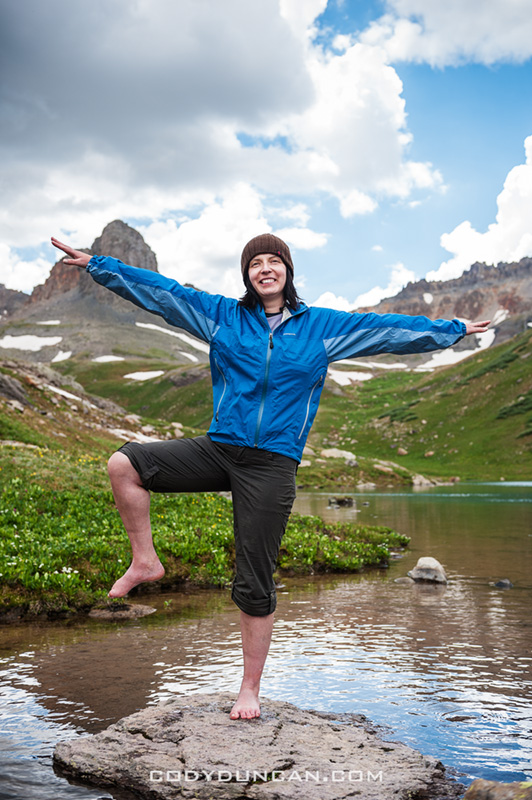
Hiking Ice Lake Basin, San Juan Mountains, Colorado

Photo: Glad the sun is on us! Ice lake Basin, San Juan Mountains, Colorado.  June 2012


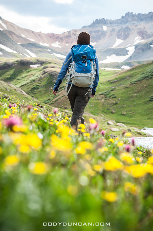
Backpacking along Colorado summer wildflowers

Photo: Walking among summer wildflowers, Ice Lake Basin, Colorado.  June 2012


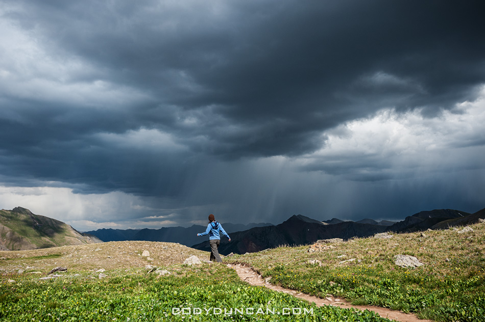
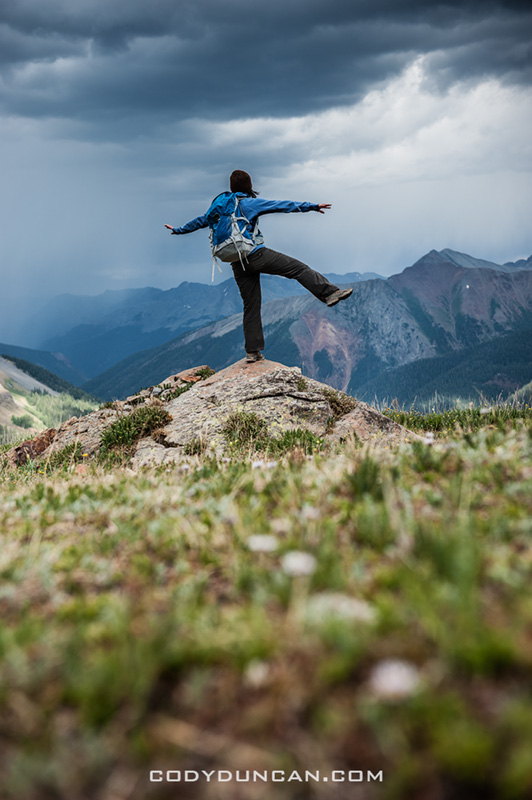
Hiking Ice Lake Basin, San Juan Mountains, Colorado

Photo: Watching the rain, Ice Lake Basin, Colorado.  June 2012


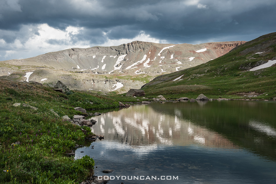
Ice Lake Basin, San Juan Mountains, Colorado

Photo: Mountain Reflection, Ice Lake Basin, Colorado.  June 2012


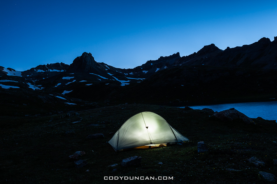
Camping at Ice Lake Basin, San Juan Mountains, Colorado

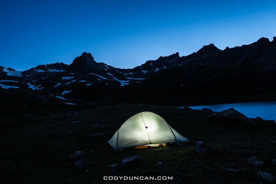
Photo:  Night descends on camp, Ice Lake Basin, Colorado.  June 2012


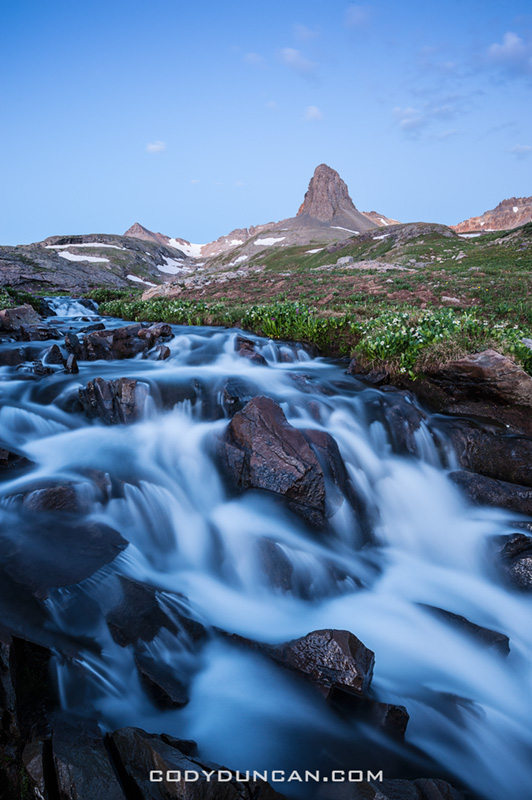
Flowing river, Ice Lake Basin, Colorado

Photo: River at dawn, Ice Lake Basin, Colorado.  June 2012

Ophir Pass Colorado

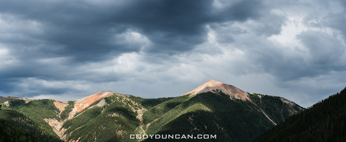
Ophir Pass, San Juan Mountains, Colorado

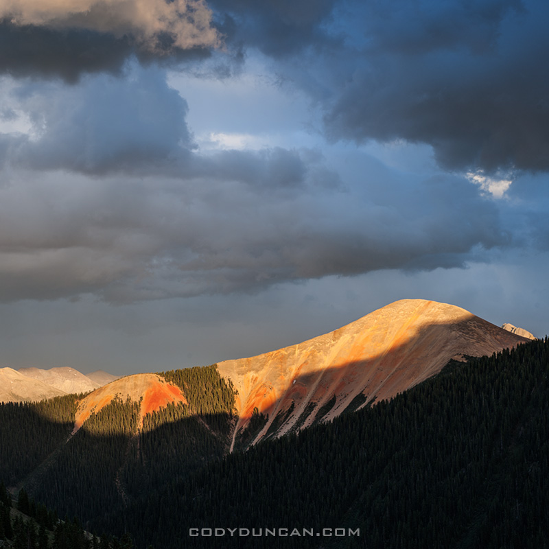
Photo: Stormy skies over San Juan Mountains from near Ophir Pass, Colorado.  June 2012

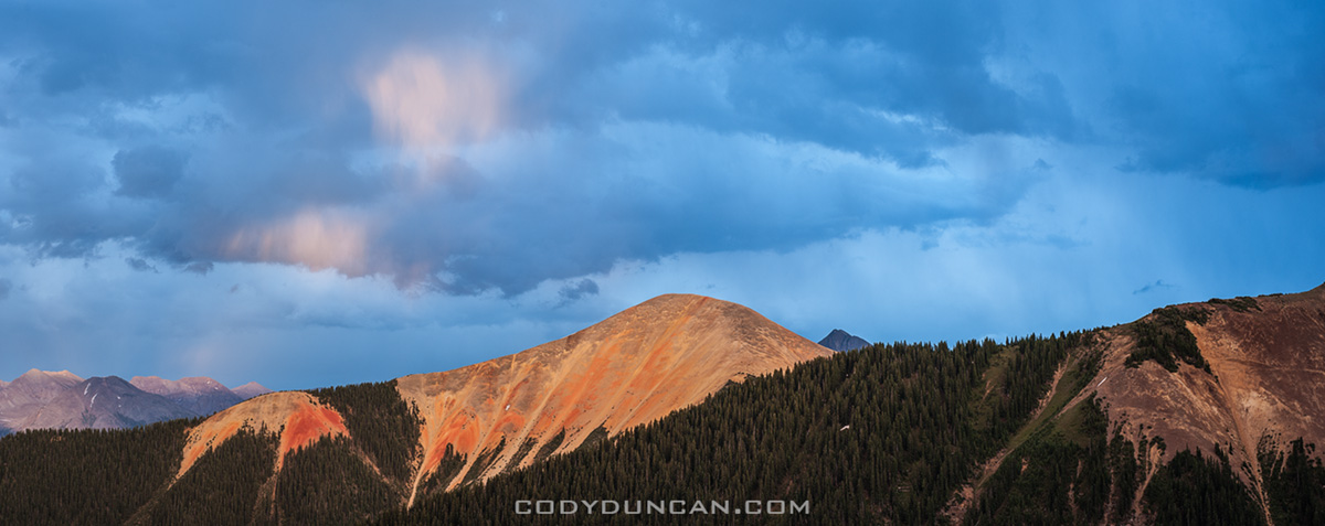
After getting down from Mt. Sneffels we headed south, looking for a place to camp for the night.  We ended finding a nice little place on Ophir pass with some decent views only a short while away so my tired knees didn’t have to put in much effort, just letting nature do the work.

Next up: Ice Lake Basin.

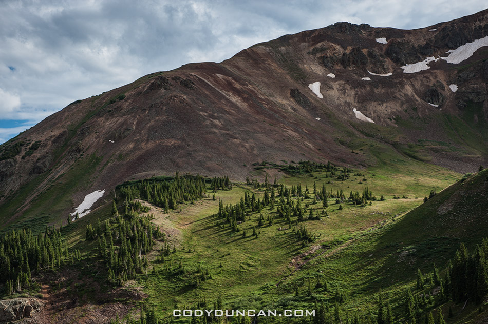
Ophir Pass, San Juan Mountains, Colorado

Photo: Ophir Pass, San Juan Mountains, Colorado.  June 2012


Ophir Pass, San Juan Mountains, Colorado

Photo: Mountain views from Ophir Pass, San Juan Mountains, Colorado.  June 2012


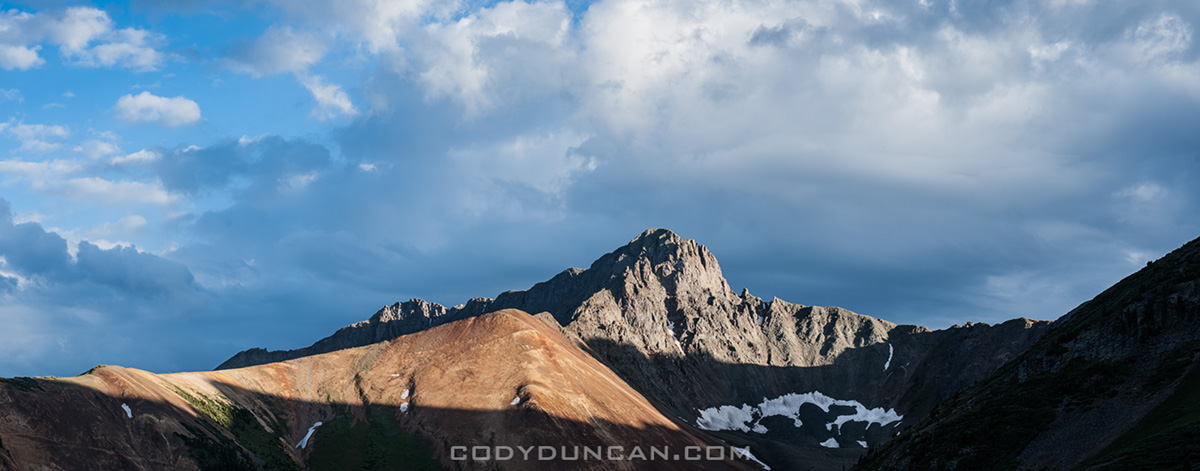
Ophir Pass, San Juan Mountains, Colorado

Photo: Last light, Ophir Pass, San Juan Mountains, Colorado.  June 2012


Ophir Pass, San Juan Mountains, Colorado

Photo: Ophir Pass, San Juan Mountains, Colorado.  June 2012

Mount Sneffels – Colorado

Panoramic view from summit of mt. Sneffels, Colorado

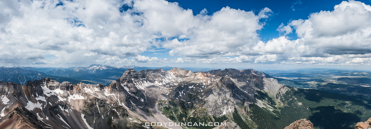
Photo: Panoramic view from summit of Mt. Sneffels, San Juan Mountains, Colorado.  June 2012

After Mt. Elbert we headed to Aspen to check things out and grab some lunch.  We had the rough idea or heading into the Maroon Bells area for maybe a two or three night trip out in the wilderness.  That plan more or less ended when we saw that you had to park at some hotel and take a bus.  So with that, and not being overly impressed with aspen – too many fake boobs and stretched faces wandering around for my tastes, we began the long drive back towards Ouray with our sights on a new mountain: Mt. Sneffels.

By this time the heatwave that had been baking most of Colorado had sort of broken and a bit of weather out of the west was rolling through the San Juans.  We spent an afternoon in Ouray doing our best to hide from the rain.  And Ouray is a cool little town, glad I got the chance to spend a bit of time there.  In late afternoon we headed up towards the trailhead at Yankee Boy Basin.

As night came I closed by eyes to the sound of distant thunder and the light patter of rain on the roof of my truck.  When my 5am alarm woke me in the darkness of the morning, the rain was still there.  Back to sleep I guess.  A few hours later the sky seemed to be thinking about clearing up, so we headed along the road and towards the mountain.  It was going to be a low milage day anyhow, so if the weather turned us back, so be it.

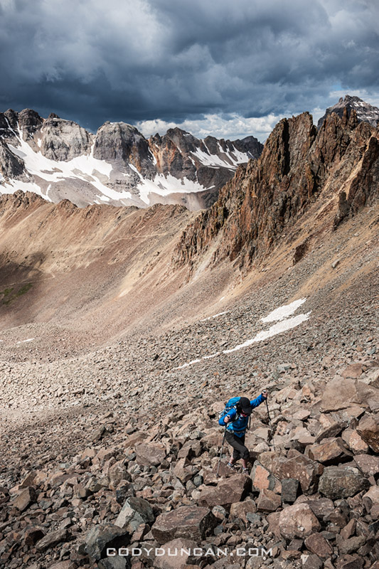
The sky held off until we were halfway up the loose scree/talus slopes of the south face of the mountain and we were wet again.  Nearing the summit the sun returned, making me glad I hadn’t turned around.  But I knew the weather wasn’t going to hold off for long so I didn’t want to waste much time hanging around the summit, especially since we got a fairly late start.  Once off the summit and heading back down, thunder rumbled the sky I we picked up the pace a bit.  Several late parties were slowly heading up, but smartly decided to turn around at that point.

Mt. Sneffels was probably my favorite mountain of the whole trip.  The views are simply spectacular and the weather was perfect for mountain photography.

Climbing mt sneffels colorado 14er

Photo: Endless scree and talus on the south slope of Mt. Sneffels, Colorado.  June 2012


Summer storm San Juan Mountain Colorado

Photo: The storm has passed, for now.  View from the slopes of Mt. Sneffels, Colorado.  June 2012


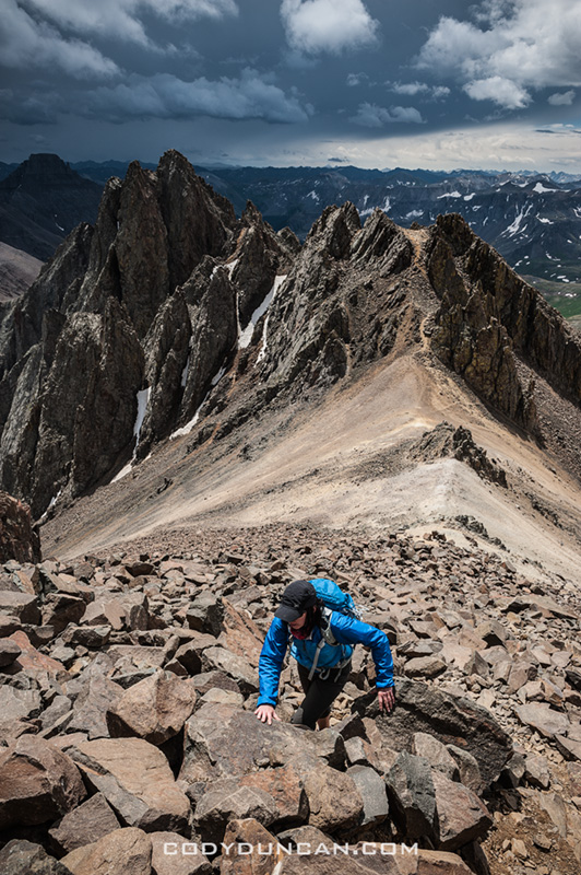
Climbing mt sneffels colorado 14er

Photo: Slopes steepen as the summit grows closer, Mt. Sneffels, Colorado.  June 2012


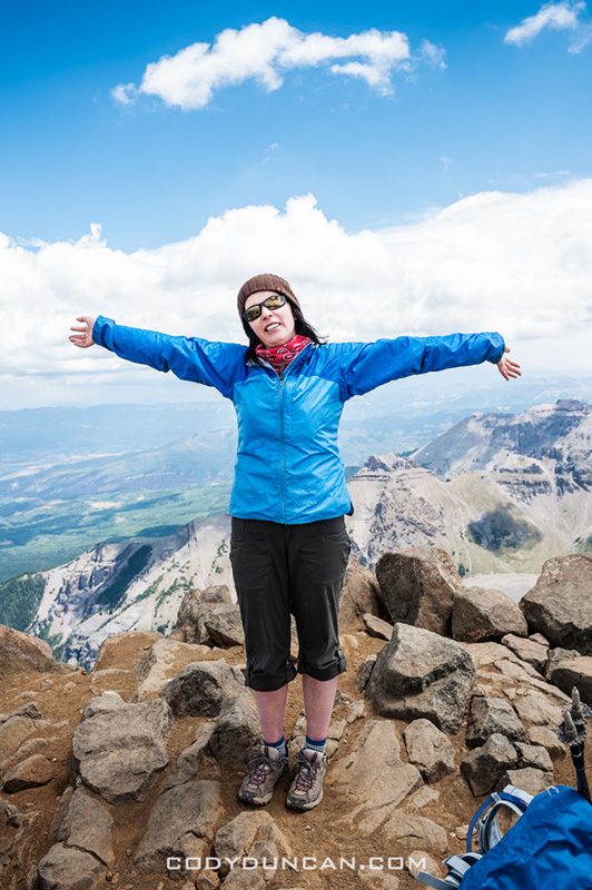
Summit of mt sneffels

Photo: Finally at the top, Mt. Sneffels, Colorado.  June 2012


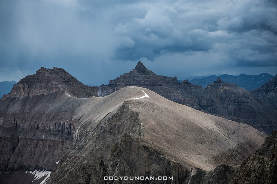
Colorado mountain landscape san juan mountains

Photo: Dark skies over the San Juans, Colorado.  June 2012


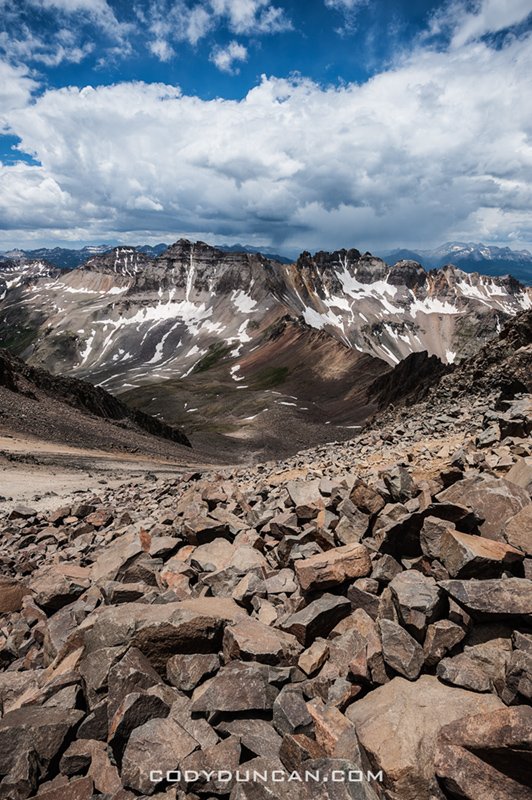
Mt sneffels colorado view

Photo: View down the rocky slopes of Mt. Sneffels, San Juan Mountains, Colorado.  June 2012

Mount Elbert – Hightest Colorado Mountain

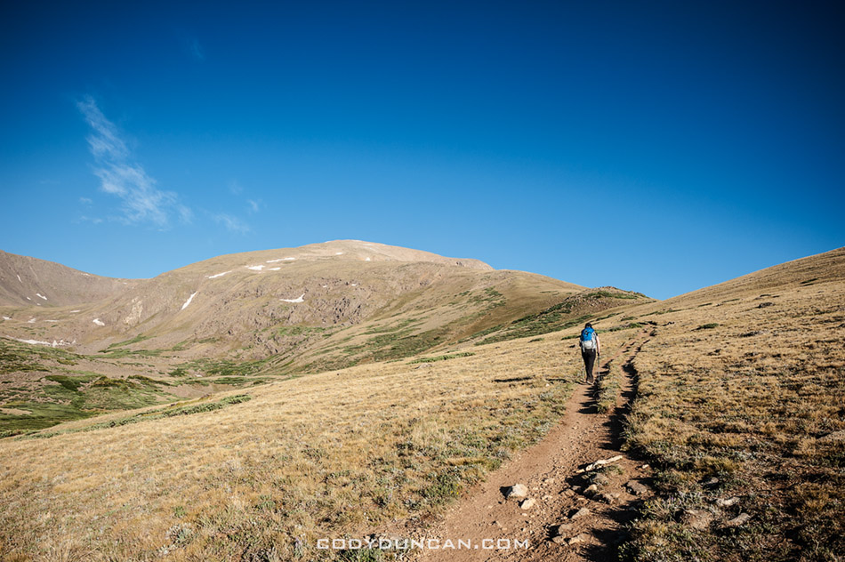
Hiking mount elbert south ridge trail, Colorado 14ers

Photo: Heading up Mt. Elbert.  Still a couple hours away.  June 2012


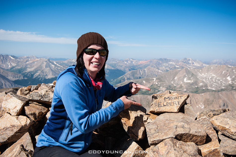
Mt elbert summit, Colorado

Photo: On the 14, 433 ft summit of Mt. Elbert, the highest point in Colorado.  June 2012

After Handies Peak, we were a bit indecisive on where to head next.  We were thinking of the twin summits of Sunshine and Redcloud, just down the road from where we already were, but driving past the trailhead, the area looked like a zoo, and it still being early in the morning, the cooler running out of ice, and not wanting to sit in the back of my truck all afternoon, we hit the road.  Initially we had planned to hike Scarp ridge the next day, but the photos in the guide book proved to be somewhat more scenic that what we found, so motivation was mostly lost.  And there was a fair bit of smoke filling up the sky so the thought of carrying my camera gear all day when I knew I probably wouldn’t be taking any photos didn’t inspire me much.  So after spending the night up there, it was off to Mt. Elbert in the morning.

Being Colorado’s highest mountain at 14,433 feet, I was expecting it to be a bit more crowded, but as we pulled up to the trailhead it was mostly empty.  Another night camping in my truck and then at the crack of dawn we were headed up the mountain.  It was another day with a fair amount of smoke and haze from the wildfire’s so I didn’t take to many photos.  It was still nice to at least be the highest person in Colorado for a few minutes.  The hike down was hot and dusty. Passed a few groups of some sort of scouts with way too heavy packs and sweating away under the hot sun.  Hope they at least found some water to fill up their bottles.

Next up: a stormy day on Mt. Sneffels…

Mt elbert panoramic photo

Photo: Panoramic view from summit of Mt. Elbert, Colorado.  June 2012

Handies Peak – My First Colorado 14er

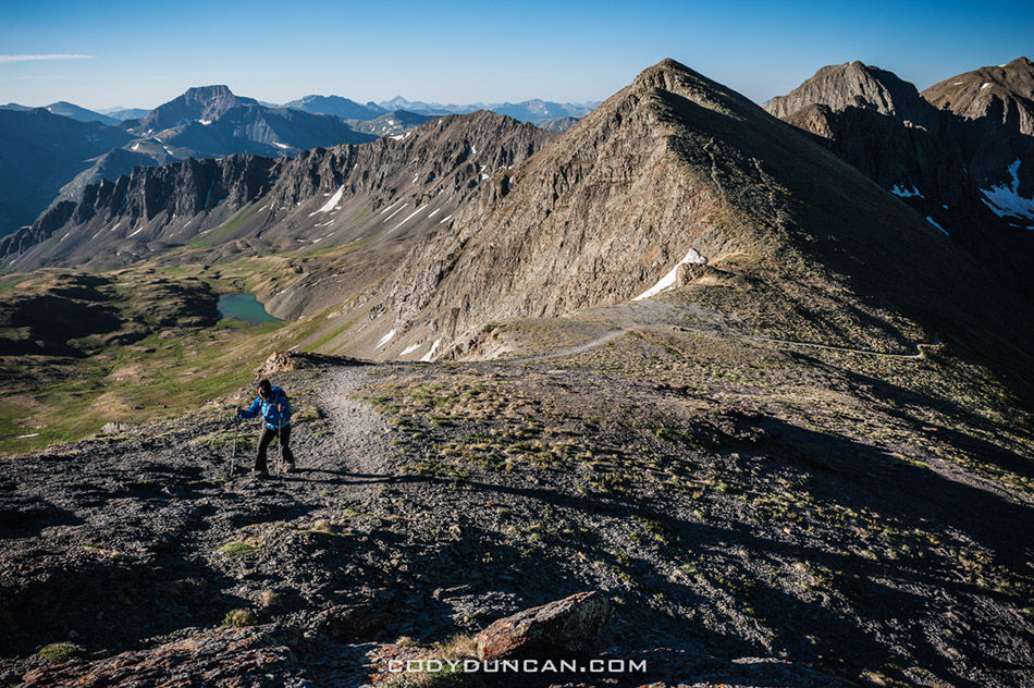
Hiking Handies peak from American Basin, Colorado

Photo: Into the sunlight on the way to Handies Peak, Colorado.  June 2012

After a couple days acclimating we set our sights on Handies Peak (14,048 ft) as the target for our first Colorado fourteener.  This was partly because it would be a good easy hike for a warmup and partly because we were already somewhat in the area;  Though crossing Cinnamon pass isn’t the smoothest way to get to the trailhead.  It something that it still a bit odd for me:  in California we typically drive to the end of the pavement, park, then start hiking.  In Colorado the mountains are crisscrossed with roads, and depending on the abilities of your vehicle, it’s often possible to drive to around 12,000, making the approaches to many of the mountains a lot shorted than what I’m used to.  My knees probably wont complain about this though!

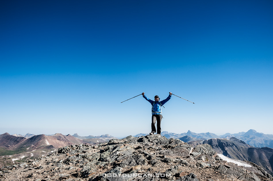
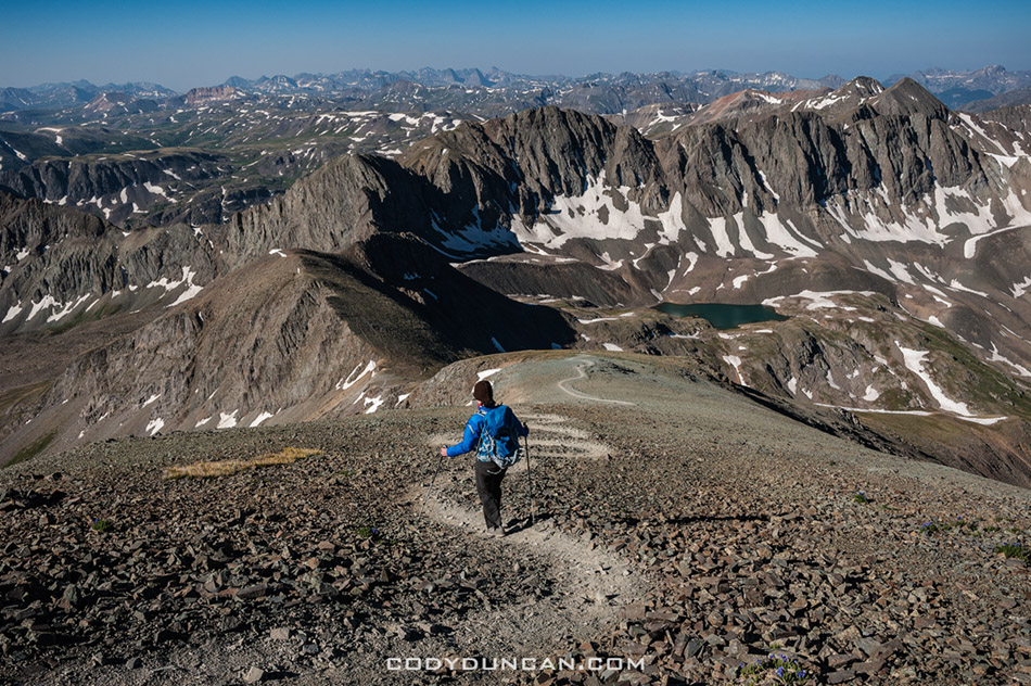
We hiked Handies from the American Basin trailhead on the west side of the mountain.  Even with a start just after dawn and being in the shade most of the way up until hitting the final ridge to the summit the temperatures were quite mild and I was glad to delay putting on sunblock for as long as possible.  It got a bit windy while up on the ridge, but nothing too bad.  We were the 2nd group up the mountain for the day, with one other guy approaching from Grizzly Gulch on the other side.  On the way down we passed lots of parties on the way, making me glad I we got an early start to beat the crowds.

Next up: Mt. Elbert

Hiking Handies peak from American Basin, Colorado

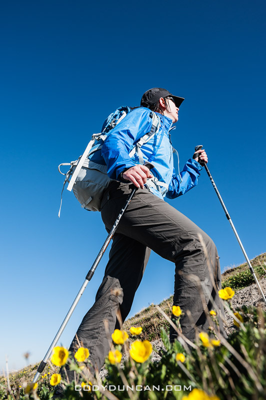
Photo: Still a few flowers around high up on the mountain.  June 2012


Handies peak summit

Photo: On the summit under clear blue skies (well, a bit of haze from the wildfires).  June 2012


Hiking Handies peak from American Basin, Colorado

Photo: Descending the gentle ridge from Handies Peak, Colorado.  June 2012


American Basin landscape, Colorado

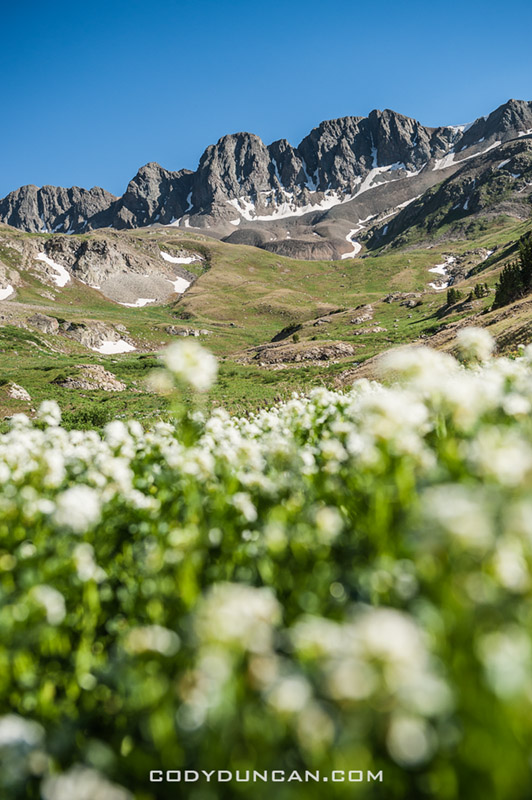
Photo: View from the American Basin trail head.  June 2012

Colorado Trip

Ice Lake Basin Colorado tent camping

Photo: Night descends on camp at Ice Lake Basin, San Juan Mountains, Colorado.  June 2012

For the last couple weeks of June I was on a little road trip to Colorado.  Other than 1 afternoon about 15 years ago, this was my first time there.  It’s pretty far away from here in California and there is a lot of ‘nothing’ to pass through on the journey to get there, but I really wish I’d made a few journeys before this as it will probably be quite a few years before I ever get back there again.

For the most part we stayed in the southwest in the area of the San Juan mountains.  We managed hikes up 3 14ers (Handies, Elbert, and Sneffels) and a night camping at Ice Lake basin which is an absolutely amazing spot and reminds me of the Alps quite a bit.  All in all, the Colorado mountains are much more green and lush that what we have here in the Sierra Nevada in California where it is basically just rock once you get above the tree line.  Flipping through the guidebooks I picked up, I was a bit overwhelmed as to what to do.  There are just so many mountains and trails!  It seems the choice here in California is a bit easier as you either enter the mountains from the west, or more typically for me, from the east.  But Colorado has so many roads, so many peaks in every direction, and having no idea of what to actually do, it was a bit difficult to focus in and make a choice.  I probably wasted a few days here and there, but overall it was a fun trip.

Conditions wise we were a bit lucky and unlucky.  Due to an abnormally dry winter, ever local I ran into up in the mountains said the late June conditions looked more like early August in typical years.  The made access to the mountains quite easy and my feet hardly touched any snow.  Temperatures where hot!  I cursed the sun anytime I was below 10,000 feet.  Even in the early mornings on the way up the mountains I was often in a t-shirt, and sweating thoroughly in the hot sun on the way back down.  Though miraculously enough, I managed the whole trip without a sunburn.

The tragic fires were all the news while we where there.  On a few days the sky and valleys filled with smoke when the wind changed directions, but for the most part we wouldn’t have been aware there were any fires.

And Aspen in summer sucks, wasn’t even worth a few hours.  Not sure what all the rage is about.  But that’s generally my opinion of most ski towns.

I’ll make a few more post in the following days/week with more photos about each hike.  But this is pretty much the only road/photo trip I’ll be making stateside this year. For the past months I was too poor to get very far from the house, even resorted to selling off a bunch backpacking/camera gear on craigslist so I could at least eat some decent food and cover some bills.  Luckily I’ve now found a job that will keep me super busy for the next weeks and then hopefully I’ll be back on the Lofoten Islands by mid August.
San Juan mountains backpacking Colorado

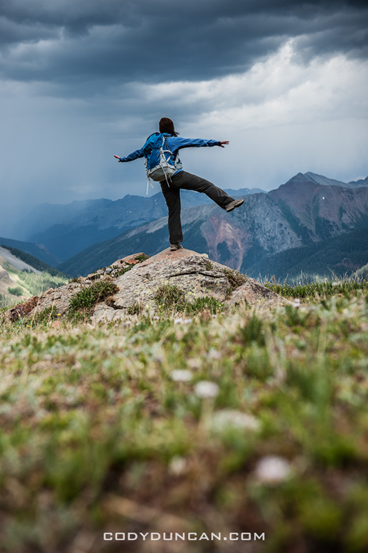
Photo: Waiting for the rain, Ice Lake Basin, San Juan Mountains, Colorado.  June 2012
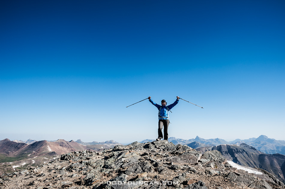
 

Summit of Handies Peak Colorado 14er

Photo: Summit of Handies Peak, Our first Colorado 14er.  June 2012
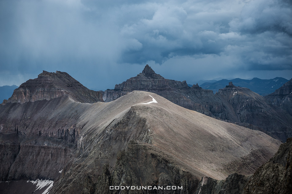
 

Colorado mountain storm San Juans

Photo: Dark skies and distant thunder on the way up Mt. Sneffels, Colorado.  June 2012
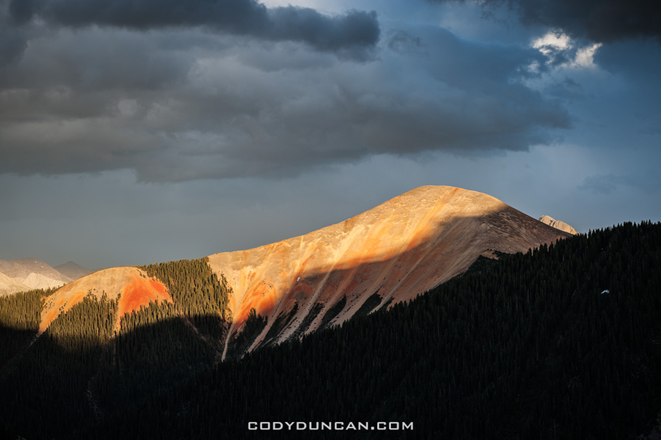
 

Colorado mountain landscape Ophir Pass

Photo: Last light from Ophir Pass, San Juan Mountains, Colorado.  June 2012


Travel map

Photo: Lots of miles on my truck, time for an oil change…