Ghost – Panoramic

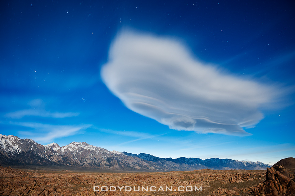
Lenticular cloud sierra nevada mountains at night

Photo: Lenticular cloud illuminated by full moon over Sierra Nevada mountains, Alabama Hills, California

A 4 image panoramic of the same scene I posted a couple weeks back.  Lone Pine peak is the high mountain on the left of the photo, Mount Whitney is about 1/3 from the left, while Mount Williamson is slightly right of center.  For a sense of scale, from my position to the summit of Whitney is slightly less than 10,000 ft of elevation gain.


Lake Gjende viewed from Besseggen ridge, Jotunheimen national park, Norway

Hiking the Besseggen Ridge – Jotunheimen National Park, Norway

Hiking the Besseggen Ridge – Jotunheimen national park, Norway
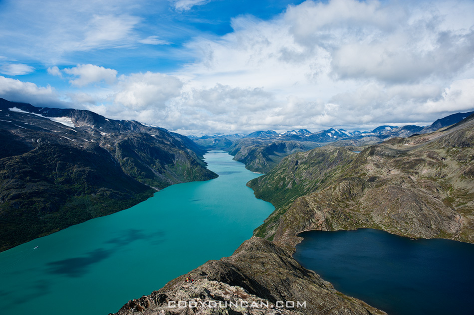
Lake Gjende viewed from Besseggen ridge, Jotunheimen national park, Norway

Photo: Lake Gjende and Bessvatnet from Besseggen ridge, Jotunheimen national park, Norway

The Besseggen ridge hike is one of the most popular in Norway, with some 30,000 people making the trek between Gjendesheim and Memurubu each year.  Located in the stunning mountain scenery of Norway’s Jotunheimen national park, the trail roughly follows a ridge on the north side of lake Gjende and provides amazing views of the whole length of the long and colorful lake as it sits surrounded by glaciated mountain peaks.

With a distance of about 8 miles (13 km) and climbing 2,500 feet (759 m) above lake Gjende the hike requires a moderate level of physical fitness.   Expect to take 5-7 hours to complete the hike between Gjendesheim and Memurubu.  The trail is well marked and easy to follow, and due to its popularity, it’s doubtful you’ll be alone – even in bad and rainy weather.

From Gjendesheim, the trail climbs at a moderate gain for several kilometers until finally reaching a high and rocky alpine plateau.  Even if the wind is calm at lake level, it can be cold and windy once up high, be prepared.   The steepest and narrowest section occurs shortly after passing the high point of 5,718 feet (1743 M) – marked with a large cairn.   After this point, the trail then proceeds to quickly drop down to the southern shore of lake Bessvatnet at 4,504 feet (1373m).  Here is were you have one of the best views of Lake Gjende. Lake Bessvatnet represents the approximate half way point and is a good place to sit in the sun (if your lucky) and have a nice lunch.

Continuing from lake Bessvatnet the trail is relatively flat with only moderate climbs/descents until the final short and steep descent to Memurubu and the shores of lake Gjende.

HERE is a good online topo map for all of Norway.  Take a quick look so you can get a bit more comfortable with my descriptions and not mix up Gjende for Gjendebu for Gjendesheim.  Enter either ‘Besseggen’ or ‘Gjende’ in the search box and hit the ‘Kartsøk’ button.  This will get you where you need to look…
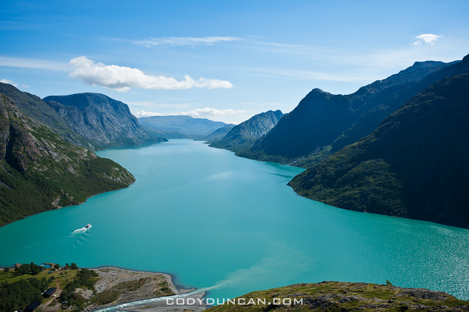
besseggen-ridge-norway3

Photo: Ferry leaves Memurubu for Gjendesheim (in far distance)

View of Besseggen ridge and Bessvatnet lake, Jotunheimen national park, Norway

Photo: view east of Besseggen ridge rising above lake Bessvatnet

Day hiking the Besseggen ridge gives one several options on how to go about things and how long of a day is desired.

• Ferry Gjendesheim – Memurubu : Hike Memurubu – Gjendesheim:
A popular way to make the hike is to take the morning ferry from Gjendesheim to Memurubu and make the hike back.  This way has the benefit of not having to meet the ferry schedule for a return trip, thus meaning that one can go as slow or fast as wanted.  One drawback is you will likely be hiking in a crowd of people all arriving with the boat, unless one sits around Memurubu while the crowd continues up the trail.

• Hike Gjendesheim – Memurubu : Ferry Memurubu – Gjendesheim:
This way one can get an early start and have the trail relatively empty.  Though if looking for mountain solitude, I suggest going elsewhere in the park.  The main drawback of this way is that one has to keep schedule to catch the ferry back to Gjendesheim.  Personally, I think the view is more scenic in this direction, and the sun will be at your back during the morning hours.

• Hike Gjendesheim – Memurubu : Hike Memurubu – Gjendesheim:
For a longer day, it’s possible to hike the ridge to Memurubu and back.  Or, to save some tired knees, there is a flat trail that follows the lake, connecting Gjendesheim and Memurubu.

• Ferry Gjendesheim – Gjendebu : Hike Gjendebu – Gjendesheim:
For a long day, take the morning ferry to the end of lake Gjende and Gjendebu and hike back to Gjendesheim.  The section between Gjendebu and Memurubu is relatively uncrowded and provides stunning views of lake Gjende and one approaches Memurubu and also some amazing views of Memurudalen – Memuru valley.

CLICK HERE for ferry schedule
CLICK HERE for ferry prices
CLICK HERE for DNT mountain hut info
CLICK HERE for a topo map of Norway. Search ‘Besseggen’ or ‘Gjende’
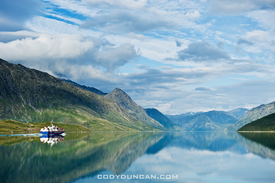
lake Gjende ferry

Photo: Ferry and mountain reflections on lake Gjende from Gjendesheim

Overnight trips to the huts:
The lake ferry boat not only carries people, it will also carry luggage.  So, say one is looking to stay overnight at Memurubu or Gjendebu hut, put your luggage on the ferry and hike from Gjendesheim.  When you arrive in Memurubu, your bags will be waiting.  This can also work in reverse, staying your first night in the hut and then hike back to Gjendesheim while your luggage takes the ferry.

Camping:
Wild camping is possible basically everywhere, the only restrictions being the immediate area around the huts.  Water is plentiful and tasty.  On the other hand, finding a flat and dry spot to pitch a tent can sometimes take a bit of searching, but is well worth the effort to sleep with some amazing views out the tent door.

Camping near Gjendesheim.  Walk past the end of the parking area and continue along the lakeside trail for 100m.  Beginning here you you see plenty of places to pitch a tent.  Can get a bit crowded on a nice summer weekend.
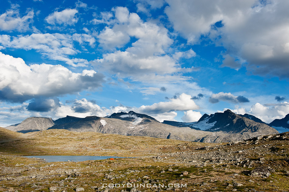
Scenic mountain landscape of Jotunheimen national park, Norway

Photo: Alone in the wilderness.  Wild camping in Norway’s Jotunheimen national park

Further into Jotunheimen:
Jutunheimen national park is an amazing place.  I highly recommend making a longer hike through the park, either as a multi-day loop or through hike.  While I enjoy camping in the wild, it’s also possible to carry a light pack and overnight in the well connected network of huts, many of which also serve food.

When to go:
The main summer season in the Norwegian mountains in July and August.  These months will be your best bet for sunny, warm days.

Getting there:
The start or finish of the Besseggen ridge is located at Gjendesheim, on the eastern end of lake Gjende and Jotunheimen national park itself.  Here you’ll find a full service DNT hut, a small (expensive!) shop/cafe, toilets, the ferry boat, and parking area.

By Bus:
Several busses travel to Gjendesheim daily.  The two options are to travel via Fagernes (to/from Oslo) in the south.  To the north the bus travels to Vagamo where one can transfer east to Otta and the train, or continue west through the fjords.

By Train:
There is no direct train link to Jotunheimen national park.  If traveling by train, say from Trondheim in the north, exit at Otta, where you will have to take the bus to Vagamo, then on to Gjendesheim.  The bus/train does not always meet at a convenient time, so be sure to check schedules.

Transportation links:
NSB – Norwegian train company
Nor-Way – Long distance bus routes incl. Olso – Gjendesheim
Ruteinfo – Local and regional bus information
Gjende – Lake Gjende ferry.  Prices and timetable

Other Useful links:
DNT – The Norwegian Trekking Assocaition
Interactive topo map including trails and huts for all of Norway
Norwegian weather

CLICK HERE for more photos of Jotunheimen national park from summer 2010

If there’s anything I seemed to miss, let me know and I’ll try and add it.
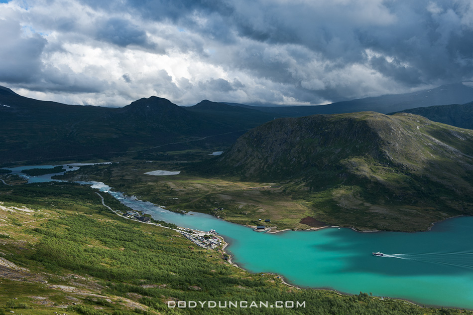
View towards Gjendesheim and lake Gjende, Jotunheimen national park, Norway

Photo: Looking towards Gjendesheim on the shore of lake Gjende from near start/finish of Besseggen Ridge trail

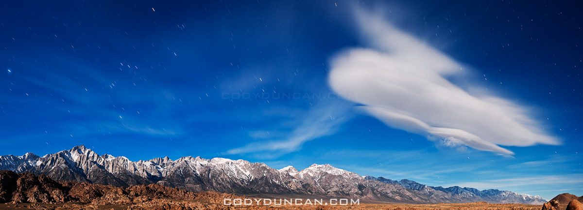
Ghost

Lenticular cloud over Sierra Nevada Mountains, California

Photo: Full moon illuminates lenticular cloud over Sierra Nevada Mountains and Alabama hills, California

I didn’t quite realize it’s been a month since my last post.  But truthfully, I haven’t produced much lately that’s very interesting.  And it seems every time I sit down to try and write something, it just ends up as some boring nothingness…

Isle of Skye Winter

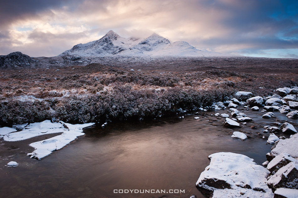
Clearning winter storm over Black Cuillins, Isle of Skye, Scotland

Photo: Clearing winter storm over Black Cuillins, Isle of Skye, Scotland

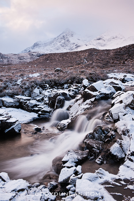
On the return from my new year Scottish islands trip I spent one night on the Isle of Skye.  After having wonderful light at Elgol on Friday night, Saturday morning arrived with gray clouds and a light snow falling.  Having a long drive ahead of me, I was tempted just to pack it in and head towards Rannoch Moor in hopes of a decent sunset.  However some gut feeling, in addition to not wanting to be the first car of the day on the snowy roads, led me to wait things out at Sligachan for a few hours.  I gave the weather till 9:30 am to clear, or I would hit the road.  As 9:30 came and went I was about to start the car, when I noticed some slight bits of clearing clouds.  Another 30 minutes later and I made these photos.

Clearning winter storm over Black Cuillins, Isle of Skye, Scotland

Best Photos of 2010 Part II

…Continuing on from my last post: Best Photos of 2010 Part I: January – June.  Here are what I feel my best photo’s from the second half of the year are.  The peak of this was my July-August trip to Norway’s Lofoten islands and Jotunheimen national park.  Otherwise, a week in Scotland at the end of October was really the only other productive period of photography for me.

Stamsund lofoten islands norway

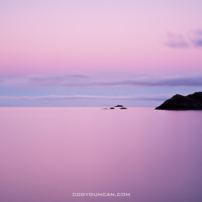
July: Summer twilight over Vestfjorden, Stamsund, Lofoten islands, Norway

The second appearance from the Lofoten islands on this list.  While the islands are more commonly pictured as jagged mountains rising from the sea, I feel this image helps portray some other aspects of islands: the sea, the light, the silence.  Only towards the end of July does the summer sun leave the sky, yet the night still remains a few weeks away.  This leaves an ever lengthening period of twilight as the sun travels further below the horizon.  It is during this time when the magical light of the north occurs.

This images was from a calm night, just a short walk out to the coast from the wonderful hostel at Stamsund.  I’ve stood in this exact same spot a dozen times, and walked away with a dozen different photos.  If I’m lucky, I’ll return again and again until I’m an old man.

Click here to view the entire photo gallery from my Lofoten Islands summer trip.

Memurudalen and mountains of Jotunheimen national park, Norway

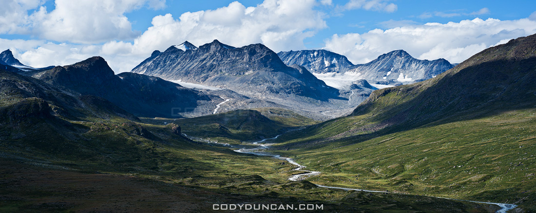
August: Memurudalen and Muru river, Jotunheimen national park, Norway

This was the view only a short walk from my tent in Norway’s Jotunheimen national park.  The weather was good this day, so I stopped here hoping this view would provide something spectacular for sunset.  Increasing clouds throughout the day led to a dance of shadows across the land.  While the sunset I was hoping for never arrived, I feel this image is an adequate representation of the brilliance of this location.  Another place that I’ll have to return to in the future.

Click here to view the rest of my images from Jotunheimen national park.

Fan Brycheiniog and Black Mountain, Brecon Beacons national park, Wales

September:  Black mountain, Brecon Beacons national park, Wales

I wont lie, this is more of a filler photo from an unproductive month.  It was a nice autumn day out hiking the the Black Mountain, but that’s about it.

Callanish standing stones, Isle of Lewis, Outer Hebrides, Scotland

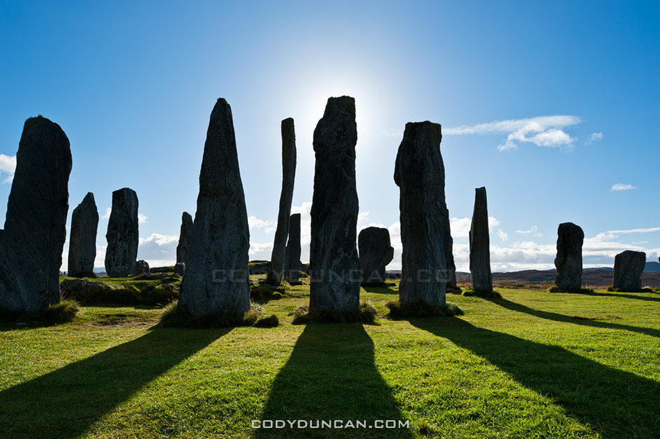
October:  Callanish standing stones, Isle of Lewis, Scotland

In late October I found myself out on the Scotland’s Western Isles.  I had originally intended to travel here last year, but as normal, plans changed.  I got lucky when I arrived at the Callanish standing stones in the late afternoon with clear skies and calm wind, about as good of conditions as can be hoped for out there.  This photo is just a simple silhouette, yet for some reason it jumps out at me.

Click here to view photos from my Western Isles trip.

Corn Du brecon beacons

November:  Pen Y Fan and Corn Du, Brecon Beacons national park, Wales

I was a bit torn as to what to add here as late November brought a deep freeze to the UK, but I thought this image of the last day of autumn (before the snow) just had some magical light.  Typical Welsh weather of clouds, sun and shadows while hiking around Pen Y Fan in the central Brecon Beacons mountains.

Ice covers Llangorse lake at dawn, Brecon Beacons naitonal park, Wales

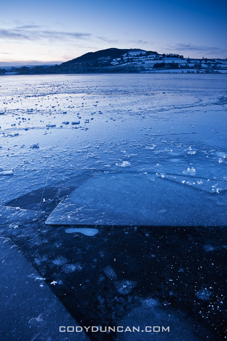
December: Winter ice covers Llangorse lake, Brecon Beacons national park, Wales

Llangorse is the only sizeable lake in the nearby area.  Despite this, the beginning of December was the first time I’ve ever been there.  And that is mostly because the roads have been too bad to go anywhere else.  For some reason I became slightly obsessed with getting a proper frozen lake image.    On my first visit I fell through some ice and had to leave early before any decent light.  With my second time I was greeted with impenetrable fog.  Finally on my third visit I had some clear skies, though the light is nothing special.  The surface of the lake is a bit messier than I would prefer, but at least the broken pieces of ice add some interesting shapes to the image.

Part I January – June: CLICK HERE

Best Photos of 2010 Part I

I’ve put together a list of what I think are my best image from each month of 2010.  That’s not to say these are all my best images of the year, as nearly all of them would have been from the Lofoten islands in January.  It’s been a good look at my consistency throughout the year.   There are definitely a few filler images from months where I wasn’t able to shoot much for whatever reason.   I’d say, April, June, and September are the weaker images of the year, Jan and July my favorites.

As a whole, it was an okay year photographically. I think I’ve captured some of my best images ever and had a couple productive trips.  But I’ve also felt a fair amount of frustration in being unable to realize a fair amount of my vision.  I guess I could say it better as: more often than not, I’ve failed to return with the images I wanted.  This is quite normal for landscape photography, but part of the problem is that I don’t want to be shooting landscape photography, I want to be shooting adventures and journeys surrounded by those landscapes.  Hopefully I’m able to find my vision better in 2011 and take my images to the level at which I want them to be…

Lofoten islands winter beach norway

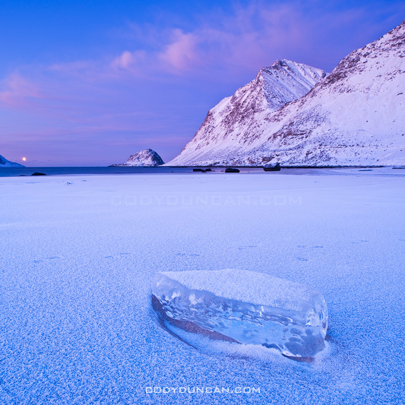
January:  Arctic twilight on Haukland beach, Lofoten islands, Norway

This was a difficult month to pick only a single image from.  The 6 days I spent on the Lofoten islands at the beginning of the month were some of the most inspiring days I’ve ever had.  Jan 6th in particular, my first full day on the islands, was especially memorable and the light was simply amazing.  I was completely frozen after a chilly night sleeping in a wind rocked car.  When dawn arrived in mid morning, all was perfectly calm with a brilliant pink glow.  It was one of those days that I wished I could have been in 100 places at once; there were so many photos to be made, yet only a painfully few 4 hours of light of the arctic winter day.

This image is from Haukland beach and the first place I stopped in the morning.  It was nearly perfectly still, only the gentle waves that seemed more like a lake than ocean disturbed the silence.  While several images from this location could easily be my favourite images, I think this is the best.  For me the single piece of ice helps show the isolation of the frozen beach and lets the cold reach out to the viewer.  I only stopped shooting at this location when I wasn’t able to feel my feet for some 30 and decided I should try and warm up a bit.  My only critique is the otter tracks that pass through the image.

Lofoten islands winter: Click here to view gallery

Devils racetrack death valley

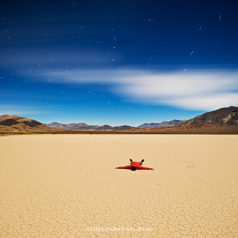
February:  Night on the Devil’s Racetrack, Death Valley national park, California

Another difficult month to choose from, mostly due to a fairly productive trip to Death Valley towards the end of the month.  After having spent the autumn and early winter in Scandinavia and the UK, I was in need for a bit of a change in scenery.  So I headed out to explore some parts of Death Valley national park that I’ve never been to before.

This image is from the Devil’s Racetrack, more commonly know as the location with the moving rocks.  Unfortunately, the above average winter rains had flooded the southern part of the lake where the rocks are, leaving it impassible due to the danger of leaving permanent damage to the fragile area.  Fortunately the northern half of the playa was dry and walkable.  A bit bored, with my planned shooting location off limits, I thought I’d just go lay down in the middle of the lake.  It was quite amazing really, all alone in the middle of nowhere, full moon overhead, cold night temperatures of winter desert, some AM talk station coming out of the radio.  I stayed out there shooting late into the night.

Abandoned walkay in water, Salton Sea, California

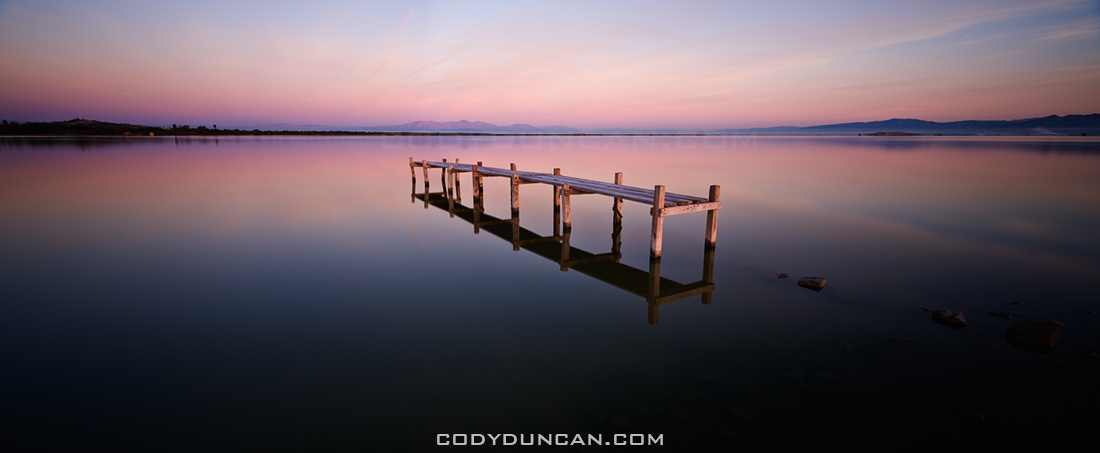
March:  Abandoned dock, Salton Sea, California

My last journey to the Salton Sea was in 2005, or was it 2004? Can’t remember at the moment.  Anyhow, in March, before temperatures became unbearably hot for me, I headed down.  I had been to this location on my last trip, so as I arrived in the dark of early morning I thought I knew where I would be.  How I was wrong.  The sea level was now far lower and the shore nowhere near as I remembered.  Anyhow, as I explored a bit, I found this cool old dock just as the first light of the sun was arriving.

Burnt tree in Mojave national preserve, California

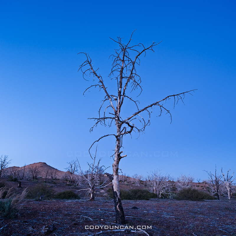
April: Charred tree, Mid Hills Campground, Mojave national preserve, California

In 2005, lightning strikes started the Hackberry fire which swept thought the high desert area of the Mojave national preserve.  On the first night of a 4WD trip of the Old Mojave Road, we camped at the Mid Hills campground which was partially burned.  I’d never been to this area, nor heard about the fire, so It was quite interesting to see a charred desert landscape.

Mt whitney tent

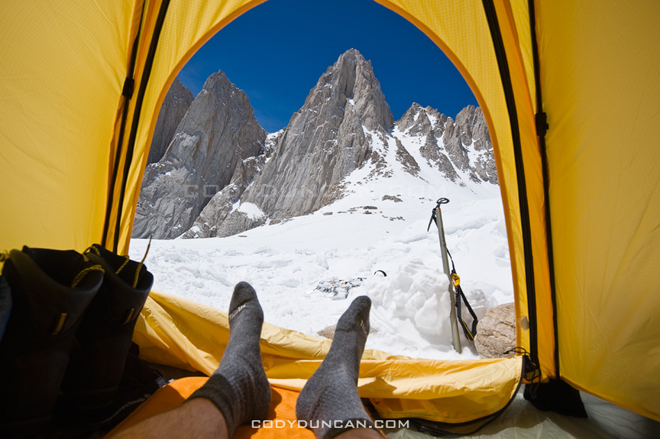
May: View from tent towards east face of Mt. Whitney, Sierra Nevada Mountains, California

Nearly five years to the day of my last trip up Mt. Whitney, I found myself looking at the mountain again.  It was sort of a last minute trip, but everything worked out and I made a successful climb of the mountain.  This is the view from my camp at Iceberg lake towards the east face and Mountaineers route of Mt. Whitney.

Brecon Beacons wales

June:  Stormy weather over Black Mountain, Brecon Beacons national park, Wales

Black Mountain is the westernmost range of Brecon Beacons national park.  Just an image from a less-than-sunny day wandering among the mountains.

Part II July – December: CLICK HERE

Tuolumne Summer Mosquitos

Tuolumne meadows mosquitos summer

With snow once again falling here in Wales today, I thought I’d post a slightly sunnier picture to change things up a bit.  Though this picture actually helps illustrate one of the benefits of winter, no bugs.

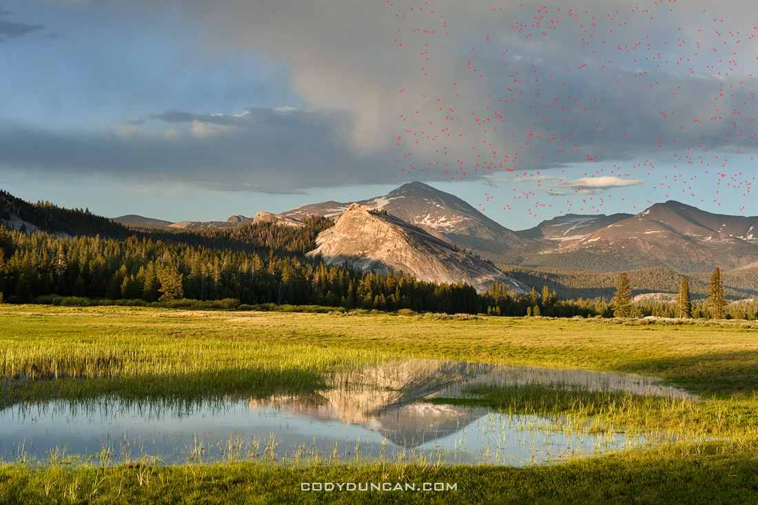
This is from summer in Yosemite’s Tuolumne meadows.  As scenic at the Sierra are in mid summer, I usually stay away until a bit later in the year.  This photo is a perfect illustration of why.  Mosquitos.  It took me a minute to figure it out at first.  I was wondering why my camera sensor was so dirty looking as I was cleaning up the photos from this part of the trip, but it wasn’t a dirty camera/lens.  I’ve gone ahead and put a mark where there was a mosquito somewhere in the photo.  I’ve only done about 1/3 of the image, as it was taking a while, but I think the point is made.  click image to view larger.

Deep Freeze Wales Part II

Brecon Beacons Wales snow november 2010

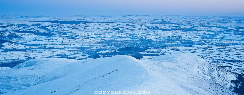
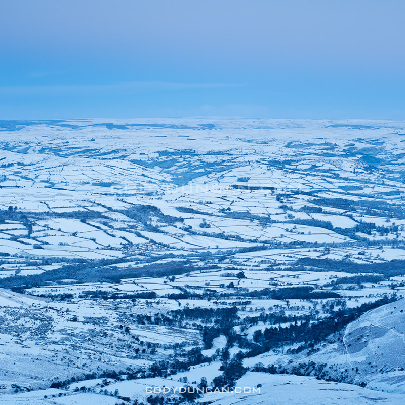
Photo: Frozen Welsh landscape from summit of Pen Y Fan, Brecon Beacons national park, Wales. November 28, 2010

A few more photos from Pen Y Fan and the Brecon Beacons on Sunday.  The last few days have seen the temperature rise to around 0º C with several more snowfalls, but nothing like last week.  Still a very wintry landscape and since they don’t use snow tires (or should I say tyres) here in the UK, they tend to drive like Californians do when it rains; not very well.  Here in the countryside many of the roads don’t get cleared from snow, so it can be a bit difficult to get around.  Almost got stuck up in the mountains on Tuesday on the way back from checking out the waterfalls at Ystradfellte to see if they’ve begun to ice up at all.

Brecon Beacons Wales snow november 2010

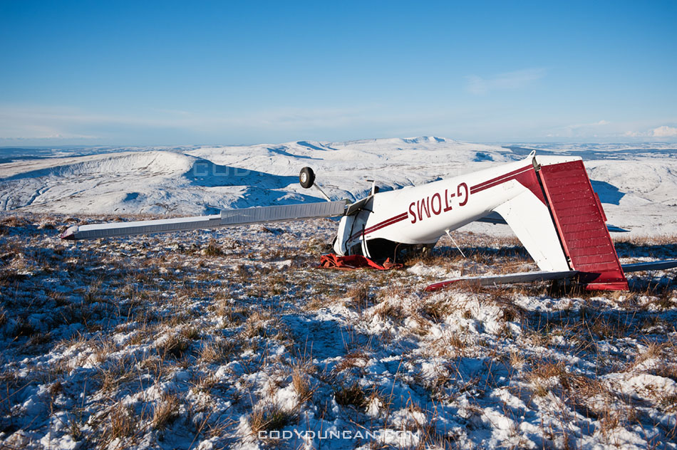
Brecon Beacons plane crash november 2010

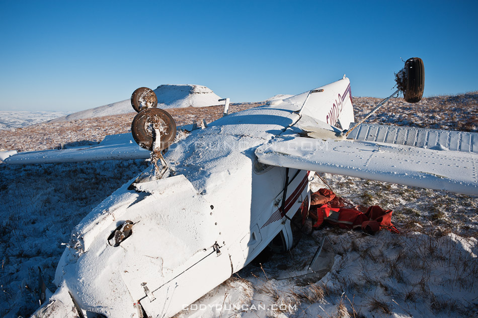
Photo: Small plane crash in Brecon Beacons near Pen Y Fan

On Friday this plane crashed up on the ridge near Pen Y Fan.  Looks bad but apparently the pilot was able to crawl out and walk away.  Pretty amazing.

Brecon Beacons plane crash november 2010

Deep Freeze Wales

Winter view from Pen Y Fan over a frozen Welsh Landscape, Brecon Beacons national park, Wales

Photo: Dawn view from Pen Y Fan over a frozen Welsh landscape in record setting cold temperatures Sunday, November 28 2010

The Russians have been kind enough to send an express delivery of Siberian wind from the east to the UK.  The results sent temperatures plummeting and brought the earliest widespread winter storms since 1993.  Saturday night saw Wales with the coldest temperature in the UK at -17 degrees Celsius, somewhere towards the left horizon of the above photo, about 20 miles north from Pen Y Fan. However I didn’t know any of this when I thought I would head to the hills for sunrise on Sunday.  All I knew was that clear weather was forecast and hoped for a good sunrise.

So instead of taking shelter in a warm house, I set the alarm for 4:45 am; intent on heading up Pen Y Fan for sunrise.  Waking in the darkness of early Sunday morning I checked the outdoor thermometer, -11.5.  Hmm, better take another jacket today.  I hit the trail a little after 6 am, the dawn glow barely visible above the mountains in the east.  It was eerily silent as I walked through the dark and frozen world, the crunching of snow beneath my feet the only sound.  The wind arrived once I hit the ridge and was exposed to the east.  Brutally cold, and a shock for November in what should normally be the mild weathered UK.  A low bank of clouds in the southeast blocked most the color of the sunrise unfortunately, but the views were still amazing and the air amazingly clear.
Winter view from summit of Pen Y Fan towards Black Mountains in west, Brecon Beacons national park, Wales

Photo: View from Pen Y Fan across Brecon Beacons national park towards the Black Mountains in the west

Brecon beacons november UK snow

Photo: Hiker on summit of Corn Du overlooking a frozen landscape

Lofoten Islands Hikes – Justadtinden

Justadtind lofoten islands

Photo: Justadtinden rises in the distance

Lofoten Islands Mountain Hikes: Justadtinden

Justadtinden (738 meters) is the highest peak on the eastern side of Vestvågøya.  An easy and well worn trail through a scenic mountain landscape makes reaching the summit of Justadtinden a relatively easy hike and a good first introduction to the Lofoten islands.  While the summit itself is rather flat and slightly anticlimactic, the 360º view is still something impressive.  When the sun is out and the winds are calm, I imagine this would be a nice place for a picnic on a summer afternoon.
Photo: Winter view from Stamsundsheia. Justadtinden (738 meters) is flat summit on left, Kangerurtinden (704 meters) on right

Getting There

By Car: From north or south, take the E10 to Leknes.  From Leknes, take the 815 towards Stamsund.  After approximately 4km the road rises to the pass at Hagskaret (Where the large building is).  There are two parking options here on the left side of the road (before the building), one paved, one dirt.

From the parking area, take the dirt road towards the large antenna visible a couple hundred meters to the north.  Keep following the road straight.  After passing the antenna building on the right (don’t turn here), the road will soon end and turn into a hiking trail.  There are several trails that cross back and forth, keep in the general direction of the right (east).

Photo: Mountain landscape near Justadtinden

The Trail
From the start of the trail, the summit of Justadtind is approximately 6km away, with 600 meters of elevation gain.  The first half of the trail gently gains elevation while wandering through low hills and ridges.  The second half of the trail gradually increases in steepness (though still quite a gentle grade) and passes through a section of rocks shortly before the summit.  The rocky outcropping that appears as the highest point in the top.

Photo: View from summit of Justadtinden towards Henningsvaer

Camping

There are numerous suitable places for a tent (mostly dry and mostly flat) along the trail, with access to water generally not too far away.  The summit itself is quite flat and large with plenty of room as well.  Depending on the wind direction, several large rocks could provide some shelter from the weather, but as always, necessary caution should be taking if wishing to camp on an exposed summit.  No water available at the top.

Useful Links

Topo map: Search ‘Justadtinden.’

View from Justadtinden, Vestvagoy, Lofoten islands, Norway

Photo: View from Justadtinden towards Himmeltindan

Lofoten islands winter

Photo: Justadtinden hidden behind Kangerurtinden in winter