Lofoten Islands – Autumn 2011 Photos

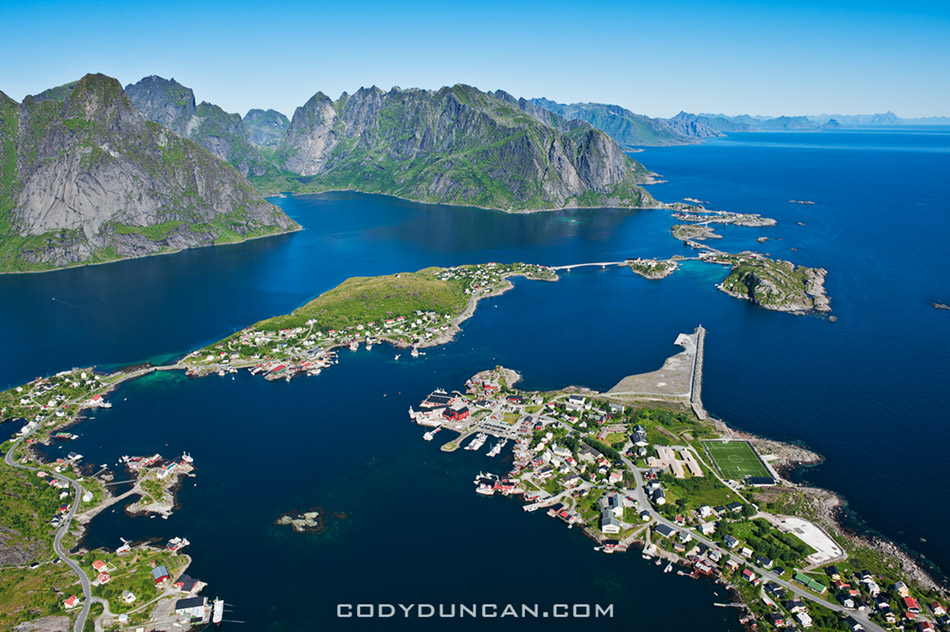
Lofoten islands, Norway

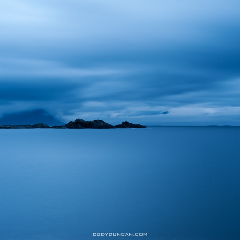
Photo: Dark skies over Vestfjord, Stamsund, Lofoten Islands, Norway.

—-CLICK HERE— To go to the Lofoten autumn gallery.

It’s taken a few months, but I’m finally getting a few photos online (60 so far) from my Sept/Oct trip to the islands.  I’ll keep updating things over the next weeks as well, so keep checking back!

Overall it was quite a stormy, yet warm autumn.  Often there was a southwest wind which brings an awful misty rain much of the time, especially on the days I was hoping to go out camping.  Overall, Norway had the warmest November in 111 years.  There was one brief night of snow a week into October, but nothing like the cold I experienced in 2009.  So no pics of nice snow capped mountains this year.

I found myself struggling against wind and mist or rain nearly every day, often with only brief moments of better weather.  A few days into the trip a big gale arrived that cleared most of the trees of their leaves, leaving the forests mostly barren and ugly looking.   This led me to have a greater focus on seascapes that I was originally intending, but that is how it goes in the north.  And despite the weather, I still managed a fantastic afternoon up on Reinebringen and on my last night conditions were near perfect for shooting the best Northern Lights that I’ve seen thus far.

I often get asked for info about travel and photography on the islands.  My best piece of advice is to give yourself as much time as possible, the islands need lots of it.


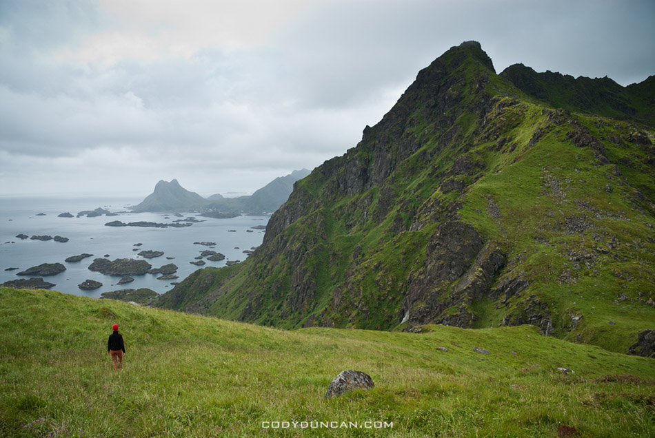
Reinebringen, Lofoten islands, Norway

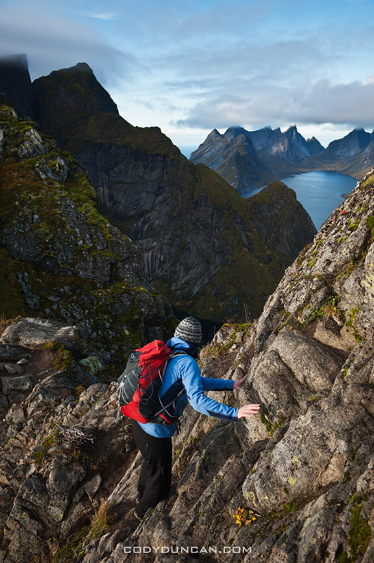
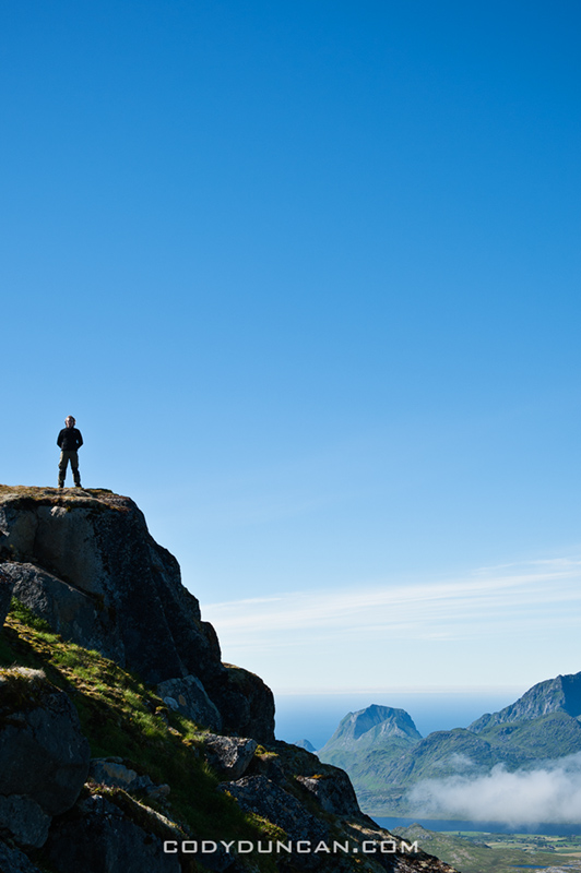
Photo: Hiker on Reinebringen with Kjerkfjord in background, Lofoten Islands, Norway

Mount Rainier

mount rainier sunrise reflection lakes

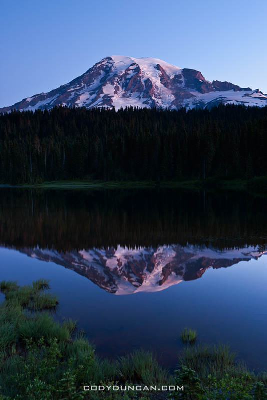
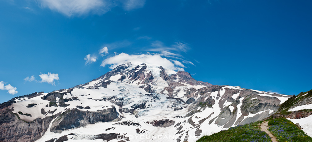
Photo: Mount Rainer at dawn from Reflection Lake, Mt Rainier national park, Washington.

I know better than to show up in a national park without a campground reservation on a Friday, but I had to be back in Portland on Saturday so I didn’t have much of a choice.  I thought that by arriving pretty early there might be something available, but nope, the whole place was reserved.  Oh well, I guess I’d worry about sleeping options later and so I headed up to Paradise to do a bit of hiking.  The perfect summer weather and seeing a few climbers coming down off the mountain made me wish I’d brought my gear with me, but without a partner there wouldn’t be much I could do anyway.  So I had to content myself to wandering around with the crowds of tourists on the hiking trails.

Sunset was boring and uneventful.  And anyhow, summer is not a good time for the south side of the mountain as the sun sets too far to the north for any good light.  I headed off to the overnight hiker parking to sleep in my truck for the night and hopefully not to get a ticket from a ranger.  As the morning arrived I ended up at the Reflection Lakes, along with every other photographer in Washington state.  My jaw kind of dropped as I pulled up alongside the 10-15 cars already there in the morning darkness, and which continued to show up for the next hour.  I’m pretty unfamiliar with the Rainier area, but it looks like I must have found the place to be.  Sunrise was also pretty boring and after an hour of so of getting eaten by mosquitoes it was time to head south towards Portland.

Reflection lakes

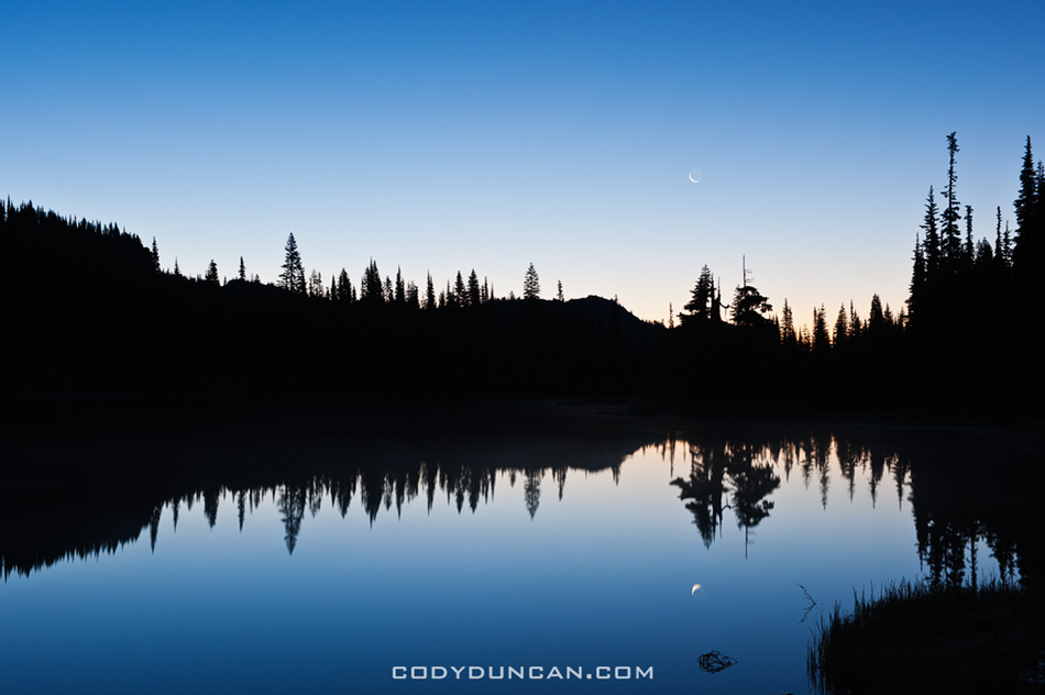
Photo: Crescent moon in Reflection lake, Mt Rainier national park, Washington.


Mount Rainier

Photo: Mt Rainier from near Paradise, Mt Rainier national park, Washington.

Lofoten Islands Hiking

Reinebringen view Lofoten islands

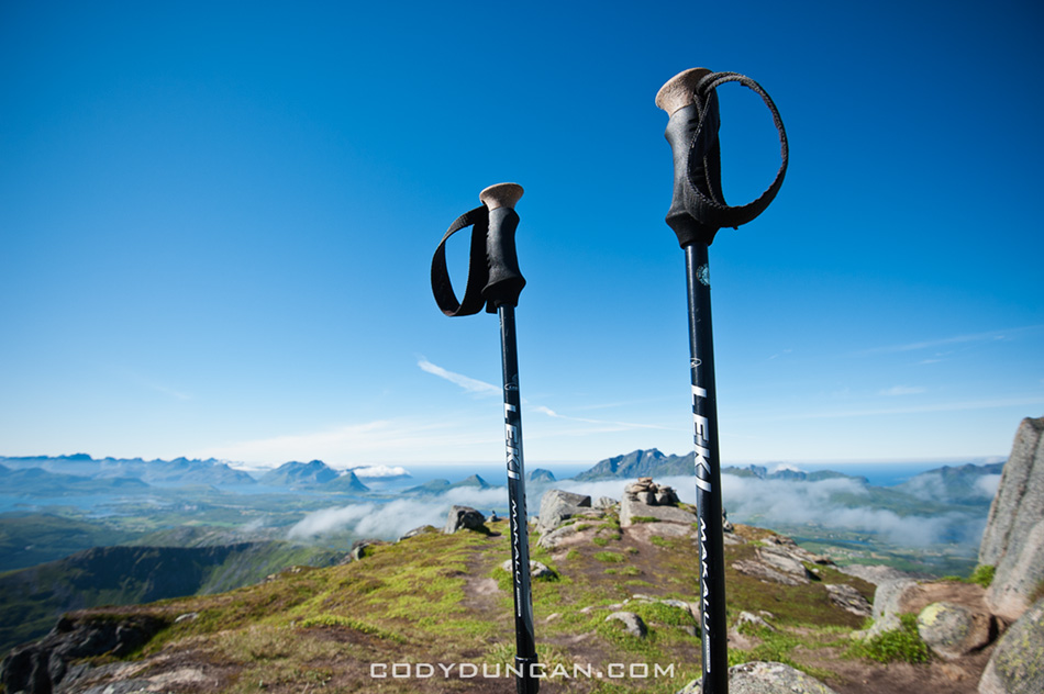
Photo: View from Reinebringen, Lofoten islands, Norway

I’ve written several post about mountain hikes and camping on the Lofoten islands, but they’re a bit scattered across my blog at the moment so I putting links to them all here in one place.

Reinebringen hiking and info: CLICK HERE.  Reinebringen trailhead is located near Reine, on Moskenesoy.

Justadtinden hiking and info: CLICK HERE.  Justadtinden trailhead is located at Hagskaret, between Leknes and Stamsund on Vestvagoy.

Steinetinden hiking and info: CLICK HERE.  Steinetinden trailhead is located in Stamsund, on Vestvagoy.

Bunes Beach camping and info: CLICK HERE.  The ferry to Bunes Beach is located in Reine, on Moskenesoy.


Justadtinden Lofoten islands

Photo: Summer afternoon on Justadtinden, Lofoten islands, Norway


Lofoten islands hiking Justadtinden

Photo: Saviors of my knees, Justadtinden, Lofoten Islands, Norway

Tuolumne Meadows Yosemite

Tuolumne meadows yosemite landscape

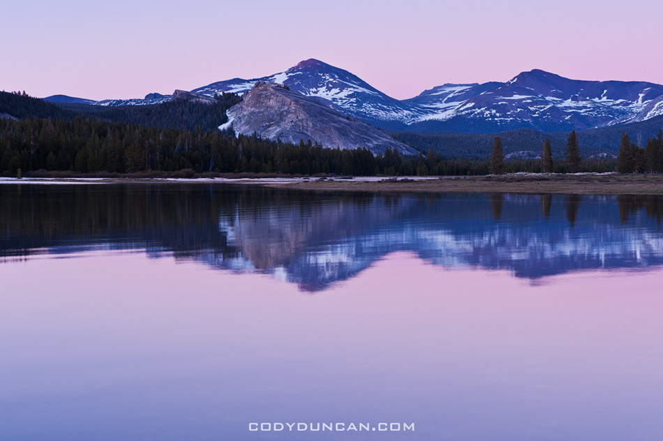
Photo: Sunset from a flooded Tuolumne Meadows over Lembert Dome and Mount Dana, Yosemite national park. June 23, 2011

Over the weekend I was on a short camping trip with my dad and brother.  While I’ve taken trips with each of them individually in the last years, it’s probably been 10+ years since the 3  of us sat around a campfire together.  Highway 120 to Tuolumne Meadows just opened last weekend, so we were some of the first to enjoy summer in Yosemite’s high country this year.  The sky was cloudless and the sun was hot.  Snow seems to be melting quite fast and the river are quite big at the moment.  These first two photo’s show the current conditions of the meadow which is quite flooded at the moment.  Mosquitoes still haven’t arrived in the high country, but were quite viscous at the campground.

It wasn’t really a photo trip for me so I didn’t shoot too much.  Though I still managed to get myself up at 4:00 am on a couple days and go looking for images.  Didn’t end up with anything interesting.

Tuolumne meadows yosemite landscape

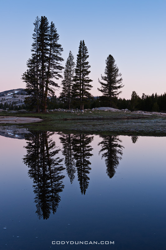
Photo: Sunrise from a flooded Tuolumne meadows, Yosemite, California.

Tuolumne meadows yosemite landscape

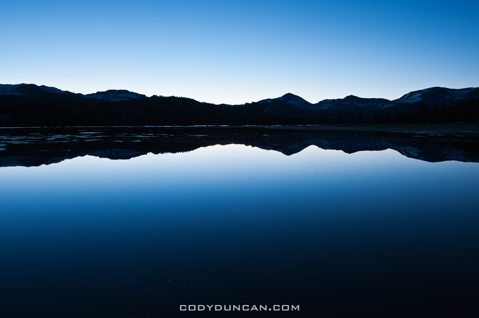
Photo: Dawn reflection on Tuolumne Meadows, Yosemite, California.

Lofoten Islands Hiking – Steinetinden

steinetinden, stamsund lofoten islands norway

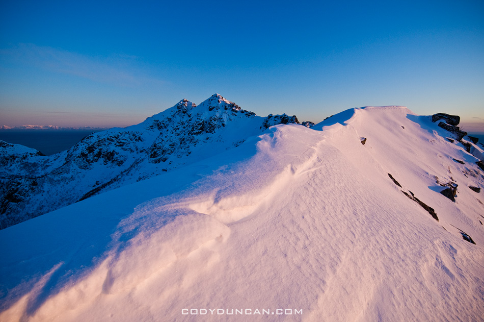
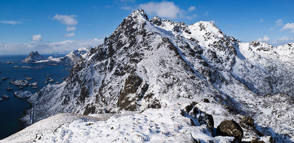
Photo: Winter view from Stamsundheia towards Steinetinden in distance.  Mar 2009

Steinetinden (sometimes called Steinstind, Steinstinden) is a relatively small 509 meter high peak located between Stamsund and Steine on Vestvågøy in the Lofoten islands.  By Lofoten standards its not anything spectacular.  The main attraction of the peak is its close location to the Stamsund youth hostel, about a 5 minute walk across the street for the beginning of the trail.  If you have access to a car, I would recommend setting you’re sights on more aesthetic peaks.  If you just got off the Hurtigruten in Stamsund, are lucky enough to have some fair weather, then Steinetinden is the perfect introduction to what the Lofoten Islands have to offer.  The views aren’t bad, just not as good as elsewhere on the islands.

Location:
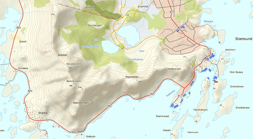
Steinetinden is the highest peak along the circular mountain ridge towards the east of Stamsund.  The most direct and straight forward way is walk up ‘Ringveien’ street which is located across from the Joker market.  From Ringveien one has several options.  One way is to turn on Halsbakken street and continue walking east towards the mountain.  When you see a yellow house with what looks like a parking area  for 2-3 cars in the street before it, head into the bushes at the back of the parking area.  You should detect a faint and probably overgrown trail.  This way will take you up and over Mannfallet first.

Otherwise, from Ringveien take the pathway into the forest at the back of the road that heads towards the lakes (this is also the cross-country ski route in winter).  After several hundred meters on the trail, there should be a sign and a small trail coming from the left.  Once on this trail, there are also two options when one comes to the fork.  Towards the left takes one up the middle peak of Mannfallet (308 meters), towards the right the trail continues through the forest and up a steep, often muddy trail towards Steinetinden.  Personally I think hiking up Mannfallet first is the more scenic route, and even slightly easier.  I generally save the steeper, more direct route for the way down, to make a bit of a loop out of things.

Whether going over Mannfallet first or heading direct towards Steinetinden you will eventually find yourself in a flat grassy area between the two peaks.  From here the trail steeply climbs about another 150 meters up to the summit of Steinetinden.

A word of caution:
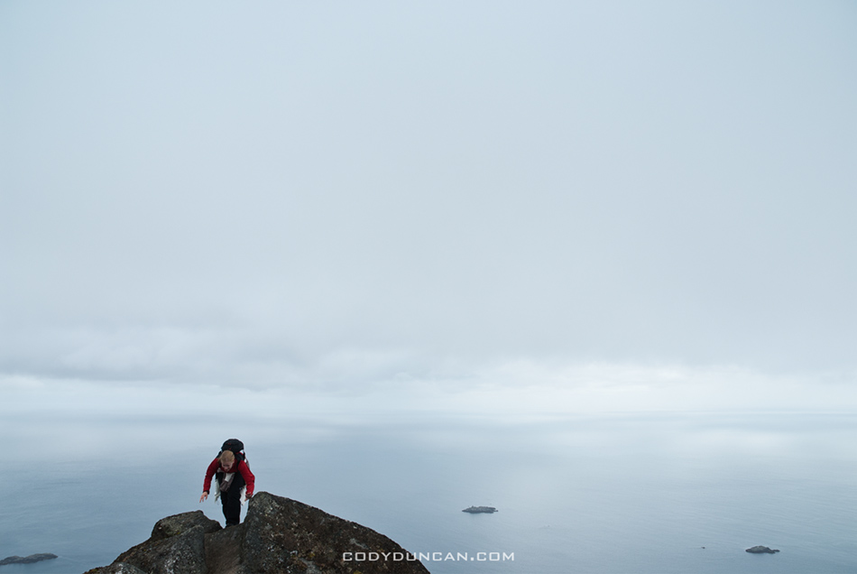
while for the most part the trail is not anything technical, there are several locations where it passes quite close to high, steep cliffs and one is exposed to a possible fall of 400-500 meters.  In wet conditions the trail can also be quite slippery/muddy.  There are also several short rock steps that need to be negotiated, again with some exposure to a possible long fall. Go with a group of people if possible, and especially if you’re new to mountains.  Be sure to have proper footwear and don’t be afraid to turn around if necessary.
steinetinden, stamsund lofoten islands norway

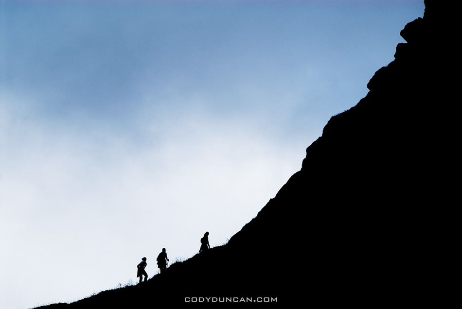
Photo: Final climb towards summit.  July 2006
steinetinden, stamsund lofoten islands norway

Photo: Summer view from Manfallet towards Steinetinden.  July 2006
 

steinetinden, stamsund lofoten islands norway

Photo: Spring view from Mannfallet towards Steinetinden.  April 2007
steinetinden, stamsund lofoten islands norway

Photo: A bit of exposure near the summit.  July 2006
steinetinden stamsund lofoten islands

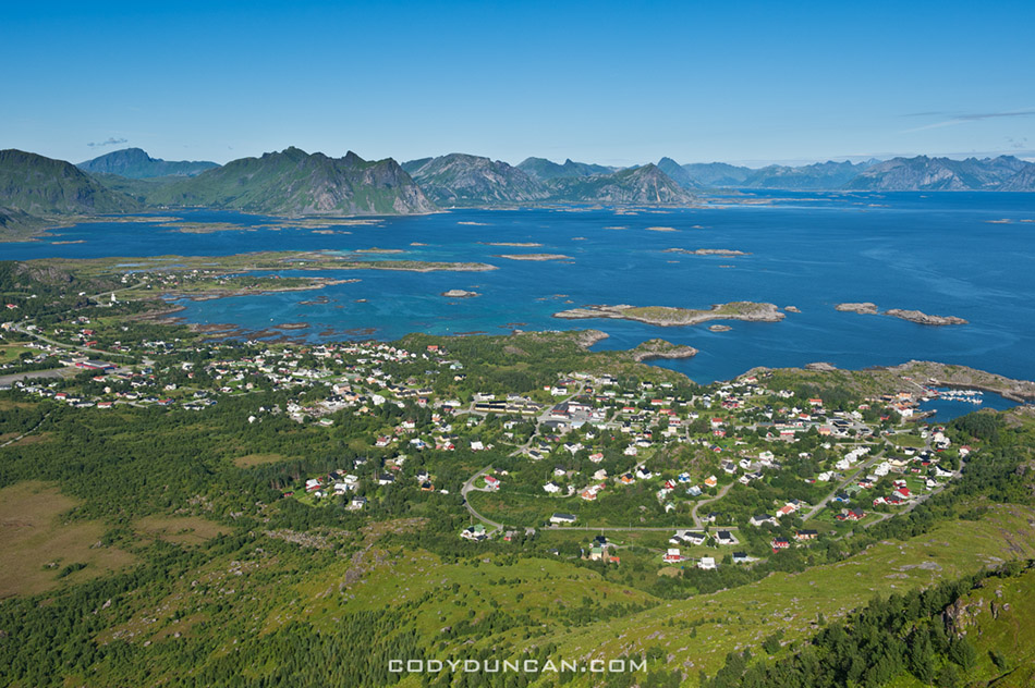
Photo: View of Stamsund from summit. Aug 2010
map

Sgurr Mhairi – Isle of Skye

Sgurr Mhairi - Glamaig and Red Cuillins in winter, Isle of Skye, Scotland

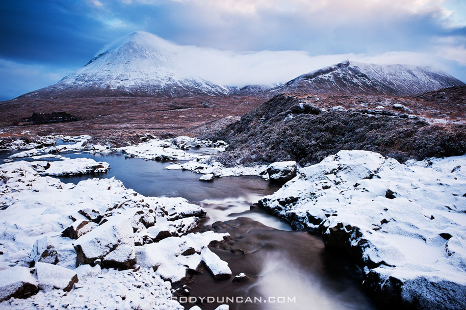
Photo: Winter view towards Glamaig – Sgurr Mhairi and Red Cuillin hills, Sligachan, Isle of Skye, Scotland. Jan 2011

Some years back I was making my way down Glamaig, back towards Sligachan to hitch a ride back to Portree.  I’m not sure if I was on a people trail or a sheep trail, the latter I think, when I came upon some more-than-normal-looking boggy section.  After a quick estimate, I set myself up to jump across most of it, figuring I’d end up a little above my ankle in mud, but would otherwise avoid too much of a mess.  Ha!  I ended up nearly to my waste as my leg plunged into the bog.  My momentum, and the unexpected depth of my step took me flying into the ground on the other side of the pit.  Quite lucky really, as I could have ended up totally submerged.  Once back at Sligachan, I was left to wash off as best I could in the river before attempting to catch a ride up to Portree.  Luckily it was getting near dark so my true state couldn’t be seen and a ride came along after not too long.

Lone Pine Peak

Lone Pine Peak winter panoramic

Photo: Winter dawn on Lone Pine Peak, Sierra Nevada Mountains, California. Feb 2010

Failure

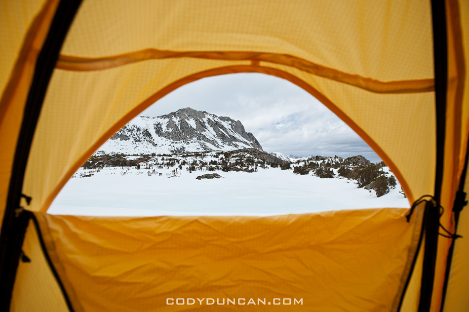
view from tent in winter

Well, it’s Tuesday and I’m back in Santa Barbara instead of up in the mountains.  Had a bit of a technical problem, compounded by a stupid oversight on my part, which forced me to call off the mountain.

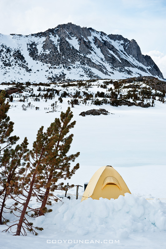
The problem, my stove didn’t work.  No stove in winter camping means no water to drink.  A bit of an issue.  Ya, that’s a frozen lake in the foreground of the above photo, but it wouldn’t have been the smartest decision in my life if I had tried get get water out of it.  The stupid mistake on my part was that I didn’t bring a lighter/matches – which I normally always have in my bag, but I had to take everything out when I last flew, and I guess things never made it back in.  Now the stove is supposed to be self lighting with one of those ‘clicker’ things, but being a new one, I never tested it out at 12,000 feet, where it apparently doesn’t work.  Started up just fine once back down in the valley.  Stupid me…

Had it been sunnier, I would have tried putting my water bladder on top of my snow shovel (black) to maybe get some heat radiation to melt some snow; likely not enough to continue the climb, but at least for a less thirsty night/hike out.  My best attempt  was to fill up a small bottle with snow at keep in next to my body under my jacket.  Managed to get a couple sips for the morning at least.  I wasn’t in that far, so I didn’t have any worries about an ‘epic,’ just more anger at a situation I could have easily avoided.

I could have gone back in the next day, but I sort of lost my motivation for suffering.  Spent the afternoon bouldering at the Buttermilks, but I still wasn’t feelin’ it.  I’m a bit distracted at the moment with trying/hoping/figuring out how to get a work visa for Norway, which isn’t looking all that hopeful, unfortunately.  If I had $20,000 sitting around, I might qualify for a 6 month ‘skilled migrant job seeker’ type visa, but I’m a little poor for that.  At the beginning of the year I had hoped to be in Lofoten by June where I want to work on a book project over the course of a year, as well as run some photo workshops/tours for more adventurous types.  Not just the walk 10 feet from the road type stuff, but camping in the mountains and longer hikes, more of less what most of my own travels are.  I basically want to be some sort of photo/travel ambassador for the Lofoten islands as anyone who’s ever been knows it’s the coolest place in the world!  More thoughts on this later, I’m still hoping that I can pull something off, somehow, someway…

On the bright side, at least I walked away less sunburt than normal.

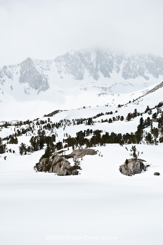
sierra nevada mountains winter landscape

sierra nevada mountains winter landscape

winter camping sierra nevada mountains

Mount Whitney

mount whitney sunrise panorama

Photo: Mt. Whitney sunrise. Feb 2010

I’m heading up for a week or so in the eastern Sierra today.  Maybe try and bag a few peeks depending on weather, or just be lazy and enjoy some bouldering in Bishop.   I guess it depends on the weather…

Buchaille Etive Mor

Buachaille Etive Mor in winter, Glencoe - Rannoch Moor, Scotland

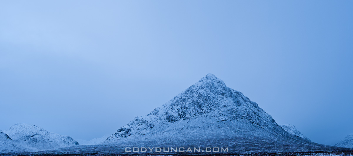
Photo: Buchaille Etive Mor, Glencoe, ScotlandJan 2011

On the eve of what would be an epic snow storm…