Raftsundet – Lofoten and Vesterålen

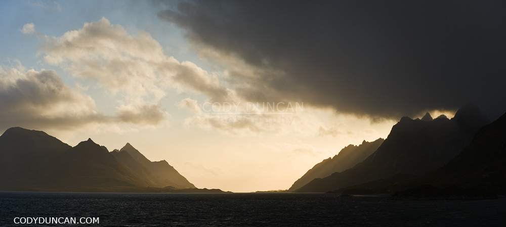
Raftsundet panoramic photo, Lofoten islands, Norway

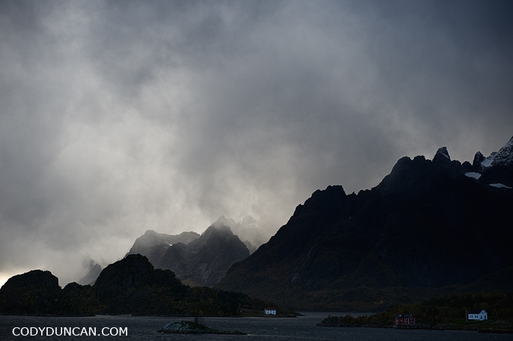
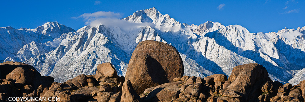
Raftsundet – The mountains of Hinnøya on the left, Austvågøya and Lofoten on the right.  In simple terms, the Raftsund straight is the geographic border between the Lofoten Islands district and the Vesterålen district, though the southern section of Hinnøya belongs to Lofoten and the northern part of Austvågøya to Vesterålen.  Photo from September 2009 while traveling aboard the Hurtigruten to Stamsund.

Hiking the Kungsleden Trail in Autumn

Hiking the Kungsleden trail in autumn.
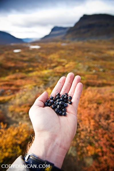
wild blueberries, autumn, Kungsleden trail, Sweden

I hiked solo on the northern section of the trail for 10 days from September 16-26 2009.  Here are a few FAQs and bits of info that may be useful to any travelers heading to the area at this time of year.

All the huts/Fjällstations/hostels along the trail are run by the STF (Svenska Turistföreningen) Swedish Tourist Association.

The STF website can be found here.

The Website will have all current info on opening/closing dates of the mountain huts, as well as some maps and other info such as services provided at each hut (ie. show up to Alesjaure a bit early and relax in the sauna)
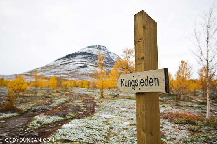
sign kungsleden trail sweden

The Huts are closed:

The huts close towards the end of September (19/9/2010).  What this means is that there will be no staff on hand, no food can be purchased, and the gas stoves will be turned off.

At least on the northern section of the trail, between Singi and Abiskojaure, all of the huts have an ‘emergency’ room (säkerhetsrum) that can be used.  These rooms vary in size and the number of beds available:

Abiskojaure – 2 beds
Alesjaure – 4 beds
Tjäktja – 2 beds
Sälka – 9 beds (big, pretty much a full size hut)
Singi – 1 bed (enough room for 2 people on floor)

Access to the wood shed, a saw and axe should be available (though I couldn’t find a saw at Alesjaure) and all the shelters have wood burning stoves which provide plenty of heat after a cold, wet day on the trail.  Water buckets for fetching fresh water, cooking and cleaning supplies are also provided.  One or two toilets will also be left unlocked.   There might be a small amount of leftover food available, but don’t depend on it.  Be sure to bring enough for the entire trip.
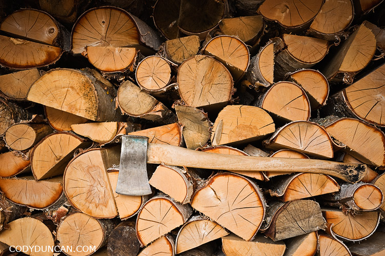
Axe and wood in Shed at hut, Kungsleden trail, Lapland, Sweden

Besides the proper STF huts, there are also several primitive shelters at several points along the trail.  These typically consisted of a single room with wooden benches along one or two walls.  Some have wood burning stoves, yet by the end of the season, there was no more wood available.  Still, if the weather is bad, better to be inside and out of the wind, even if a little cold.

Weather:
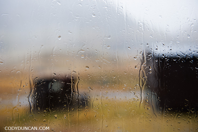
View of rainy window at Salka hut, Kungsleden trail, Lapland, Sweden

My experience from September 2009 was of predominately cold weather and strong winds.  Snow fell on several days and rain on the rest, so most of the snow that fell would be gone from the trail by the next day or two.  The temperature dropped down to about -8˚ C  on the coldest morning.  While the average day was about 3-5˚ C.   7˚ C was the warmest day I experienced.  From talking to others I seemed to get the impression that this was an unusually cold September, but one should be prepared for such conditions.  It is the Arctic and any weather is possible.
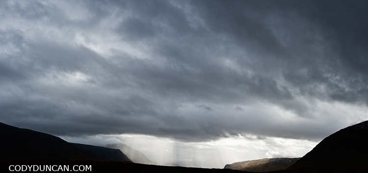
Kungsleden trail autumn rain storm sweden

Will I be alone?

Though the crowds of summer will be gone, one will not likely be totally alone on the trail.  With the exception of one night at Singi, there was always one or more people at the hut each night and I would cross 1 or 2 groups on the trail each day heading in the opposite direction.

Transport:

The Kiruna-Nikkaluokta-Kiruna bus to the trailhead of Kebnekaise Fjällstation stopped running when the huts closed, which would be 19th Sept for 2010.  There was a private taxi available, but for quite a fee.  So if one is starting late in the season, it might be better to enter the trail at Nikkaluokta and head north to Abisko as opposed to the other way around – Which is what I did and ended up walking all the way back to Abisko again.

Access into and out of Abisko is not a problem, as the train runs year round. The Abisko Turiststation hostel closes on 26th of Sept, 2010, though there are several other  possibilities for cheap accommodation in Abisko village, or just simply camp a little ways out of town.

The trail:
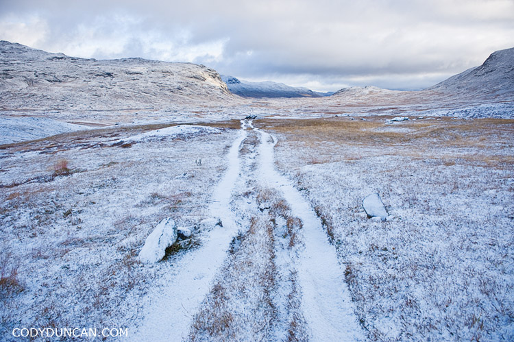
kungsleden trail Sweden september autumn snow

Even under 10-15cm of snow, the trail was alway easy to follow.  The high point, Tjaktja pass, is rocky on the north side and without a proper ‘path.‘  It could be a bit tricky as the rocks are quite slippery and hard to see under a medium amount snow, though it is not a long distance between the pass and Tjaktja hut.  The trail itself, as long as one has a map and knows how to navigate, would be hard to lose as it basically follows a series of valleys north to south.  And there are a series of markers for the winter trail that are easily visible, though these do not always follow the proper summer route.
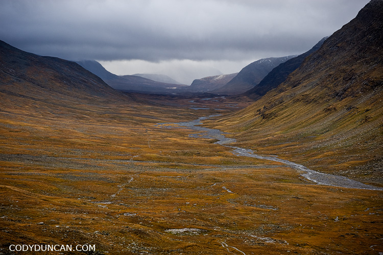
kungsleden trail Sweden Tjaktja pass

kungsleden abisko national park sweden

Why go in the autumn and not summer?

No mosquitos.
No crowds.
The color is amazing.
You like the cold.
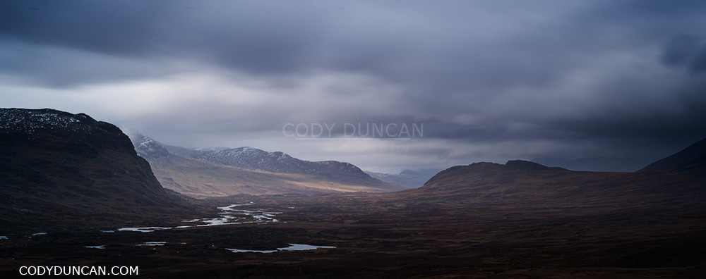
Kungsleden trail sweden mountain landscape

Reine – Lofoten Islands

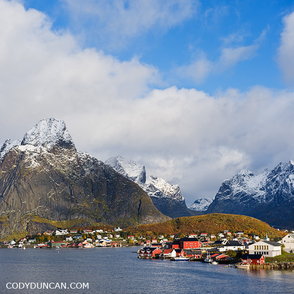
Landscape photo Reine in Autumn, Lofoten Islands, Norway

Autumn, Reine, Lofoten Islands, Norway.

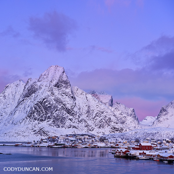
What a difference two months make can make to a scence.   The Lofoten Islands have become somewhat of a long term project of mine.  I was there 3 times in the last year alone and have a rough plan to be back again in July, as I haven’t been there during summer since 2006, so I need some better coverage of the islands during that time of year.  So far I’ve been there in: January, March, April, May, July, August, September, and October.  So I’ve still got a few months to fill in.  And one might think what difference does a month or two really make, but with a place in the far north, there are quite dramatic changes in scenery as the year passes on and I think all of it is interesting to see.

Reine in Winter, Lofoten Islands, Norway

Reine in Winter, Lofoten Islands, Norway.

Glenbrittle and Black Cuillins

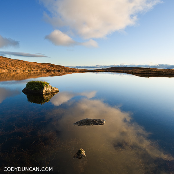
Reflection in lochan, Black Cuillin hills, Glenbrittle, Isle of Skye, Scotland

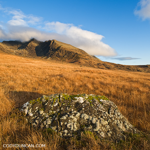
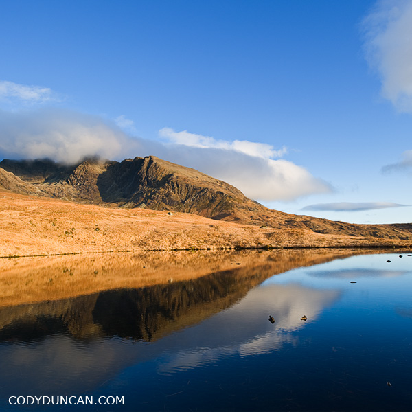
Pleasant autumn afternoon wandering around down in Glenbrittle, Isle of Skye, Scotland.  Glenbrittle is probably one of my favorite places on the island, both the the view and access to the Black Cuillins as well as the coastal hiking.  This was generally my go to spot whenever I thought the sun would shine for more than a few hours – which isn’t all that often in November.

Black Cuillin hills as seen from Glenbrittle, Isle of Skye, Scotland

Reflection in lochan, Black Cuillin hills, Glenbrittle, Isle of Skye, Scotland

Mount Whitney Mountaineers Route

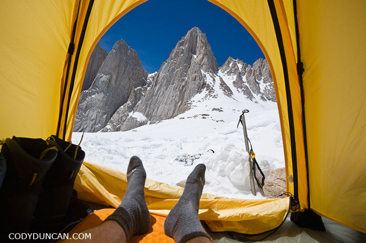
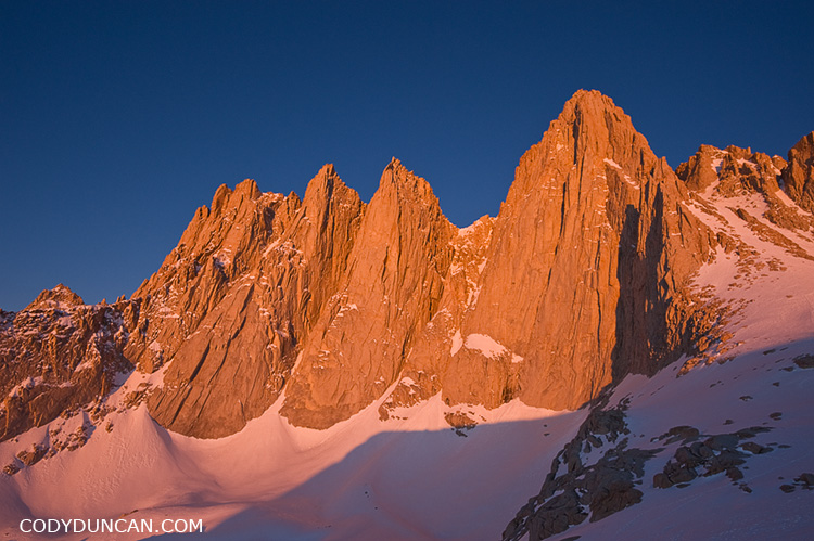
Adventure travel stock photography - View from tent to Mount Whitney, California

View from my tent at Iceberg Lake, about 12,600 feet, towards the east face of Mount Whitney (and my smelly socks).

Sort of at the last minute I decided to make a quick trip up Whitney this past weekend before all the snow melted and before I leave California again (somewhat soon).  Weather was sunny the whole time but the winds were quite strong.  I’d estimate it reached 60+ mph on Sunday when I was on the summit.  I didn’t even bother bringing the camera out as there was so much snow flying around.  On the way up, whenever a big gust would come up, I would just have to lean into the mountain as I received a battery of snow and ice and rock for a minute or two, then climb on again. Good fun.

Mountain landscape photography - East face of Mount Whitney sunrise


Mount Whitney Mountaineers Route – Images by Cody Duncan

Elgol – Isle of Skye

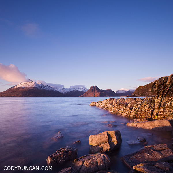
Travel stock image: Rocky coast at Elgol with Cuillins in background, Isle of Skye, Scotland

The rugged and rocky coastline at at Elgol with it’s view back towards the mighty Black Cuillins as they rise from Lock Scavaig is one of the more iconic photo locations on the Isle of Skye.  As long as one is willing to gamble on good weather, it is well worth the long drive down the winding single lane road.

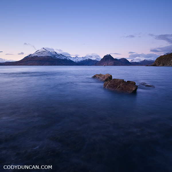
Snow covered peak on the left is Gars-Bheinn at the start of the famous Cuillin ridge.  Sgurr na Stri is the lower, snowless peak towards the center.  To the left of that sits Loch Coruisk, another marvelously scenic, and isolated, place and Skye.  There is a nice hiking route that starts in the north at Sligachan and passes by loch Coruisk and then around the coast under Sgurr na Stri to Camasunary and eventually finishing here at Elgol.

One of my stupider moments in life happened along the coast under Sgurr na Stri.  It had just finished raining ( = slippery rocks), I was trying to eat a piece of chocolate while at the same time messing with my camera to take a picture of Bla Bheinn rising above the Camasunary bothy.  Well, I slipped and ended up upside down; nothing bad, just a little ‘oops’ moment.  Not wanting to drop my camera on the muddy ground, I couldn’t use my hands to get myself up.  And not wanting to drop the piece of chocolate in my mouth that I had been munching on, I couldn’t talk clearly enough to ask my friend to pull on my backpack to help me up.  So was upside down with my backpack on top of me and unable to move.  Totally stuck, but only because I didn’t want to drop my camera or chocolate.  Finally my friend came to the rescue after a moment of wondering if I was practicing some new form of mountain yoga.  Luckily there was only two of us to witness this event.

Landscape stock photography - Elgol and Black Cuillin, Isle of Skye, Scotland

Alabama Hills – California

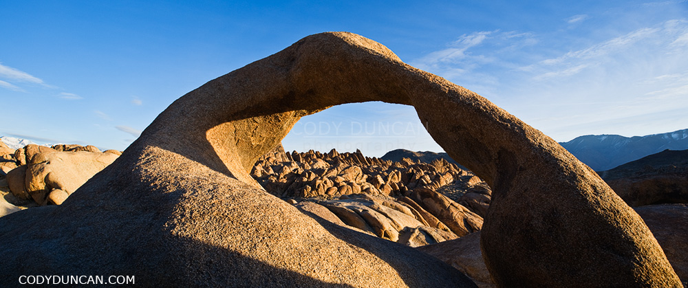
Mobius arch at Alabama Hills, near Lone Pine, California

Mobius arch, Alabama Hills, Owen’s Valley, California

I think one of the coolest things about the Alabama Hills is that no matter how many times one has been there, there is always something new to photograph.  Be it exploring some new area, different weather, or different time of year. The hills and mountains are always changing.  One of the reasons it is one of my favorite places to go.

Granite rock formations of Alabama Hills with Lone Pine peak and Sierra Nevada mountains in background, California

Granite rock formations of Alabama Hills Sierra Nevada mountains in background, California

Lone Pine Peak

Lone Pine peak and Sierra Nevada mountains panoramic image

Lone Pine peak in dawn light, Sierra Nevada Mountains, California.

Mount Whitney Sunrise

Mt. Whitney and Sierra Nevada mountains, California panoramic landscape photo

Winter sunrise over mount Whitney and the Sierra Nevada mountains as seen from the Alabama Hills, California.

This is a location that is better photographed in winter/early spring.  Besides it not being 110˚ F as it can be in summer.  The main reason is that the winter sun rises further towards the south, which creates better patterns of shadow and light on the mountain ridges than occur in summer.  And then there’s always something nice about the day’s first light on freshly fallen snow.  I find in summer this scene can also appear slightly ‘tired’ and dry, for lack of a better description.

Lofoten Islands Winter Photo Gallery

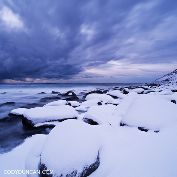
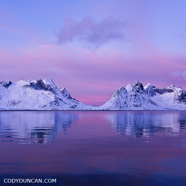
Lofoten islands winter photo gallery: click here.

In early January I traveled north into the Norwegian arctic in search of the polar night.  At 68 degrees north, I was unfortunately too low and too late for a true polar night, finding only the ‘polar twilight.’  Twilight would begin around 9:30 AM and last until around 3:00, all other hours of the day I would consider to be night and stars were visible.  It was actually far brighter than I was expecting when the sky was clear, the day being essentially a 4 hour long sunrise/sunset all merged into one before the night’s darkness arrived again.  Needless to say, I got a lot of reading done.

Since there are no tourists to the islands at this time of year and no hostels are open I was left to sleep in my (tiny) rental car as best as I could.  Which wasn’t very good.  Only having a 0˚ C sleeping bag and temps down to -7-8˚ C ensured for some cold nights.  I felt like some contortionist trying to fit inside the car to sleep.  I could fold the back seats down, but there was no possible way for me to get even somewhat comfortable.  Better than an airplane seat, yes, but the cold and my lack of a proper sleeping bag would mean that if I didn’t maintain good blood flow to my feet, they would become super cold.  On one of the nights it snowed so much that I could hardly get out of my parking area in the morning.  Only twice did I get the car stuck in the snow.  Once having to track down some dude in a tractor and ask him for a tow.  His comment, “You’re not the first one today.”  Second time a car full of the young guys came along after about an hour and helped push the car out.  I tried to be more cautious after that but still managed a few close calls.

I was fortunate enough for one day of good weather.  The remaining days I would classify a somewhere between bad and ‘I wish I had a warm house to sit in and some decent food to eat and not be stuck in this freezing car being rocked about by the wind and buried under snow.’

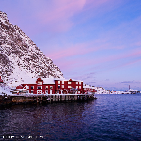
Å I lofoten, Lofoten islands, Norway. Winter travel photography