Hiking Gear Packlist For Lofoten Islands Norway and Kungsleden Trail Sweden
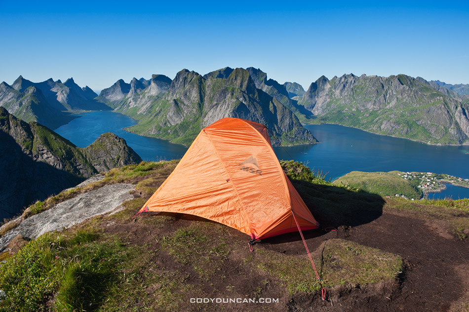
Lofoten Islands Norway mountain camping Reinebringen

Photo: Camping on Reinebringen, Lofoten Islands, Norway.  July 2010

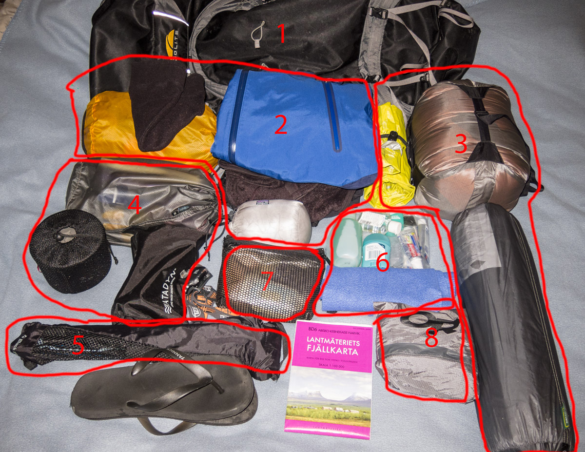
Backpacking gear 2012

Photo: Backpacking gear 2012

Backpacking gear list for travels to Lofoten Islands, Norway and hiking the Kungsleden trail, Sweden.

Here’s a quick rundown of the gear I’m taking with me on my travels this year.  First part is 2 weeks of late summer on the Lofoten Islands – a mixture of camping and hostels.  Next is camping at a festival in Germany for a few days.  This is followed by 10 days of hut-to-hut hiking on the northern section of the Kungsleden trail in northern Sweden.  Then I’m back to the Lofoten Islands again for another 2-3 weeks of chasing autumn storms; I’ll probably mostly stay in hostels this time around, but maybe a night or two in the tent if I get a good forecast.   Finally I’ll slowly head south. I’ll probably hang out in Stockholm for a few days and then head down to either Germany or Poland for a few weeks before flying back to the UK.

1 – Backpack
Golite Odyssey – 1.6kg/47oz – 90 Liter

2 – Clothing
Shell Jacket – Mountain Hardwear Trice jacket 489g/17oz
Shell Pant – Marmot Minimalist pant 292g/10.3oz
Insulation 1 – Patagonia R2 fleece 371g/13.1oz
Insulation 2 – Patagonia Ultralight down shirt 167g/5.9oz
Pants – Mountain Hardwear Nima pant 607g/1.5lb
Shorts
T-shirt – 2 cotton, 1 synth
Socks – 3 pair
Underwear – 3 pair
Gloves
Beanie
Sandals (for hostel showers)
Shoes – Montrail Mountain Massochist II Outdry

I’m trying something new with clothing this year.  I probably have mentioned several times that I don’t really like hard shell jackets, as I often get way too hot in them until the temperature drops a few degrees below freezing.  But from my wet, cold, snowy, windy experience on the Kungsleden trail in the autumn of 2009, I think a shell jacket will make sense (of course with my luck, every day will be 15˚ C and sunny.  Not that I would complain!)  My reasoning is along the lines of: Most days I will need to wear a fairly weather resistant jacket while hiking.  If I were to wear something like a soft-shell or Marmot DriClime windshirt, I would still need to carry a rain shell anyhow, albeit a light one.  So I might as well just hike a heavy duty rain shell and avoid carrying the extra couple hundred grams of a second jacket.

I’m also going without a second pair of ‘normal’ pants, instead taking only a second shell pant.  This will also help to save a bit of weight.  For my normal day to days pants, I chose something a bit warmer, so again, I hope I don’t overheat.

For footwear I’m going with waterproof trail runners.  It’s possibly a bit risky and I’ll likely end up with some wet feet at a few points, but since I’ll probably be staying most nights in the STF mountain cabins, and with a warm fire to dry everything off, I don’t think it will be a problem.  If I knew I was going to be in a tent the whole time, I would definitely take a lightweight waterproof boot or mid level shoe.

3 – Sleeping
Tent – Big Agnes Fly Creek 2 Platinum 992g/35oz
Sleeping Bag – REI Sub Kilo -7˚C/20˚F  820g/29oz
Pad – Thermarest NeoAir 397g/14oz (old version)

The only new addition here is the tent.  It’s 2 person and lighter than the old 1 person tents I used to carry.  And costs a hell of a lot of money!  The sleeping pad is a bit heavier than if I were to take a foam one, but the savings on space, as well as added comfort, is worth it for me.  The sleeping bag should be plenty warm.

4 – Cooking & Food
Stove: Primus TiLite + Titanium pot (.9l) – 9 oz.
Water filter – Katadyn mini
Food
Fork and Spoon

5 – Trekking Poles
Black Diamond Ultra Distance 297g/10.5oz

6 – Hygiene
Toothbush/toothpase
Camp soap (multi-use)
Camp towel
Hand cleaner
Deodorant (only because I feel sorry for anyone who has to sit next to me on a train/bus/plane if I haven’t showered in a few days)

7 – First Aid Kit

8 – Rain Cover

I’ve also made these gear list for the past couple years:

-CLICK HERE- for my list from 2010 for a few weeks in Lofoten Islands and central Norway in summer.
-CLICK HERE- for my list from 2011 Autumn/Winter in Lofoten Islands and northern Europe. It was similar to this trip but with more time in cities and no long distance hiking.
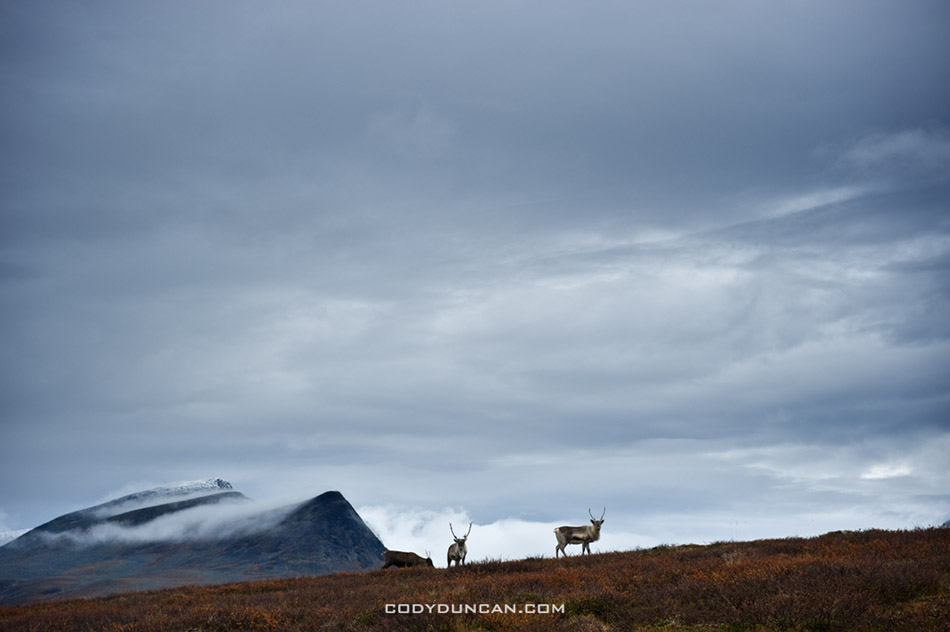
Reindeer in mountain landscape, Kungsleden trail, Lapland, Sweden

Photo: Reindeer, Kungsleden Trail, Sweden.  September 2009

Lofoten Islands – Germany – Kungsleden Trail – 2012 Europe Travel Plans

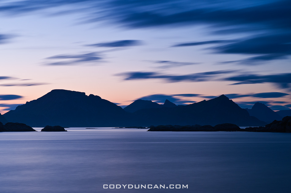
Summer twilight over mountains of Lofoten islands, Stamsund, Norway

Photo: Twilight over Lofoten Islands, Stamsund, Norway.  July 2010

I’ve finally finalized my travel plans for Europe for late summer and autumn.

First stop: Lofoten Islands.  I fly north of the arctic circle to Bodø, Norway on August 20th.  From Bodø I’ll catch the late night ferry to Moskenes, arriving to Lofoten in the early morning of the 21st for a 2 week trip to the islands.  I’m traveling a bit later than I had originally planned, but the summer has been pretty cold and wet so far, so I don’t think I’ve really been missing much.  Hopefully I’ll get a few days of decent weather so I can get up a few mountains and maybe a few nights camping on the coast.

In early September I leave Lofoten for a quick trip down to Germany to see a few bands play at the Festival-Mediaval in the small town of Selb, in northern Bavaria.  I was there in 2010 and had a good time.  I can already taste the Flamkuchen and Käsespätzle.  Should be good fun.

Next I’m flying back north of the arctic circle to Kiruna, Sweden for my second journey along the northern section of the Kungsleden trail.  Lasts there three years ago in 2009, I’m looking forward to another week wandering among the rugged mountains of the Swedish arctic.  Hopefully the weather is a bit warmer than my last trip; fingers crossed.  I was originally thinking of heading into Sarek national park, but I’m going to be a bit short on time, so that will have to wait till another year.

After a week or so on the Kungsleden, I’ll head back over to the Lofoten Islands for another 2 weeks to photograph the autumn color; again, weather dependent.

By mid October I’ll be looking to head south again.  Here things aren’t so planned out.  I love Stockholm in the autumn, so might head back there for a few days.  I also have Gotland on my mind as well.  I almost went there way back in 2001, so maybe it’s finally time.  Otherwise, and if the weather is cooperating, I might spend a week or so in the western fjords region of Norway, trying to get a bit more autumn color.  As usual, the best plan is no plan.  Will have to wait and see how the weather looks once the time gets a bit closer.

All and all, I’m excited.  I think it’s a bit strange for me always to head north during the time all the birds are heading south to warmer climes.  But ehh, bad weather makes good photos …sometimes.  Mostly it’s just bad weather and I get to complain about how much I don’t like the rain.

In the next weeks I’ll make a few post about the gear I’m taking.  I’ve changed things up a bit in the last year and will try a few new things all in the hopes of shedding a few more grams from my backpack weight.

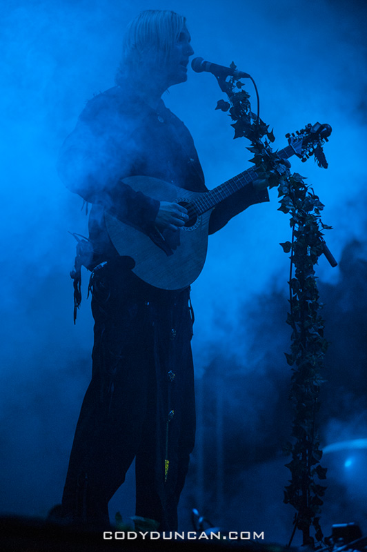
Faun Festival Mediaval Germany

Photo: Faun live at Festival-Mediaval, Selb, Germany.  September 2010


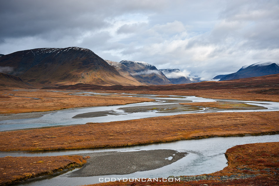
Kungsleden trail, Lapland, Sweden

Photo: River flows through mountain valley, Kungsleden trail, Sweden.  September 2009


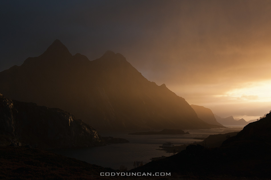
Dramatic light over mountains and coast, Maervoll, Lofoten islands, Norway

Photo: Stormy light, Maervoll, Lofoten Islands, Norway.  Octover 2011

Colorado Trip

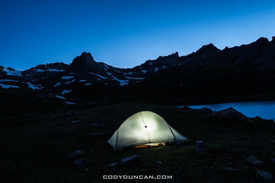
Ice Lake Basin Colorado tent camping

Photo: Night descends on camp at Ice Lake Basin, San Juan Mountains, Colorado.  June 2012

For the last couple weeks of June I was on a little road trip to Colorado.  Other than 1 afternoon about 15 years ago, this was my first time there.  It’s pretty far away from here in California and there is a lot of ‘nothing’ to pass through on the journey to get there, but I really wish I’d made a few journeys before this as it will probably be quite a few years before I ever get back there again.

For the most part we stayed in the southwest in the area of the San Juan mountains.  We managed hikes up 3 14ers (Handies, Elbert, and Sneffels) and a night camping at Ice Lake basin which is an absolutely amazing spot and reminds me of the Alps quite a bit.  All in all, the Colorado mountains are much more green and lush that what we have here in the Sierra Nevada in California where it is basically just rock once you get above the tree line.  Flipping through the guidebooks I picked up, I was a bit overwhelmed as to what to do.  There are just so many mountains and trails!  It seems the choice here in California is a bit easier as you either enter the mountains from the west, or more typically for me, from the east.  But Colorado has so many roads, so many peaks in every direction, and having no idea of what to actually do, it was a bit difficult to focus in and make a choice.  I probably wasted a few days here and there, but overall it was a fun trip.

Conditions wise we were a bit lucky and unlucky.  Due to an abnormally dry winter, ever local I ran into up in the mountains said the late June conditions looked more like early August in typical years.  The made access to the mountains quite easy and my feet hardly touched any snow.  Temperatures where hot!  I cursed the sun anytime I was below 10,000 feet.  Even in the early mornings on the way up the mountains I was often in a t-shirt, and sweating thoroughly in the hot sun on the way back down.  Though miraculously enough, I managed the whole trip without a sunburn.

The tragic fires were all the news while we where there.  On a few days the sky and valleys filled with smoke when the wind changed directions, but for the most part we wouldn’t have been aware there were any fires.

And Aspen in summer sucks, wasn’t even worth a few hours.  Not sure what all the rage is about.  But that’s generally my opinion of most ski towns.

I’ll make a few more post in the following days/week with more photos about each hike.  But this is pretty much the only road/photo trip I’ll be making stateside this year. For the past months I was too poor to get very far from the house, even resorted to selling off a bunch backpacking/camera gear on craigslist so I could at least eat some decent food and cover some bills.  Luckily I’ve now found a job that will keep me super busy for the next weeks and then hopefully I’ll be back on the Lofoten Islands by mid August.

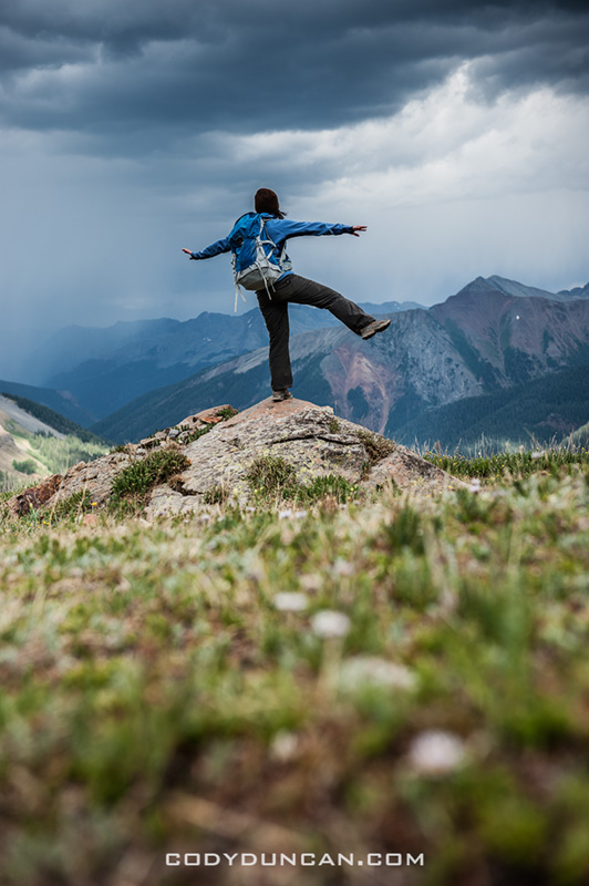
San Juan mountains backpacking Colorado

Photo: Waiting for the rain, Ice Lake Basin, San Juan Mountains, Colorado.  June 2012


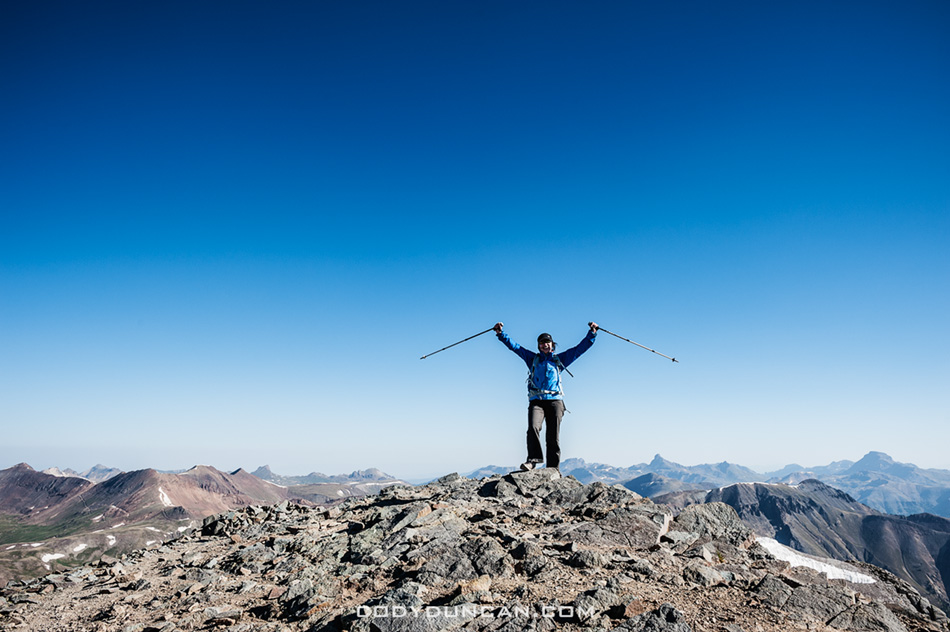
Summit of Handies Peak Colorado 14er

Photo: Summit of Handies Peak, Our first Colorado 14er.  June 2012


Colorado mountain storm San Juans

Photo: Dark skies and distant thunder on the way up Mt. Sneffels, Colorado.  June 2012


Colorado mountain landscape Ophir Pass

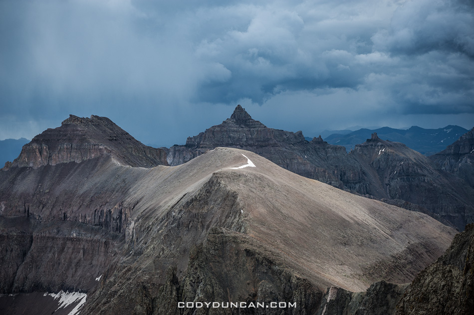
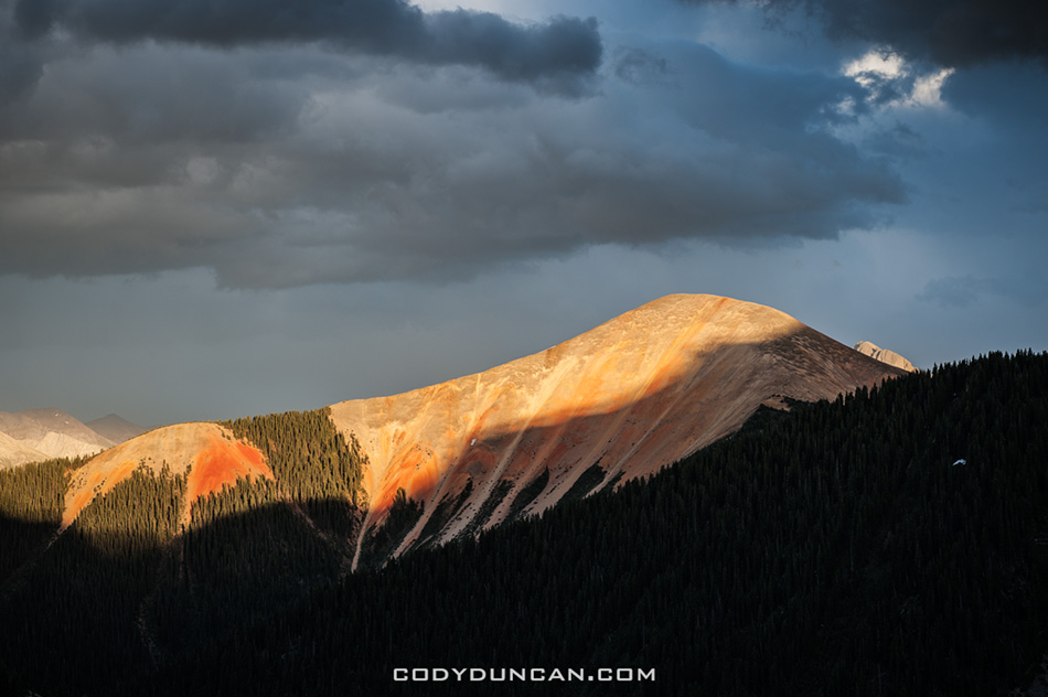
Photo: Last light from Ophir Pass, San Juan Mountains, Colorado.  June 2012


Travel map

Photo: Lots of miles on my truck, time for an oil change…

Lofoten Islands 5 Best Beaches

Gimsoya beach summer lofoten islands norway

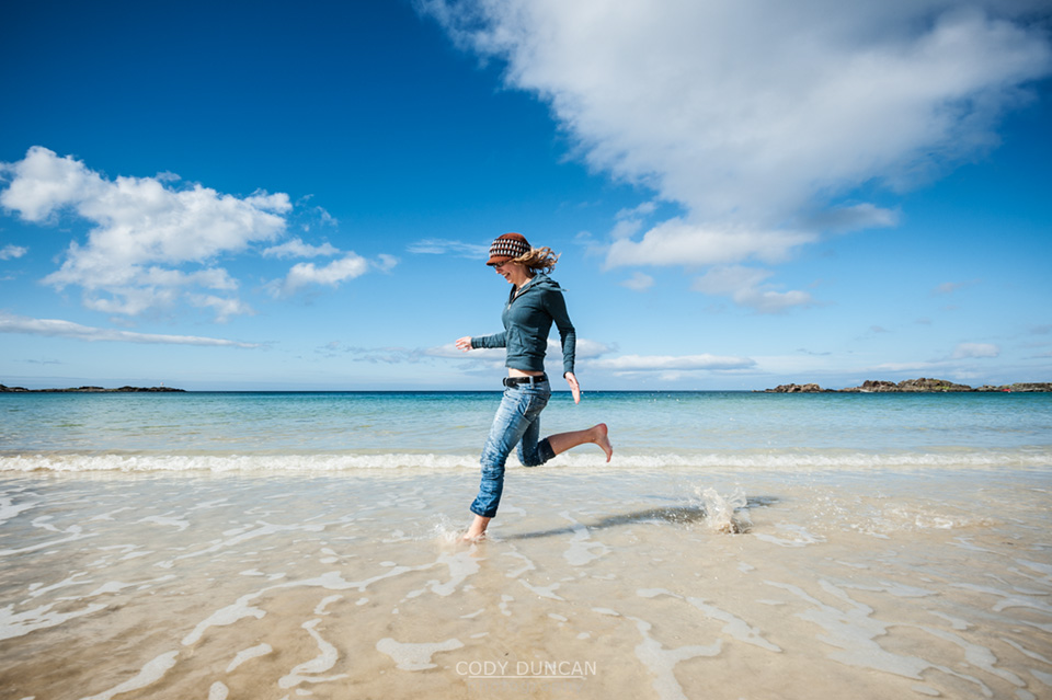
Photo: Summer days on beach at Gimsoya, Lofoten Islands, Norway.  Aug 2010

I’ve written a new article over at 68north.com on the 5 best beaches (that you can drive to) on the Lofoten islands.  CLICK HERE to check it out.

Winter storm over snow covered beach, Unstad, Lofoten islands, Norway

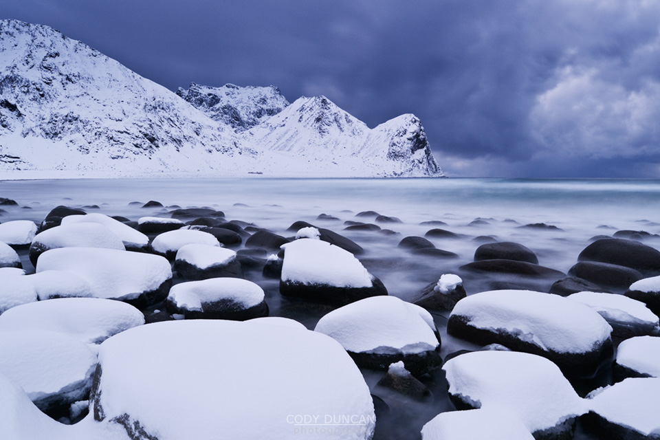
Photo: Unstad Beach in Winter.  Jan 2010


68 North V2.0

68 North Lofoten Islands Photography

68 North – Lofoten Islands Photography

I’ve finally finished up the re-design of my 68north.com website, my Lofoten Islands photo gallery.  I wrote some 6,000+ words of new content and have expanded things out to include travel and hiking info.  It’s not 100% finished at the moment, but I’m pretty happy with how things turned out so far.  Over the next months I’ll keep adding info, and will go into more detail about photography on the Lofoten Islands.  Hopefully I’ll end up with detailed descriptions of my favorite photo locations and when is the best time to photograph at each place.

I’ll probably still share a fair bit of general Lofoten content with my blog here, but will likely add a bit more detail over there from now on.  So go check things out! And let me know what you think!

And the photos are way bigger over there!

68 North Lofoten Islands Photography

Channel Islands Sailing – Santa Cruz Painted Cave

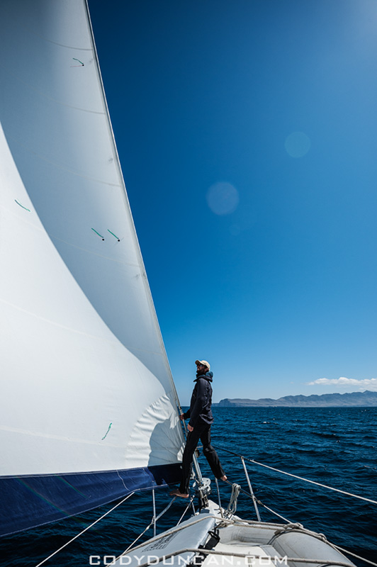
Channel Islands national park sailing

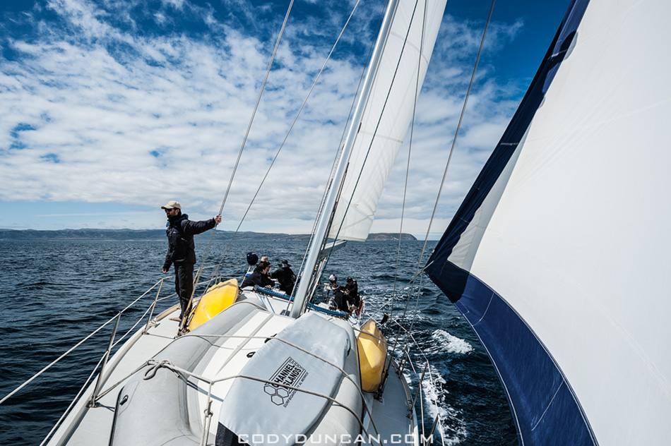
Photo: Sailing towards Santa Cruz Island, Channel Islands national park, California.  April 2012

…Continuing from my last post –click here–

After leaving San Miguel Island we arrived at our first nights anchorage on the islands at Becher’s Bay on Santa Rosa Island.  The next day we departed in mid morning and sailed towards Santa Cruz Island.

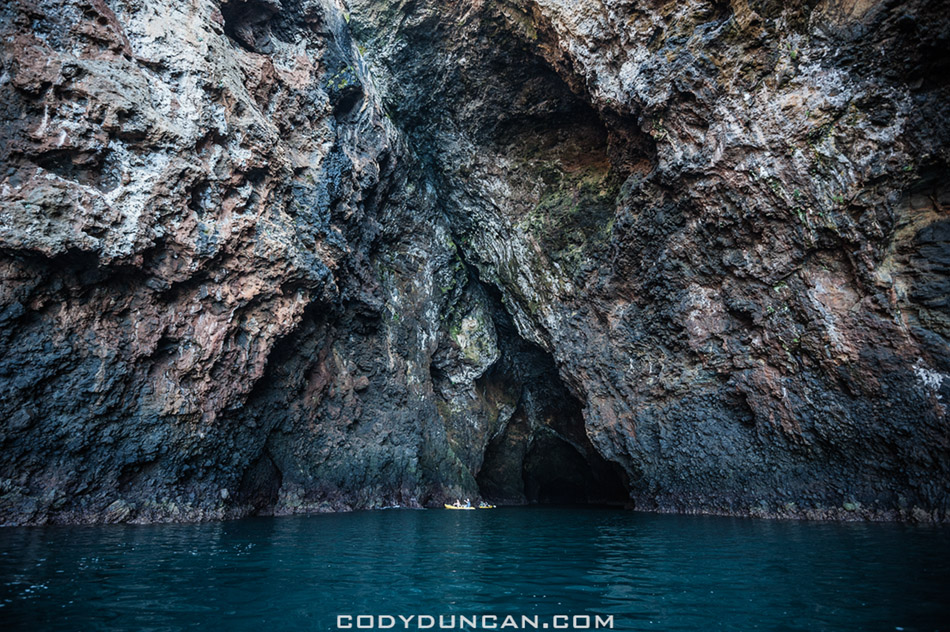
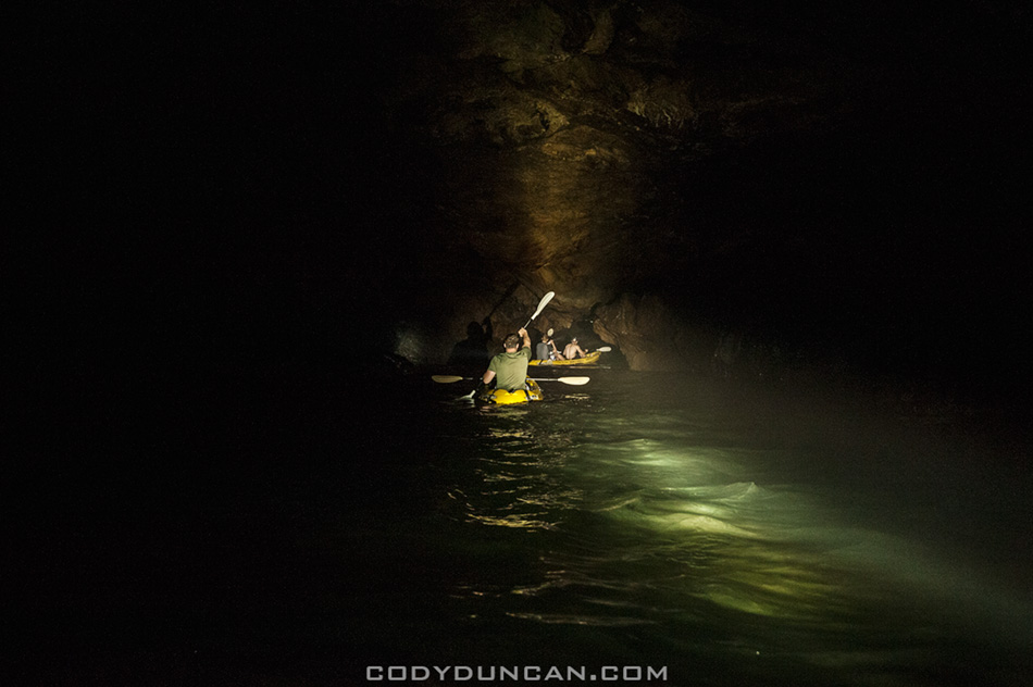
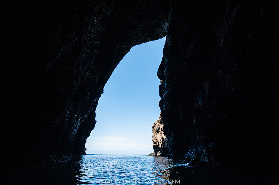
We made a brief stop for some exploration of Painted cave, the worlds largest sea cave.  It’s quite eerie once inside and completely dark.  I had a large spotlight we me on the dinghy, but in the heavy, misty air inside the cave, it hardly did anything.

The wind had pretty much died here on the north side of the island so we motored our way to the anchorage at Pelican Bay.  Here the skies got dark and we were in for a raining night on the boat.

To be continued…


Channel Islands national park sailing

Photo: Leaving Bechers Bay at Santa Rosa Island, Channel Islands national park, California.  April 2012


Channel Islands national park sailing

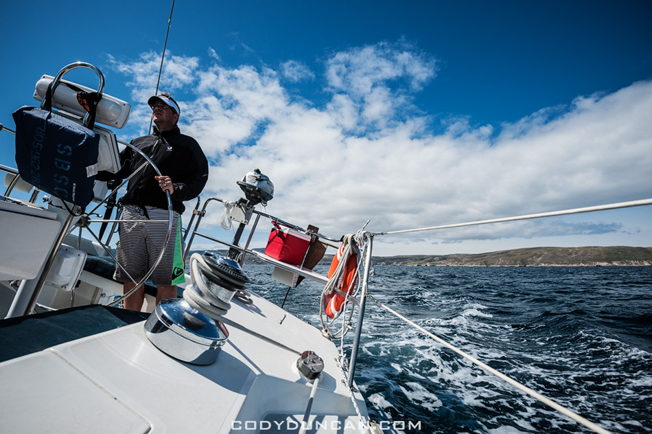
Photo: Sailing between the islands, Channel Islands national park, California.  April 2012


Painted cave santa cruz island

Photo: Kayaks at entrance of Painted Cave, the worlds largest sea cave, Santa Cruz Island, Channel Islands national park, California.  April 2012


Painted cave santa cruz island

Photo: Darkness inside Painted Cave, Santa Cruz Island, Channel Islands national park, California.  April 2012


Painted cave santa cruz island

Photo: Looking out of Painted Cave, Santa Cruz Island, Channel Islands national park, California.  April 2012


Santa Cruz Island channel islands national park

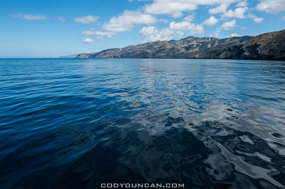
Photo: Calm waters on north side of Santa Cruz Island, Channel Islands national park, California.  April 2012

San Miguel Island – Channel Islands National Park

Cuyler harbor san miguel islands channel islandsPhoto: Panoramic view of anchorage at Cuyler Harbor, San Miguel Island, Channel Islands National Park, California.  April 2012

Last week was a double first for me: my first time on a sailboat and more importantly, my first time on the Channel Islands.  Despite looking at the islands nearly every days since I was born, it took me 31 years to finally get out there.  They where always some place that I’d wanted to go but plans never really worked out or I’d head up to the mountains instead.  Well now at least I can say I’ve had a ‘proper’ islands trip.

We left the Santa Barbara harbor on a Sunday at midnight with the compass set towards San Miguel Island and motored the 40 nautical miles by stars and moon.  My buddy Tim and I pulled the 4am to 7am shift.  Taking 20 minute turns at the wheel in the damp, cold night air we navigated by stars until Island fog crept in and then we had to use the moon as best we could to keep position.  Just before dawn, after a six and a half hour crossing, we pulled into Cuyler Harbor which would be anchorage for the day.  The fog cleared just enough for a fantastic sunrise over the Santa Barbara Channel and then I headed back below deck for a little bit more shut eye.

In the late morning we launched the dinghy and headed to shore.  We had an appointment to meet the island’s ranger up at the station and then she led our group on a 3 mile hike out to Harris point.  On the way we saw an Island fox hunting and catching something at a pretty close distance, most likely a mouse, which is a pretty rare sight.  On the way back we also came across two juvenile foxes standing right in the middle of the trail.

We were back aboard the boat by around 5pm and then set sail towards Santa Rosa Island and our nights anchorage at Becher Bay.  More on that and the rest of the trip in the next days…

Cuyler harbor dinghy landing

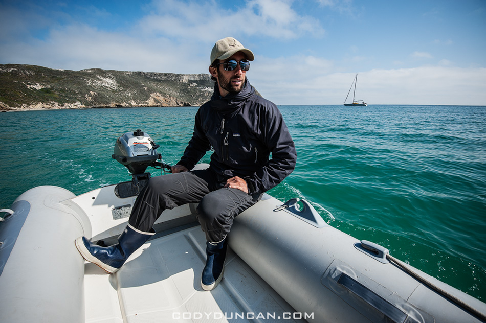
Photo: Heading to shore on the dinghy for a beach landing, Cuyler Harbor, Channel Islands National Park, California.  April 2012


Cuyler harbor beach dinghy landing

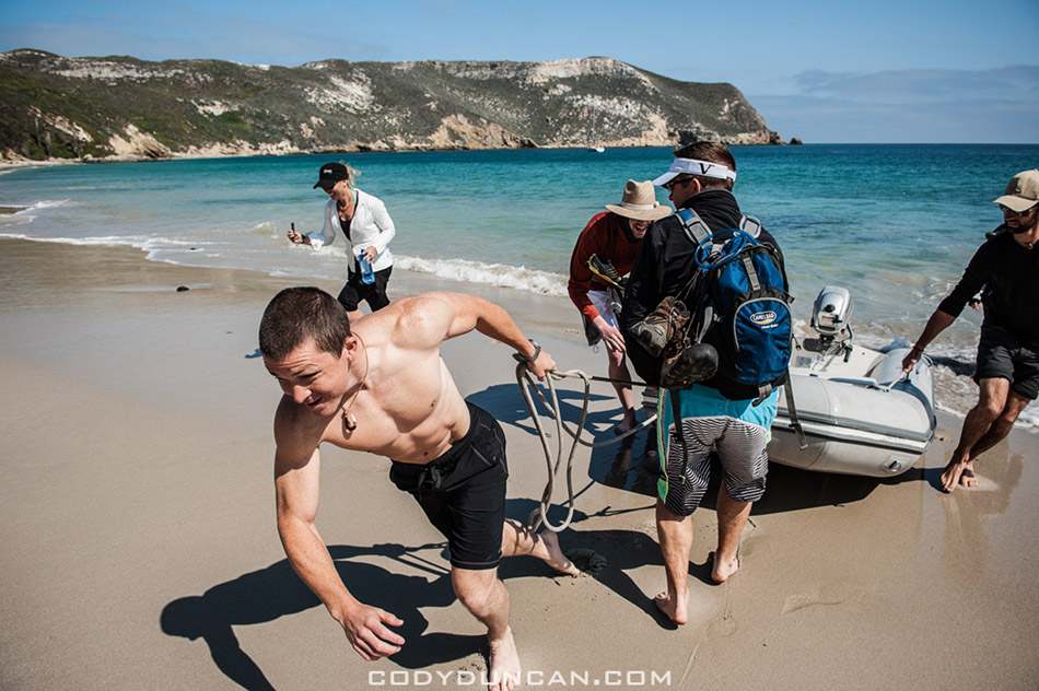
Photo: Landing the dinghy on the beach, Cuyler Harbor, Channel Islands National Park, California.  April 2012


Northern elephant seal san miguel island

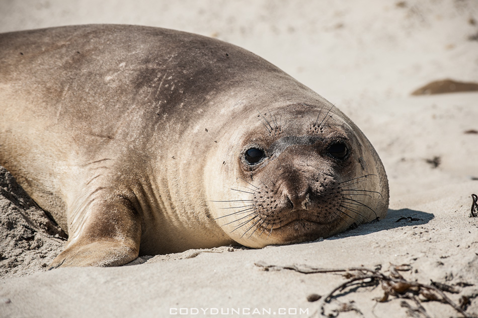
Photo: Northern Elephant Seal pup, Cuyler Harbor, Channel Islands National Park, California.  April 2012


San miguel island cuyler harbor beach

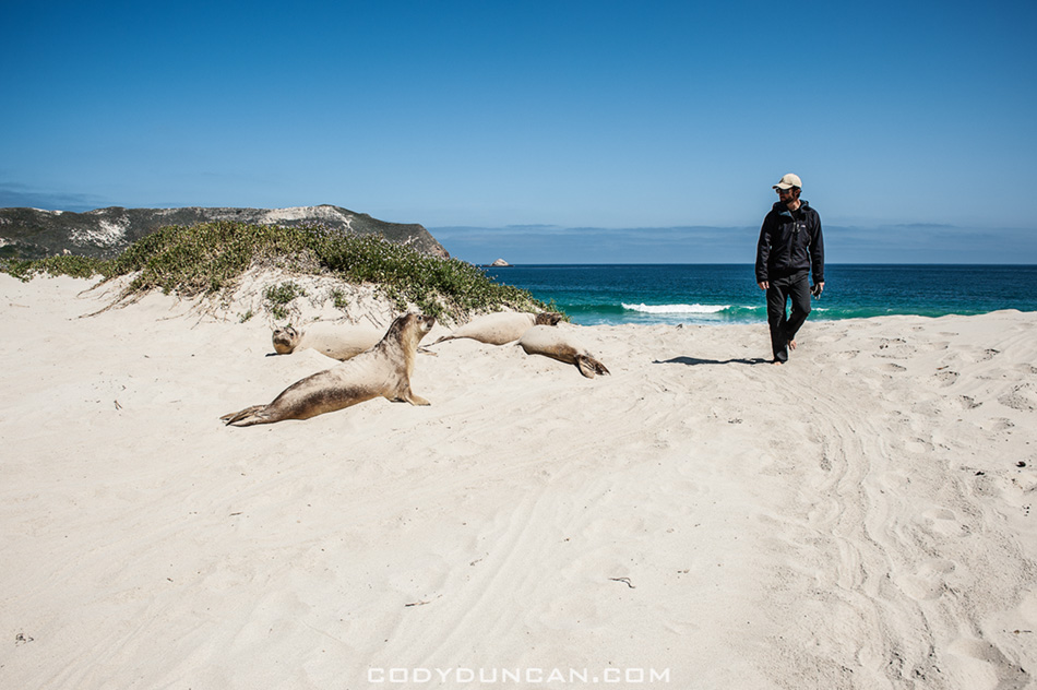
Photo: Passing seals on the beach (they where everywhere!), Cuyler Harbor, Channel Islands National Park, California.  April 2012


San miguel island cuyler harbor beach

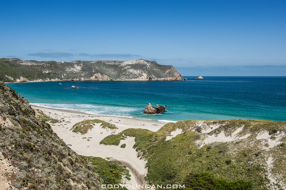
Photo: Looking back towards the beach as the trail begins to climb, Cuyler Harbor, Channel Islands National Park, California.  April 2012


Harris point san miguel island

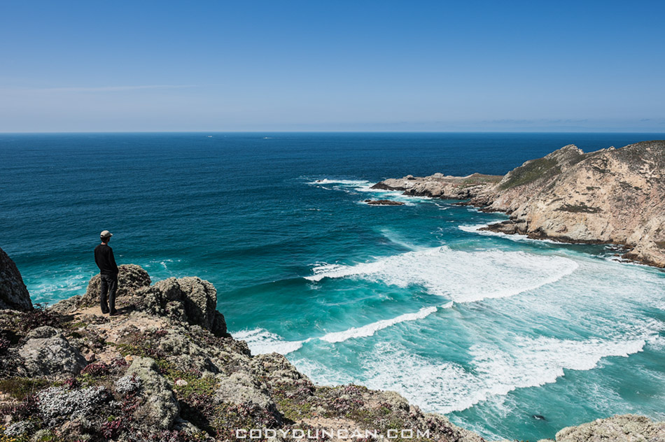
Photo: Scenic view from Harris Point at the end of the hike, Channel Islands National Park, California.  April 2012

Baltic Gold- Searching for Amber on the Lithuanian Coast

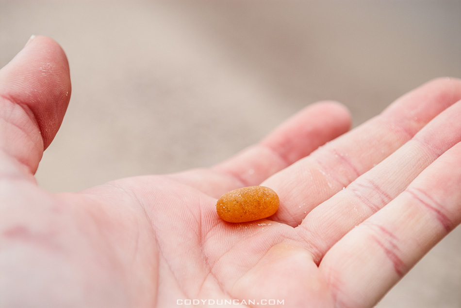
Hand holding amber found on beach

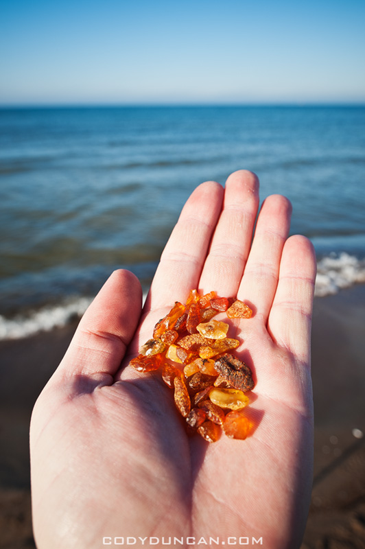
Photo: Amber from the shores of the Baltic Sea, Curonian Spit, Lithuania.  Oct 2011

My first visit to the Curonian Spit on the Baltic coast of Lithuania was in February 2007.  I had been planning a whole trip up through the Baltics to Finland, but that never happened as I retreated from the cold and headed back to Germany.  At the time I didn’t know much about the area but I find heading towards the coast is usually a safe decision when I have no idea what I’m doing or where I’m going.  So on a cold, dark, snowy February afternoon I found myself getting off a bus in the port town of Klaipeda.

After a bit of a wander I discovered the city is not the most interesting place in the world but a short ferry ride across the Curonian Lagoon would take me to the Curonian Spit, a thin slice of dunes and forest separating the lagoon from the Baltic sea.  I ended up down in Nida, the last town before the border with Russia and had a wander around the frozen lagoon and snow covered dunes, eventually making my way out the the Baltic coast.

I knew there to be amber in the area and so I set about in search of some.  Not having much of an idea of where to look or what exactly it looked like, all I knew was it was roughly dark-orange in color, I eventually stumbled upon a stone or two which I thought had the right look.  With the hour getting late and not wanting to miss the last bus north I safely secured the stones in my bag and headed back across the dunes to Nida.

Upon my arrival back to Germany a few days later I was informed that all I had was rocks.  Though somewhat disappointed, I entered the Curonian Spit into the ‘need to return to’ section of my mind, with the feeling that there’s still some mystery about the place that I’d like to further explore one day.  Though perhaps not in winter next time.

So in the Autumn of last year I found myself packed like a sardine on some small mini-bus speeding through the Lithuanian countryside towards Klaipeda with a driver who must of thought he was Michael Schumacher and the old smelly diesel engine just didn’t have quite enough power for his preferred style.  After a few near head-ons going around blind corners I figured I was glad I had some emergency contact numbers in my wallet incase I ended up in the hospital, or worse.

With a new bus station, supermarkets and other construction down by the waterfront, Klaipeda is getting some much needed renovations.  But for me it is still merely the travel point out to the Spit.

From the harbor leaves a ferry ever 30 mins to 1 hour, depending on the season, for the 2-3 minute crossing.  Arriving on the north of the Spit at Smiltyne, there are several busses per day which make the 45km journey south to Nida.  Getting up early I had planned on catching the morning bus and spending the day wandering around the dunes again.  But unfortunately I received a bit of mis-information and the bus schedules had changed and there was no bus coming until later in the afternoon.

I thought about just heading back to Klaipeda and coming back later but before I could make a decision the ferry was already leaving.  So at that I wandered west through the forest and out the the Baltic.  On the coast it is basically one long beach, somewhat reminding me of the islands of Juist in Germany where I spent some weeks on in the past.  With nothing else to do I just began walking south along the water.  The memories of my journey five years before were still in my mind, “Lets see if you can find some amber this time Cody, not just rocks!”

After some 20-30 minutes something shiny caught my eye.  Hmmm, looks like it could be amber, but ehh, that’s what I thought last time too.  Then a step later I saw another piece, and then another, partially hidden by some seaweed.  And then more and more.  I’ve actually found it this time, cool!

It took me a little bit to work out where it was, but it floats to the coast in something similar to what would be veins of gold in the ground.  There are 5-10 meter sections where there will be a lot and then nothing for another 200-300 meters or more.  Because amber is lighter than normal rocks, it often drifted to shore in sections where there was lots of other stuff like old pieces of wood or seaweed from the ocean floor.  When wet, the color would immediately catch my eye and in some places a little digging under the sand would turn up more.  I’ve usually heard that it gets washed up after storms, but I must have just been luckily.  Though there were quite a few other locals out collecting as well, so maybe there was something a few days before that I didn’t know about.

I never did make it down to Nida or the dunes that day, feeling that I’d gotten enough sun for the day; I think I’m the only person in the world who can get a sunburn in Lithuania in October.  But that’s really okay with me, more reason to go back again…


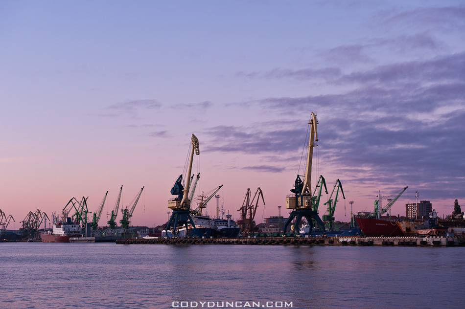
Shipping port at Klaipeda, Lithuania

Photo: Klaipeda waterfront at dusk.  Oct 2011


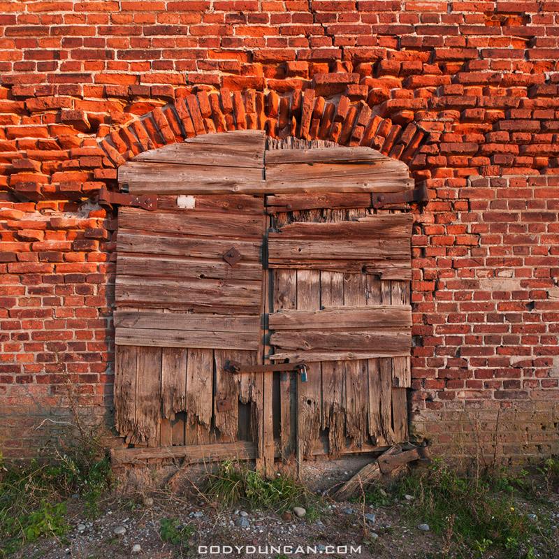
Old brick building and wooden door, Klaipeda, Lithuania

Photo: Old door and wall, Klaipeda, Lithuania.  Oct 2011


Hand and rock

Photo: Amber?  Nope, just a rock!  Curonian Spit, Lithuania.  Feb 2007


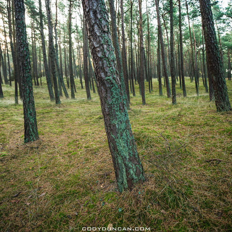
Forest Curonian Spit Lithuania

Photo: Coastal forest, Curonian Spit, Lithuania.  Oct 2011


curonian spit beach lithuania

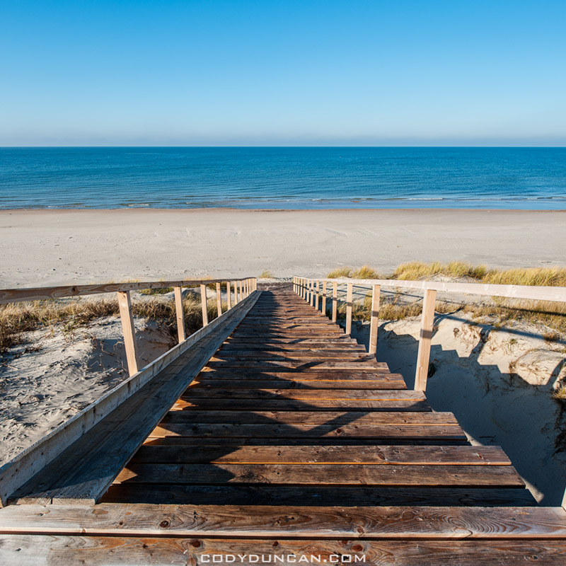
Photo: Steps to the Baltic, Curonian Spit, Lithuania.  Oct 2011

San Felipe Baja 250 Time

Kendall Norman Baja 250

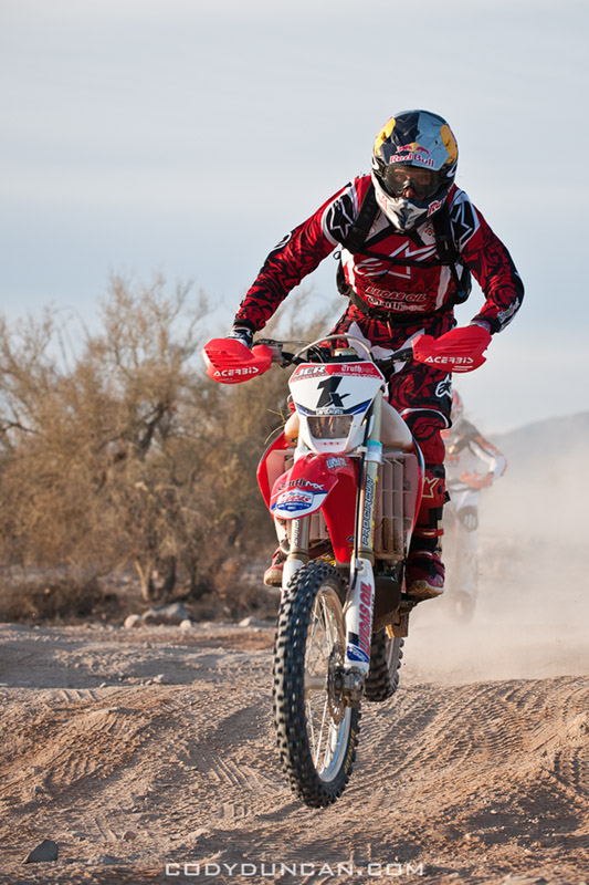
Photo: Kendall Norman Honda 1x, San Felipe Baja 250.  March 2011

It’s that time of year to head down to San Felipe, Baja California for the 2012 Baja 250.  My brother is racing again so I’ll be helping out the team while pre-running and on race day.  By ‘helping out,’ I mostly mean sitting out somewhere in the desert in my truck, cooking in the hot sun while waiting for a rider to arrive, fill them up with gas, watch them ride off and their dust fade into the distance, drive to a new location and repeat.  Only a week out of Europe, even 10,000 spf sunblock wont help and I’m sure I’ll be lobster Honda red after a day or two.

I’m not really sure how many photos I’ll take this year.  There’s so many other photographers these days and I don’t really have an outlet for race photos so it’s not really worth much effort.   I’ll probably focus a bit more on behind the scenes stuff while pre-running and maybe a few sunrises and landscapes while I’m sitting around in the desert.  For me it’ll just be more of a fun trip this time around.  And there’s lots of cool stuff down there to explore.  The race is almost just an excuse for me to go down there.

(All photos on this post from last year (2011).  2012 Photos coming next week.)

UPDATE, March 12: –CLICK HERE– for gallery of 2012 San Felipe Baja 250 Images


Jesse James trophy truck arrives at finish of 2011 San Felipe Baja 250

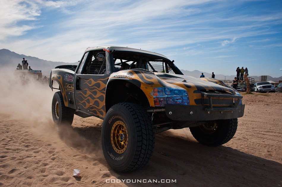
Photo: Jesse James trophy truck arrives at finish, San Felipe Baja 250.  March 2011

Spectators await arrival of 1st trophy truck at finish of 2011 San Felipe Baja 250

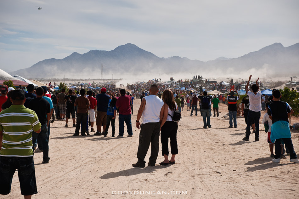
Photo: Spectators await at finish for arrival of 1st trophy truck, San Felipe Baja 250.  March 2011

San Felipe Sea of Cortez

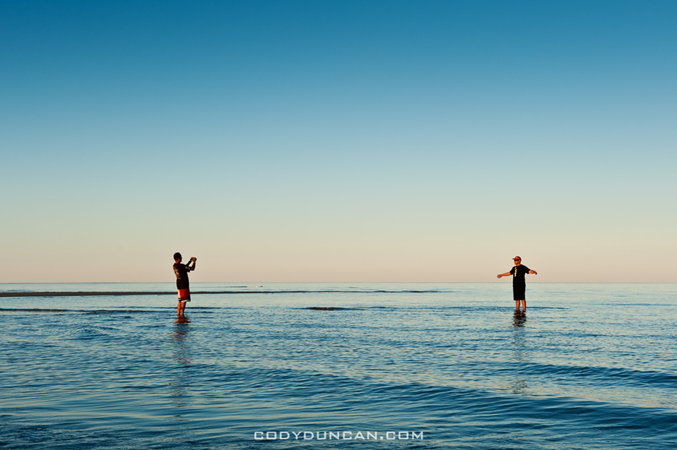
Photo: Calm waters of the Sea of Cortez, San Felipe.  March 2011

Sea of Cortez, Near San Felipe, Baja California, Mexico

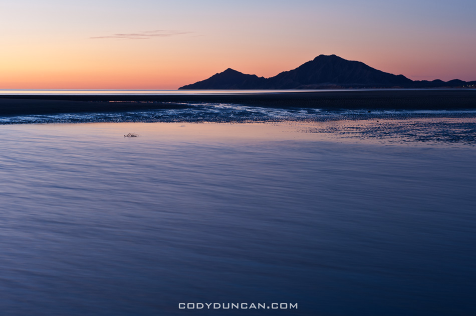
Photo: Dawn over the Sea of Cortez, San Felipe.  March 2011

34,000 Feet Over Greenland

Greenland from Airplane

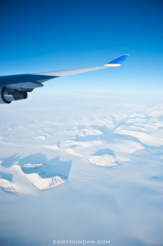
Photo: Flying over Greenland.  Feb 2012

I’m now home in Santa Barbara where I’ll more or less be for the next few months, not counting a road trip or two.  Had a good flight from London to San Francisco yesterday.  The plane was remarkably empty so I had the whole center row of the 747 to myself to stretch out on.  Too bad it was a daytime flight and I couldn’t really sleep to take full advantage of it, but it was still nice none the less.  Then I had a 1 hour delay getting out of SF to Santa Barbara, so I guess that equals things out a bit.  Was pretty tired walking in the door last night, but not as bad as I expected.  Most people I know say they deal with jetlag better when heading east, but I always seem to do better going west.

I can’t believe I haven’t been to Greenland yet.  Definitely a beautiful place from the air.