Tag Archive for: travel photography

Elgol – Isle of Skye
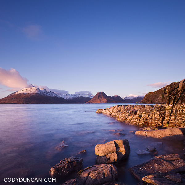
Travel stock image: Rocky coast at Elgol with Cuillins in background, Isle of Skye, Scotland

The rugged and rocky coastline at at Elgol with it’s view back towards the mighty Black Cuillins as they rise from Lock Scavaig is one of the more iconic photo locations on the Isle of Skye.  As long as one is willing to gamble on good weather, it is well worth the long drive down the winding single lane road.

Snow covered peak on the left is Gars-Bheinn at the start of the famous Cuillin ridge.  Sgurr na Stri is the lower, snowless peak towards the center.  To the left of that sits Loch Coruisk, another marvelously scenic, and isolated, place and Skye.  There is a nice hiking route that starts in the north at Sligachan and passes by loch Coruisk and then around the coast under Sgurr na Stri to Camasunary and eventually finishing here at Elgol.

One of my stupider moments in life happened along the coast under Sgurr na Stri.  It had just finished raining ( = slippery rocks), I was trying to eat a piece of chocolate while at the same time messing with my camera to take a picture of Bla Bheinn rising above the Camasunary bothy.  Well, I slipped and ended up upside down; nothing bad, just a little ‘oops’ moment.  Not wanting to drop my camera on the muddy ground, I couldn’t use my hands to get myself up.  And not wanting to drop the piece of chocolate in my mouth that I had been munching on, I couldn’t talk clearly enough to ask my friend to pull on my backpack to help me up.  So was upside down with my backpack on top of me and unable to move.  Totally stuck, but only because I didn’t want to drop my camera or chocolate.  Finally my friend came to the rescue after a moment of wondering if I was practicing some new form of mountain yoga.  Luckily there was only two of us to witness this event.
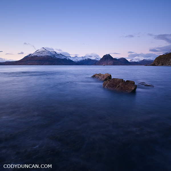
Landscape stock photography - Elgol and Black Cuillin, Isle of Skye, Scotland

Mojave Road 4WD trail

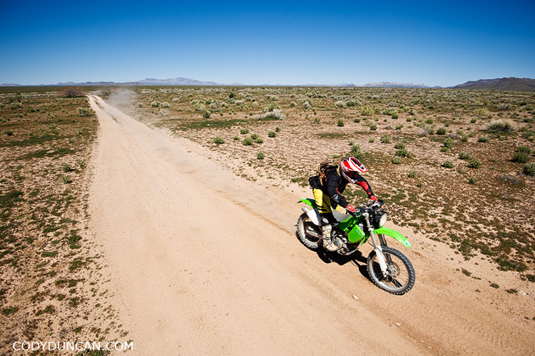
Dual sport motorcycle rides through desert along Mojave trail road, California

Last week my brother talked me into heading back out into the desert to join a group of people driving the old Mojave road.  The road is a 130 mile 4wd dirt road with follows an old Native American trading route and later route of Spanish missionaries through California’s Mojave desert to the shores of the Colorado river on the California – Nevada border.

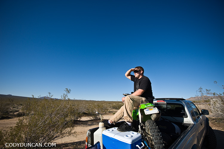
Dual sport motorcycle in pickup truck, Mojave road, California

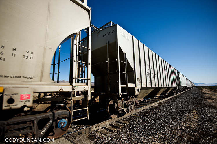
Train traveling through Mojave Desert, California

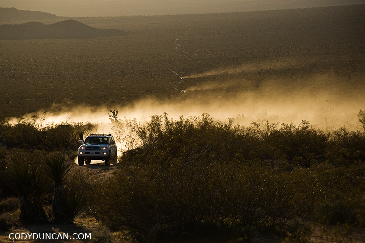
off road 4wd trucks and dust on mojave trail road, Mojave preserve, California

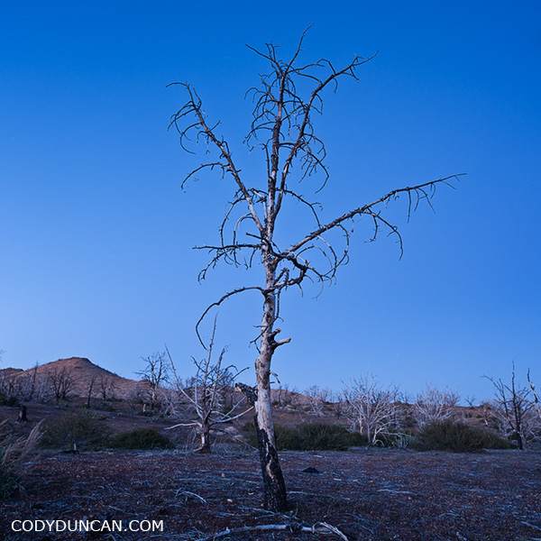
burnt tree, Mojave desert

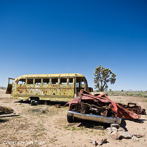
Abandoned bus Mojave desert california

Salton Sea

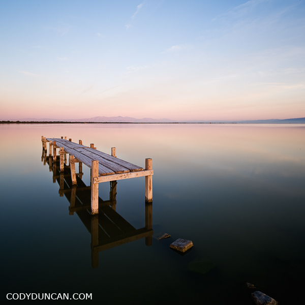
photo of old dock in water, Salton Sea, California

I was amazed out how far the water has dropped in the 5 years since I was last at the Salton Sea.  I drove to this location in the darkness of morning, remembering it to be a cool place that I last visited when I was shooting B&W film on a Hasselblad and spending hours and hour in a darkroom instead of hours and hours on a computer as I do now.  How things have changed.  There used to be cool set of the old docks that were on the edge of the water.  Now they are landlocked hundreds of feet from the current shore of the sea.  I also remember this little dock in the picture above could only be accessed by wading through knee deep water.  Now one can drive to only a few feet away.  Change is constant.

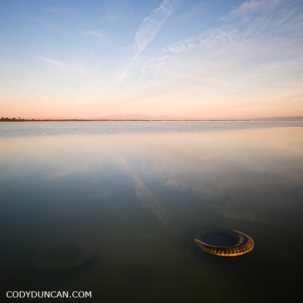
Salton Sea sunrise, California

Racetrack Playa – Death Valley

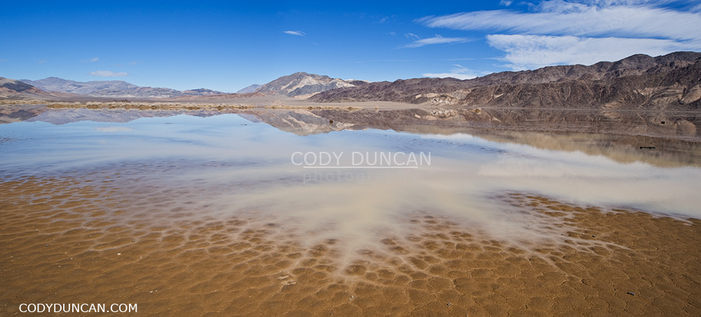
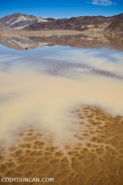
rare winter water fill dry lakebed of devils racetrack playa - death valley, california

Winter rains flood the playa at the southern end of the Devil’s Racetrack, Death Valley, California.  February 25-25, 2010

Prior to this recent trip I’d only twice been to Death Valley national park.  And on those two previous trips I was only in the ‘valley’ itself and not any of the more wild areas only accessible by dirt roads.  Based upon my prior trips, I had a total lack of understanding of the true size of the park, which in fact the largest US national park outside of Alaska.  Somehow looking at distance numbers on a map, 17 miles here, 27 miles there, doesn’t always properly translate to the true length of the journey.  Especially when it is on some of the most bone jarring, bolt loosening, tire shredding, knocking-cooler-over-and-spilling-water-all-over-my-bed, wash-boarded dirt roads I have ever driven.  You know the roads, the ones that are so full of stutter bumps that you have two choices:  Drive 5mph and arrive sometime in the next millennium or drive 50mph to ‘skim’ over the bumps while totally destroying your tires.   I really don’t know what is worse those though.  Being subjected to endless bumps for hours on end, but knowing that it’s not as bad as it feels and you should eventually arrive.  As opposed to just going for it to get it over with in a shorter amount of time with the constant clatter of rocks flying loose inside the wheel wells and then just holding your breath as you see some large washout appear that there is no way to slowdown for.   So driving nearly 70 miles of this in one day from the Eureka dunes in the far north of the park down to the Racetrack playa was a long day that I don’t look forward to repeating anytime soon, or at least not with my truck.  If someone else wants to drive, I’d be happy go along.

rare winter water fill dry lakebed of devils racetrack playa - death valley, california. February 2010

Normally the lake bed playa is totally bone dry, but some years in winter, a small lake will appear towards the southern end.  This is also the location of the moving rocks for which the Racetrack is most famous for.  Unfortunately the water and mud meant I couldn’t get near them, so I guess I do have to go back again.  Though I think it was interesting to see this somewhat rare event.

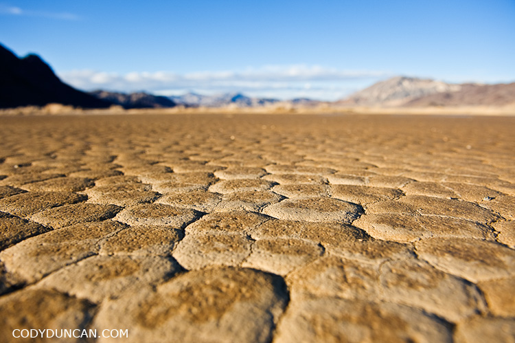
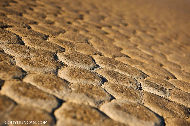
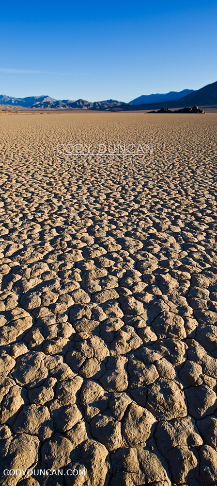
Dry mud patterns in devils racetrack playa dry lakebed, death valley, California

landscape photography, devils racetrack playa, death valley, california

Dry mud patterns in devils racetrack playa dry lakebed, death valley, California

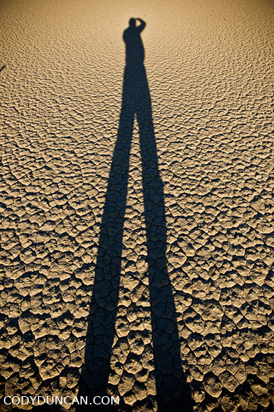
travel and landscape photographer Cody Duncan stands on dry lake bed at Racetrack playa, Death Valley, California

Lofoten Islands Winter Photo Gallery

Lofoten islands winter photo gallery: click here.

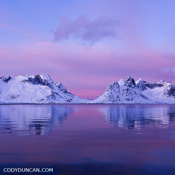
In early January I traveled north into the Norwegian arctic in search of the polar night.  At 68 degrees north, I was unfortunately too low and too late for a true polar night, finding only the ‘polar twilight.’  Twilight would begin around 9:30 AM and last until around 3:00, all other hours of the day I would consider to be night and stars were visible.  It was actually far brighter than I was expecting when the sky was clear, the day being essentially a 4 hour long sunrise/sunset all merged into one before the night’s darkness arrived again.  Needless to say, I got a lot of reading done.

Since there are no tourists to the islands at this time of year and no hostels are open I was left to sleep in my (tiny) rental car as best as I could.  Which wasn’t very good.  Only having a 0˚ C sleeping bag and temps down to -7-8˚ C ensured for some cold nights.  I felt like some contortionist trying to fit inside the car to sleep.  I could fold the back seats down, but there was no possible way for me to get even somewhat comfortable.  Better than an airplane seat, yes, but the cold and my lack of a proper sleeping bag would mean that if I didn’t maintain good blood flow to my feet, they would become super cold.  On one of the nights it snowed so much that I could hardly get out of my parking area in the morning.  Only twice did I get the car stuck in the snow.  Once having to track down some dude in a tractor and ask him for a tow.  His comment, “You’re not the first one today.”  Second time a car full of the young guys came along after about an hour and helped push the car out.  I tried to be more cautious after that but still managed a few close calls.

I was fortunate enough for one day of good weather.  The remaining days I would classify a somewhere between bad and ‘I wish I had a warm house to sit in and some decent food to eat and not be stuck in this freezing car being rocked about by the wind and buried under snow.’

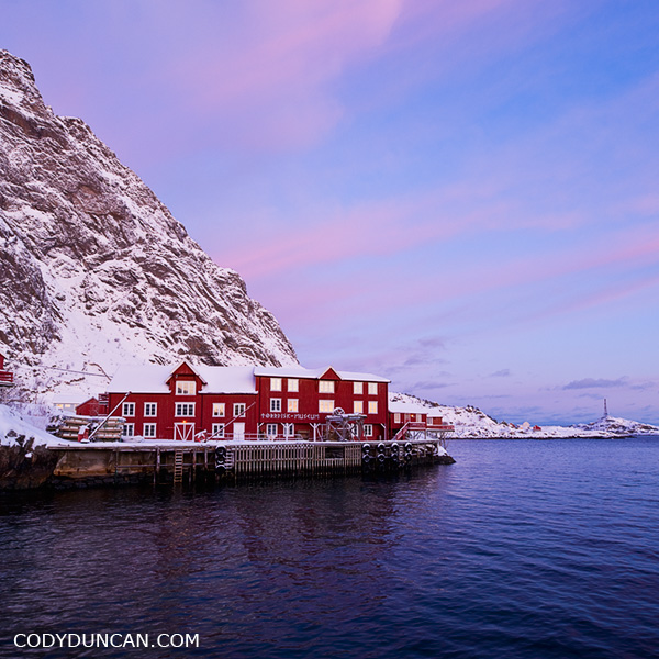
Å I lofoten, Lofoten islands, Norway. Winter travel photography

Isle of Skye – Coire na Creiche

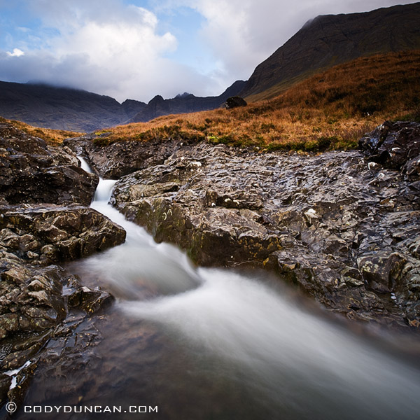
Waterfall at Fairy Pools, Coire na Creiche, Isle of Skye, Scotland

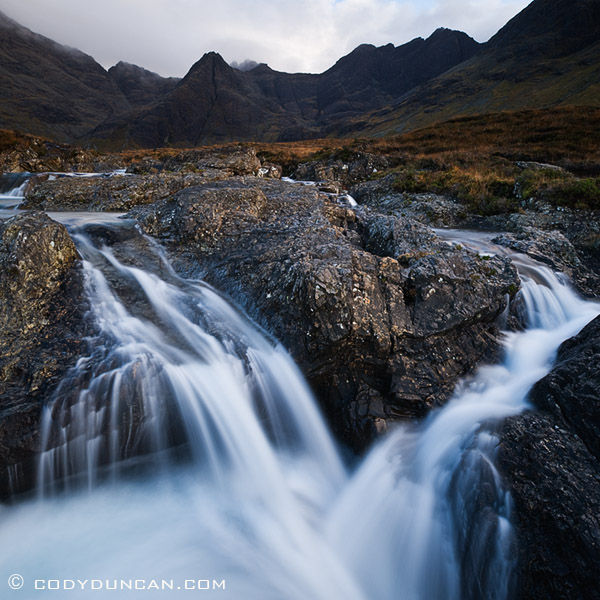
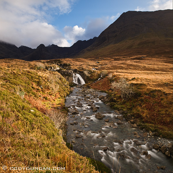
River at Coire na Creiche, Glenbrittle, Isle of Skye.  Better known as the location of the ‘Fairy pools,’ a series of crystal blue pools of water and waterfalls flowing out of the rugged peaks of the Black Cuillins.  It had been raining for a week strait prior to my visit so the ‘pools’ were are bit more like rapids than normal, but at least I got lucky with a bit of sun on a short November day.

Waterfall at Fairy Pools, Coire na Creiche, Isle of Skye, Scotland

Waterfall at Fairy Pools, Coire na Creiche, Glenbrittle, Isle of Skye, Scotland

Kungsleden Photo Gallery

Kungsleden mountain landscape, Singi, Lapland, Sweden

Kungsleden photo gallery: Click here

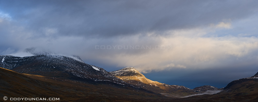
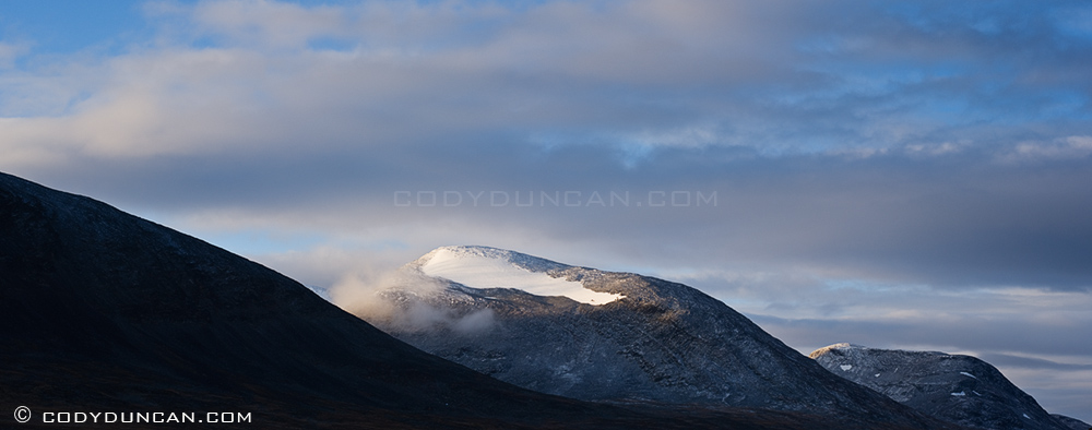
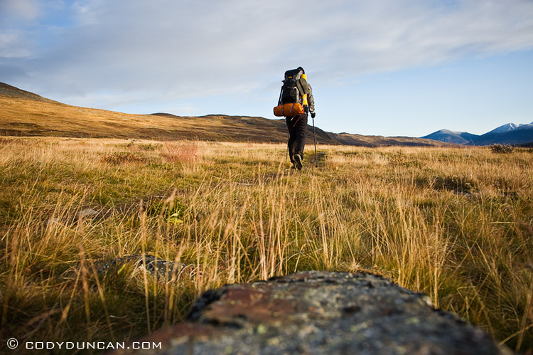
I’ve created a image gallery from my hike on the northern section of the Kungsleden trail in Swedish Lapland.  Weather was pretty bad – Sept 17 was the first day I was snowed on – so most of the pictures are of clouds.  When I go back again one of these years, I think I would like to be there for the beginning of September.  Though I was told that the autumn/winter came early last year and that it was colder than normal, so maybe I just had a bit of bad luck.  Still, it’s an amazing place so I would not complain about going back and wandering around for a few weeks.

Panoramic landscape stock photography: Mountain landscape, Kungsleden, Lapland, Sweden

Outdoor lifestyle photo - Solo hiker on Kungsleden trail, Lapland, Sweden

Haukland Beach – Lofoten Islands

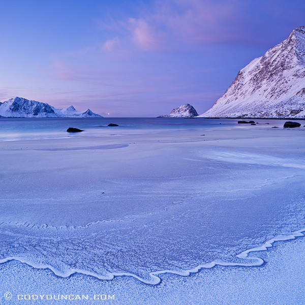
Haukland beach, Lofoten islands, Norway

Haukland beach, Lofoten islands, Norway

Claerwen Reservoir Dam – Elan Valley, Wales

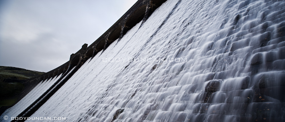
Panoramic photo: Claerwen Dam, Elan Valley, Wales

Water overflow after heavy rains, Claerwen Reservoir dam, Elan Valley, Wales

Unstad – Lofoten

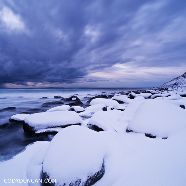
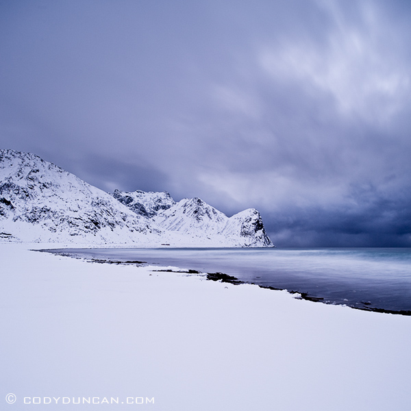
Snow covered beach, Unstad, Lofoten islands, Norway

Unstad beach, Lofoten islands, Norway.

An unrelenting storm had been hanging over the islands all day, but the weather on the islands can be quite localized, so I took a gamble that the north side might have some better weather, and indeed it did.  Emerging from the tunnel to Unstad, the snow had stopped and been divereted around the mountains that surround the village.  I wish I had arrived earlier as the day was already late and darkness – and more snow – was soon to come.