Lofoten Islands – An Evening Over Stamsund
/2 Comments/in Landscape, Lofoten Islands, Mostly Photos, Mountains, Norway, Panoramics/by CodyOne afternoon I took a hike up one of the hills above Stamsund to watch the sunset. Wasn’t the best light I’ve ever seen, but at least it was mostly clear and the wind was relatively calm. It crossed my mind to wait around a few hours in hopes of some auroras, but after waiting around for a little while, I decided it was far too cold for such an idea. Maybe I will bring a sleeping bag up nextime.
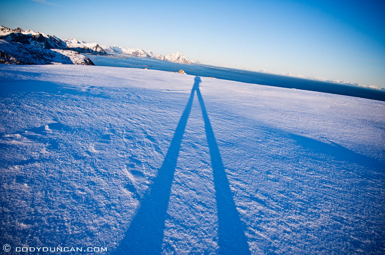
While the hike up the mountains was mostly deep snow, the top was windswept and icy. I made it to the top with a little bit of sun left, casting long shadows across the winter landscape.
Panoramic of the mountain Justadtind (in the center of photo). 4 photos at 31mm stitched together.
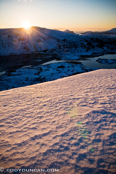
In the far north, the sun never gets very high in the sky, making more of a low circle around the horizon as the day passes on. Due to this relatively low angle of movement, the twilight time before/after sunset/rise lasts much longer up in the arctic than at milder latitudes. In only another month in a half, the sun will set for the final time of the summer. It’s amazing how long the days already are this early in the year.
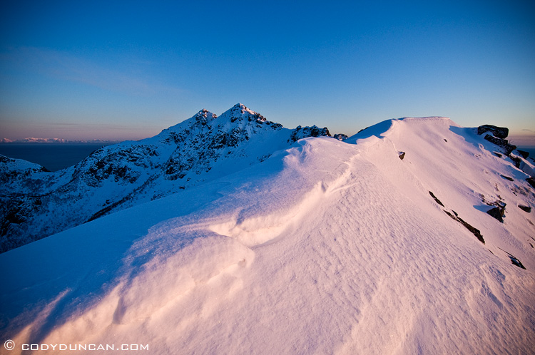
the mountain peak in the distance is Steinstind (the peak on the left is the higher one, though doesn’t appear so in the photo), the high point of the mountain ridge I was on. this photo was from near Stamsundheia. In summer it’s a nice easy hike along the ridge.
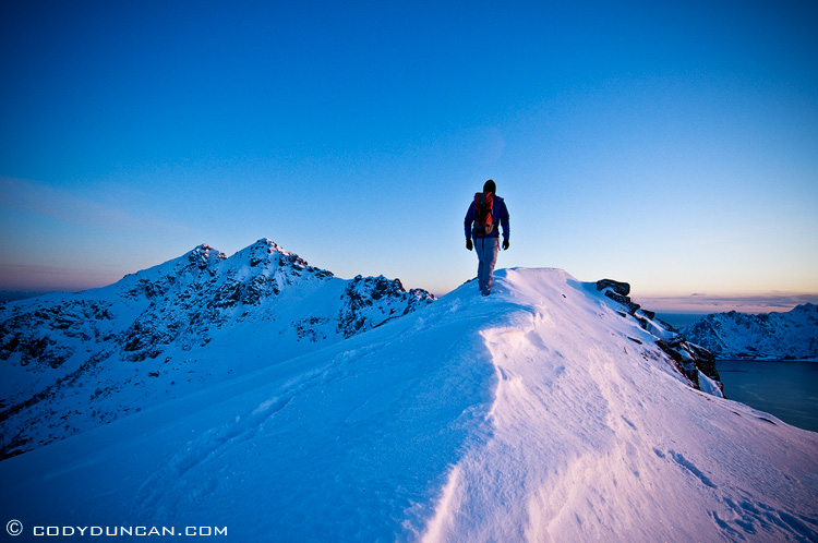
View towards the village of Ure (below mountain in center of photo), with the islands and skerries off the coast of Steine on the left of the photo.
Hoher Göll
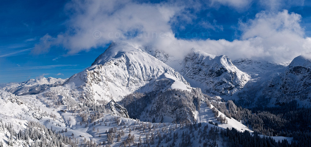
/2 Comments/in Germany, Landscape, Mostly Photos, Mountains, Panoramics/by CodyPanoramic photo Hoher Göll massif as seen from Jenner from the other week while down in the mountains of Berchtesgaden. Stitch of 4 photos at 35mm.
Storm over Göll Massif
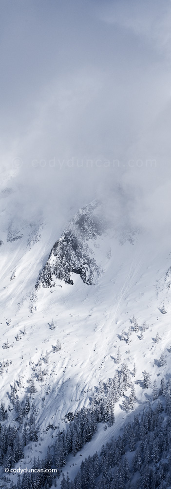
/0 Comments/in Germany, Landscape, Mostly Photos, Mountains, Panoramics/by CodySomewhere beneath the clouds should be Hohes Brett and the southern part of the Göll Massif as seen from Jenner. I hope to have time to do a multi day through hike over this area in the summer or autumn.
3 shot vertical pano with Nikon 85mm tilt-shift lens
Clearing storm over Knittelhorn
/2 Comments/in Germany, Landscape, Mostly Photos, Mountains, Panoramics/by CodyClearing storm on a beautiful Sunday morning down in Berchtesgaden national park a few weeks back. The peak in the center of the photo is Knittelhorn (2015m), the pass towards the right is the border with Austria and the Reiteralm group.
Allgäu Morning
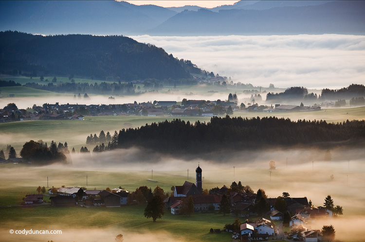
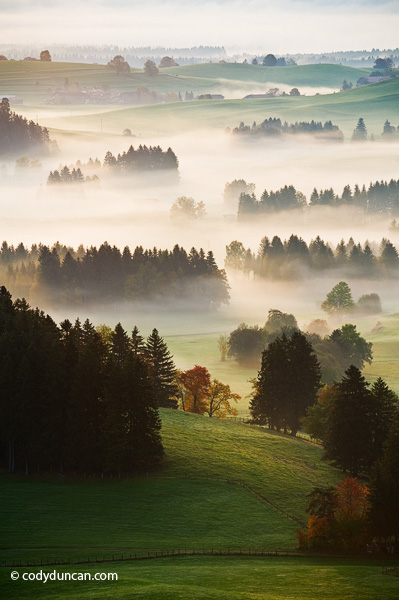
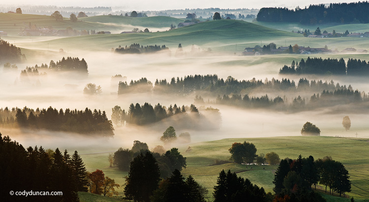
/3 Comments/in Germany, Landscape, Mostly Photos, Mountains, Panoramics/by CodyA few sunrise photos from down in the Allgäu last autumn. I wish I had done a time lapse of the fog as it cleared, was totally cool looking.
Schneibsteinhaus – Berchtesgaden
/0 Comments/in Germany, Landscape, Mostly Photos, Mountains, Panoramics/by Cody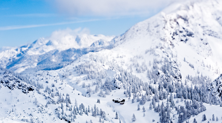
Tilt-shift panoramic of Schneibsteinhaus in Berchtesgaden national park as seen from Jenner.
Berchtesgaden
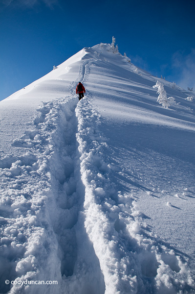
/1 Comment/in Germany, Landscape, Mostly Photos, Mountains, Panoramics/by CodyIt was non-stop snow from Friday afternoon until Sunday morning. Then the clouds parted and it was about as good of a day as can be asked for. Just a couple pics now, will post more in the next days. Busy researching any way possible so that I can stay in Germany. Have two weeks left to figure something out otherwise it’s plane ticket shopping…
A Day in the Cairngorms
/1 Comment/in Landscape, Mostly Photos, Mountains, Panoramics, Scotland, Travel/by CodyMonday May 5th was our third full day in Scotland. The weather of the preceding two days was typically “Scottish,” so as the morning fog cleared cleared into a brilliant blue sky we headed straight into the Cairngorms to take advantage of such a day. Despite the amount of time I’ve previously spent in Scotland, I’ve never hiked in the Cairngorms before. I had planned on a 6 day through hike on my first trip, but a broken camera forced me back to Glasgow to get it repaired, and I never made it.
We didn’t have any particular plan, other than to avoid hiking near the hideous funicular railway that takes tourists and skiers near to the summit of Cairn Gorm. So off we headed on some trail or another. A stream crossings here, a muddy peat bog there, then we finally started gaining a bit of elevation along some gentle ridge. One things I love about the highlands is the ease of cross country travel. Sometimes you’ll get a bit more muddy than planned, worst I’ve managed was up to my waste in some bog in the Cuillins and then had to “bathe” in a creek before hitching back to Portree, but generally the rugged tundra like terrain means you can just choose a direction and go. So after we got a bit higher up, I pulled out the map to check things out. Hmm, looks like heading up to Cairn Lochan go be a good idea, so off we went…
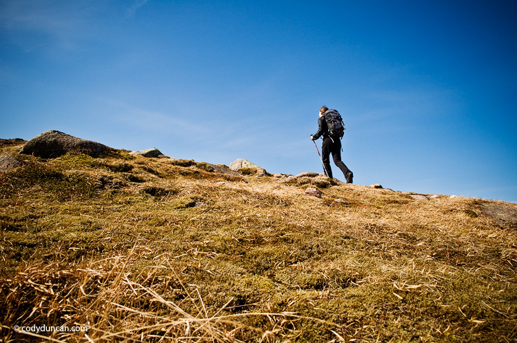
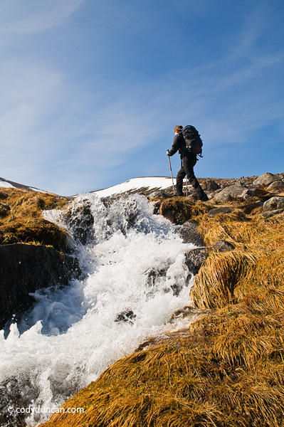
Once we reached the summit plateau we took a short break for some chocolate and lunch, or is that lunch and some chocolate. Well, Sabine ate lunch while I was running around taking pictures. No time to worry about an empty stomach in such nice conditions.
Back on the way again. Below is the summit of Cairn Lochan with Loch Morlich below in the distance. At 1215 meters it’s nothing especially high, well, nothing in Scotland is especially high for that matter.
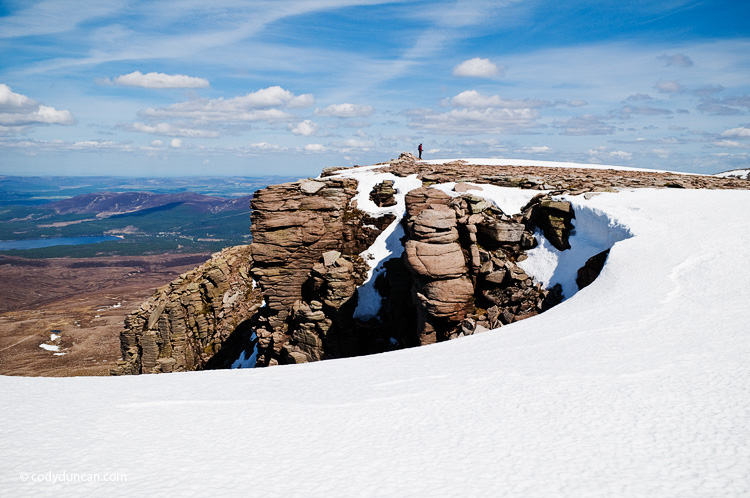
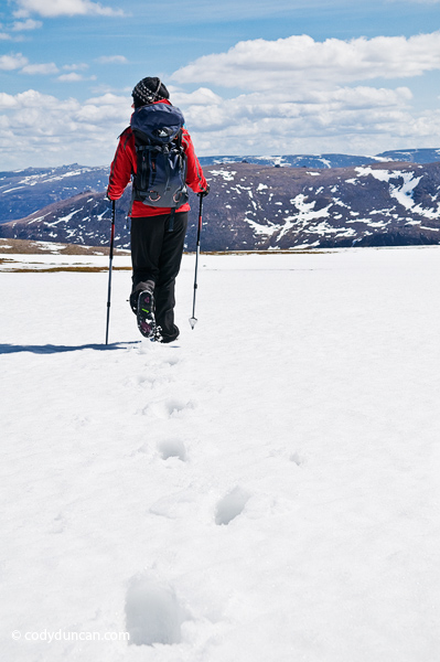
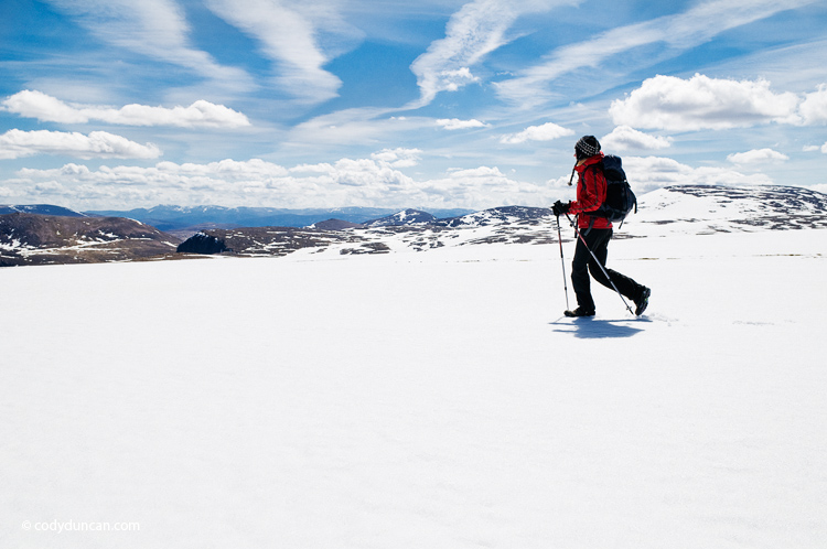
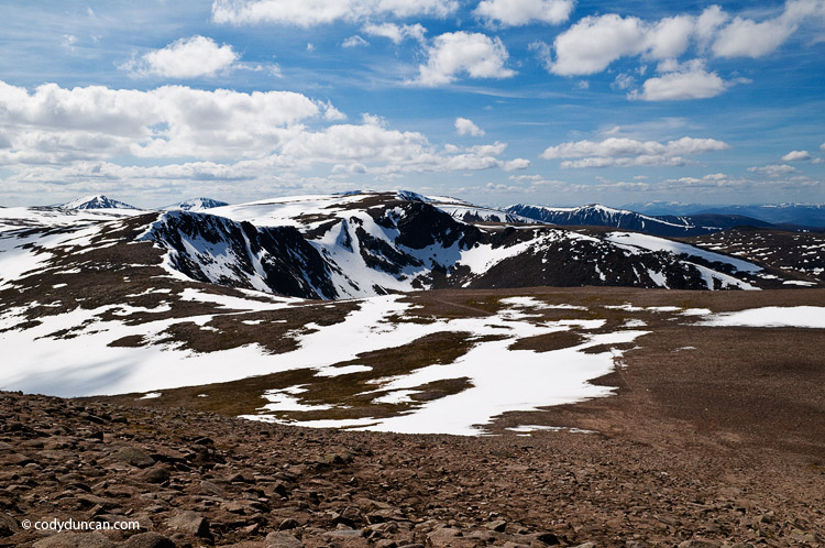
View of our way, keeping mostly along the ridge and making our way to Cairn Gorm, rising in the left of the photo.
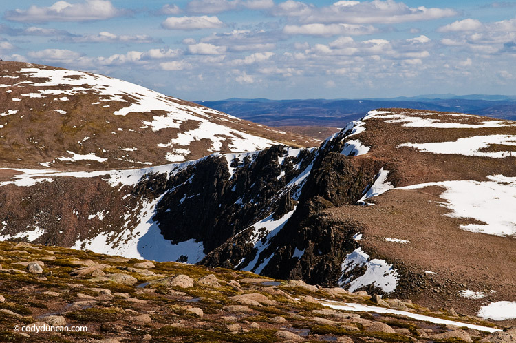
View again towards Loch Morlich and the Town of Aviemore (‘adventure capital of Scotland’) off in the distance.
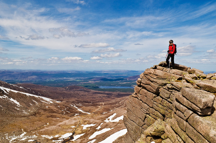
Starting to ascend the gentle slope of Cairn Gorm. This photo is looking back from where we had come. Cairn Lochan is the peak in he center of the photo. What a day and what a view!
Finally, the top of Cairn Gorm.
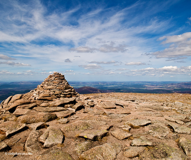
(all panos can be viewed larger by clicking on ’em)
Wettersteingebirge
/0 Comments/in Germany, Landscape, Mostly Photos, Mountains, Travel/by CodyWetterstein group in winter from near Garmisch-Partenkirchen.
9 vertical images at 200mm.
New on the Blog
- New eBook | Lofoten Islands – Northern Light December 8, 2022
- Padjelantaleden eBook update December 5, 2022
- Ebook update – West Lofoten Hikes 4th Edition May 21, 2022


