Wales – Black Mountain

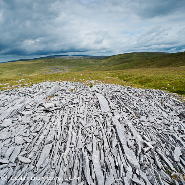
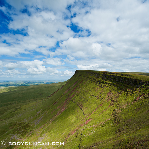
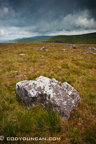
Black Mountain Landscape, Brecon beacons national park, Wales

Black Mountain (yes, singular, not plural) is the name of the westernmost range of the Brecon Beacons national park.  The other two being the Black mountains (plural this time) in the east and along the English border.  While the Brecon Beacons range, from where the national park takes its name and home to the highest mountain in south Wales (Pen Y Fan), sits between the two ‘black’ ranges.

Access into the Black mountain is about an hour from here, so I’ve only just begun to explore the area in the last weeks.  They are much more rugged and isolated that the Black MountainS here in my backyard, so I’m looking forward to spending more time out there.  There is also a roughly 100 mile long trail called the Beacons Way which runs east to west across the park which has also caught my attention for some time in the future.

Black Mountain Landscape, Brecon beacons national park, Wales

Black Mountain Landscape, Brecon beacons national park, Wales

Welsh Safari

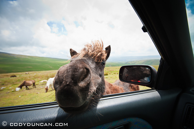
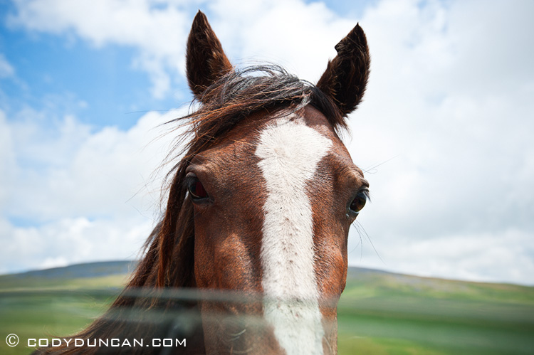
Welsh mountain pony, Black Mountain, Wales

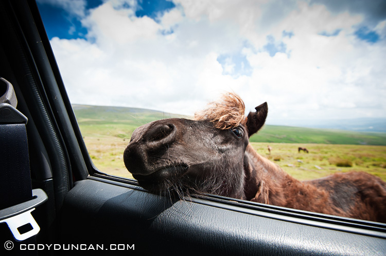
Welsh mountain ponies.  They seemed to think either I and or the car was edible.  Out in the Black mountain area on a mostly fine summer day.

Welsh mountain pony, Black Mountain, Wales

Welsh mountain pony, Black Mountain, Wales

Buachaille Etive Mor

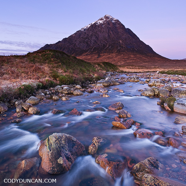
Buachaille Etive Mor, Scotland

Buachaille Etive Mor.

Probably one of the most iconic, and therefore, most photographed scenes from the Scottish Highlands.  A cold December morning last year.

68 North | Lofoten Islands Photography

Lofoten islands Norway photography - Unstad

68 North | Lofoten Islands Travel and Landscape Photography

I’ve been working for the last couple weeks on a new website for my photos from the Lofoten Islands, Norway.  I wanted a place where I could show more photos, as much of my recent work has been from the islands, but I didn’t want to completely take over my main website.  So…  I came up with 68north.com for this new project.

I’ll be traveling up to Lofoten in July, so I should update the site soon after that with more new work.

Raftsundet – Lofoten and Vesterålen

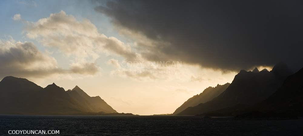
Raftsundet panoramic photo, Lofoten islands, Norway

Raftsundet – The mountains of Hinnøya on the left, Austvågøya and Lofoten on the right.  In simple terms, the Raftsund straight is the geographic border between the Lofoten Islands district and the Vesterålen district, though the southern section of Hinnøya belongs to Lofoten and the northern part of Austvågøya to Vesterålen.  Photo from September 2009 while traveling aboard the Hurtigruten to Stamsund.

Portofino and Camogli, Italy

I was over in Italy working on a project for a couple weeks back in May.  For the most part I was based in Bologna, where unseasonably bad weather brought rain and gloom nearly every day.  Luckily I was working inside most the time, so it wasn’t too bad, but it meant that any free time I had wasn’t very conductive for photography.

I did have some free time and ended up on the Italian Riviera for a few days, where the weather was a bit more cooperative.

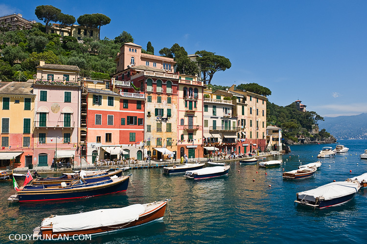
Scenic harbor and waterfront, Portofino, Liguria, Italy

Scenic little harbor in the town of Portofino, at the end of the road on a tiny peninsula.  The town is a little north of the more popular Cinque Terre region, so it is much less crowded while still pretty nice.

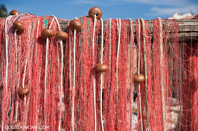
Fishing net hangs to dry in harbour, Camogli, Liguria, Italy

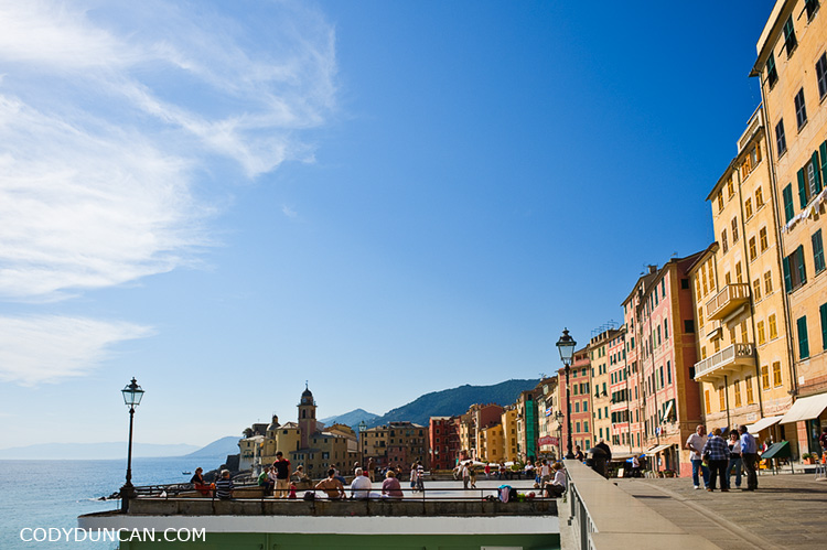
Coastal walkway and buildings, Camogli, Liguria, Italy

Camogli, another nice little town.

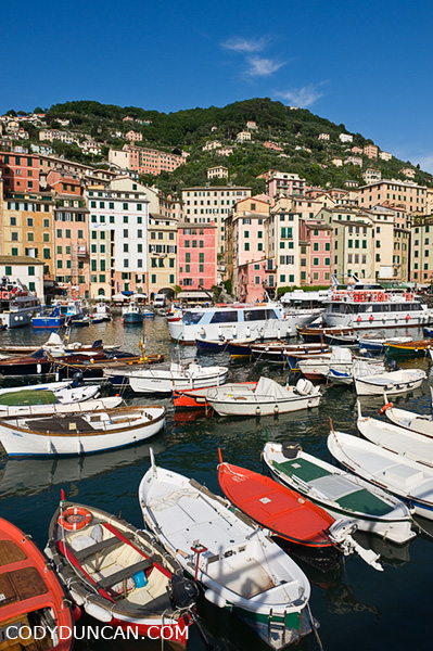
Camogli, Ligura, Italy

Harbor and hillside houses in Camogli.

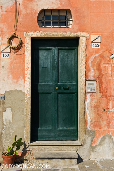
Detail of old door, Camogli, Liguria, Italy


Italy – Images by Cody Duncan

Hiking the Kungsleden Trail in Autumn

Hiking the Kungsleden trail in autumn.
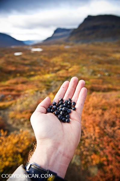
wild blueberries, autumn, Kungsleden trail, Sweden

I hiked solo on the northern section of the trail for 10 days from September 16-26 2009.  Here are a few FAQs and bits of info that may be useful to any travelers heading to the area at this time of year.

All the huts/Fjällstations/hostels along the trail are run by the STF (Svenska Turistföreningen) Swedish Tourist Association.

The STF website can be found here.

The Website will have all current info on opening/closing dates of the mountain huts, as well as some maps and other info such as services provided at each hut (ie. show up to Alesjaure a bit early and relax in the sauna)
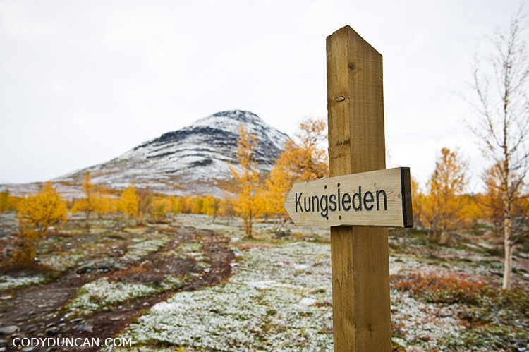
sign kungsleden trail sweden

The Huts are closed:

The huts close towards the end of September (19/9/2010).  What this means is that there will be no staff on hand, no food can be purchased, and the gas stoves will be turned off.

At least on the northern section of the trail, between Singi and Abiskojaure, all of the huts have an ‘emergency’ room (säkerhetsrum) that can be used.  These rooms vary in size and the number of beds available:

Abiskojaure – 2 beds
Alesjaure – 4 beds
Tjäktja – 2 beds
Sälka – 9 beds (big, pretty much a full size hut)
Singi – 1 bed (enough room for 2 people on floor)

Access to the wood shed, a saw and axe should be available (though I couldn’t find a saw at Alesjaure) and all the shelters have wood burning stoves which provide plenty of heat after a cold, wet day on the trail.  Water buckets for fetching fresh water, cooking and cleaning supplies are also provided.  One or two toilets will also be left unlocked.   There might be a small amount of leftover food available, but don’t depend on it.  Be sure to bring enough for the entire trip.
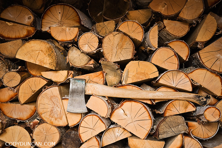
Axe and wood in Shed at hut, Kungsleden trail, Lapland, Sweden

Besides the proper STF huts, there are also several primitive shelters at several points along the trail.  These typically consisted of a single room with wooden benches along one or two walls.  Some have wood burning stoves, yet by the end of the season, there was no more wood available.  Still, if the weather is bad, better to be inside and out of the wind, even if a little cold.

Weather:
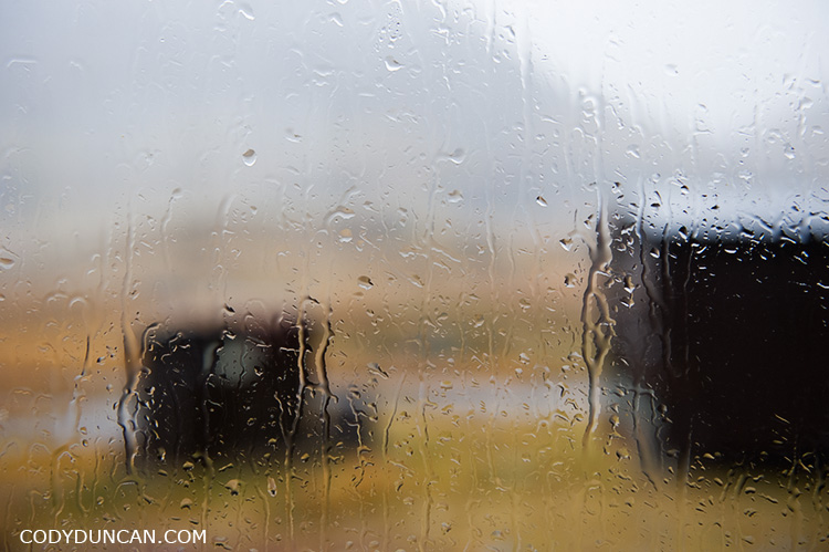
View of rainy window at Salka hut, Kungsleden trail, Lapland, Sweden

My experience from September 2009 was of predominately cold weather and strong winds.  Snow fell on several days and rain on the rest, so most of the snow that fell would be gone from the trail by the next day or two.  The temperature dropped down to about -8˚ C  on the coldest morning.  While the average day was about 3-5˚ C.   7˚ C was the warmest day I experienced.  From talking to others I seemed to get the impression that this was an unusually cold September, but one should be prepared for such conditions.  It is the Arctic and any weather is possible.
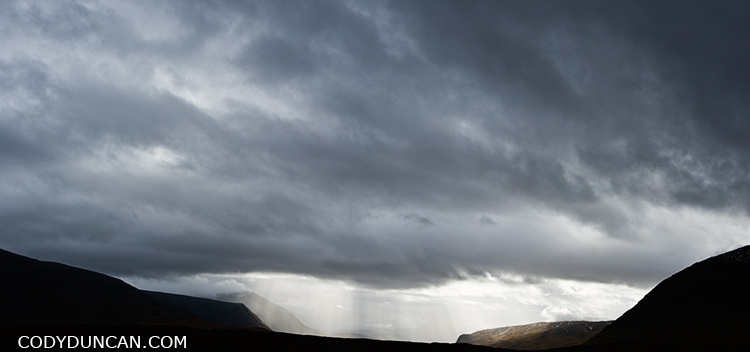
Kungsleden trail autumn rain storm sweden

Will I be alone?

Though the crowds of summer will be gone, one will not likely be totally alone on the trail.  With the exception of one night at Singi, there was always one or more people at the hut each night and I would cross 1 or 2 groups on the trail each day heading in the opposite direction.

Transport:

The Kiruna-Nikkaluokta-Kiruna bus to the trailhead of Kebnekaise Fjällstation stopped running when the huts closed, which would be 19th Sept for 2010.  There was a private taxi available, but for quite a fee.  So if one is starting late in the season, it might be better to enter the trail at Nikkaluokta and head north to Abisko as opposed to the other way around – Which is what I did and ended up walking all the way back to Abisko again.

Access into and out of Abisko is not a problem, as the train runs year round. The Abisko Turiststation hostel closes on 26th of Sept, 2010, though there are several other  possibilities for cheap accommodation in Abisko village, or just simply camp a little ways out of town.

The trail:
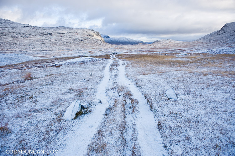
kungsleden trail Sweden september autumn snow

Even under 10-15cm of snow, the trail was alway easy to follow.  The high point, Tjaktja pass, is rocky on the north side and without a proper ‘path.‘  It could be a bit tricky as the rocks are quite slippery and hard to see under a medium amount snow, though it is not a long distance between the pass and Tjaktja hut.  The trail itself, as long as one has a map and knows how to navigate, would be hard to lose as it basically follows a series of valleys north to south.  And there are a series of markers for the winter trail that are easily visible, though these do not always follow the proper summer route.
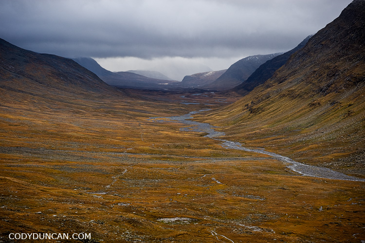
kungsleden trail Sweden Tjaktja pass

kungsleden abisko national park sweden

Why go in the autumn and not summer?

No mosquitos.
No crowds.
The color is amazing.
You like the cold.
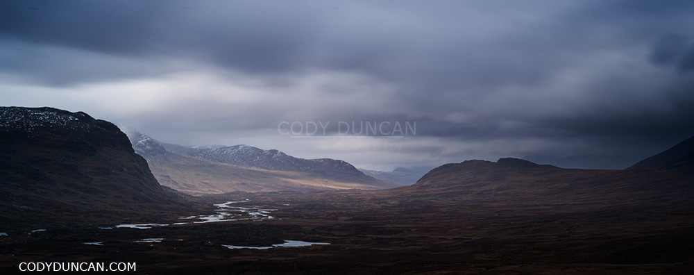
Kungsleden trail sweden mountain landscape

Autumn Storm over Vestfjord

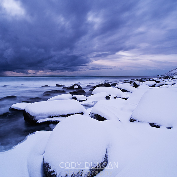
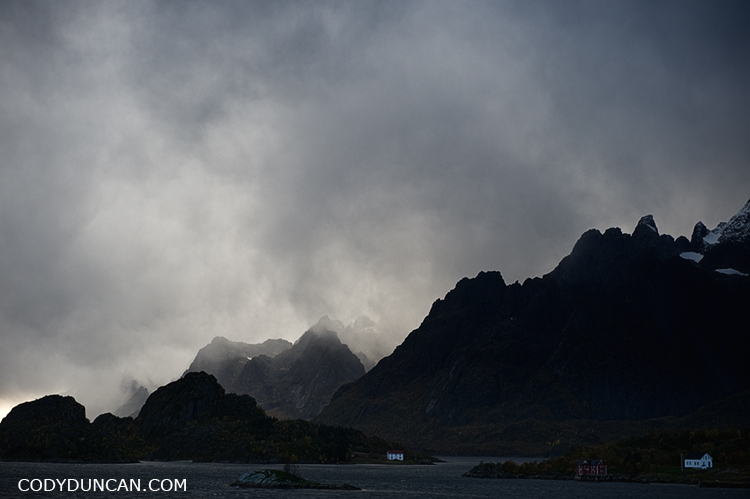
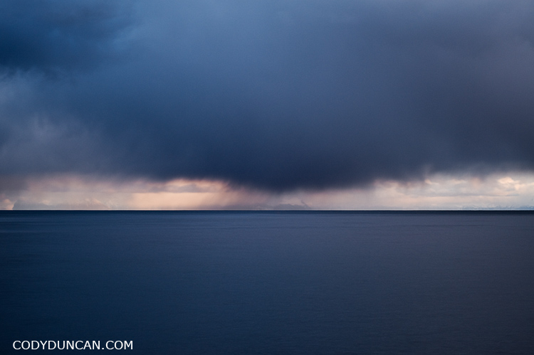
Autumn storm clouds over Vestfjord, Lofoten islands, Norway

Autumn snow flurries fall over the Vestfjord as seen from Moskenesøya, Lofoten Islands, Norway.

I’m in the process of making a new photo gallery website for the Lofoten islands that should be finished sometime in the end of June.  I thought about just putting more Lofoten photos on my main website, but I think a site dedicated to the islands is better suited.  I also hope to make it something a bit more creative and interesting than my main site, which is admittedly a bit boring.  Perhaps I’ll throw in some writings/stories as well.

I’ll also be traveling to the islands again sometime in July/August for some summer weather and long days, as opposed to the dark and cold months that have consisted of my last few trips.

Henningsvær – Lofoten Islands

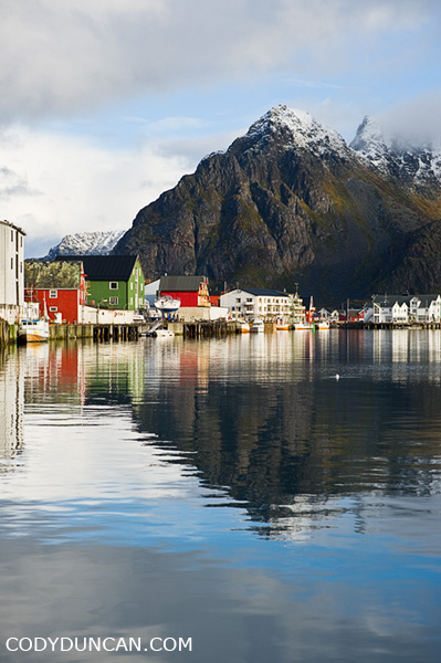
Travel photography, Henningsvaer, Lofoten Islands, Norway

Harbor reflection at Henningsvær, Lofoten Islands, Norway.  I think it’s with good reason Henningsvaer is nicknamed the ‘Venice of the North.’

Å I Lofoten – Lofoten Islands winter

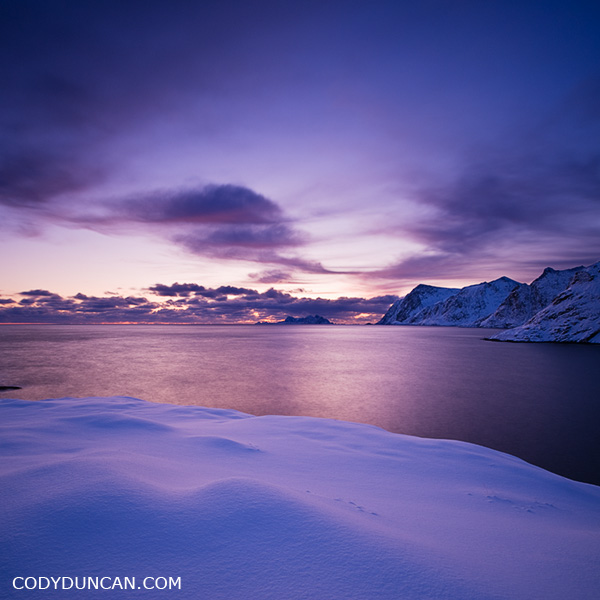
A I Lofoten in winter, Lofoten Islands, Norway

Winter view from Å (I Lofoten) towards the southern end of the islands.  The peaks of Værøy can be seen in the far distance.  This was the 6th of January, the first day the sun rose above the horizon since the middle of December.