Butt of Lewis Winter Storm
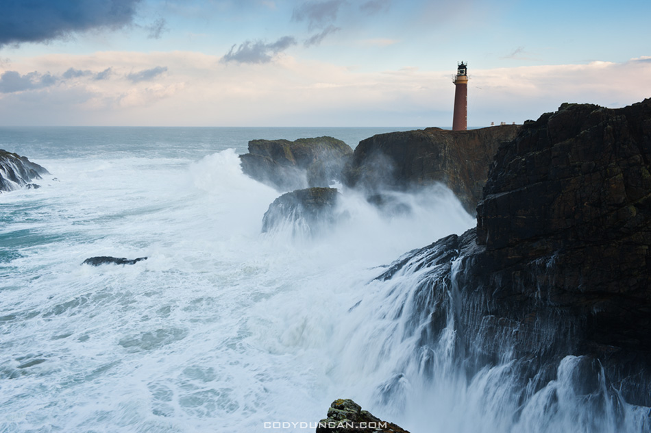
Outer Hebrides Butt of Lewis lighthouse storm

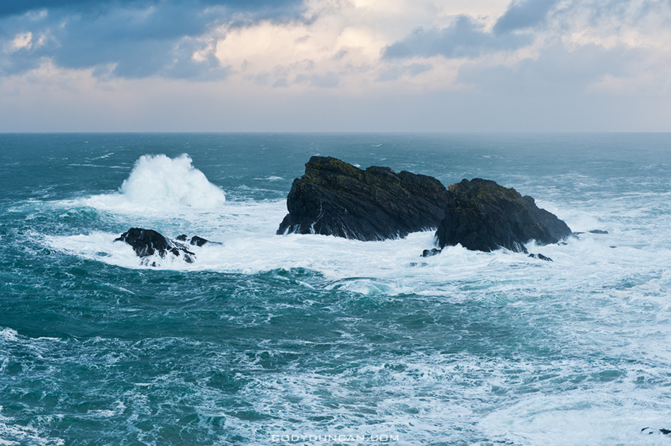
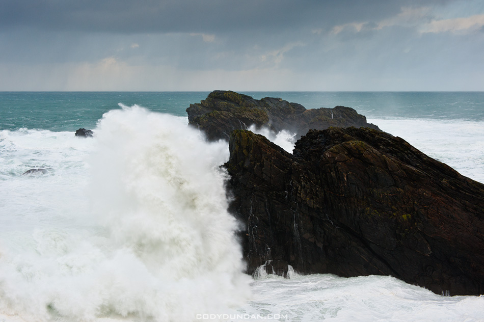
Photo: Large winter waves crash into cliffs below lighthouse at Butt of Lewis, Isle of Lewis, Outer Hebrides, Scotland.  Jan 2, 2012

After bringing in the new year on Berneray, we took the ferry to the isle of Harris and then drove north to the Butt of Lewis, the northern most point on the Outer Hebrides.  The cliffs here are the first point of land reached by hundreds of miles of wind and waves coming from the north Atlantic.  And in the gale force winds on early January 2012, the waves were pounding the cliffs with a fury and power that I normally only see in nature documentaries.  While the waves can and do get bigger here, it was still quite an impressive sight and even there seemed to be a few locals turning up to checkout the show.

I tried my best to capture some images, but the combination of low light levels, high winds and my all too light tripod didn’t do much to help the situation.  I couldn’t even let go of my camera or everything would blow over.  I managed to find a few locations that wont overly affected by sea spay, but these weren’t always the most ideal views.  If I were some cameraman a BBC documentary, it would have been one of those behind the scenes moments where they talk about extreme working conditions.  I also found it difficult to show scale in the scene.  I’d estimate the cliffs at about 40-45 ft in height.  The lighthouse tower is 121 ft high, so that helps a bit in that image.
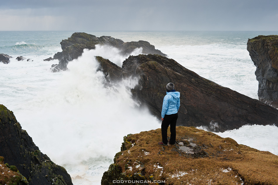
Outer Hebrides Butt of Lewis winter storm

Photo: Watching waves crash into rocks at Butt of Lewis, Isle of Lewis, Outer Hebrides, Scotland.  Jan 2, 2012
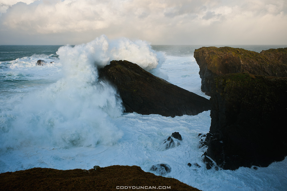
 

Outer Hebrides Butt of Lewis winter storm


Outer Hebrides Butt of Lewis winter storm


Outer Hebrides Butt of Lewis winter storm


Outer Hebrides Butt of Lewis winter storm

Scotland

Isle of Lewis storm waves

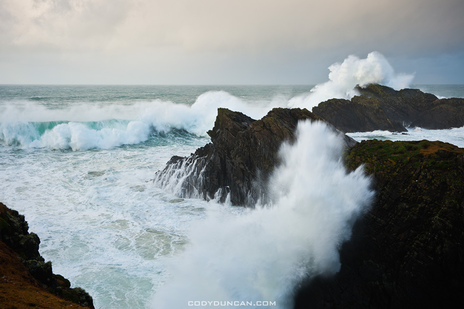
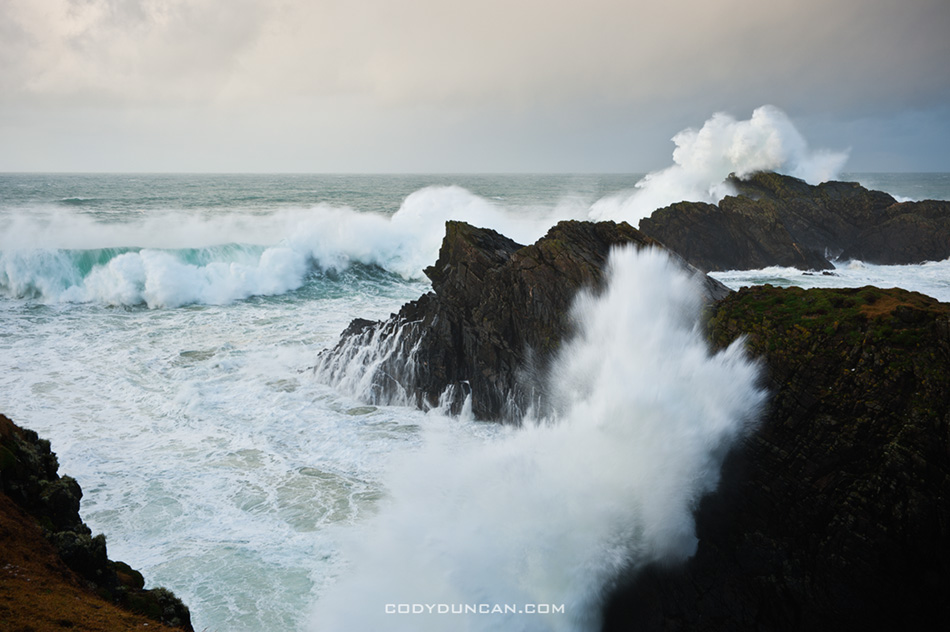
Photo: Waves crash into coastal headlands at the Butt of Lewis, Isle of Lewis, Scotland.  Jan 2, 2012

I woke up at 3:00 AM Monday morning to the sound of rain pattering against the car.  It was my second night camping in Glencoe, a brief stopover on the way back south from a week on the Western Isles over the New Year.  More rain I thought to myself.  Endless Damned rain!   Uggghhh.  Sunrise would arrive in 5 hours, but I knew I would see nothing but a wet grey sky.  So at that, I got in the drivers seat and headed into the darkness across Rannoch Moor to start the 8 hour drive back to Wales.

Now Scotland is not exactly a sunny country, but it turns out I decided to head north to catch the last days of the wettest December in a hundred years.  And I have no doubt the trend was continuing right along into 2012 without stop.  From December 31st on Berneray to the early days of January on the Isles of Lewis, Harris and across to Skye, a gale blew, non-stop, day and night, forever.  I’m no stranger to bad weather, but usually there is some calm at some point.  Not here, not for me.  I never knew the wind could blow so much for so long.  And it’s not as if I even caught the start of it, it has been blowing up there for weeks.  It’s as if there is some hole in the atmosphere above Scotland and all the the earth’s air is escaping, though not prior to releasing an ocean’s worth of rain.

At times I could hardly walk.  Sometimes hail fell so hard I though the car’s windshield would crack.  Huge Atlantic swells battered the headlands at the Butt of Lewis,  sending spray high into the air and seeming to make the ground shake with their power.  There were even cancelations of the ferries to the islands, a rare thing.  Though I’m sure a captain or two would have tried to take a boat across if he could. I think some of them must be born of the sea itself after hearing about some of their crossings.

So despite the conditions and feelings of frustration and failure, I did manage to find some fleeting moments to make some images.  Maybe not the images I had in my mind, but a few decent ones none the less.  And more reason to return again in the future.  I’ll add more details and photos over the next days.


Haukland Beach – Lofoten Islands

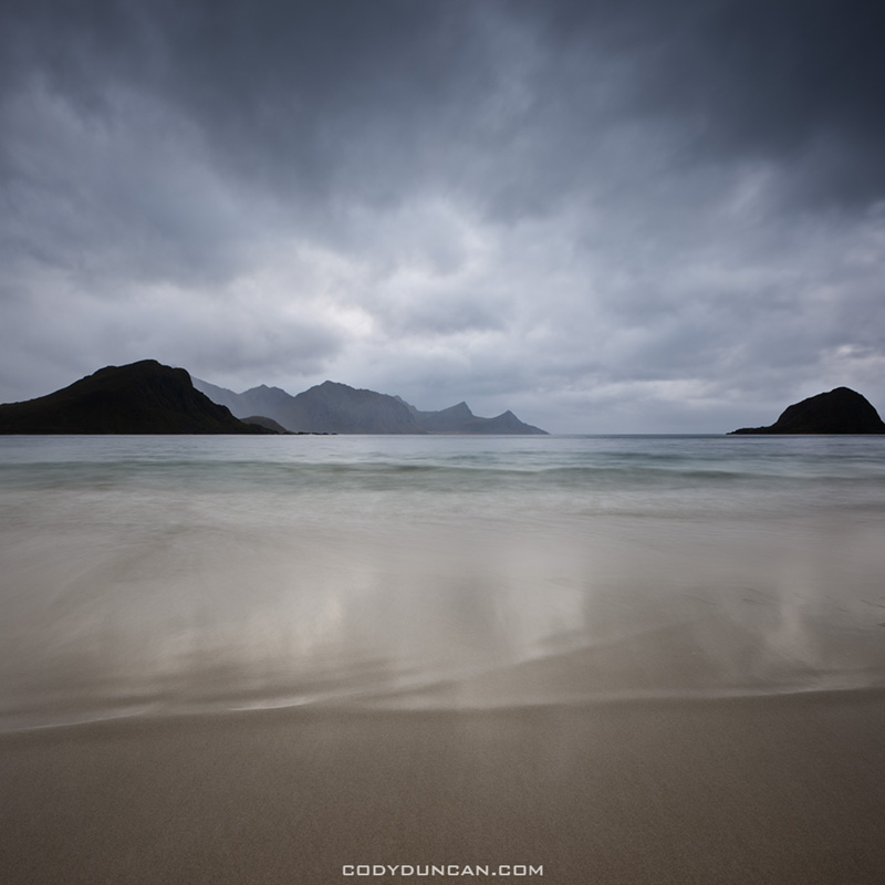
Haukland Beach, Lofoten Islands, Norway

Photo: Haukland Beach, Lofoten Islands, Norway.  Oct. 2011

I usually end up with interesting conditions at Haukland.  It’s immediately before the tunnel to Utakleiv and sheltered by fairly high peaks, making it a good, calmer, backup when Utakleiv is just too stormy to work with.   The beach faces southwest, so it can be a decent sunset location for early spring or late autumn.

Rolvsfjord – Lofoten Islands

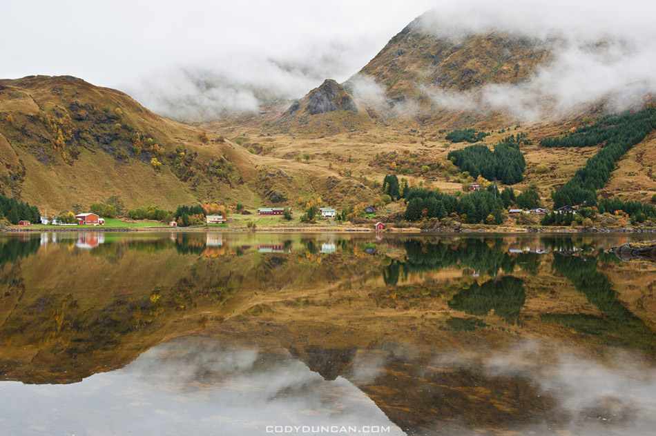
Rolvsfjord, Lofoten Islands, Norway

Photo: Mountain reflection at Rolvsfjord, Lofoten Islands, Norway.  Sept. 2011

One of the cool things about the Lofoten Islands is how localized the weather can be.  This is from a day I was driving along the southern coast from Stamsund towards Valberg and further towards the E-10.  It had been raining with a pretty strong breeze until I went around another turn and found this.  Perfect calm.  A bit further down the road and the rain and wind were back.  I think it looks a bit Lord of the Rings-ish.

Lofoten Coast

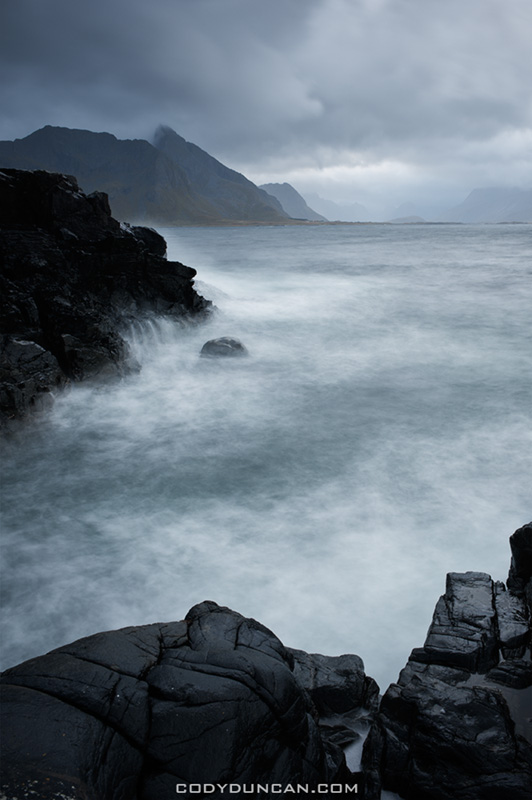
Lofoten islands, Norway

Photo: Stormy sky and sea on Lofoten Islands coast.  Sept. 2011

I think at some point this month I’ll make a post with a photo from every day from my last Lofoten trip just so everyone can get a better sense of what the days are like over a week or more.  (Hint: lots of clouds, rain, wind).  This image is from the first set I made and shows the conditions I arrived to.  I found a slightly sheltered area among the rocks that kept the wind down as good as could be in the situation.  The main problem was that I was facing into the wind with passing rain, so I could only manage an image or two before having to clean my lens.