Tag Archive for: panoramic photography

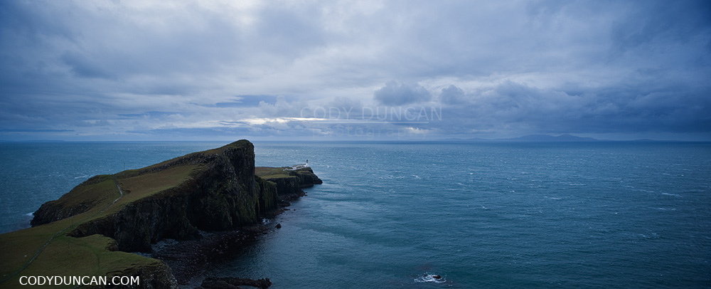
Neist Point Lighthouse – Isle of Skye

Neist Point Lighthouse panoramic landscape photo, Isle of Skye, Scotland

Neist Point Lighthouse, Isle of Skye, Scotland.

What can’t be seen in these photos is the 60-70 mph winds that were screaming over the the island.  Near where I was standing for the first photo was a small waterfall, flowing completely in reverse.  No water was making it down the cliff, it was all being blown backwards towards were it came, and soaking me as I had to pass by.

If there was bus service to Neist Point, it would probably be the most popular tourist location on Skye, but since it is a fairly long drive from Portree, it’s only the 2nd most popular location.  On a nice sunny (and calm) day it is a pleasant place to hike around and enjoy the scenery – some of the most dramatic cliffs on Skye are here. There is a paved walkway most of the way to the lighthouse, but if it has been raining a lot, bring waterproof boots if you want to go further as there is some fairly evil bog that needs to be crossed.  The mountains of South Uist are visible in the distance.
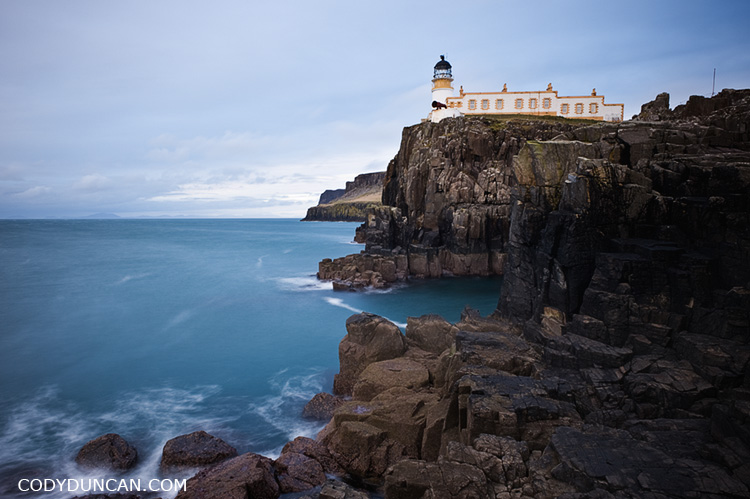
Neist point lighthose and sea, Isle of Skye, Scotland

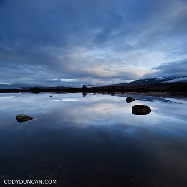
Loch Ba – Rannoch Moor

Scottish landscape photography - Loch Ba, Rannoch Moor

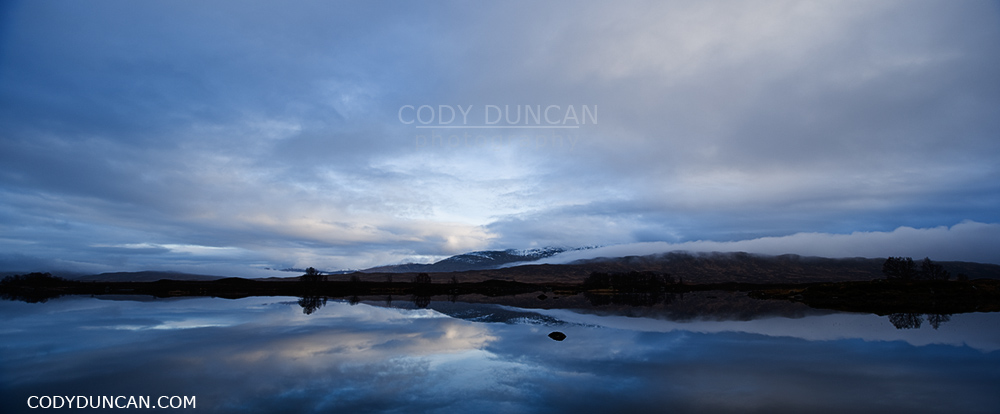
Loch Ba and Rannoch Moor on a cold December afternoon.  I was given a few moments to photograph the still water, then drop, drop, drop and the return of the rain.

Panoramic scottish landscape image - Loch Ba, Rannoch Moor

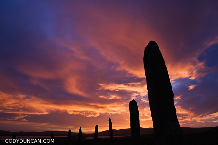
Ring of Brodgar – Orkney

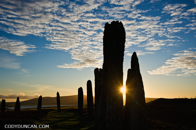
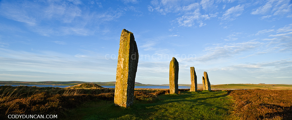
Ring of Brodgar, Orkney, Scotland, stock image

Winter dawn at Ring of Brodgar, Orkney, Scotland.

In December, the sun has little strength to rise very far above the horizon this far in the north.  The winter days are short and the nights long, only to be reversed in a few months during the endless days of summer.  Such a contrast of light at dark that I never knew growing up at a more mild latitude.  No wonder that the sun played such an important role in the lives of the ancient peoples of this barren land.

It is always a strange feeling for me to walk amongst something so old.  To think that these stones have seen some 5,000 winters, and will probably see another 5,000 more;  it helps to put things in perspective about the importance of our ‘achievements.’

Salton Sea – Bombay Beach

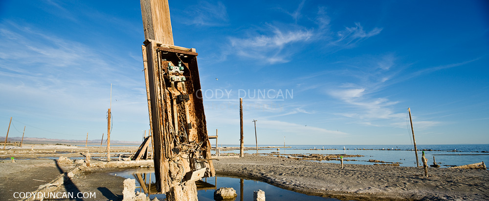
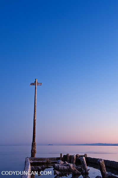
Bombay Beach, Salton Sea, California panoramic stock travel photography

Bombay Beach, Salton Sea, California.

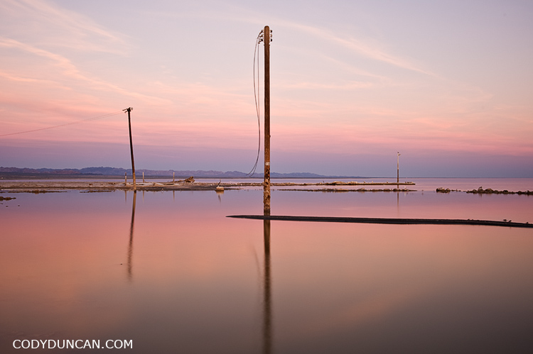
Bombay Beach, Salton Sea, California stock travel image

Bombay Beach, Salton Sea, California stock travel photos

Alabama Hills – California

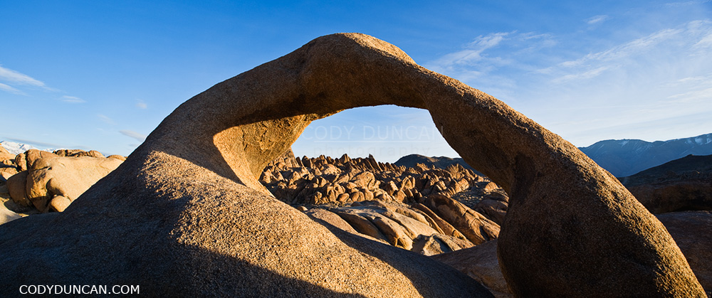
Mobius arch at Alabama Hills, near Lone Pine, California

Mobius arch, Alabama Hills, Owen’s Valley, California

I think one of the coolest things about the Alabama Hills is that no matter how many times one has been there, there is always something new to photograph.  Be it exploring some new area, different weather, or different time of year. The hills and mountains are always changing.  One of the reasons it is one of my favorite places to go.

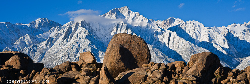
Granite rock formations of Alabama Hills with Lone Pine peak and Sierra Nevada mountains in background, California

Granite rock formations of Alabama Hills Sierra Nevada mountains in background, California

Lone Pine Peak

Lone Pine peak and Sierra Nevada mountains panoramic image

Lone Pine peak in dawn light, Sierra Nevada Mountains, California.

Mount Whitney Sunrise

Mt. Whitney and Sierra Nevada mountains, California panoramic landscape photo

Winter sunrise over mount Whitney and the Sierra Nevada mountains as seen from the Alabama Hills, California.

This is a location that is better photographed in winter/early spring.  Besides it not being 110˚ F as it can be in summer.  The main reason is that the winter sun rises further towards the south, which creates better patterns of shadow and light on the mountain ridges than occur in summer.  And then there’s always something nice about the day’s first light on freshly fallen snow.  I find in summer this scene can also appear slightly ‘tired’ and dry, for lack of a better description.

Footprints Everywhere! Wanderings Among the Mesquite Flat Sand Dunes – Death Valley

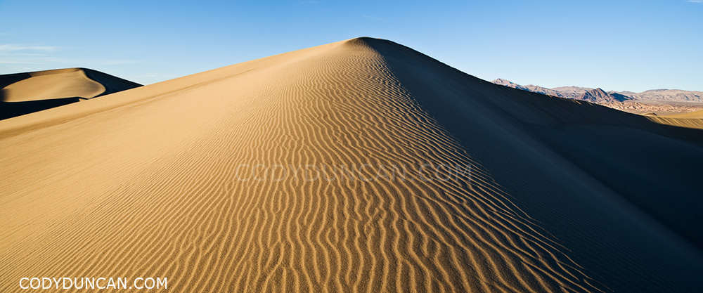
Panoramic landscape photo - Mesquite flat sand dunes, Death Valley, California

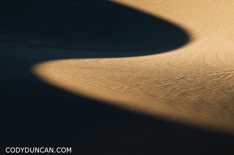
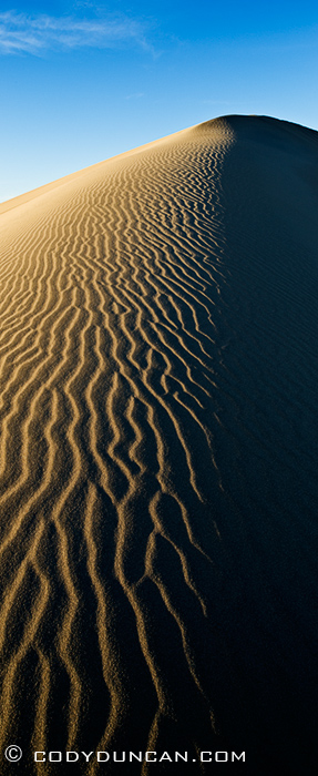
Mesquite Flat sand dunes, Death Valley national park, California.

It was a frustrating exercise in futility wandering among the dunes, in search of the Dune that I had in my mind.  The Dune with that perfectly sculpted ridge, gently rounded and allowing the late afternoon shadows to gently fall across.  The untouched patterns of a thousand years of wind blown into the sand, like a sea of snakes racing into the distance.  The Dune, rising alone into the sky above all others, casting ever growing shadows as the sun determines the day has been long enough.
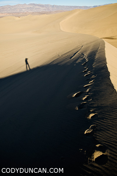
Judging by the amount of footprints, half the world must also be searching for that perfect dune.  I wandered for miles and hours.  In straight lines, circles, and zigzags.  To the tops of the highest dunes and into the lowest valleys.  North, south, east, west, and at one point, clear across the whole of the dunes.  My water bottle empty, mouth dry, I still wandered.  And everywhere, footprints!

It’s mostly my fault though.  The Mesquite dunes are right on the side of the road in a fairly popular national park, so what should I expect other than that lots of people walk among them. If  I was in some middle of nowhere place in north Africa and experienced the same, then I would be a bit more frustrated.  And winter is the best time in Death Valley as the temperatures are tolerable.  This year especially, with higher than average rain has probably drawn more people to the park to see the normally dry lakes not dry.

California landscape photography - Mesquite flat sand dunes, Death Valley national park

Panoramic landscape photo - Mesquite flat sand dunes, Death Valley, California

California travel photographer Cody Duncan - Self portrait on sand dunes in Death Valley

Badwater Rain – Death Valley

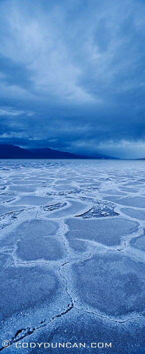
panoramic landscape photography - Rainclouds over Badwater Basin, Death Valley, California. February 27, 2010

A stormy morning at Badwater basin in Death Valley national park, California.  At 282 feet below sea level, Badwater is the lowest place in the North America.  Normally the lake bed is bone dry with 1.9 inches of average annual rainfall in the valley, but this year has been an above average rain year so there is a fair bid of water flooding the basin at the moment.  In this photo though it actually looks dry due to the fact that the wind was quite strong and litterally ‘pushed’ the water away, while on the previous day this area had been submerged.

Two Vertically shifted photos from Nikon 24mm tilt-shift lends for the vertical panorama.

Kungsleden Photo Gallery

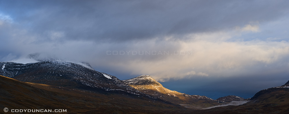
Kungsleden mountain landscape, Singi, Lapland, Sweden

Kungsleden photo gallery: Click here

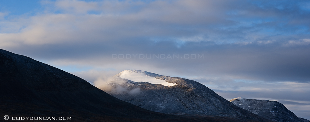
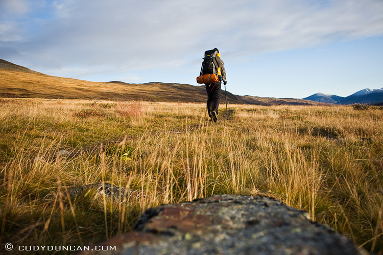
I’ve created a image gallery from my hike on the northern section of the Kungsleden trail in Swedish Lapland.  Weather was pretty bad – Sept 17 was the first day I was snowed on – so most of the pictures are of clouds.  When I go back again one of these years, I think I would like to be there for the beginning of September.  Though I was told that the autumn/winter came early last year and that it was colder than normal, so maybe I just had a bit of bad luck.  Still, it’s an amazing place so I would not complain about going back and wandering around for a few weeks.

Panoramic landscape stock photography: Mountain landscape, Kungsleden, Lapland, Sweden

Outdoor lifestyle photo - Solo hiker on Kungsleden trail, Lapland, Sweden