Tag Archive for: hiking

Brecon Beacons Winter

We’ve had a fair bit of snow here in the south of Wales (and the UK as a whole, causing quite a bit of chaos) over the last week (snowing right now as well).  My current location is right on the edge of the Brecon Beacons national park, so it’s been nice to get up into the hills over the last days.  On Sunday and Monday I was up on Pen Y Fan and Corn Du.  Tuesday was a wonderful day up on Fan Fawr and this morning (Wednesday) was a dawn patrol run up Pen Y Fan and Corn Du again in hopes of a nice sunrise, which never materialized.

Brecon beacons national park winter snow december 2009 Panoramic landscape photo

Panoramic image of view from Pen Y Fan looking towards Cribyn.  Sunday was a day of 50-60  mph winds blasting across the summits and ridges throwing snow everywhere.  A layer of clouds sat about 200 meters above the mountains forming a constantly changing show of light and shadow.  A constant struggle to keep the lens free from spindrift – actually better to keep the lens hood off, as it would create some weird wind vortex that would bring more snow.

Brecon beacons national park winter snow december 2009.  Pen Y Fan in clouds

Pen Y Fan concealed behind clouds as seen from Corn Du.  Monday was a much calmer day with slow moving clouds forming over the summits and then clearing again.

Kungsleden – the Huts

The STF (Svenska Turistföreningen) runs a series of mountain huts (fjällstuga) along the Kungsleden trail. The huts are only open until the 20th of September but they all have an ’emergency hut’ which stay open year round which one is able to stay in.  Leaving Abisko and heading south, the first hut is Abiskojaure.

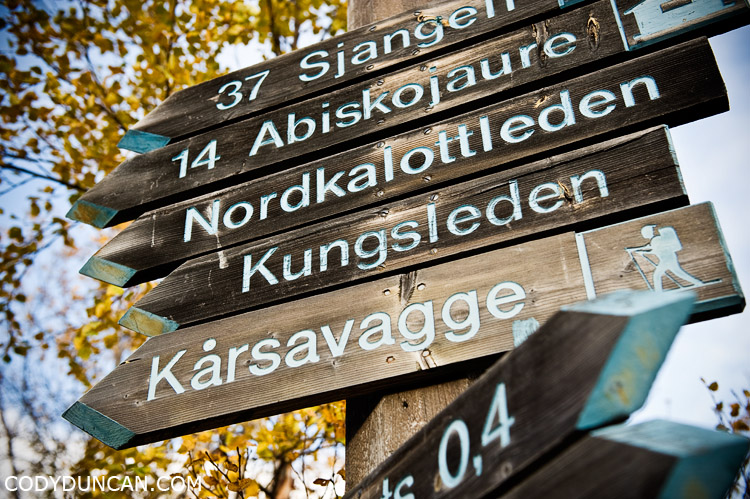
Kungsleden sweden travel photography: route and distance signs at start of trail in Abisko

Kungsleden sweden travel photography: Abiskojaure hut

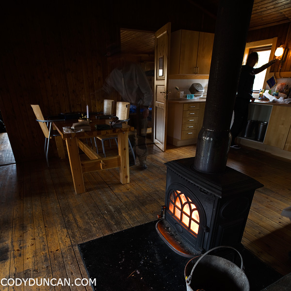
Fire warms the kitchen in Abiskojaure hut.

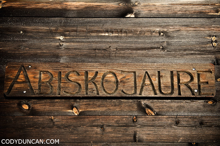
Kungsleden, Sweden, Abiskojaure hut sign

click link to read more…

Read more

Kungsleden

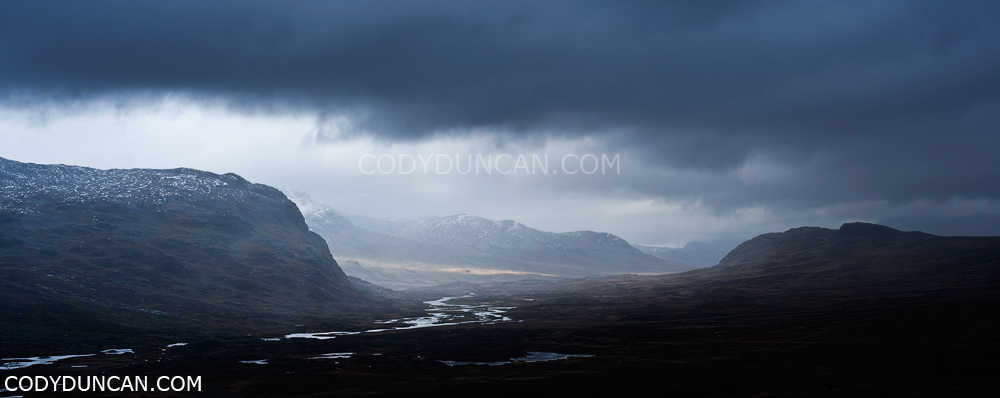
Kungsleden trail, Sweden: Panoramic landscape photo from Tjaektja

Typical weather during my 10 days on the Kungsleden trail.  View from near Tjaektja hut, looking north up the Alisvaggi towards Alesjaure.

The landscape is totally amazing and beautiful, despite the weather.  Barren rugged mountains with rivers and waterfalls everywhere.  Most of the northern section of the trail is above the tree line.

(working on some small netbook, so not too sure about the color.  Hope its not too bad.)

A Day in the Cairngorms

Monday May 5th was our third full day in Scotland. The weather of the preceding two days was typically “Scottish,” so as the morning fog cleared cleared into a brilliant blue sky we headed straight into the Cairngorms to take advantage of such a day. Despite the amount of time I’ve previously spent in Scotland, I’ve never hiked in the Cairngorms before. I had planned on a 6 day through hike on my first trip, but a broken camera forced me back to Glasgow to get it repaired, and I never made it.

We didn’t have any particular plan, other than to avoid hiking near the hideous funicular railway that takes tourists and skiers near to the summit of Cairn Gorm. So off we headed on some trail or another.  A stream crossings here, a muddy peat bog there, then we finally started gaining a bit of elevation along some gentle ridge. One things I love about the highlands is the ease of cross country travel. Sometimes you’ll get a bit more muddy than planned, worst I’ve managed was up to my waste in some bog in the Cuillins and then had to “bathe” in a creek before hitching back to Portree, but generally the rugged tundra like terrain means you can just choose a direction and go. So after we got a bit higher up, I pulled out the map to check things out. Hmm, looks like heading up to Cairn Lochan go be a good idea, so off we went…

travel lifestyle stock image: Female hiker in alpine terrain of Cairngorm mountains, Scotland

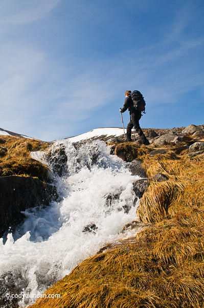
Travel stock photography: Female backpacker hikes near running river in cairngorm mountains, Scotland

Once we reached the summit plateau we took a short break for some chocolate and lunch, or is that lunch and some chocolate. Well, Sabine ate lunch while I was running around taking pictures. No time to worry about an empty stomach in such nice conditions.

Panoramic stock photography: Female hiker takes in view of Cairngorm mountains from near summit of Cairn Lochan, Scotland

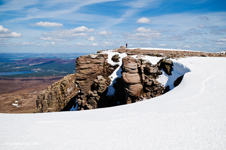
Back on the way again. Below is the summit of Cairn Lochan with Loch Morlich below in the distance. At 1215 meters it’s nothing especially high, well, nothing in Scotland is especially high for that matter.

Travel stock photography: Person stands in distance on summit of Cairn Lochan in the Cairngorms, Scotland

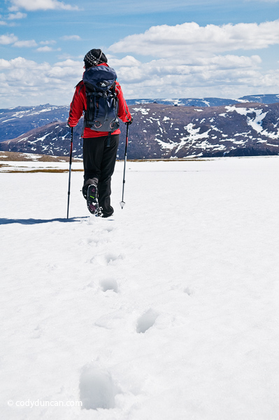
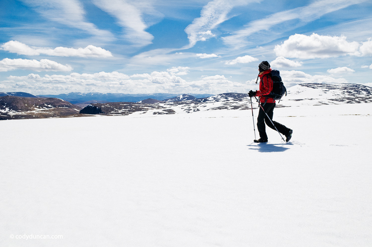
Adventure stock photography: Female hiker crosses snowfield near summit of Cairn Lochan in the Cairngorm mountains, Scotland

Adventure stock photography: Female hiker crosses snowfield near summit of Cairn Lochan in the Cairngorm mountains, Scotland

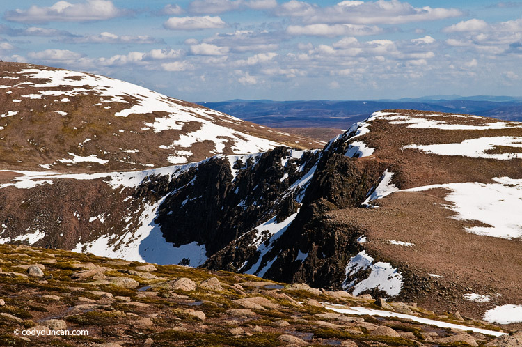
View of our way, keeping mostly along the ridge and making our way to Cairn Gorm, rising in the left of the photo.

Scotland stock landscape photo: cairngorm mountains in spring. Cody Duncan photography

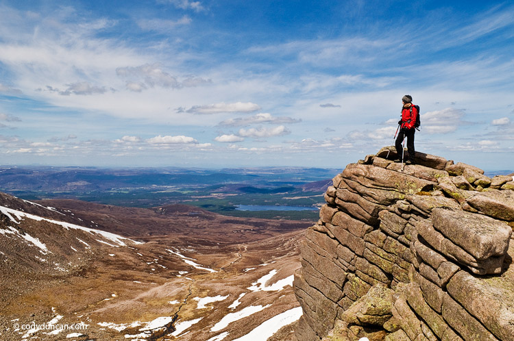
View again towards Loch Morlich and the Town of Aviemore (‘adventure capital of Scotland’) off in the distance.

lifestyle stock travel photography: Female hiker stands on cliff near Cairn Gorm in the Cairngorm mountains of Scotland

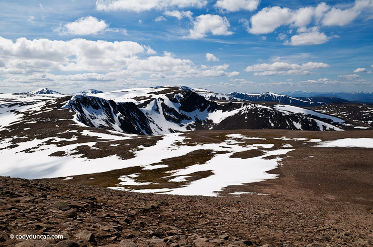
Starting to ascend the gentle slope of Cairn Gorm. This photo is looking back from where we had come. Cairn Lochan is the peak in he center of the photo. What a day and what a view!

Scotland stock landscape photo: cairngorm mountains in spring. Cody Duncan photography

Panoramic landscape stock photography: Cairngorm mountains with spring snow, Cairngorms, Scotland

Panoramic landscape stock photography: Cairngorm mountains with spring snow, Cairngorms, Scotland

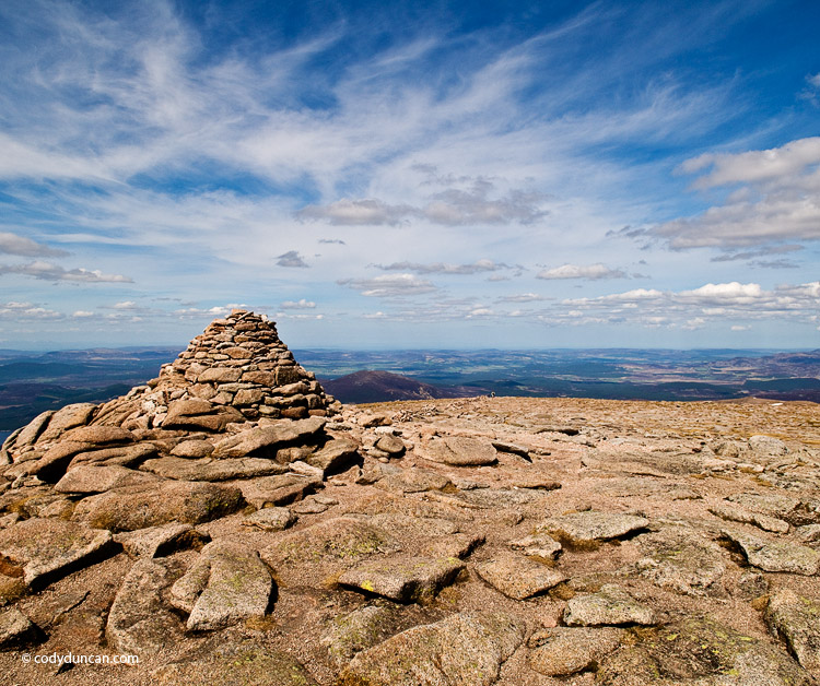
Finally, the top of Cairn Gorm.

Cairngorms, Scotland: Summit cairn on Cairn Gorm. Cody Duncan photoCairngorms, Scotland: Summit cairn on Cairn Gorm. Cody Duncan photo

(all panos can be viewed larger by clicking on ’em)