Callanish Standing Stones – Isle of Lewis
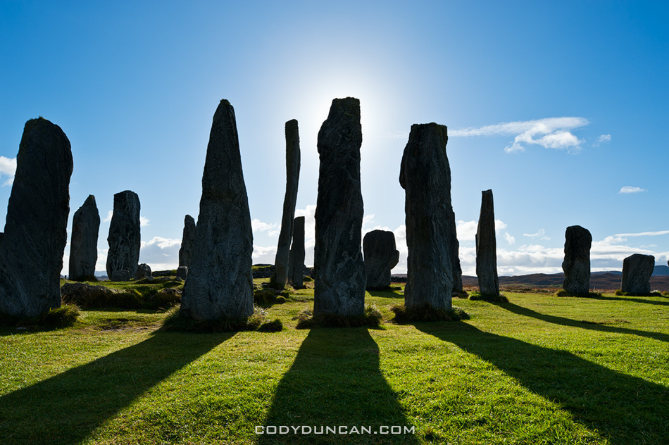
Callanish standing stones

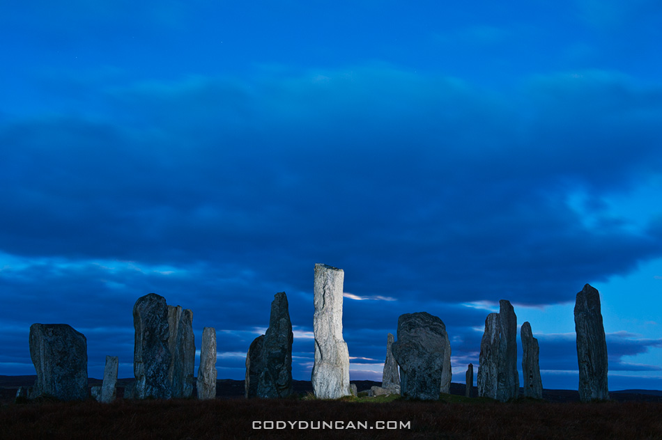
Photo: Callanish standing stones, Isle of Lewis, Outer Hebrides, Scotland

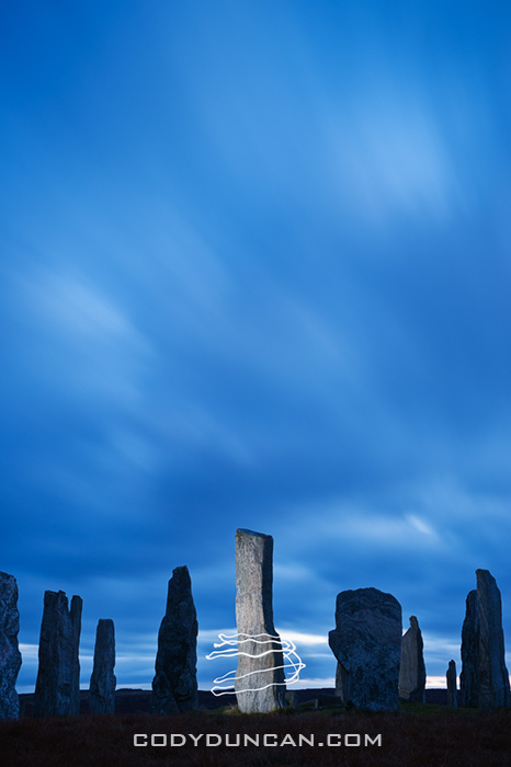
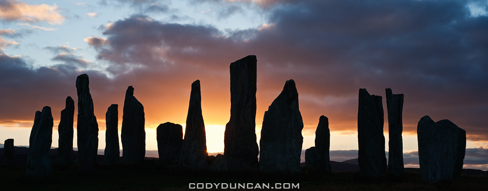
The standing stones at Callanish are one of the more important sites in Scotland.  These image are from the main stone circle, but there are also several other smaller circles within view from this location.  And although I’ve done my best to make the location look isolated, in reality there is a village and houses just a 100 meters away.  Kind of takes away a bit of the mystery of a place like this.  For me it is some ancient place out of the long forgotten past.  In my mind it would be better located off in some distant boggy moorland with nothing else around.  For the locals of the village, it’s just a place they walk their dogs through.  The other stones at Callanish are just in the middle of sheep and cow pasture.

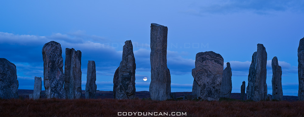
Anyhow, even though the stones have been photographed a million + times, they where still one of the locations I wanted to visit on my island trip.  I first stopped by in mid afternoon and got lucky with some blue sky and sun.  next I returned just prior to sunset and again was lucky and had about 10 minutes of sun before it disappeared behind the clouds.  I waited a bit into the night and was again lucky with the rising full moon.  I got a bit bored, and cold, waiting around for the sky to darken so I pulled out my flash and decided to play around a bit.  I must have looked like a complete mad man, running around the stones in the dark, popping off my flash at apparently random times, then running back to my camera.  Luckily I was the only one around by this point.
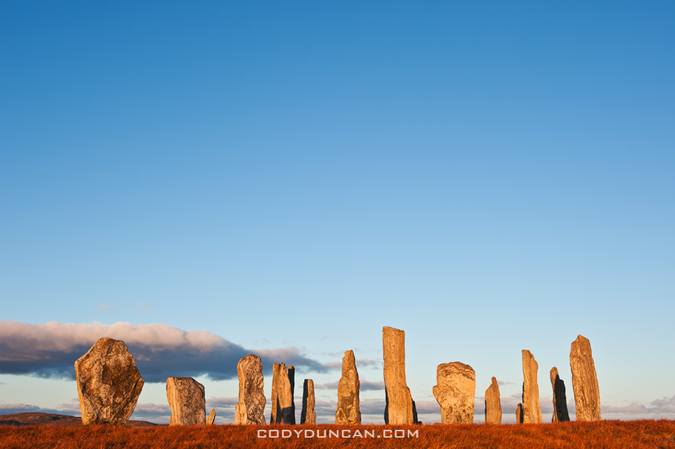
Callanish standing stones, Isle of Lewis, Outer Hebrides, Scotland

Evening sky over Callanish standing stones, Isle of Lewis, Outer Hebrides, Scotland

Callanish standing stones

Silhouette of Callanish standing stones, Isle of Lewis, Outer Hebrides, Scotland

Western Isles

callanish stones, isle of lewis, scotland

Photo: Autumn moonrise, Callanish standing stones, Isle of Lewis, Scotland

I’ve just returned from a week out on the islands of the Outer Hebrides off the west coast of Scotland.  I took the ferry from Uig on the Isle of Skye out to Tarbert on the Isle of Harris.  Then I traveled north to the Isle of Lewis, which is still part of the same island as Harris, for a couple nights.  After that I took the ferry down to Berneray and traveled the islands of North and South Uist and Benebecula.  Unfortunately, the first two days where the only ones of good weather, the rest of the trip consisted of heavy rain and strong winds. Still managed a few photos here and there…

My last visit to the islands was in 2003, and then I was only on Lewis and without a car, so most of the trip was new territory for me.  As a whole the islands are amazingly scenic, with everything from vast empty white sand beaches to rugged mountains and the worst bog that I’ve ever seen in my life.  I look forward to returning again in the not too distant future.

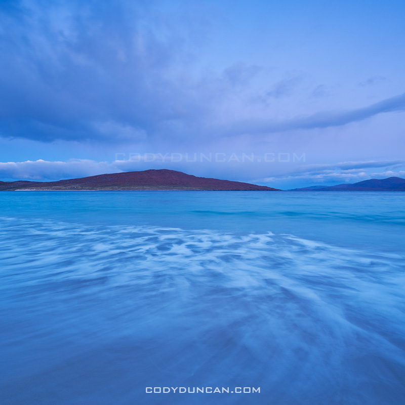
Traigh Rosamol Beach, Isle of Harris, Scotland

Photo: Dawn light on Traigh Rosamol Beach, Isle of Harris, Scotland

Harris and Lewis

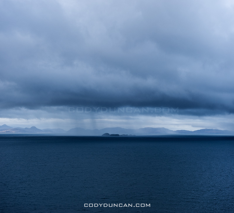
Photo: Mountains of Isle of Harris rise across the little Minch as seen from Isle of Skye, Scotland

I’m making the 11 hour drive up to Uig, Isle of Skye today, and then catching the ferry out to the Isles of Harris and Lewis.  While I’ve been to Skye numerous times in the past years, my last visit to the Outer Hebrides was in October 2003.  I had intended to go last year at this time, but I ended up elsewhere.  I only have a week, but I’m sure I’ll get my fill of stormy windswept beaches to last me for the next few months.  Hopefully it doesn’t rain the whole time, as it very well could, but it’s a risk worth taking.

Buachaille Etive Mor

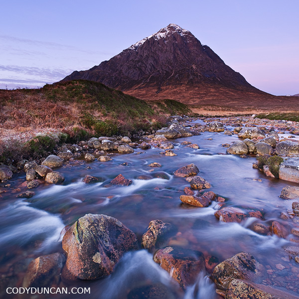
Buachaille Etive Mor, Scotland

Buachaille Etive Mor.

Probably one of the most iconic, and therefore, most photographed scenes from the Scottish Highlands.  A cold December morning last year.

Loch Brittle – Isle of Skye

Loch Brittle, Glenbrittle, Isle of Skye, Scotland

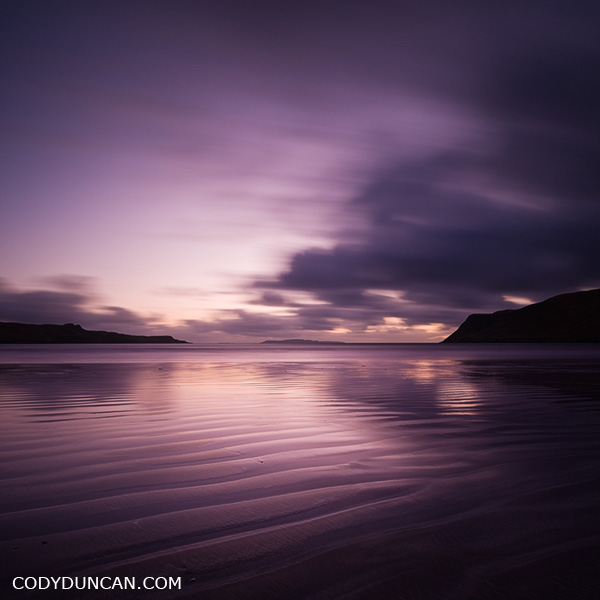
Last light and low tide at Loch Brittle, Glenbrittle, Isle of Skye, Scotland.

Another photo from Glenbrittle, this time down on the beach.  Though opening of the Loch faces southwest, the low setting November sun actually makes it quite a good location for sunsets, while in Summer, the sun sets too far to the north for any direct light.

Glenbrittle and Black Cuillins

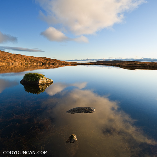
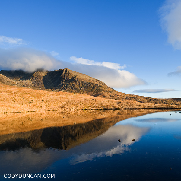
Reflection in lochan, Black Cuillin hills, Glenbrittle, Isle of Skye, Scotland

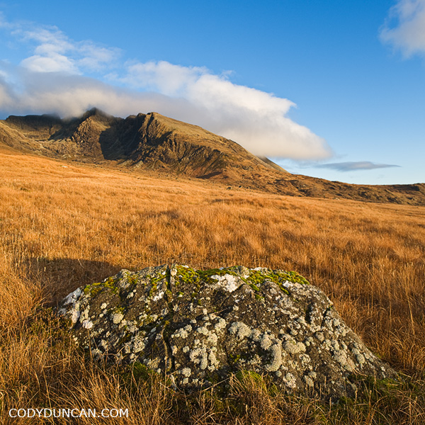
Pleasant autumn afternoon wandering around down in Glenbrittle, Isle of Skye, Scotland.  Glenbrittle is probably one of my favorite places on the island, both the the view and access to the Black Cuillins as well as the coastal hiking.  This was generally my go to spot whenever I thought the sun would shine for more than a few hours – which isn’t all that often in November.

Black Cuillin hills as seen from Glenbrittle, Isle of Skye, Scotland

Reflection in lochan, Black Cuillin hills, Glenbrittle, Isle of Skye, Scotland

Kirk

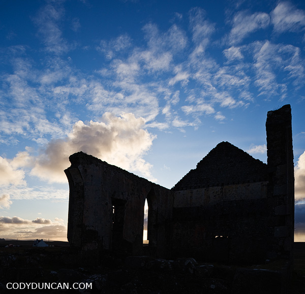
Church ruin, Kilmuir, Isle of Skye, Scotland

Church ruin, Kilmuir, Isle of Skye, Scotland.

I’ve no idea of the history of this ruin.  Though by the looks and condition of it, I wouldn’t imagine it to be more than 200 or so years old, which is relatively new by Skye standards. It’s a big structure, offset from the ‘highway’ by about a half mile or so.  Perhaps it simply fell out of use with time and population decline.  Now only sheep and cows walk among the walls, and American photographers.

Neist Point Lighthouse – Isle of Skye

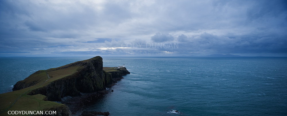
Neist Point Lighthouse panoramic landscape photo, Isle of Skye, Scotland

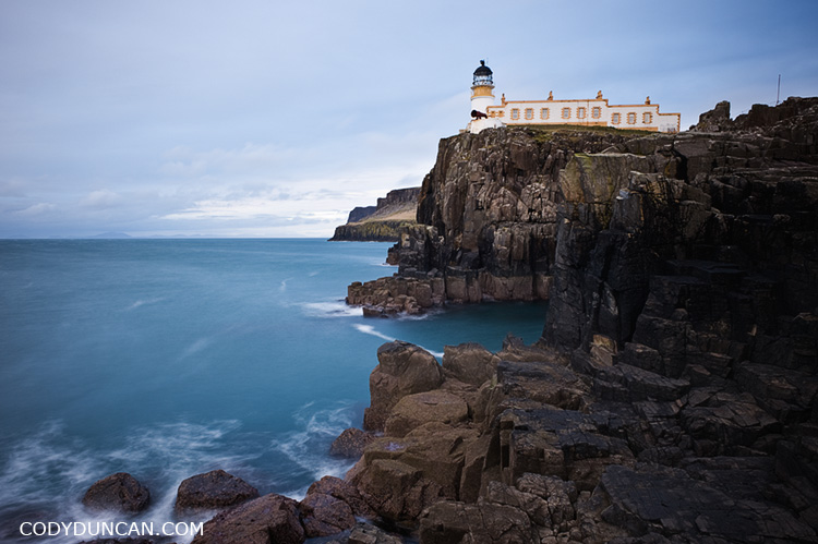
Neist Point Lighthouse, Isle of Skye, Scotland.

What can’t be seen in these photos is the 60-70 mph winds that were screaming over the the island.  Near where I was standing for the first photo was a small waterfall, flowing completely in reverse.  No water was making it down the cliff, it was all being blown backwards towards were it came, and soaking me as I had to pass by.

If there was bus service to Neist Point, it would probably be the most popular tourist location on Skye, but since it is a fairly long drive from Portree, it’s only the 2nd most popular location.  On a nice sunny (and calm) day it is a pleasant place to hike around and enjoy the scenery – some of the most dramatic cliffs on Skye are here. There is a paved walkway most of the way to the lighthouse, but if it has been raining a lot, bring waterproof boots if you want to go further as there is some fairly evil bog that needs to be crossed.  The mountains of South Uist are visible in the distance.

Neist point lighthose and sea, Isle of Skye, Scotland

Stenness Stones – Orkney

Stenness standing stones, Orkney landscape photography

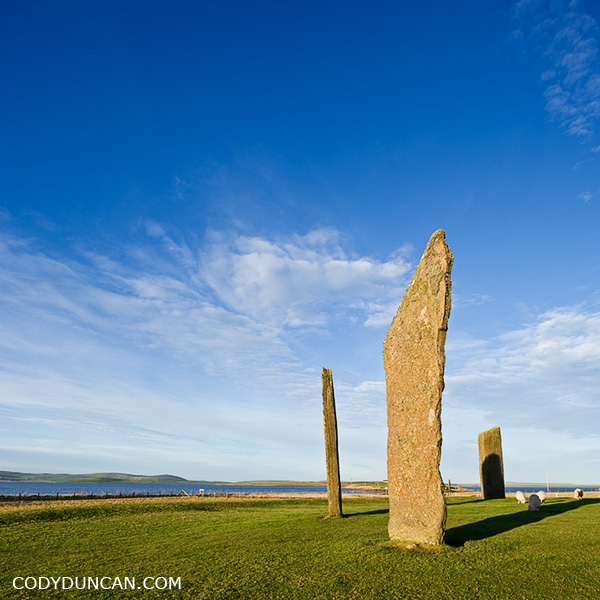
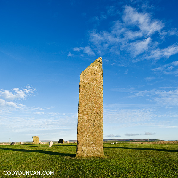
Standing Stones of Stenness, Orkney.

The Stenness stones, along with the Ring of Brodgar form part of the UNESCO world heritage site known as ‘the Heart of Neolithic Orkney.’  From Stenness, Brodgar is within eyesight and about a 5 minute walk to the north.  The Neolithic chambered cairn, Maeshowe, is also within visible and also a short walk away.

Even though the stones are man made, their age makes the appear as just another element of the Orkadian landscape.  Something that is just ‘there’ as you drive by in a car or are looking out the window of a bus.  Covered in moss, struck by lightning, and standing among grazing sheep,  simply ‘there;’ part of a living land.

Stenness standing stones, Orkney Neolithic site photo

Loch Ba – Rannoch Moor

Scottish landscape photography - Loch Ba, Rannoch Moor

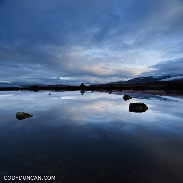
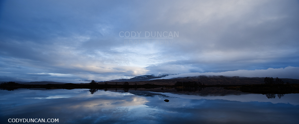
Loch Ba and Rannoch Moor on a cold December afternoon.  I was given a few moments to photograph the still water, then drop, drop, drop and the return of the rain.

Panoramic scottish landscape image - Loch Ba, Rannoch Moor