Ghost – Panoramic
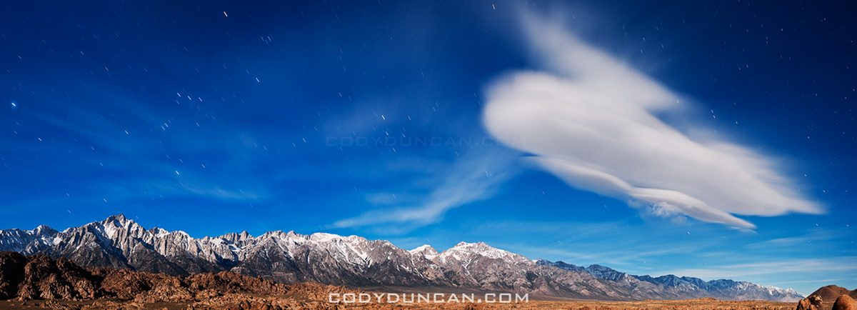
/0 Comments/in California, Landscape, Mostly Photos, Mountains, Night, Panoramics/by CodyPhoto: Lenticular cloud illuminated by full moon over Sierra Nevada mountains, Alabama Hills, California
A 4 image panoramic of the same scene I posted a couple weeks back. Lone Pine peak is the high mountain on the left of the photo, Mount Whitney is about 1/3 from the left, while Mount Williamson is slightly right of center. For a sense of scale, from my position to the summit of Whitney is slightly less than 10,000 ft of elevation gain.
Ghost
/0 Comments/in California, Landscape, Mostly Photos, Mountains/by Cody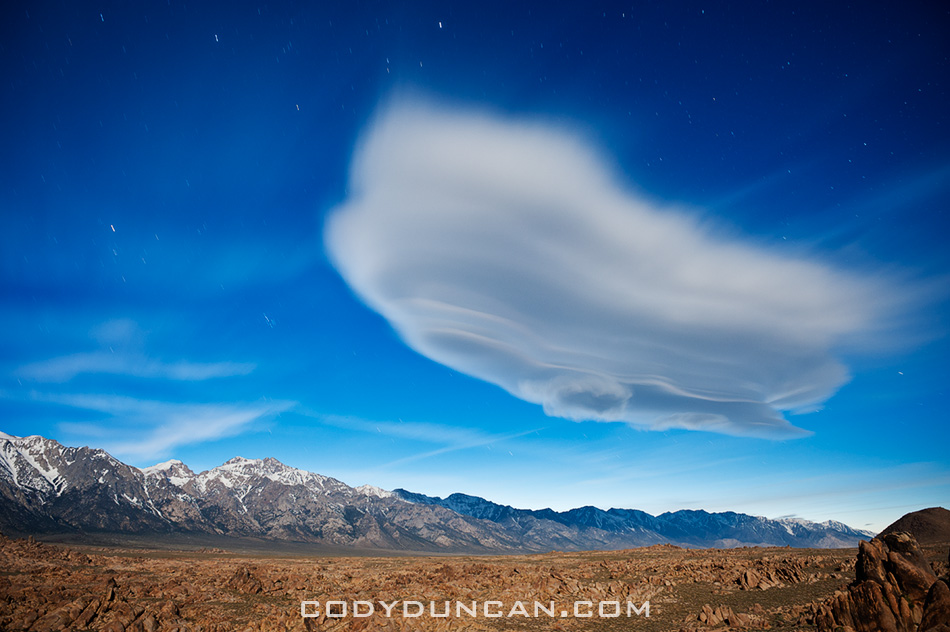
Photo: Full moon illuminates lenticular cloud over Sierra Nevada Mountains and Alabama hills, California
I didn’t quite realize it’s been a month since my last post. But truthfully, I haven’t produced much lately that’s very interesting. And it seems every time I sit down to try and write something, it just ends up as some boring nothingness…
Death Valley
/0 Comments/in California, Landscape, Mostly Photos, Panoramics/by CodyPhoto: Winter rain falls over Badwater, Death Valley national park, California
The full moon and forecast of rain saw me heading out of town for the deserts of Death Valley national park. I figured it would also be a good place to contemplate turning 30. Though the weather didn’t work out quite as planned. Wind gust to 50-60 mph and Sahara like dust storms – basically dust just everywhere. Have I mentioned I hate dust! – meant it wasn’t the most productive trip.
Most the time was spent sitting in the back of my truck. I tried to be somewhat productive and start the writing on a project I’ve been working procrastinating on. Didn’t go so well, just basically stared at a mostly blank page until my laptop battery finally died. Saved! I’m glad I never took it upon myself to be a writer of any sort, would’ve been an even more unsuccessful pursuit than photography.
Cooked dinner inside my camper shell as the light faded, reading the instructions on my stove specifically saying not to cook inside. Are my windows open enough? What are the symptoms of carbon monoxide poisoning? Ack, my instant noodle soup’s boiling over onto my bed! At least I managed to go the whole week without spilling the melt water of my cooler all over my bed, usually a common occurrence. Luck was definitely on my side this time!
This was only my second time to visit the Eureka dunes, located in the isolated northern park of national park and only reached by dirt road. On my first visit the weather was bad so I didn’t take any photos. Had slightly better conditions this time, but still not ideal. The dunes are best photographed at sunset, but by late afternoon clouds would fill the sky before the sun was low enough to the horizon. At sunrise, mountains to the east block the sun for the first hour after sunrise, so by the time the dunes are lit, the sun is already fairly high in the sky. Hopefully I’ll make another visit next month.
The blog will still be a bit slow for the next month. Still trying to catch up on things and get organized with other projects. I’m going to start posting some sort of ‘series’ of content so that I can try and keep things a bit more regular. Will probably be something related to the Lofoten Islands, maybe just a single photo some behind the scenes info or whatnot. I’ll see…
Photo: Eureka dunes rise into the desert sky, Death Valley national park, California
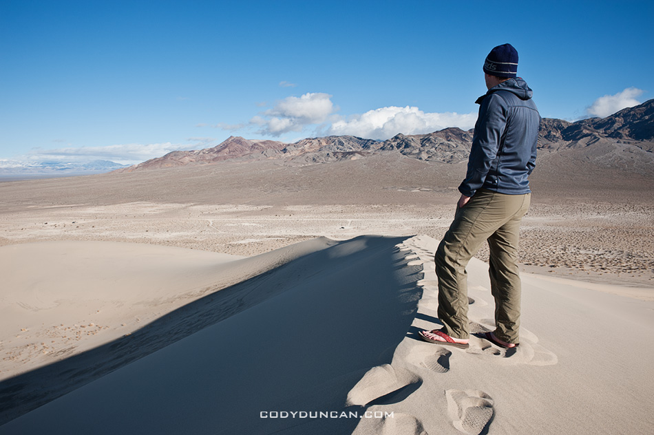
Photo: Self portrait of view from Eureka dunes, Death Valley national park, California
California
/0 Comments/in California, Updates/by Cody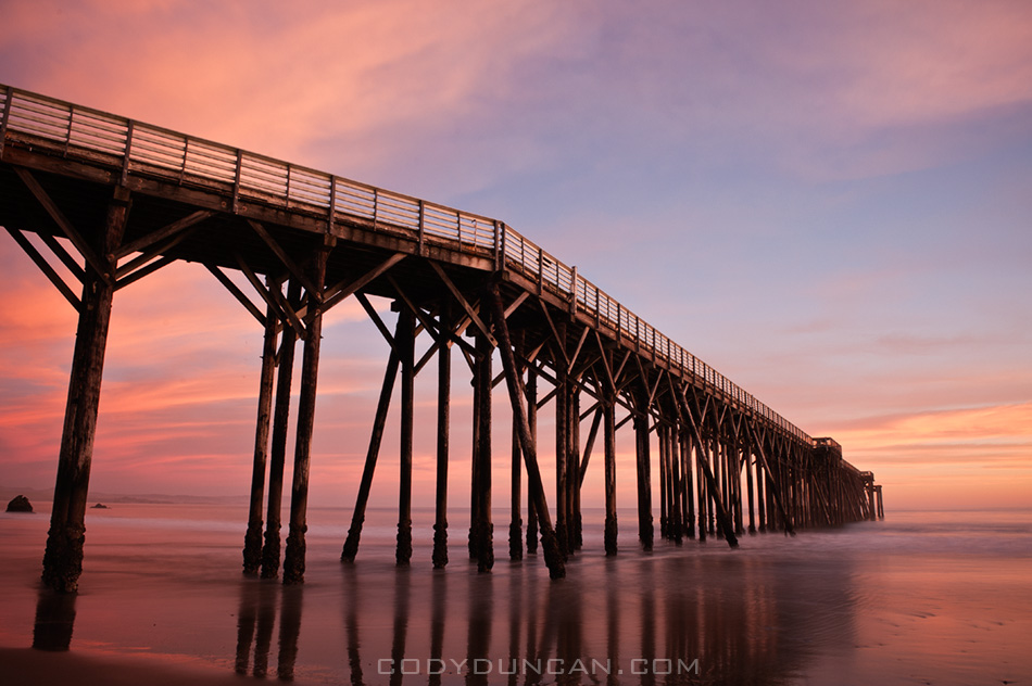
Photo: Sunset over San Simeon Pier, California. February 5, 2011
I’ve been back in California for two weeks now, trying to get adjusted to life back over here. I’ve been pretty busy with several photo shoot in the last week, but they are for other things not related to travel or landscape photography, that’s why it will be a bit quite here for a little bit more.
The weather here in Santa Barbara has been amazing. After so many months in the UK, I had almost forgotten what a nice sunny day was. And to be able to go outside in a t-shirt, I don’t think I’d done that since last August! I’ve always said that the winters in California are often better than the summers. Or to put it more specifically, there’s no fog in winter, so the average day is often better. Now I just have to avoid getting too sunburt.
Over the past weekend, I did take one short trip up to San Simeon to photograph the northern elephant seals on the beach up there. Got some pretty good photos which I’ll post sometime soon.
Trying to put together a more regular travel schedule for the next few months, with the hopes of spending at least 1 week per month out shooting. Next week I’m off to Death Valley. March will find me down in San Felipe, Mexico for the Baja 250, then again out in Death Valley and perhaps Mojave national preserve as I really like the Kelso dunes and I need to explore that area a bit more. I’m also trying to put a trip together to go out the the Channel Islands off the coast here. I’ve looked at them across the sea most of my life, yet have never been there. A bit pathetic I think!
Best Photos of 2010 Part I
/0 Comments/in California, Landscape, Lofoten Islands, Mostly Photos, Mountains, Night, Norway, Panoramics, Travel, Wales/by CodyI’ve put together a list of what I think are my best image from each month of 2010. That’s not to say these are all my best images of the year, as nearly all of them would have been from the Lofoten islands in January. It’s been a good look at my consistency throughout the year. There are definitely a few filler images from months where I wasn’t able to shoot much for whatever reason. I’d say, April, June, and September are the weaker images of the year, Jan and July my favorites.
As a whole, it was an okay year photographically. I think I’ve captured some of my best images ever and had a couple productive trips. But I’ve also felt a fair amount of frustration in being unable to realize a fair amount of my vision. I guess I could say it better as: more often than not, I’ve failed to return with the images I wanted. This is quite normal for landscape photography, but part of the problem is that I don’t want to be shooting landscape photography, I want to be shooting adventures and journeys surrounded by those landscapes. Hopefully I’m able to find my vision better in 2011 and take my images to the level at which I want them to be…
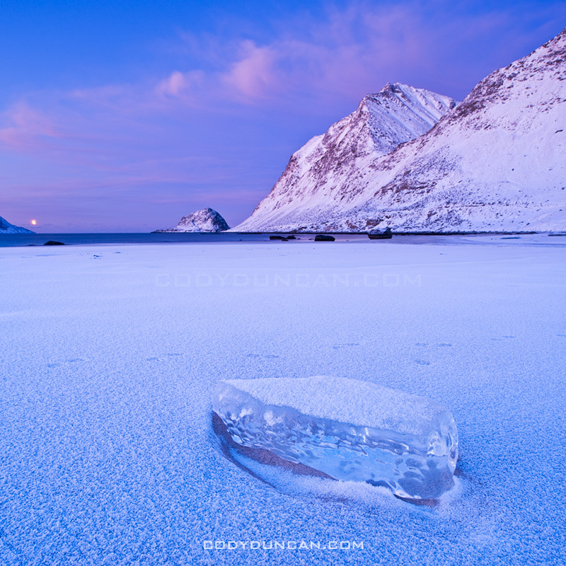
January: Arctic twilight on Haukland beach, Lofoten islands, Norway
This was a difficult month to pick only a single image from. The 6 days I spent on the Lofoten islands at the beginning of the month were some of the most inspiring days I’ve ever had. Jan 6th in particular, my first full day on the islands, was especially memorable and the light was simply amazing. I was completely frozen after a chilly night sleeping in a wind rocked car. When dawn arrived in mid morning, all was perfectly calm with a brilliant pink glow. It was one of those days that I wished I could have been in 100 places at once; there were so many photos to be made, yet only a painfully few 4 hours of light of the arctic winter day.
This image is from Haukland beach and the first place I stopped in the morning. It was nearly perfectly still, only the gentle waves that seemed more like a lake than ocean disturbed the silence. While several images from this location could easily be my favourite images, I think this is the best. For me the single piece of ice helps show the isolation of the frozen beach and lets the cold reach out to the viewer. I only stopped shooting at this location when I wasn’t able to feel my feet for some 30 and decided I should try and warm up a bit. My only critique is the otter tracks that pass through the image.
Lofoten islands winter: Click here to view gallery
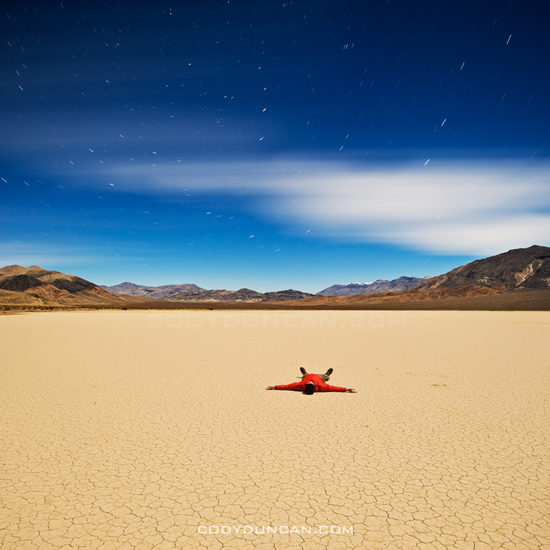
February: Night on the Devil’s Racetrack, Death Valley national park, California
Another difficult month to choose from, mostly due to a fairly productive trip to Death Valley towards the end of the month. After having spent the autumn and early winter in Scandinavia and the UK, I was in need for a bit of a change in scenery. So I headed out to explore some parts of Death Valley national park that I’ve never been to before.
This image is from the Devil’s Racetrack, more commonly know as the location with the moving rocks. Unfortunately, the above average winter rains had flooded the southern part of the lake where the rocks are, leaving it impassible due to the danger of leaving permanent damage to the fragile area. Fortunately the northern half of the playa was dry and walkable. A bit bored, with my planned shooting location off limits, I thought I’d just go lay down in the middle of the lake. It was quite amazing really, all alone in the middle of nowhere, full moon overhead, cold night temperatures of winter desert, some AM talk station coming out of the radio. I stayed out there shooting late into the night.
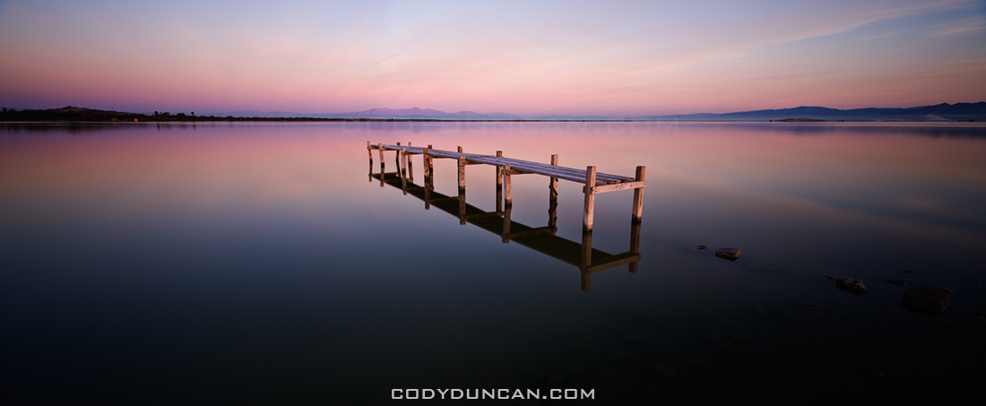
March: Abandoned dock, Salton Sea, California
My last journey to the Salton Sea was in 2005, or was it 2004? Can’t remember at the moment. Anyhow, in March, before temperatures became unbearably hot for me, I headed down. I had been to this location on my last trip, so as I arrived in the dark of early morning I thought I knew where I would be. How I was wrong. The sea level was now far lower and the shore nowhere near as I remembered. Anyhow, as I explored a bit, I found this cool old dock just as the first light of the sun was arriving.
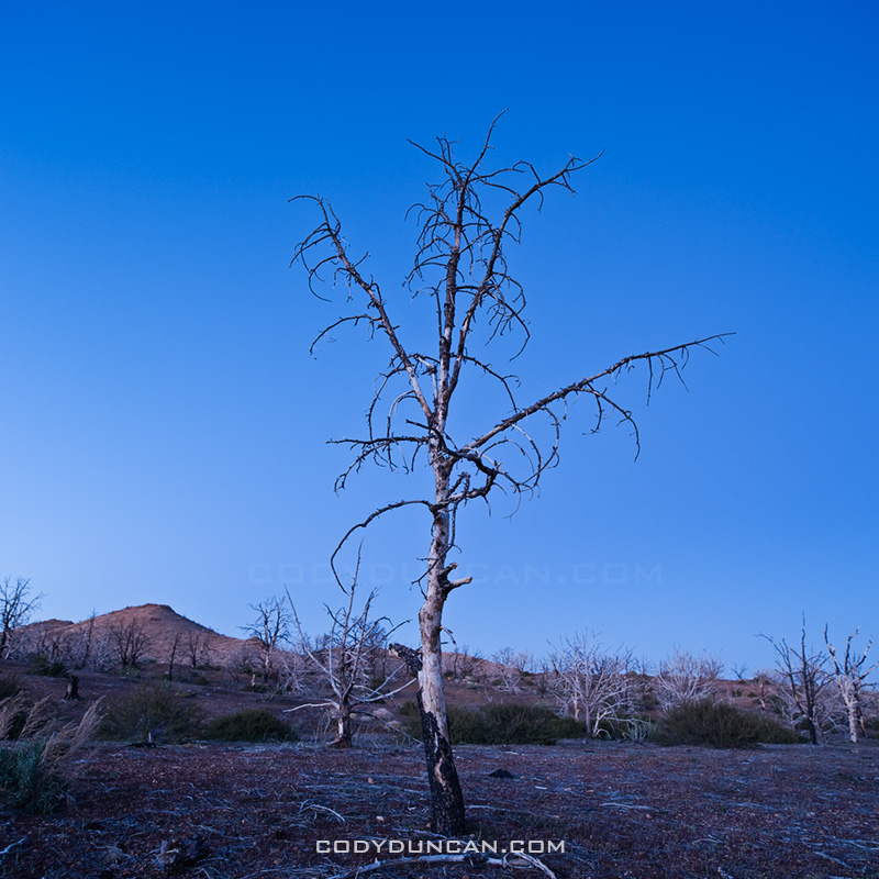
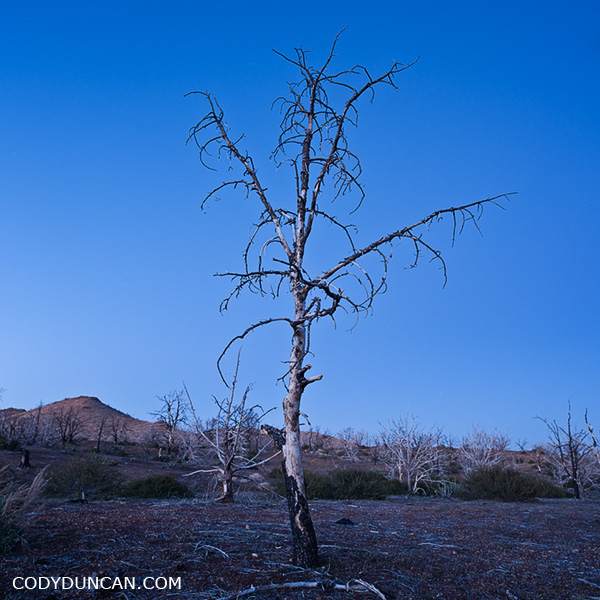
April: Charred tree, Mid Hills Campground, Mojave national preserve, California
In 2005, lightning strikes started the Hackberry fire which swept thought the high desert area of the Mojave national preserve. On the first night of a 4WD trip of the Old Mojave Road, we camped at the Mid Hills campground which was partially burned. I’d never been to this area, nor heard about the fire, so It was quite interesting to see a charred desert landscape.
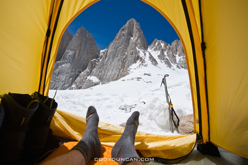
May: View from tent towards east face of Mt. Whitney, Sierra Nevada Mountains, California
Nearly five years to the day of my last trip up Mt. Whitney, I found myself looking at the mountain again. It was sort of a last minute trip, but everything worked out and I made a successful climb of the mountain. This is the view from my camp at Iceberg lake towards the east face and Mountaineers route of Mt. Whitney.
![]()
June: Stormy weather over Black Mountain, Brecon Beacons national park, Wales
Black Mountain is the westernmost range of Brecon Beacons national park. Just an image from a less-than-sunny day wandering among the mountains.
Tuolumne Summer Mosquitos
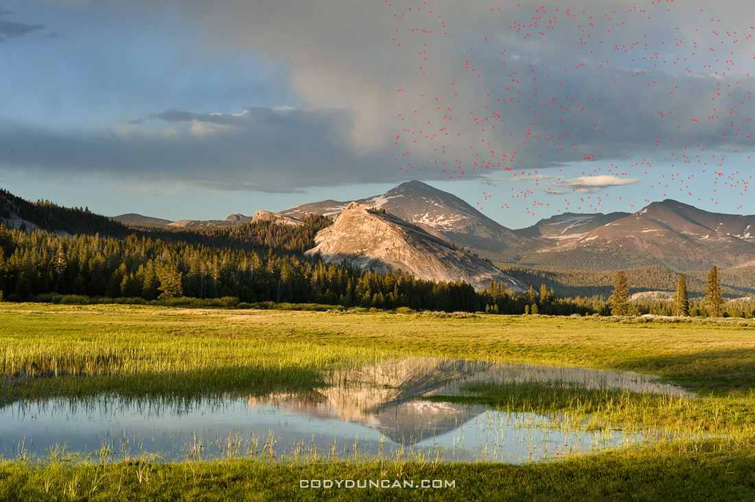
/0 Comments/in California, Landscape, Mountains, Travel/by CodyWith snow once again falling here in Wales today, I thought I’d post a slightly sunnier picture to change things up a bit. Though this picture actually helps illustrate one of the benefits of winter, no bugs.
This is from summer in Yosemite’s Tuolumne meadows. As scenic at the Sierra are in mid summer, I usually stay away until a bit later in the year. This photo is a perfect illustration of why. Mosquitos. It took me a minute to figure it out at first. I was wondering why my camera sensor was so dirty looking as I was cleaning up the photos from this part of the trip, but it wasn’t a dirty camera/lens. I’ve gone ahead and put a mark where there was a mosquito somewhere in the photo. I’ve only done about 1/3 of the image, as it was taking a while, but I think the point is made. click image to view larger.
Mount Whitney Mountaineers Route
/0 Comments/in California, hiking, Landscape, Mostly Photos, Mountains, Travel/by Cody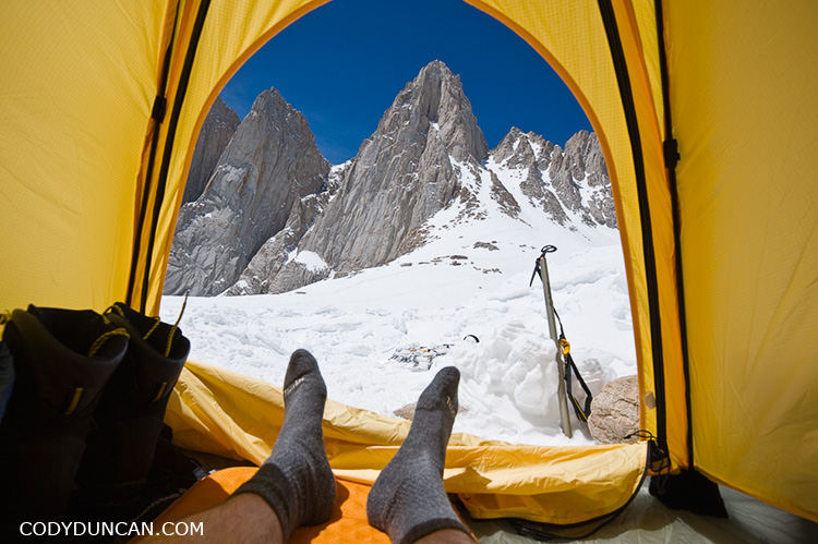
View from my tent at Iceberg Lake, about 12,600 feet, towards the east face of Mount Whitney (and my smelly socks).
Sort of at the last minute I decided to make a quick trip up Whitney this past weekend before all the snow melted and before I leave California again (somewhat soon). Weather was sunny the whole time but the winds were quite strong. I’d estimate it reached 60+ mph on Sunday when I was on the summit. I didn’t even bother bringing the camera out as there was so much snow flying around. On the way up, whenever a big gust would come up, I would just have to lean into the mountain as I received a battery of snow and ice and rock for a minute or two, then climb on again. Good fun.
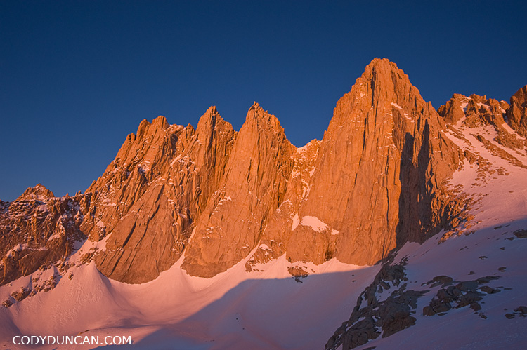
Mount Whitney Mountaineers Route – Images by Cody Duncan
Mojave Road 4WD trail
/0 Comments/in California, Mostly Photos, Travel/by Cody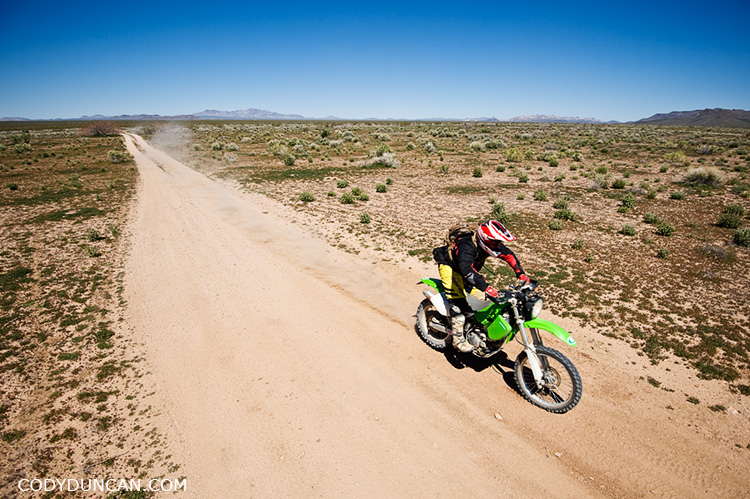
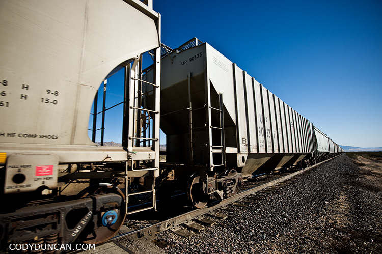
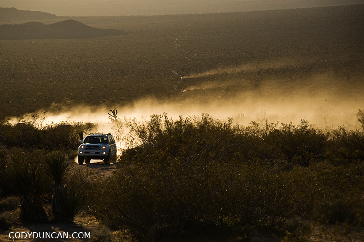
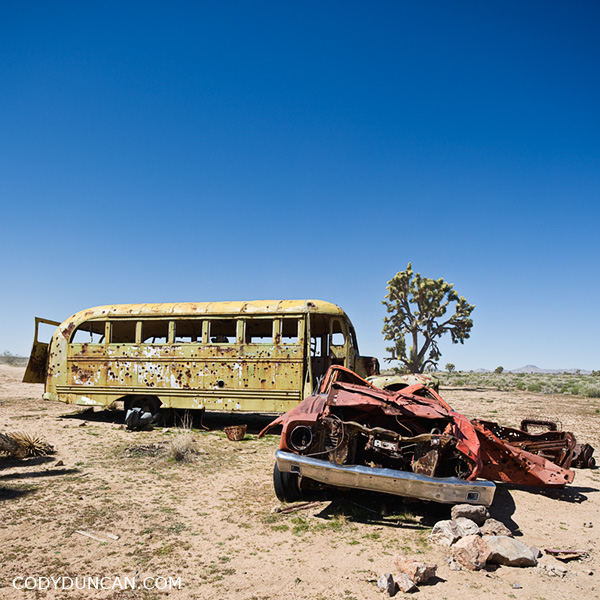
Last week my brother talked me into heading back out into the desert to join a group of people driving the old Mojave road. The road is a 130 mile 4wd dirt road with follows an old Native American trading route and later route of Spanish missionaries through California’s Mojave desert to the shores of the Colorado river on the California – Nevada border.
Salton Sea
/0 Comments/in California, Landscape, Mostly Photos, Travel/by Cody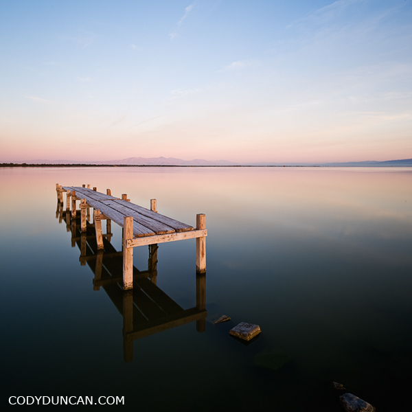
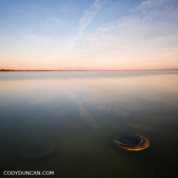
I was amazed out how far the water has dropped in the 5 years since I was last at the Salton Sea. I drove to this location in the darkness of morning, remembering it to be a cool place that I last visited when I was shooting B&W film on a Hasselblad and spending hours and hour in a darkroom instead of hours and hours on a computer as I do now. How things have changed. There used to be cool set of the old docks that were on the edge of the water. Now they are landlocked hundreds of feet from the current shore of the sea. I also remember this little dock in the picture above could only be accessed by wading through knee deep water. Now one can drive to only a few feet away. Change is constant.
New on the Blog
- New eBook | Lofoten Islands – Northern Light December 8, 2022
- Padjelantaleden eBook update December 5, 2022
- Ebook update – West Lofoten Hikes 4th Edition May 21, 2022


