Channel Islands Sailing – Santa Cruz Painted Cave

Channel Islands national park sailing

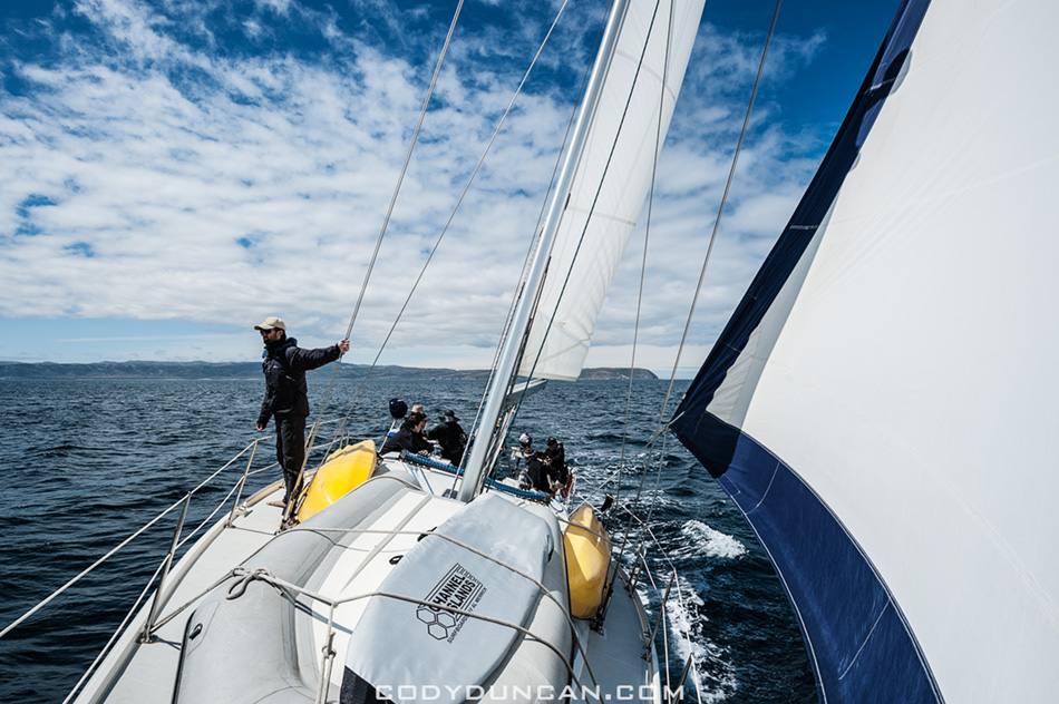
Photo: Sailing towards Santa Cruz Island, Channel Islands national park, California.  April 2012

…Continuing from my last post –click here–

After leaving San Miguel Island we arrived at our first nights anchorage on the islands at Becher’s Bay on Santa Rosa Island.  The next day we departed in mid morning and sailed towards Santa Cruz Island.

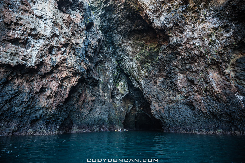
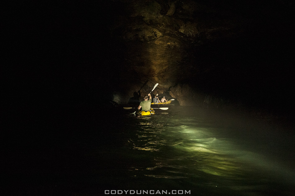
We made a brief stop for some exploration of Painted cave, the worlds largest sea cave.  It’s quite eerie once inside and completely dark.  I had a large spotlight we me on the dinghy, but in the heavy, misty air inside the cave, it hardly did anything.

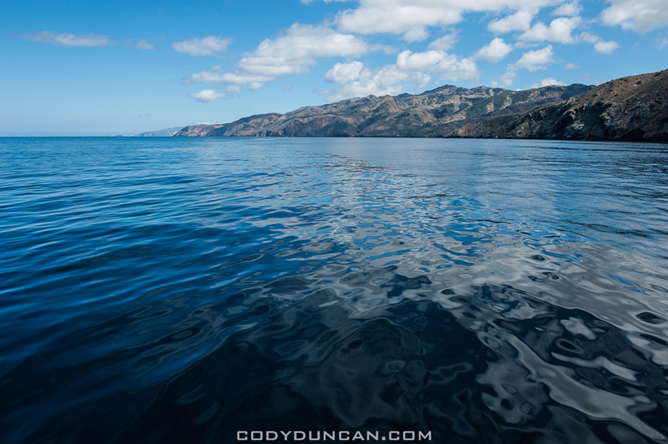
The wind had pretty much died here on the north side of the island so we motored our way to the anchorage at Pelican Bay.  Here the skies got dark and we were in for a raining night on the boat.

To be continued…


Channel Islands national park sailing

Photo: Leaving Bechers Bay at Santa Rosa Island, Channel Islands national park, California.  April 2012


Channel Islands national park sailing

Photo: Sailing between the islands, Channel Islands national park, California.  April 2012


Painted cave santa cruz island

Photo: Kayaks at entrance of Painted Cave, the worlds largest sea cave, Santa Cruz Island, Channel Islands national park, California.  April 2012


Painted cave santa cruz island

Photo: Darkness inside Painted Cave, Santa Cruz Island, Channel Islands national park, California.  April 2012


Painted cave santa cruz island

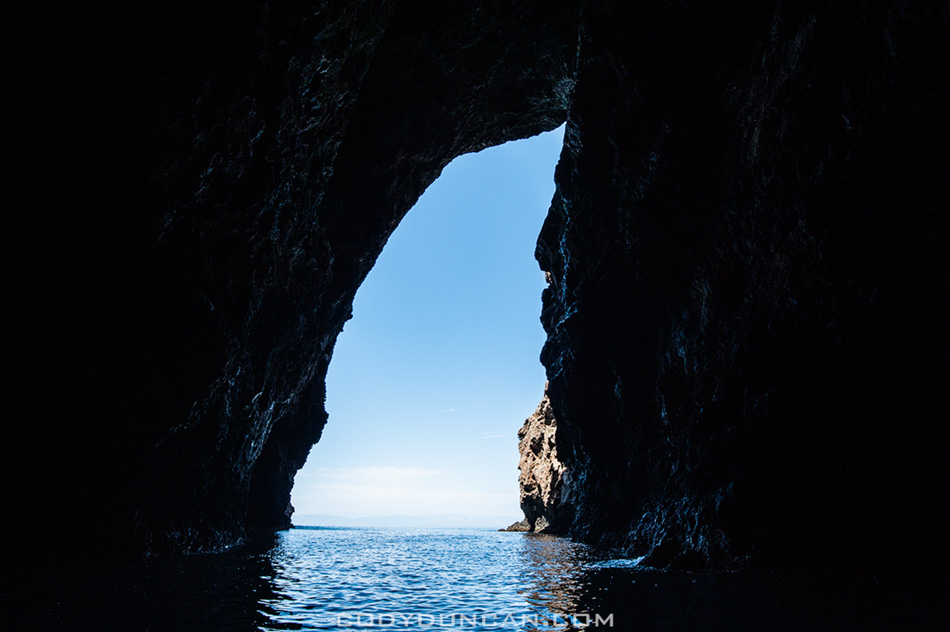
Photo: Looking out of Painted Cave, Santa Cruz Island, Channel Islands national park, California.  April 2012


Santa Cruz Island channel islands national park

Photo: Calm waters on north side of Santa Cruz Island, Channel Islands national park, California.  April 2012

San Miguel Island – Channel Islands National Park

Cuyler harbor san miguel islands channel islandsPhoto: Panoramic view of anchorage at Cuyler Harbor, San Miguel Island, Channel Islands National Park, California.  April 2012

Last week was a double first for me: my first time on a sailboat and more importantly, my first time on the Channel Islands.  Despite looking at the islands nearly every days since I was born, it took me 31 years to finally get out there.  They where always some place that I’d wanted to go but plans never really worked out or I’d head up to the mountains instead.  Well now at least I can say I’ve had a ‘proper’ islands trip.

We left the Santa Barbara harbor on a Sunday at midnight with the compass set towards San Miguel Island and motored the 40 nautical miles by stars and moon.  My buddy Tim and I pulled the 4am to 7am shift.  Taking 20 minute turns at the wheel in the damp, cold night air we navigated by stars until Island fog crept in and then we had to use the moon as best we could to keep position.  Just before dawn, after a six and a half hour crossing, we pulled into Cuyler Harbor which would be anchorage for the day.  The fog cleared just enough for a fantastic sunrise over the Santa Barbara Channel and then I headed back below deck for a little bit more shut eye.

In the late morning we launched the dinghy and headed to shore.  We had an appointment to meet the island’s ranger up at the station and then she led our group on a 3 mile hike out to Harris point.  On the way we saw an Island fox hunting and catching something at a pretty close distance, most likely a mouse, which is a pretty rare sight.  On the way back we also came across two juvenile foxes standing right in the middle of the trail.

We were back aboard the boat by around 5pm and then set sail towards Santa Rosa Island and our nights anchorage at Becher Bay.  More on that and the rest of the trip in the next days…

Cuyler harbor dinghy landing

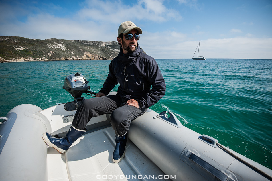
Photo: Heading to shore on the dinghy for a beach landing, Cuyler Harbor, Channel Islands National Park, California.  April 2012


Cuyler harbor beach dinghy landing

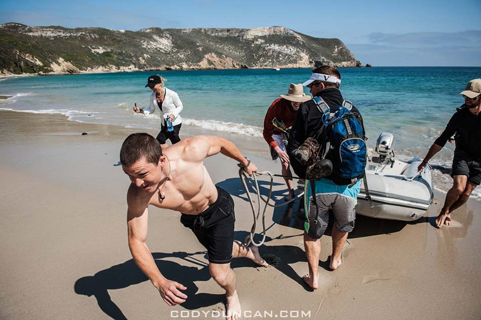
Photo: Landing the dinghy on the beach, Cuyler Harbor, Channel Islands National Park, California.  April 2012


Northern elephant seal san miguel island

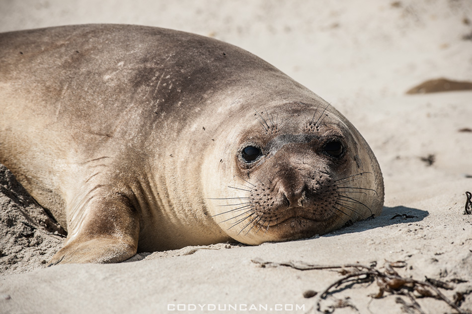
Photo: Northern Elephant Seal pup, Cuyler Harbor, Channel Islands National Park, California.  April 2012


San miguel island cuyler harbor beach

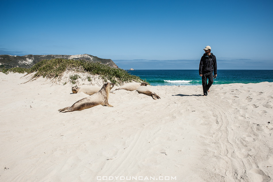
Photo: Passing seals on the beach (they where everywhere!), Cuyler Harbor, Channel Islands National Park, California.  April 2012


San miguel island cuyler harbor beach

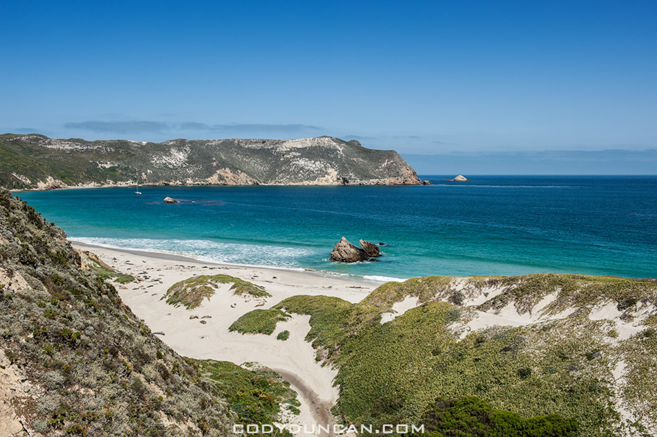
Photo: Looking back towards the beach as the trail begins to climb, Cuyler Harbor, Channel Islands National Park, California.  April 2012


Harris point san miguel island

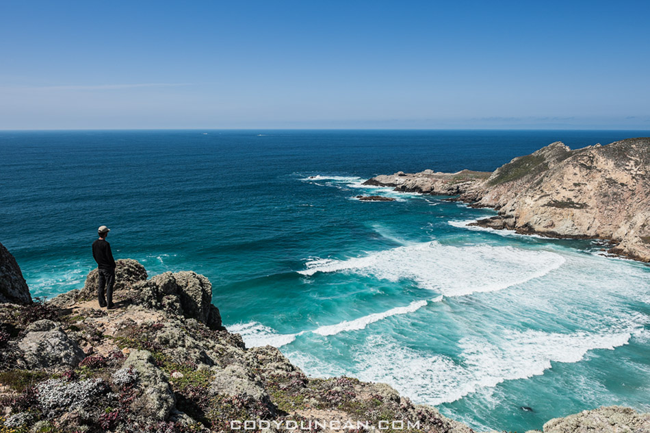
Photo: Scenic view from Harris Point at the end of the hike, Channel Islands National Park, California.  April 2012

Montana De Oro – California

Montana De Oro - California

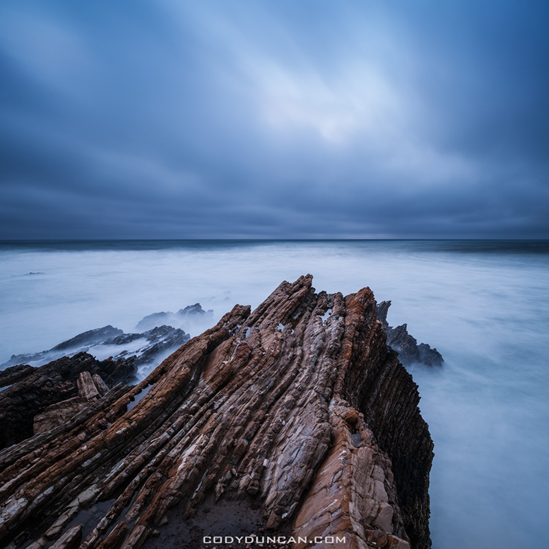
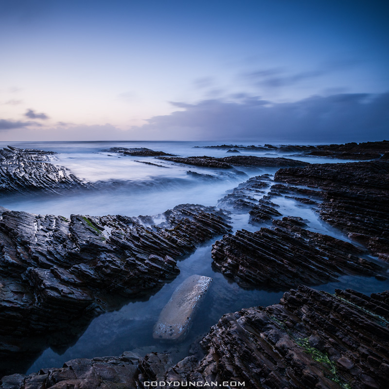
Photo: Rugged coastal landscape of Montana De Oro State Park, California.  March 2012

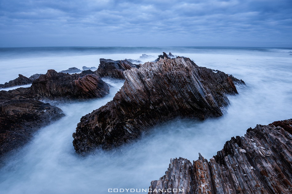
From Thursday to Sunday I was up camping at Montana De Oro State Park.  It’s only 2 hours north from me here in Santa Barbara but this is only the second time I’ve been there; the first being only last year and just for a quick stop on the way to somewhere else.

I struggled with the weather on a few days.  Often it was a near impossible task to keep my lens dry while standing so close to the sea with heavy waves crashing all around me and I had a few wet feet moments where I pushed things a little too far.  By the second evening I almost run out of lens wipes as I hadn’t refreshed my supply yet since getting back from Europe and my February trip to Lofoten had already nearly cleared me out.  When photographing on the edge of the sea (and especially with saltwater) the disposable lens tissues are a much better option than using microfiber lens cloths as they tend to build up too much moisture and contamination from the salt and other crap in the water that they become rather infective after only a short while.  Dry lens tissues in combination with ones pre-moistened with cleaning solution are the best combination I’ve found for working situations with lots of sea spray.

The central California coast is a bit of a black hole for me that I’ve never spent much time exploring, even famous areas like Big Sur I’ve only ever spent a day or two photographing at.  I think it comes from memories as a kid that on the few times we would go up there it seemed like heading to the end of the world.  So for some reason in my mind now it feels like the 6 hour drive to Bishop and the Eastern Sierra, where I never went as a kid and have no recollection of the journey, is quicker than heading 2-3 hours up the coast.  Or maybe I think it’s too close to home and therefore less interesting than if it would be further away.  I don’t know.  But there is some absolutely amazing coastline up there and being so close, I hope to make it back on a more regular basis from now on.

The only negatives I feel about camping on the coast is that California State Parks are a complete and total ripoff at $25 (and up to $35) a night for a primitive camp site without even a shower, whereas on the Eastern Sierra I can largely camp for free.  When traveling alone, as I largely due, that adds up to a hefty bill quite quickly.  It’s actually cheaper to stay in hostels in Europe than to camp in California these days.


Montana De Oro - California

Photo: Coastal landscape of Montana De Oro State Park, California.  March 2012


Montana De Oro - California

Photo: Rugged coastal landscape of Montana De Oro State Park, California.  March 2012


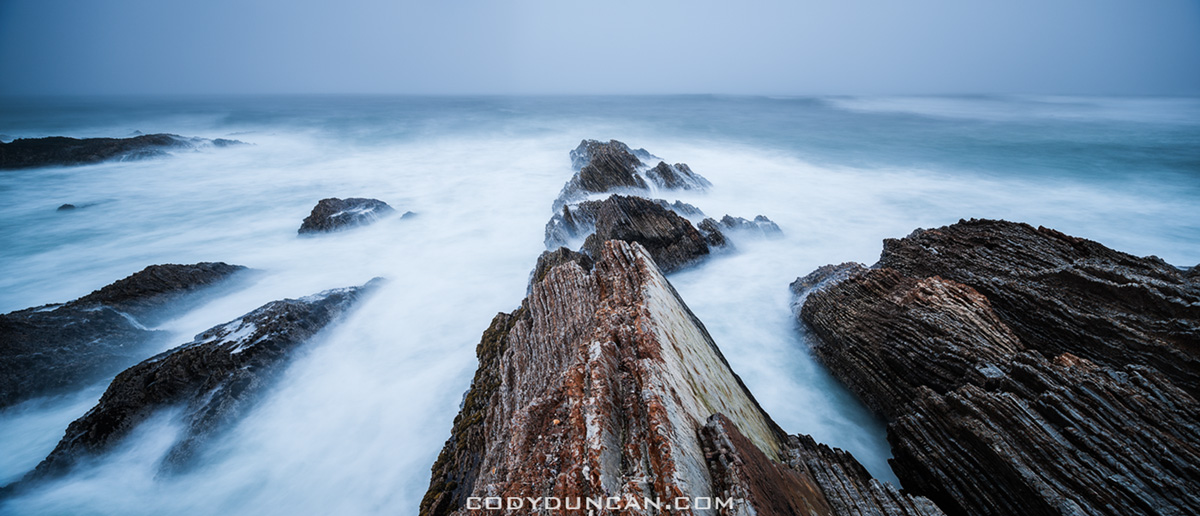
Montana De Oro - CaliforniaPhoto: Panoramic coastal landscape of Montana De Oro State Park, California.  Nikon 24mm tilt/shift lens.  March 2012


Montana De Oro - California

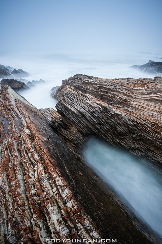
Photo: Rugged coastal landscape of Montana De Oro State Park, California.  March 2012

10 Best Lanscape Photos 2011

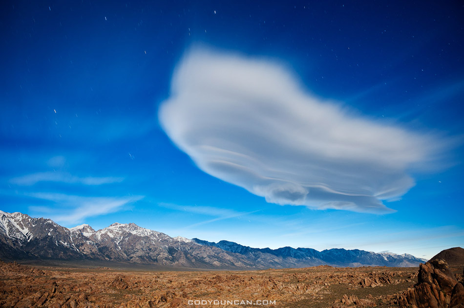
lenticular cloud sierra nevada mountains californiaPhoto: Lenticular cloud over Sierra Nevada Mountains. April 2011

The last night of a 10 day road trip through the southwest and my favourite photo from the whole trip.  A lone lenticular cloud which had provided some decent color at sunset remained in the sky over the Alabama hills and Sierra Nevada mountains.  A near full moon for
illumination of the foreground and a 2 minute exposure gives a ghostly appearance to the cloud.

My 10 best images from 2011.  Well, maybe ‘best’ is not the correct word and ‘favourite’ would be more appropriate.  I thought about repeating last year’s ‘best from each month’ concept, but it wouldn’t have worked very well for this year.  For the most part I was largely directionless for extended periods of time, with the whole of the spring/summer basically a black hole for me photographically.  For the year overall there were some brief moments of productivity, but most of the time I was failing to achieve my goals visually.  I don’t really feel I grew at all photographically or found myself pushing my boundaries visually.  Much of the time I was struggling to even repeat images/ideas that I had made in the past, much less expand my vision and style forwards.  Hopefully 2012 provides more fertile ground as this last year seems mostly a waste to me.  Barely being able to tread water, much less chase my dreams.
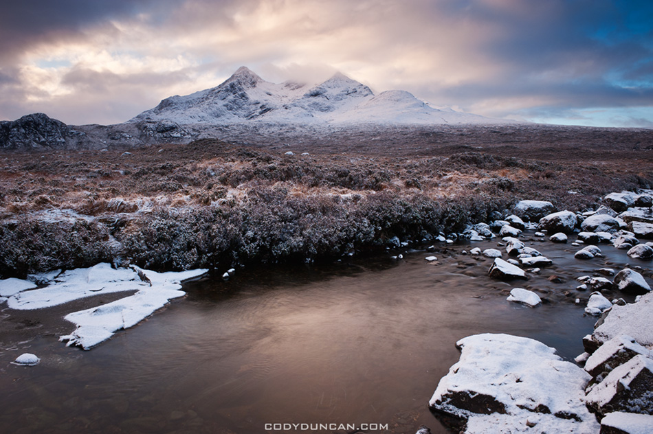
Black Cuillins, Isle of Skye, ScotlandPhoto: Clearing winter storm over Black Cuillins, Isle of Skye, Scotland.  January 2011

Returning from New Year out on Scotland’s Outer Hebrides I decided to stay the night on the Isle of Skye.  As I awoke to heavy clouds and a light falling snow my hopes of sunrise diminished.  Sitting patiently and looking at the clock, I waited an hour to see if conditions would improve before continuing on the long journey south.  Just as I was about to start the car I noticed a bit of contrast in the sky.  I had dreamed of a ‘Skye in snow’ image for years and this was my first chance.  While it can definitely be improved upon, I still am glad for the opportunity.
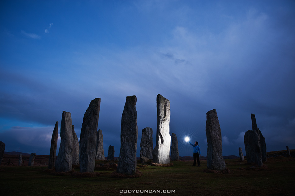
Callanish standing stones, ScotlandPhoto: Callanish standing stones, Isle of Lewis, Scotland.  January 2011

I’m fascinated by standing stones.  This was my second visit to Callanish in as many months.  The rain held off into the night allowing me a bit of time to play around with some lighting of the stones.  I think this image helps show a bit of scale and how large the stones actually are.
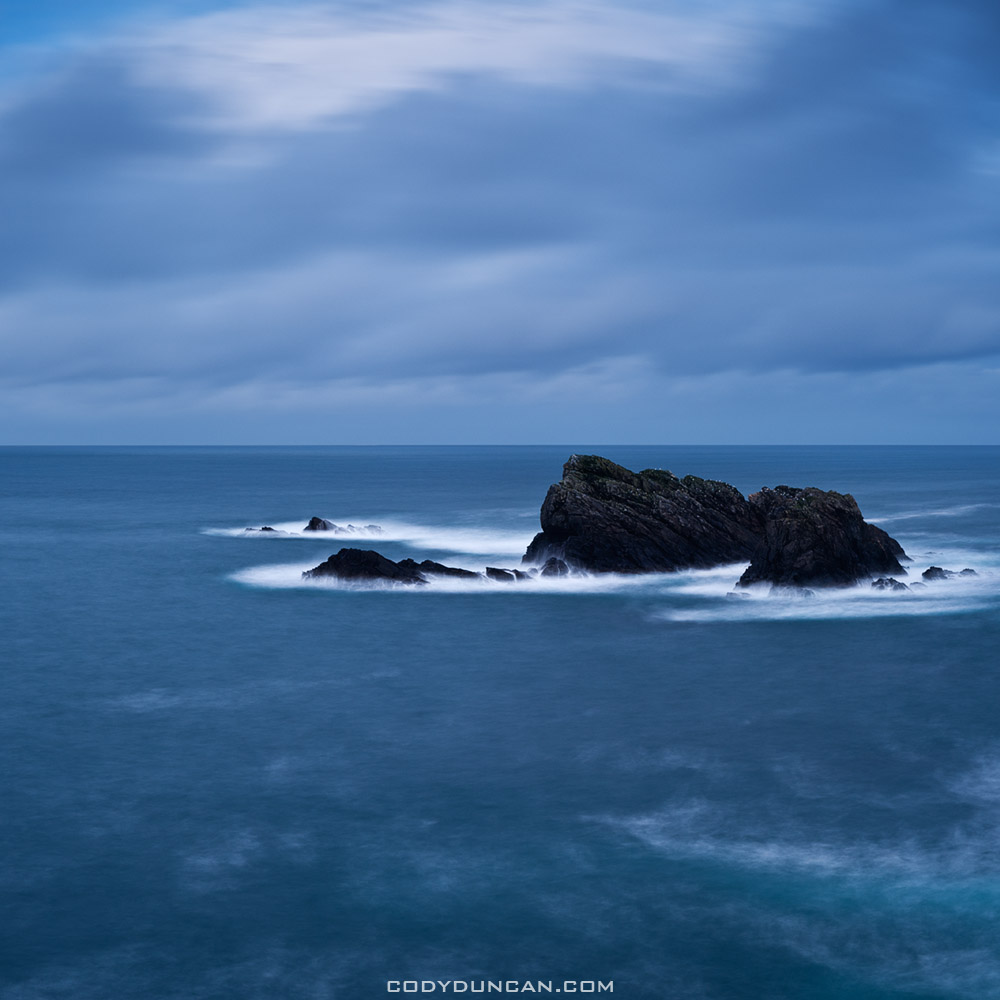
Isle of Lewis, ScotlandPhoto: Coastal rocks, Butt of Lewis, Isle of Lewis, Scotland.  January 2011

Winds and heaves seas battered this most northerly part of the Isle of Lewis.  Rain showers were sweeping across the headlands with only brief interludes as the short winter day transitioned into night.  Beyond these rocks is 500 miles of the cold north Atlantic before one reaches Iceland.  Truly a feeling of being at the end of the world, or perhaps just Scotland.
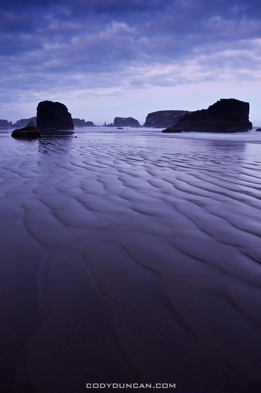
Bandon Beach OregonPhoto: Bandon Beach, Oregon.  August 2011

With a 13 hour drive back home to California I struggled with the decision to get out of bed in the early morning hours or not.  I couldn’t see the sky from my campground, but I went ahead and made the 30 minute drive down the coast to Bandon.  I arrived to the sound the fog horn blasting into the morning darkness and the roaring of waves against the coast.  On the beach conditions were better than I could have expected.  Low tide and a calm wind, perfect for Bandon.  As the morning progressed a bit of color arrived before the dawn.  I was utterly exhausted by the time I got home late that night, but thankful for it.
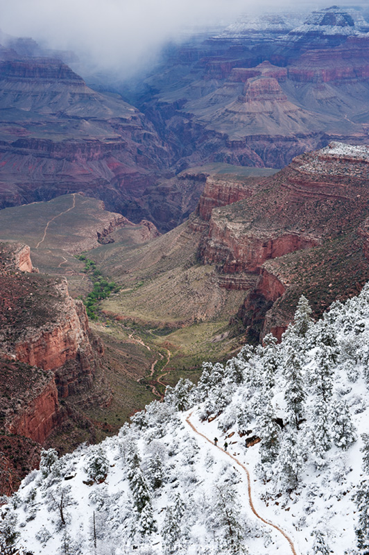
Grand Canyon snowPhoto: Bright Angel trail and snow, Grand Canyon.  April 2011

It had been a last minute decision to head to the Grand Canyon.  Arriving in early evening to a foot of fresh snow on the ground and the possibility of the closure of all national parks due to the failure of the govt. to pass a budget I wasn’t really sure it was worth it.  Awaking the next day to a snow covered campsite and gray skies, I went out exploring a bit.  I hadn’t been to the GC in 10 years and finding my way around snow covered roads took a bit of extra effort.  At some point in the morning the storm began to clear and I found my way to the upper section of the Bright Angel trail.  I like the contrast of snow and desert in this image, a sight I don’t see too often.
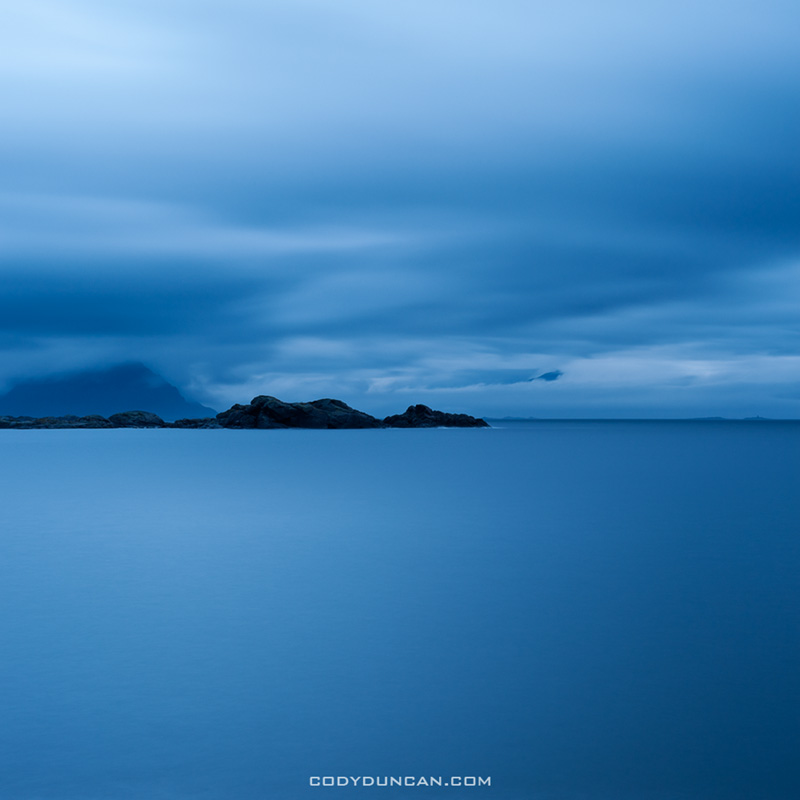
Lofoten islands coast, NorwayPhoto: Dark skies over Vestfjord, Stamsund, Lofoten Islands, Norway.  October 2011

This is one of my favourite view points while staying in Stamsund.  Not because it’s the most spectacular view in the world, but because it’s a place I can return to again and again and always see something new.  I can watch the spring sunrise from here.  I can see the autumn’s first snow or (as in the next photo) the sky filled with the Northern Lights.  The sea can be rough and white capped with mist filling the air or as still as a pond.  This view reflects the moods and temperament of the Islands.
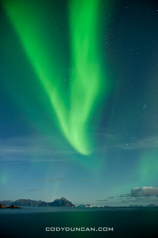
Northern Lights Lofoten Islands NorwayPhoto: Northern Lights over Vestfjord, Stamsund, Lofoten Islands, Norway.  October 2011

The last night (beginning to see a trend here) of two weeks on the Lofoten Islands.  The perfect conspiracy of conditions for the best Northern Lights I’ve ever seen.  I wish I had had a wider lens to show more of the sky, as it was completely filled with light, dancing and swaying from second to second.
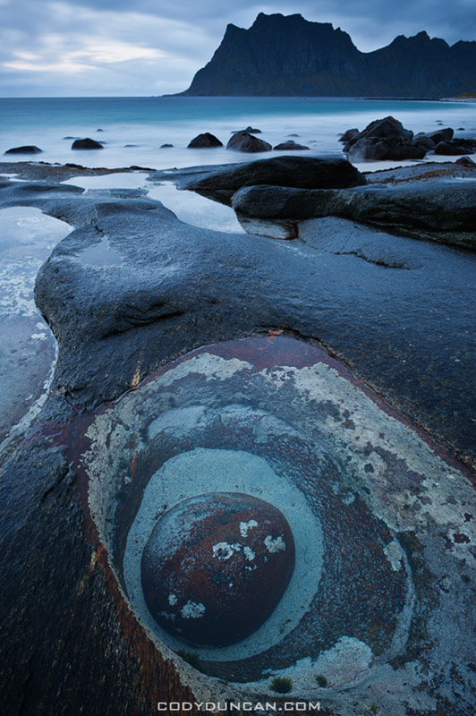
Utakleiv beach, Lofoten islands, NorwayPhoto: Utakleiv, Lofoten Islands, Norway.  October 2011

It was another one of my stormy days at Utakleiv.  The tied seemed particularly low this day and I wandered out on the slippery rocks towards the edge of the sea.  My attention was focused towards my feet as the rain forced me to keep my lens pointing downwards.  I came across this scene of one rock burrowed into another.  The work of a 100 years of waves.
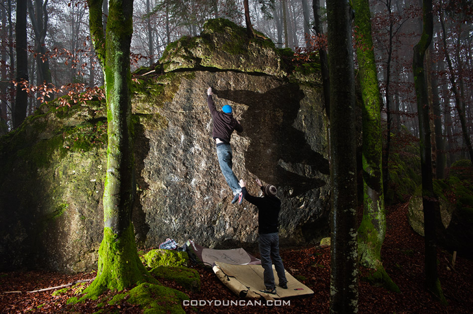
Frankenjura bouldering, GermanyPhoto: Frankenjura bouldering, Germany.  November 2011

Towards the end of November I found myself back among the old familiar rocks of the Frankenjura region.  Dark and misty forests, cold temperatures and short days.  Not the most ideal climbing conditions, but so it goes.  A bit of off-camera flash in the middle of a dyno to the next hold gives a bit of depth to the image.
Fourth

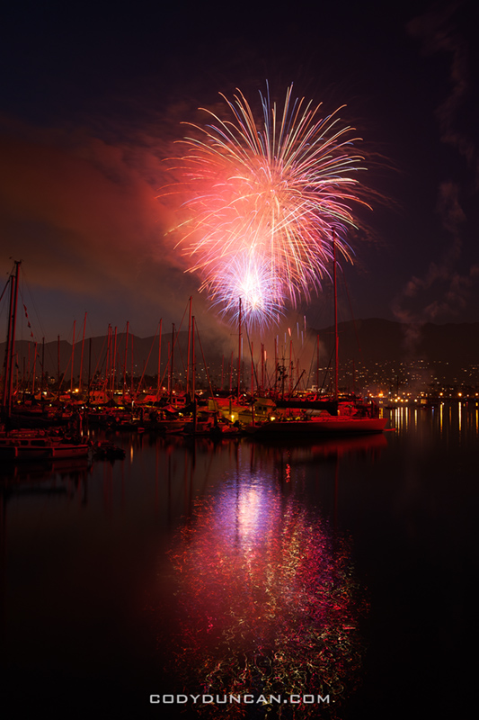
4th of july fireworks santa barbara 2011

4th of July fireworks over Santa Barbara harbour.  A bit on the weak side this year, so it goes…

Tuolumne Meadows Yosemite

Tuolumne meadows yosemite landscape

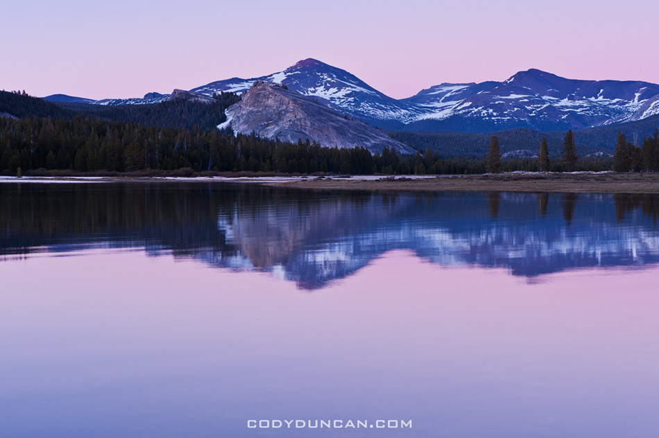
Photo: Sunset from a flooded Tuolumne Meadows over Lembert Dome and Mount Dana, Yosemite national park. June 23, 2011

Over the weekend I was on a short camping trip with my dad and brother.  While I’ve taken trips with each of them individually in the last years, it’s probably been 10+ years since the 3  of us sat around a campfire together.  Highway 120 to Tuolumne Meadows just opened last weekend, so we were some of the first to enjoy summer in Yosemite’s high country this year.  The sky was cloudless and the sun was hot.  Snow seems to be melting quite fast and the river are quite big at the moment.  These first two photo’s show the current conditions of the meadow which is quite flooded at the moment.  Mosquitoes still haven’t arrived in the high country, but were quite viscous at the campground.

It wasn’t really a photo trip for me so I didn’t shoot too much.  Though I still managed to get myself up at 4:00 am on a couple days and go looking for images.  Didn’t end up with anything interesting.

Tuolumne meadows yosemite landscape

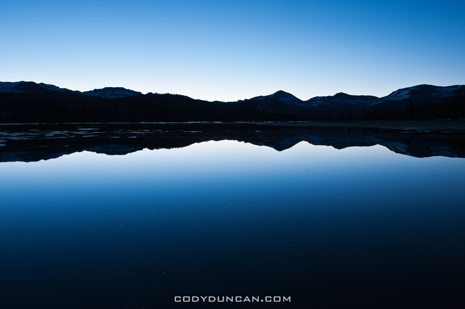
Photo: Sunrise from a flooded Tuolumne meadows, Yosemite, California.

Tuolumne meadows yosemite landscape

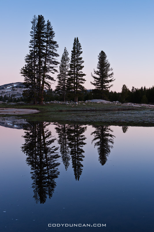
Photo: Dawn reflection on Tuolumne Meadows, Yosemite, California.

Summer

Summer day, Tuolumne Meadows, Yosemite national park, California

It’s kind of sad to think that after today the days are getting shorter again.  Though here in Santa Barbara at 33˚ N latitude, we don’t really get long summer days anyhow.  Nothing cool like walking along the beach at 10pm and watching the sun sink into the North Sea from and Ostfriesland island.  Or the simply endless days of the arctic.  Here, summer generally means less sleep.  I need to set my alarm for all too early in the morning, and need to stay up far too late in the evening.

At the beginning of the year, it had been my plan have been living on the Lofoten islands right now.  I wanted to start a book project today of 1 photo a day for an entire year, showing the dramatic transition of light and dark that occurs every year.  I still have hopes of getting back to Lofoten before the end of the year, but things are still up in the air.  It was probably too ambitious of an idea anyways, and would have stretched my creativity to the limit while trying to produce a unique image after the 3rd straight week of rain.  I might try and complete a more scaled back version of the idea, focusing more on the seasonal changes of the islands.  But it all really depends on if someone at the Norwegian embassy believes in me enough to grant me a work visa, or if they just consider me some lazy dreamer.  I’m also getting the feeling that I need to call myself an artist rather than photographer.  People seem to get more street cred as an ‘artist’ for some reason.

I’m heading up to Tuolumne over the weekend for a short family trip.  Will have to miss the Santa Barbara solstice parade unfortunately, which is about the only interesting thing us Californians do for midsummer, as opposed to the cool festivals/bonfires all over Europe.  The photo above is from a couple years ago, of a nice and green (and mosquito filled) Tuolumne meadows.  This year I should return with a more wintery collection of images.  The pass just opened last weekend, so winter still hasn’t quite heard the news, it’s summer now!

Panoramic Landscape Photography

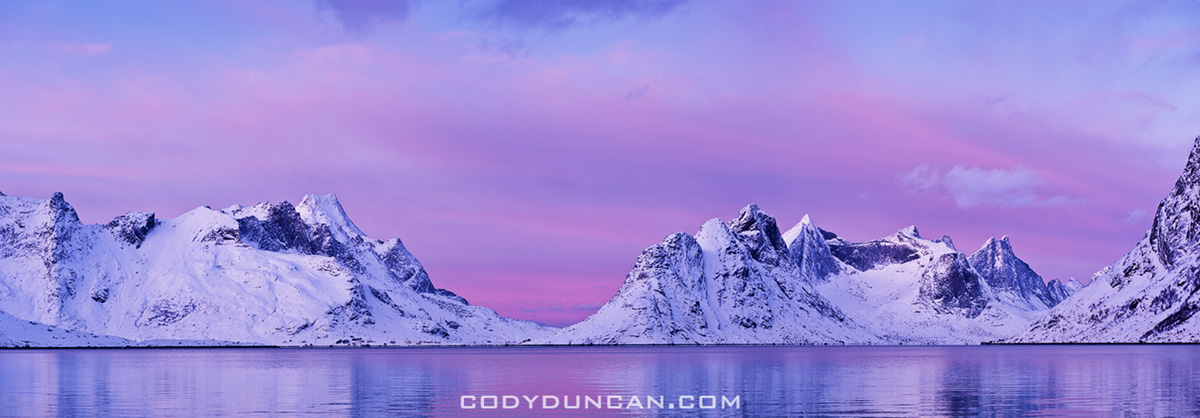
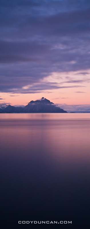
Scenic winter view across Kjerkfjorden towards Vindstad, near Reine, Lofoten islands, Norway

Winter view across Kjerkfjorden towards Vindstad, Lofoten islands, Norway.  Jan 2010.  This was perhaps one of the most perfect days I’ve experienced in my life.  The day to which I have since judged every other; none having come close in the last 18 months since I took this photo.  But as with all good things, the 4 hours of light of the polar winter was gone all to quickly.  An amazing 4 hours it was.

I now have close to 600 images in my panoramic gallery.  CLICK HERE to view more.

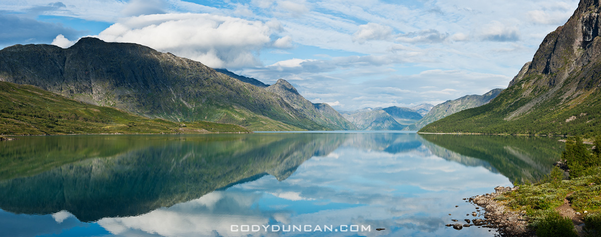
Reflection on lake Gjende, Gjendesheim, Jotunheimen national park, Norway

Lake Gjende, Jotunheimen national park, Norway.  Aug 2010.  I rose early for sunrise, yet nothing of much interest materialized so I returned to my tent for a few more hours of rest.  A few ours later I peeked out the door and saw this scene of total calm.  I checked my watch, shit, the ferry leaves in a few minutes, time to get moving.  I hoped up, ran down barefooted (to the mosquitoes liking) to the shore of the lake.  5 minutes later, the morning ferry to Gjendesheim passes by, the wake leaving the lake rippled there after…

Dramatic light over Lofoten and Vesteralen islands, Norway

Lofoten and Vesteraalen islands, Norway.  Sept 2009.  Taken from on board the Hurtigruten ferry as I traveled from Sortland to Stamsund on a rather stormy and windy day.  Luckily storms and wind make for nice light is one is brave enough to face the elements.  I made many nice Photos during this journey.

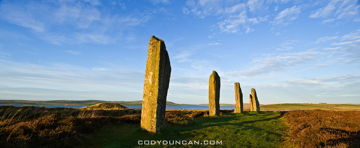
Ring of Brodgar standing stones, Orkney, Scotland

Ring of Brodgar, Orkney, Scotland. Dec 2009.  The barren, windswept islands which make up the Orkney islands are one of my favorite places.  While the short days of December are probably not the most ideal time to visit, it had been three years since I last stepped foot here, so my return was long overdue.  Despite a bit of wind, the weather cooperated quite well over the few days I was there.

Welsh Mountain Pony

Welsh Mountain Pony, Hay Bluff, Brecon Beacons national park, Wales. Jun 2010.  Hay Bluff, just above the town of Hay-on-Wye was one of my favorite places for a summer afternoon of wandering around the hills.  Quite often the weather was typically ‘Welsh’ (rain), yet some days managed to turn out quite nice, there in a Welsh Mountain Pony, and there you go, the photo is almost made for you.

Stamsund, Lofoten islands Norway

Stamsund, Lofoten islands, Norway.  July 2010.  I’ve stood in this very spot a hundred times in the last 10 years, and walked away with a hundred different images.  It’s a little rocky point out beyond the harbor from the Stamsund Vandrerhjem.  To the north is this view towards Henningsvaer.  East looks across the Vestfjord towards the Norwegian mainland, visible on clear days.  This photo was taken after 11:00pm, on one of those magically endless Lofoten summer days.  Stamsund is quite simply the center of the universe, enter and you may never return…

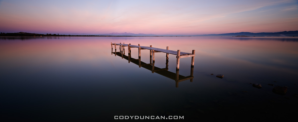
Abandoned walkay in water, Salton Sea, California

Salton Sea, California.  Mar 2010.  The Salton Sea is always an interesting place, both for ones eyes and nose.  I arrived in darkness to a location that I thought I knew, yet I wasn’t aware just how far the lake level had declined since my last visit.  This is what I found waiting in the morning light.

Eureka dunes, Death Valley national park, California

Eureka Dunes, Death Valley national park, California. Feb 2011.  Isolated in the northern end of Death Valley national park are the Eureka Dunes.  Less frequented than other areas of the park, one can escape here for a bit more isolation and a better chance at footprint-less dunes.

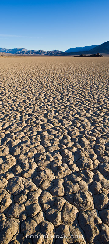
Dry lake bed of the Racetrack playa, Death Valley national park, California

Devil’s Racetrack, Death Valley national park, California. Feb 2010.  Vertical panoramic to emphasize the texture of the dry lake bed playa.


Lone Pine Peak

Lone Pine Peak winter panoramic

Photo: Winter dawn on Lone Pine Peak, Sierra Nevada Mountains, California. Feb 2010

Failure

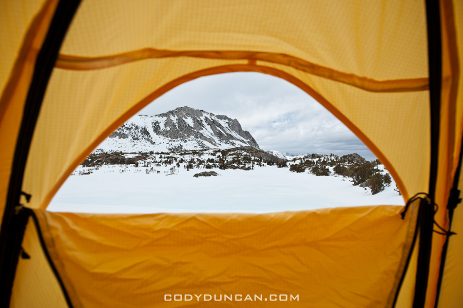
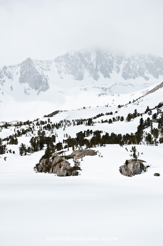
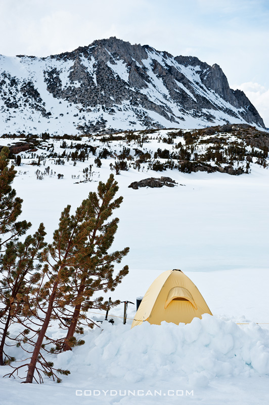
view from tent in winter

Well, it’s Tuesday and I’m back in Santa Barbara instead of up in the mountains.  Had a bit of a technical problem, compounded by a stupid oversight on my part, which forced me to call off the mountain.

The problem, my stove didn’t work.  No stove in winter camping means no water to drink.  A bit of an issue.  Ya, that’s a frozen lake in the foreground of the above photo, but it wouldn’t have been the smartest decision in my life if I had tried get get water out of it.  The stupid mistake on my part was that I didn’t bring a lighter/matches – which I normally always have in my bag, but I had to take everything out when I last flew, and I guess things never made it back in.  Now the stove is supposed to be self lighting with one of those ‘clicker’ things, but being a new one, I never tested it out at 12,000 feet, where it apparently doesn’t work.  Started up just fine once back down in the valley.  Stupid me…

Had it been sunnier, I would have tried putting my water bladder on top of my snow shovel (black) to maybe get some heat radiation to melt some snow; likely not enough to continue the climb, but at least for a less thirsty night/hike out.  My best attempt  was to fill up a small bottle with snow at keep in next to my body under my jacket.  Managed to get a couple sips for the morning at least.  I wasn’t in that far, so I didn’t have any worries about an ‘epic,’ just more anger at a situation I could have easily avoided.

I could have gone back in the next day, but I sort of lost my motivation for suffering.  Spent the afternoon bouldering at the Buttermilks, but I still wasn’t feelin’ it.  I’m a bit distracted at the moment with trying/hoping/figuring out how to get a work visa for Norway, which isn’t looking all that hopeful, unfortunately.  If I had $20,000 sitting around, I might qualify for a 6 month ‘skilled migrant job seeker’ type visa, but I’m a little poor for that.  At the beginning of the year I had hoped to be in Lofoten by June where I want to work on a book project over the course of a year, as well as run some photo workshops/tours for more adventurous types.  Not just the walk 10 feet from the road type stuff, but camping in the mountains and longer hikes, more of less what most of my own travels are.  I basically want to be some sort of photo/travel ambassador for the Lofoten islands as anyone who’s ever been knows it’s the coolest place in the world!  More thoughts on this later, I’m still hoping that I can pull something off, somehow, someway…

On the bright side, at least I walked away less sunburt than normal.

sierra nevada mountains winter landscape

sierra nevada mountains winter landscape

winter camping sierra nevada mountains